Isle of Wight County is a county located in the Hampton Roads region of the U.S. state of Virginia. It was named after the Isle of Wight, England, south of the Solent, from where many of its early colonists had come. As of the 2020 census, the population was 38,606. Its county seat is Isle of Wight, an unincorporated community.
Isle of Wight County is located in the Virginia Beach–Norfolk–Newport News, VA-NC Metropolitan Statistical Area. Its northeastern boundary is on the coast of Hampton Roads waterway.
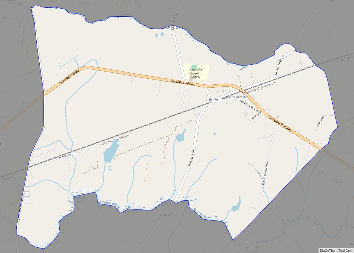
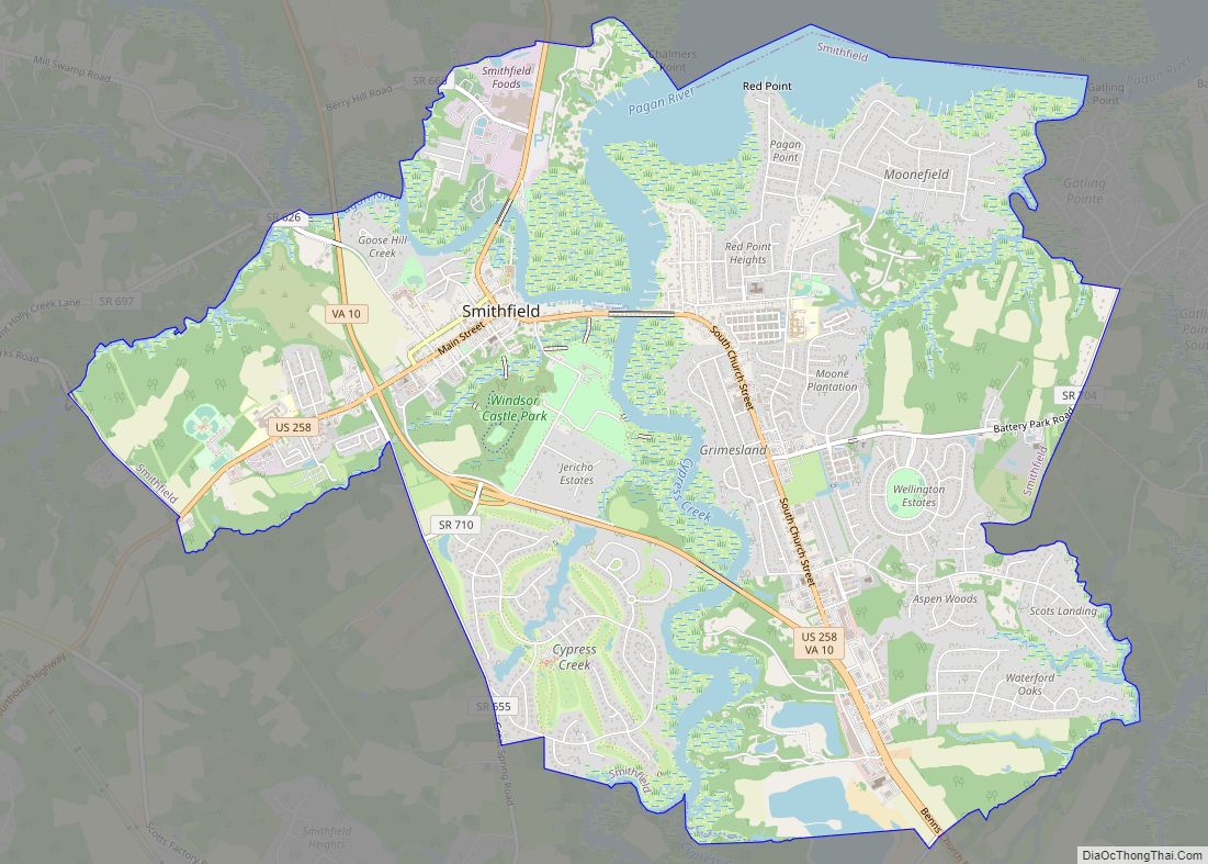
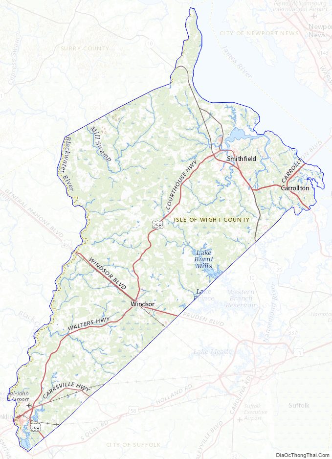
Isle of Wight County features two incorporated towns, Smithfield and Windsor. The first courthouse for the county was built in Smithfield in 1750. The original courthouse and its associated tavern (The Smithfield Inn) are still standing.
As the county population developed, leaders thought they needed a county seat near the center of the area. They built a new courthouse near the center of the county in 1800. The 1800 brick courthouse and its associated tavern (Boykin’s Tavern) are still standing, as are the 1822 clerk’s offices nearby. Some additions have been made. The 1800 courthouse is used daily, serving as the government chambers for the Board of Supervisors, as well as the meeting hall for the school board. The chambers are sometimes used as a court for civil trials if the new courthouse is fully in use. The new courthouse opened in 2010; it is across the street from the sheriff’s office and county offices complex.
| Name: | Isle of Wight County |
|---|---|
| FIPS code: | 51-093 |
| State: | Virginia |
| Founded: | 1634 |
| Named for: | Isle of Wight |
| Seat: | Isle of Wight |
| Largest town: | Smithfield |
| Total Area: | 363 sq mi (940 km²) |
| Land Area: | 316 sq mi (820 km²) |
| Total Population: | 38,606 |
| Population Density: | 110/sq mi (41/km²) |
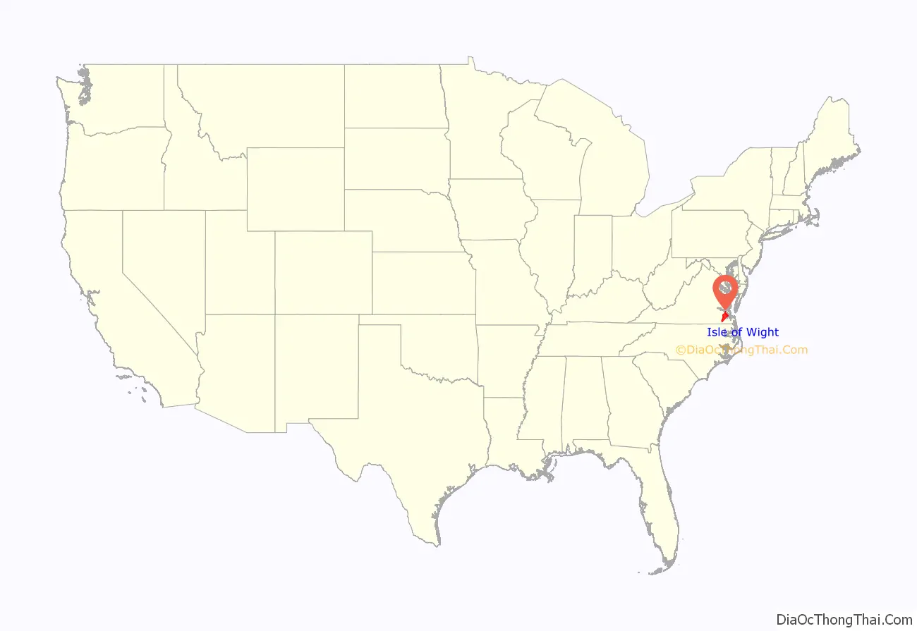
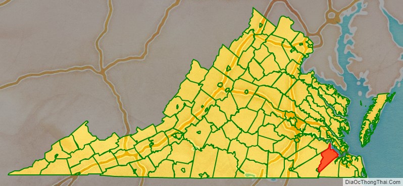
Isle of Wight County location map. Where is Isle of Wight County?
History
During the 17th century, shortly after establishment of the settlement at Jamestown in 1607, English settlers explored and began settling the areas adjacent to the large Hampton Roads waterway. Captain John Smith in 1608 crossed the James River and obtained fourteen bushels of corn from the Native American inhabitants, the Warrosquyoack or Warraskoyak. They were a tribe of the Powhatan Confederacy, who had three villages in the area of modern Smithfield. English colonists drove the Warraskoyak from their villages in 1622 and 1627, as part of their reprisals for the Great Massacre of 1622, in which the Native Americans had decimated English settlements, hoping to drive them out of their territory.
The first English plantations along the south shore within present-day Isle of Wight were established by Puritan colonists, beginning with that of Christopher Lawne in May 1618, and Edward Bennett (colonist) in 1621. Several members of the Puritan Bennett family also settled there, including Edward’s nephew, Richard Bennett. He led the Puritans to neighboring Nansemond in 1635, and later was appointed as governor of the Virginia Colony.
By 1634, the entire Colony consisted of eight shires or counties with a total population of approximately 5,000 inhabitants. Warrosquyoake Shire was renamed in 1637 as Isle of Wight County, after the island off the south coast of England. The original name had come derived from the Native Americans of the area; it went through transliteration and Anglicisation, eventually becoming known as “Warwicke Squeake”.
On October 20, 1673, the “Grand Assembly” at Jamestown authorized both Isle of Wight County and Lower Norfolk County to construct a fort.
St. Luke’s Church, built in the 17th century, is Virginia’s oldest church building. In the late 20th century, it was designated as a National Historic Landmark in recognition of its significance. Many landmark and contributing structures on the National Register are located in Smithfield including the Wentworth-Grinnan House.
In 1732 a considerable portion of the northwestern part of the original shire was added to Brunswick County, and in 1748 the entire county of Southampton was carved out of it.
During the American Civil War, Company F of the 61st Virginia Infantry Regiment of the Confederate Army was called the “Isle of Wight Avengers.”
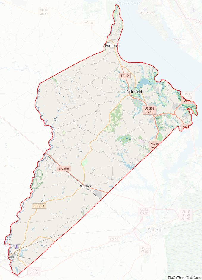
Isle of Wight County Road Map
Geography
According to the U.S. Census Bureau, the county has a total area of 363 square miles (940 km), of which 316 square miles (820 km) is land and 47 square miles (120 km) (13.0%) is water.
The county is bounded by the James River on the north and the Blackwater River to the south. The land is generally low-lying, with many swamps and pocosins.
Adjacent counties and independent cities
- Newport News, Virginia — northeast
- Suffolk, Virginia — southeast
- Southampton County — west
- Franklin, Virginia — southwest
- Surry County — northwest
Major highways
- US 17
- US 258
- US 460
- SR 10
- SR 32
Isle of Wight County Topographic Map
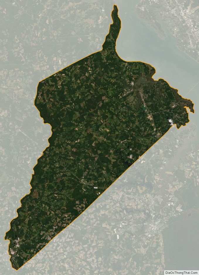
Isle of Wight County Satellite Map
Isle of Wight County Outline Map