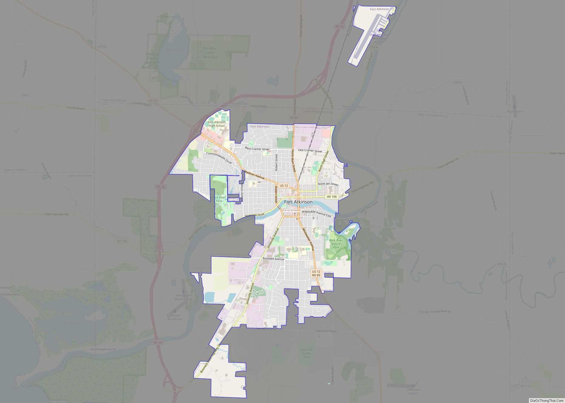
Jefferson County is a county in the U.S. state of Wisconsin. As of the 2020 census, the population was 84,900. Its county seat is Jefferson. Jefferson County comprises the Watertown–Fort Atkinson, WI Micropolitan Statistical Area, which is also included in the Milwaukee–Racine–Waukesha, WI Combined Statistical Area.
| Name: | Jefferson County |
|---|---|
| FIPS code: | 55-055 |
| State: | Wisconsin |
| Founded: | 1839 |
| Named for: | Jefferson County, New York |
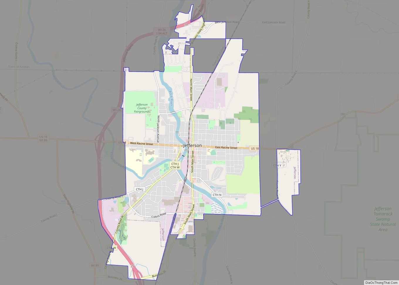
| Seat: | Jefferson |
| Largest city: | Watertown |
| Total Area: | 583 sq mi (1,510 km²) |
| Land Area: | 556 sq mi (1,440 km²) |
| Total Population: | 84,900 |
| Population Density: | 152.6/sq mi (58.9/km²) |
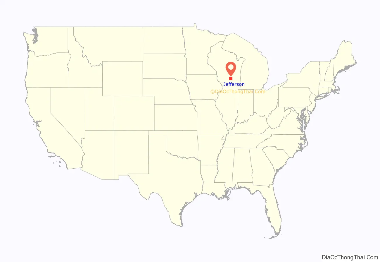
Jefferson County location map. Where is Jefferson County?

History
Jefferson County was created in 1836 as part of Wisconsin Territory and was organized in 1839. Jefferson County was founded by “Yankee” settlers from New England. It was named after Jefferson County, New York, where some of the original settlers came from. The town of Watertown, Wisconsin, was named after Watertown, New York, in Jefferson County, New York.
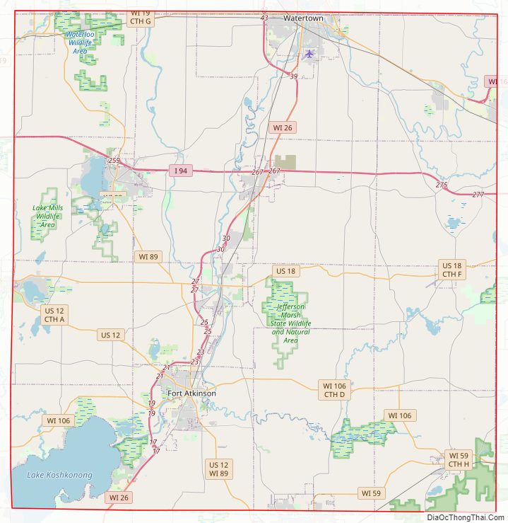
Jefferson County Road Map
Geography
According to the U.S. Census Bureau, the county has an area of 583 square miles (1,510 km), of which 556 square miles (1,440 km) is land and 26 square miles (67 km) (4.5%) is water.
Major highways
Railroads
- Canadian Pacific
- Union Pacific
- Wisconsin and Southern Railroad
Buses
- List of intercity bus stops in Wisconsin
Airports
- Watertown Municipal Airport (KRYV) provides services for the county and surrounding communities.
- Fort Atkinson Municipal Airport (61C), enhances county service.
Adjacent counties
- Dodge County – north
- Waukesha County – east
- Walworth County – southeast
- Rock County – southwest
- Dane County – west
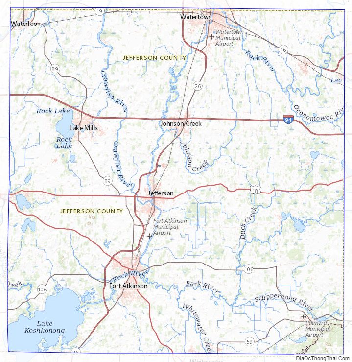
Jefferson County Topographic Map
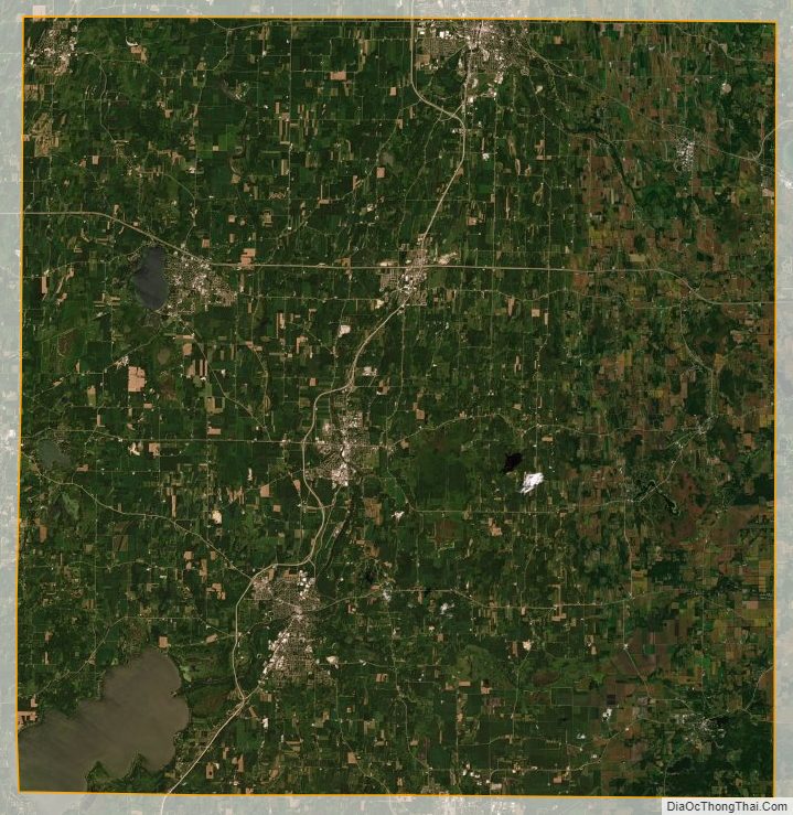
Jefferson County Satellite Map
Jefferson County Outline Map