Watertown is a city in Dodge and Jefferson counties in the U.S. state of Wisconsin. Most of the city’s population is in Jefferson County. Division Street, several blocks north of downtown, marks the county line. The population of Watertown was 22,926 at the 2020 census. Of this, 14,674 were in Jefferson County, and 8,252 were in Dodge County. Watertown is the largest city in the Watertown-Fort Atkinson micropolitan area, which also includes Johnson Creek and Jefferson.
| Name: | Watertown city |
|---|---|
| LSAD Code: | 25 |
| LSAD Description: | city (suffix) |
| State: | Wisconsin |
| County: | Dodge County, Jefferson County |
| Elevation: | 853 ft (260 m) |
| Total Area: | 12.46 sq mi (32.28 km²) |
| Land Area: | 12.06 sq mi (31.25 km²) |
| Water Area: | 0.40 sq mi (1.04 km²) |
| Total Population: | 22,926 |
| Population Density: | 1,946.20/sq mi (751.43/km²) |
| Area code: | 920 |
| FIPS code: | 5583975 |
| GNISfeature ID: | 1576295 |
| Website: | www.ci.watertown.wi.us |
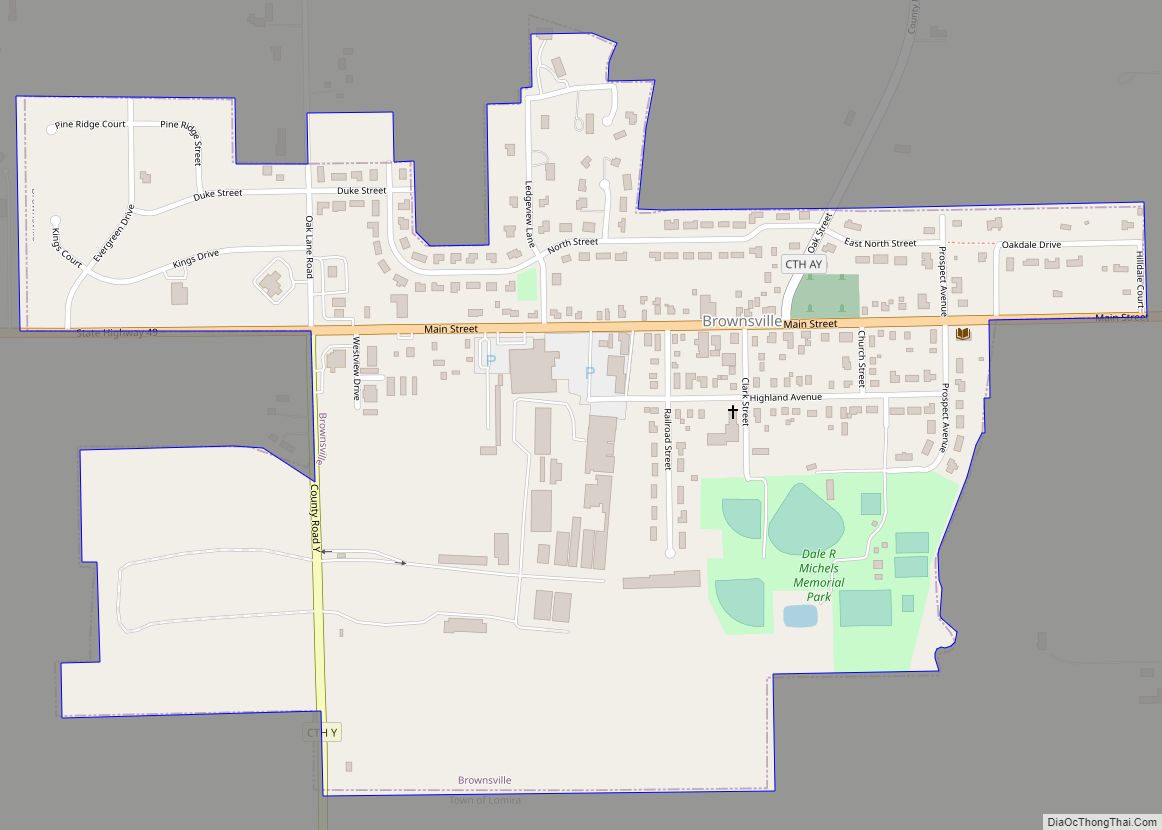
Online Interactive Map
Click on ![]() to view map in "full screen" mode.
to view map in "full screen" mode.
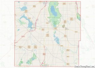
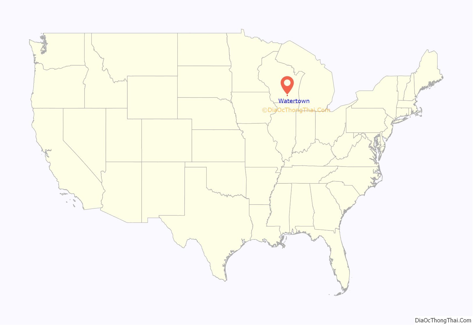
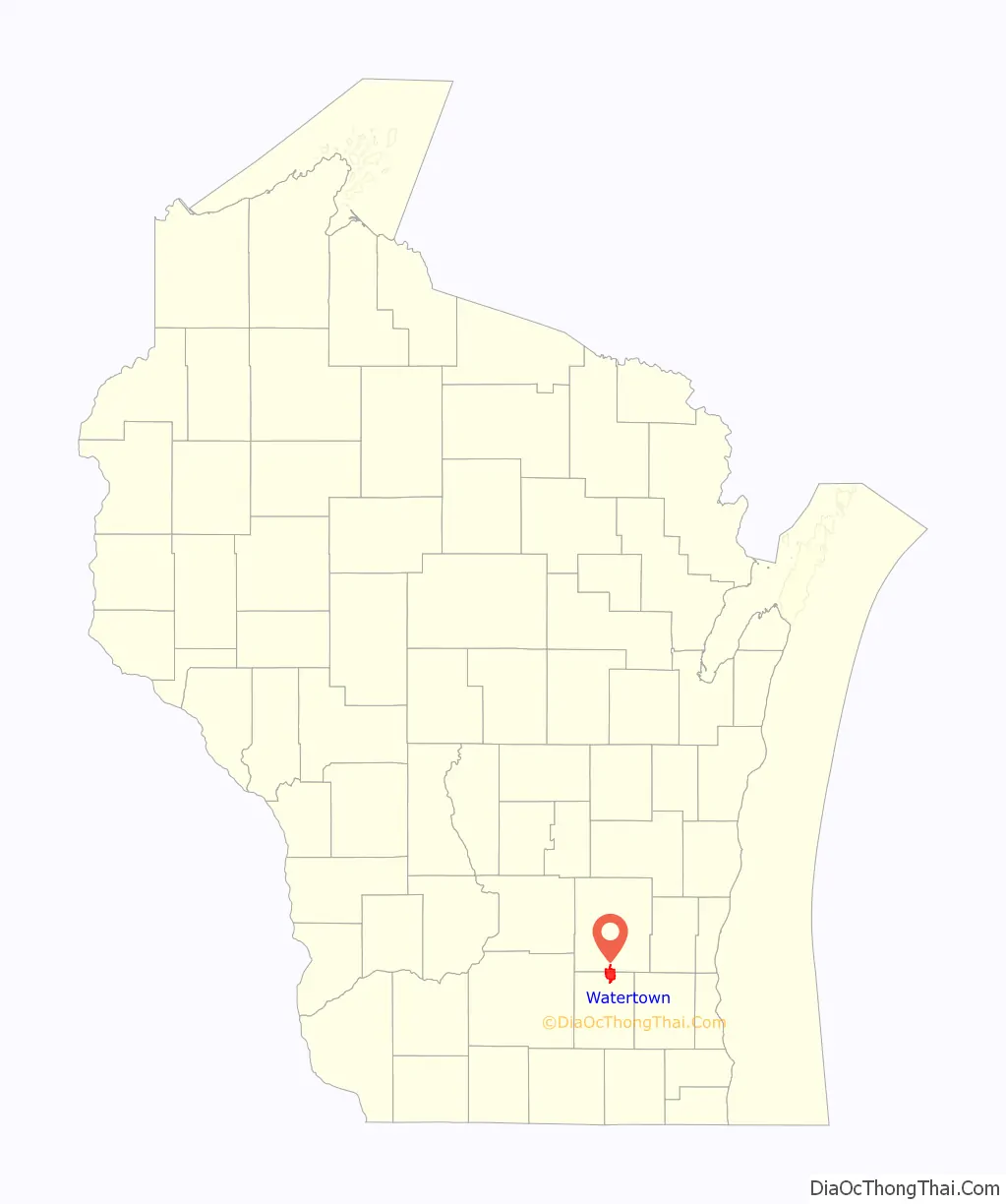
Watertown location map. Where is Watertown city?
History
Origin
Watertown was first settled by Timothy Johnson, who built a cabin on the west side of the Rock River in 1836. He was born in Middleton, Middlesex County, Connecticut, on the 28th of June, 1792. A park on the west side of the city is named in his honor. The area was settled to utilize the power of the Rock River, which falls 20 feet (6.1 m) in two miles (two 10-foot (3.0 m) dams). In contrast, the Rock River falls only 34 feet (10 m) in 58 miles (93 km) upstream from Watertown. The water power was first used for sawmills, and later prompted the construction of two hydroelectric dams, one downtown (where the river flows south) and one on the eastern edge of the city (where the river flows north).
Watertown was a New England settlement. The original founders of Watertown consisted entirely of settlers from New England, particularly Connecticut, rural Massachusetts, Vermont, New Hampshire and Maine, as well some from upstate New York who were born to parents who had migrated to that region from New England shortly after the American Revolution. These people were “Yankees”, that is to say they were descended from the English Puritans who settled New England in the 1600s. They were part of a wave of New England farmers who headed west into what was then the wilds of the Northwest Territory during the early 1800s. Most of them arrived as a result of the completion of the Erie Canal as well as the end of the Black Hawk War. When they arrived in what is now Watertown there was nothing but dense virgin forest and wild prairie, the New Englanders laid out farms, constructed roads, erected government buildings and established post routes. They brought with them many of their Yankee New England values, such as a passion for education, establishing many schools as well as staunch support for abolitionism. They were mostly members of the Congregationalist Church though some were Episcopalian. Due to the second Great Awakening some of them had converted to Methodism and some had become Baptists before moving to what is now Watertown. Watertown, like much of Wisconsin, would be culturally very continuous with early New England culture for most of its early history. It was incorporated as a village in 1849, and chartered as a city in 1853.
In the 1850s, immigrants arrived in Watertown from Germany. Most of the German immigrants who arrived in Watertown brought with them the trappings of the German middle class, including a proclivity for classical music, the Latin language and ornate furniture. Unlike instances in other parts of the country in which they faced discrimination and xenophobia, they were welcomed with open arms by the English-Puritan descended “Yankee” population of Watertown and Jefferson County as a whole. This warm reception led to chain migration, which in turn greatly increased the German population of the region. Culturally they had much in common with the New England derived population. For instance both groups unanimously opposed slavery and both had a pronounced love for commerce and industry. Economically both communities would thrive in Watertown for the entirety of the 19th century, not facing any measurable economic hardships until the Great Depression in the following century.
Milwaukee and Rock River Canal
A canal from Milwaukee to the Watertown area was once planned, but was replaced by railroad before any work had been completed, other than a dam in Milwaukee. The territorial legislature incorporated the Milwaukee and Rock River Canal company in 1836, but the plan was abandoned in 1848. The canal would have provided a waterway between the Great Lakes and the Mississippi River, but even if completed, it may not have seen much success because railroads had already become the preferred mode of transportation.
19th century growth
In 1853, a plank road was completed from Milwaukee to Watertown. After plank roads were no longer used, the route was replaced by highway (Wisconsin Highway 16) and a railroad. A street named “Watertown Plank Road” survives in Milwaukee. It is referred to in the “Plank Road Brewery” family of beers, produced by Miller Brewing Company in Milwaukee.
There was an influx of German immigrants in the late 19th century. The city is the home of the first kindergarten in the United States, started in 1856 by Margarethe Schurz, wife of statesman Carl Schurz; the building that housed this kindergarten is now located on the grounds of the Octagon House Museum in Watertown.
City railroad bond default
Growth of the city was substantially hampered when Watertown issued almost half a million dollars in bonds to support the building of two railroads to town to encourage further growth: the Chicago & Fond du Lac Company and the Milwaukee, Watertown & Madison Road. The success of the plank road convinced residents that a railroad would be even more beneficial, and bonds were issued from 1853 to 1855. The Milwaukee and Watertown Railroad, as it was called before it extended to Madison, was completed in 1855, only the second line in the state.
Soon after, in the Panic of 1857, the two railroads went bankrupt. The bonds were sold by the original investors to out-of-town speculators at a small fraction of their face value. Since the railroads were never built and did not produce revenue, the city was unable to pay off the bonds. Moreover, the city did not feel compelled to do so because the creditors (those who held the bonds) were not only from out of town, but weren’t even the original holders. Yet the creditors exerted so much pressure on the city to pay off the bonds that Watertown effectively dissolved its government so that there was no legal entity (the government as a whole or officers) that could be served a court order to pay or appear in court. The case was not resolved until 1889, when it had risen all the way to the Supreme Court of the United States, which essentially dismissed the case of the creditors. A small amount remained to be paid, and this was not paid off until 1905, half a century later.
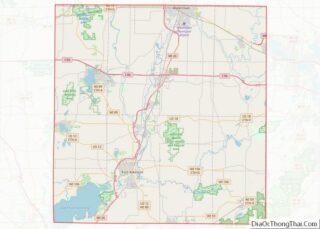
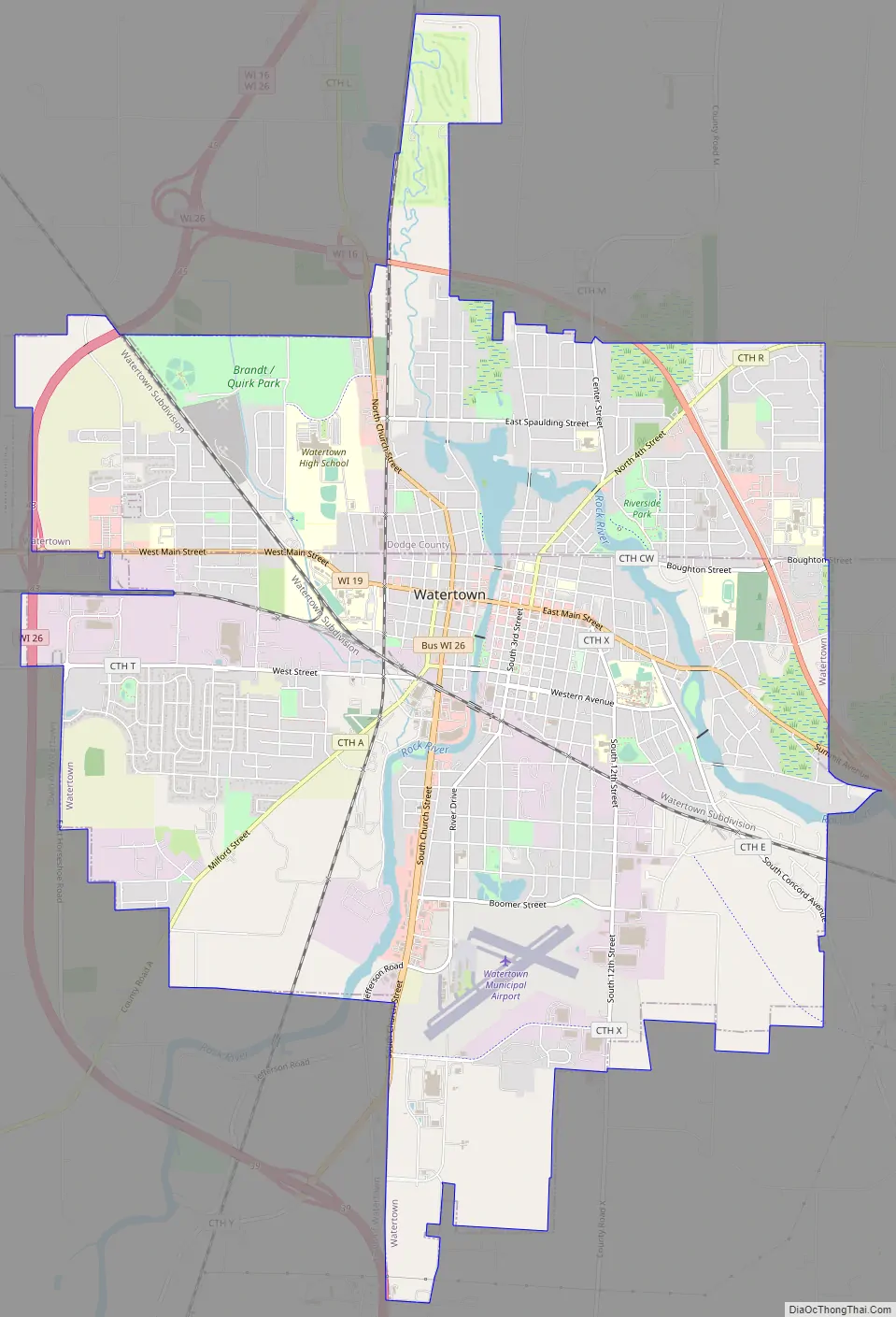
Watertown Road Map
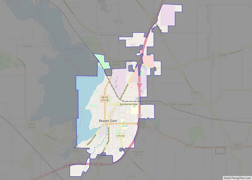
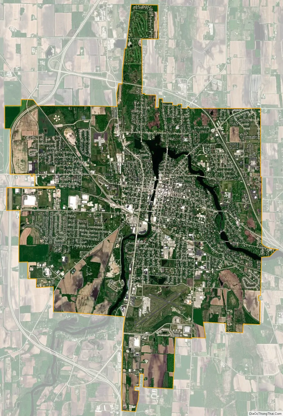
Watertown city Satellite Map
Geography
Watertown is located in southeastern Wisconsin, approximately midway between Madison and Milwaukee, at 43°12’N 88°43’W (43.193, −88.724). According to the United States Census Bureau, the city has a total area of 12.46 square miles (32.27 km), of which, 12.06 square miles (31.24 km) is land and 0.40 square miles (1.04 km) is water. Small communities in the immediate area (e.g., within the school district) include Richwood, Lebanon, Old Lebanon, Sugar Island, Pipersville, Concord, Ebenezer, and Grellton.
The Rock River flows through Watertown in a horseshoe bend before heading south and west on its way to the Mississippi River. The city originally developed inside the horseshoe, though it has long since grown beyond. Silver Creek adjoins the river in the city, as does a short creek on the west side.
The most notable geographical feature is a high density of drumlins, long hills formed by the glaciers of the Wisconsin glaciation as they retreated northwards. Hills in the area are elongated in the north-south direction.
See also
Map of Wisconsin State and its subdivision:- Adams
- Ashland
- Barron
- Bayfield
- Brown
- Buffalo
- Burnett
- Calumet
- Chippewa
- Clark
- Columbia
- Crawford
- Dane
- Dodge
- Door
- Douglas
- Dunn
- Eau Claire
- Florence
- Fond du Lac
- Forest
- Grant
- Green
- Green Lake
- Iowa
- Iron
- Jackson
- Jefferson
- Juneau
- Kenosha
- Kewaunee
- La Crosse
- Lafayette
- Lake Michigan
- Lake Superior
- Langlade
- Lincoln
- Manitowoc
- Marathon
- Marinette
- Marquette
- Menominee
- Milwaukee
- Monroe
- Oconto
- Oneida
- Outagamie
- Ozaukee
- Pepin
- Pierce
- Polk
- Portage
- Price
- Racine
- Richland
- Rock
- Rusk
- Saint Croix
- Sauk
- Sawyer
- Shawano
- Sheboygan
- Taylor
- Trempealeau
- Vernon
- Vilas
- Walworth
- Washburn
- Washington
- Waukesha
- Waupaca
- Waushara
- Winnebago
- Wood
- Alabama
- Alaska
- Arizona
- Arkansas
- California
- Colorado
- Connecticut
- Delaware
- District of Columbia
- Florida
- Georgia
- Hawaii
- Idaho
- Illinois
- Indiana
- Iowa
- Kansas
- Kentucky
- Louisiana
- Maine
- Maryland
- Massachusetts
- Michigan
- Minnesota
- Mississippi
- Missouri
- Montana
- Nebraska
- Nevada
- New Hampshire
- New Jersey
- New Mexico
- New York
- North Carolina
- North Dakota
- Ohio
- Oklahoma
- Oregon
- Pennsylvania
- Rhode Island
- South Carolina
- South Dakota
- Tennessee
- Texas
- Utah
- Vermont
- Virginia
- Washington
- West Virginia
- Wisconsin
- Wyoming