Lafourche Parish (French: Paroisse de la Fourche) is a parish located in the south of the U.S. state of Louisiana. The parish seat is Thibodaux. The parish was formed in 1807. It was originally the northern part of Lafourche Interior Parish, which consisted of the present parishes of Lafourche and Terrebonne. Lafourche Parish was named after the Bayou Lafourche. City buildings have been featured in television and movies, such as in Fletch Lives, due to its architecture and rich history. At the 2020 census, its population was 97,557.
Long a center of sugar cane plantations and sugar production, in November 1887 the parish was the site of the Thibodaux Massacre. After state militia were used to suppress a massive Knights of Labor strike involving 10,000 workers in four parishes, many African Americans retreated to Thibodaux. Local paramilitary forces attacked the men and their families, killing an estimated 50 persons. Hundreds more were missing, wounded, and presumed dead in one of the deadliest incidents of labor suppression and racial terrorism.
Lafourche Parish is part of the Houma-Thibodaux metropolitan statistical area. People of the state-recognized Native American Houma Tribe live in both Lafourche and Terrebonne parishes.
| Name: | Lafourche Parish |
|---|---|
| FIPS code: | 22-057 |
| State: | Louisiana |
| Founded: | 1807 |
| Named for: | la fourche, French for the fork |
| Seat: | Thibodaux |
| Largest city: | Thibodaux |
| Total Area: | 1,474 sq mi (3,820 km²) |
| Land Area: | 1,068 sq mi (2,770 km²) |
| Total Population: | 97,557 |
| Population Density: | 91.35/sq mi (35.27/km²) |
| Time zone: | UTC−6 (Central) |
| Summer Time Zone (DST): | UTC−5 (CDT) |
| Website: | www.lafourchegov.org |
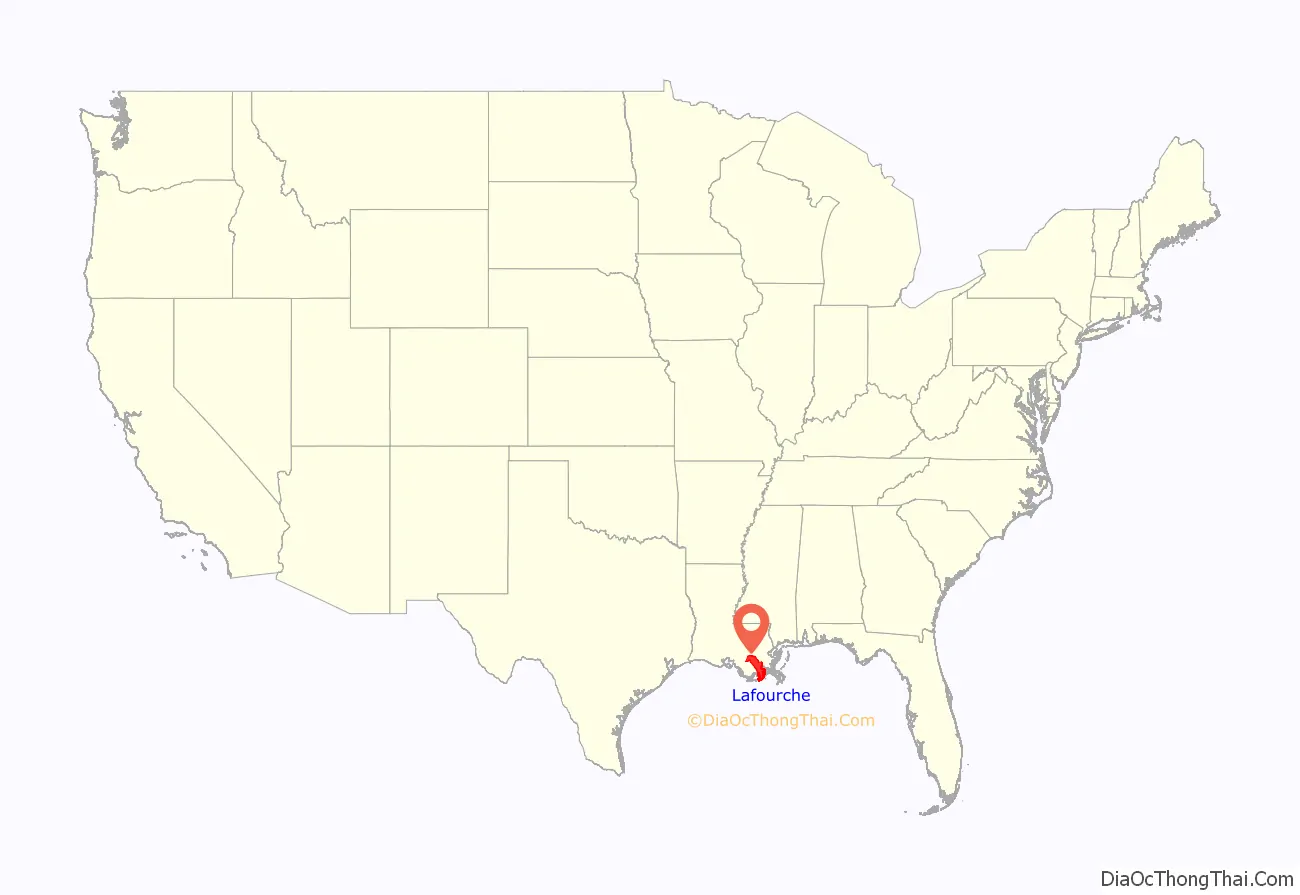
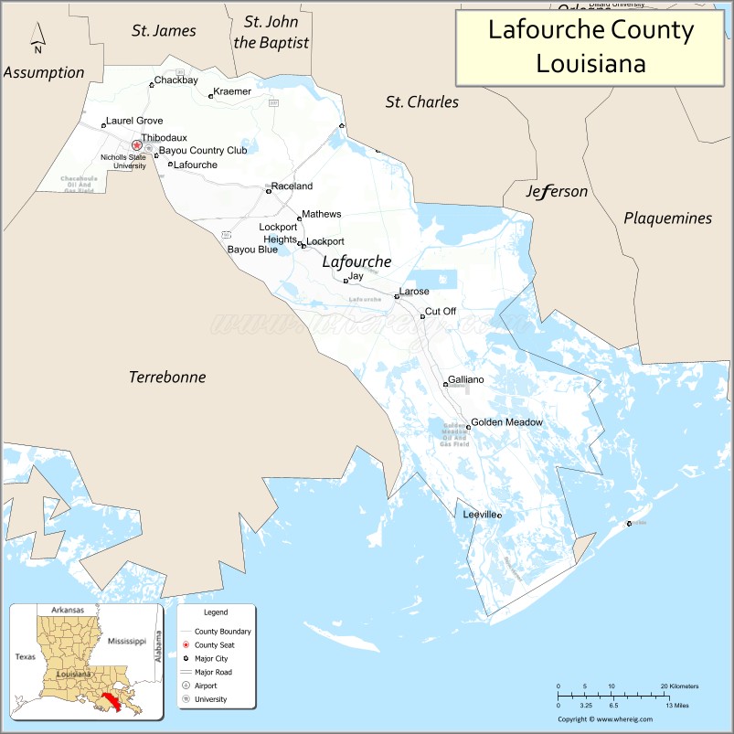
Lafourche Parish location map. Where is Lafourche Parish?
History
South Louisiana became known as Sugarland, and Lafourche one of the sugar parishes, where sugar cane plantations were established before and after the Civil War. They required the labor of large numbers of enslaved African Americans. In the postbellum era, they comprised from 50 to 80 percent of the population in most of the sugar parishes.
Particularly after Reconstruction, whites in the parish used violence and intimidation against the large population of freedmen to suppress Republican voting and re-establish white supremacy, but were less successful than in North Louisiana until after disenfranchisement of blacks at the turn of the century. From 1877 through the early 20th century, there were 52 lynchings of African Americans in Lafourche Parish. Most of the deaths were due to white suppression of labor unrest in 1887; blacks were skilled sugar workers and had begun to organize for better wages and conditions. Some 10,000 workers had struck in Lafourche and three other parishes during the critical harvest period. At the request of the planters, the state sent in militia against the workers to break the strike.
In what was called the Thibodaux Massacre of November 22, 1887, local whites organized by leaders of the town killed up to 50 blacks who had taken refuge in the African-American quarters after a major Knights of Labor strike was called on sugar plantations. Hundreds more were wounded or missing, and presumed dead.
The total deaths in this parish due to this racial terrorism were the highest of any parish in the state and nearly twice as high as some others among the six parishes with the highest totals. In general, most of the lynching and racial terrorism took place in the late 19th and early 20th centuries.
On August 29, 2021, Hurricane Ida made landfall in Port Fourchon at 16:55 UTC as a category 4 hurricane with maximum sustained winds of 150 mph. Additional reports surveyed by ships in Port Fourchon reported wind gusts up to 194 knots. In Golden Meadow, LA, the National Weather Service recorded storm surge measurements of 10.1 ft. It was the strongest storm on record to make landfall in Lafourche Parish and at the time the 5th costliest hurricane in United States history.
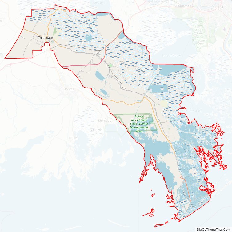
Lafourche Parish Road Map
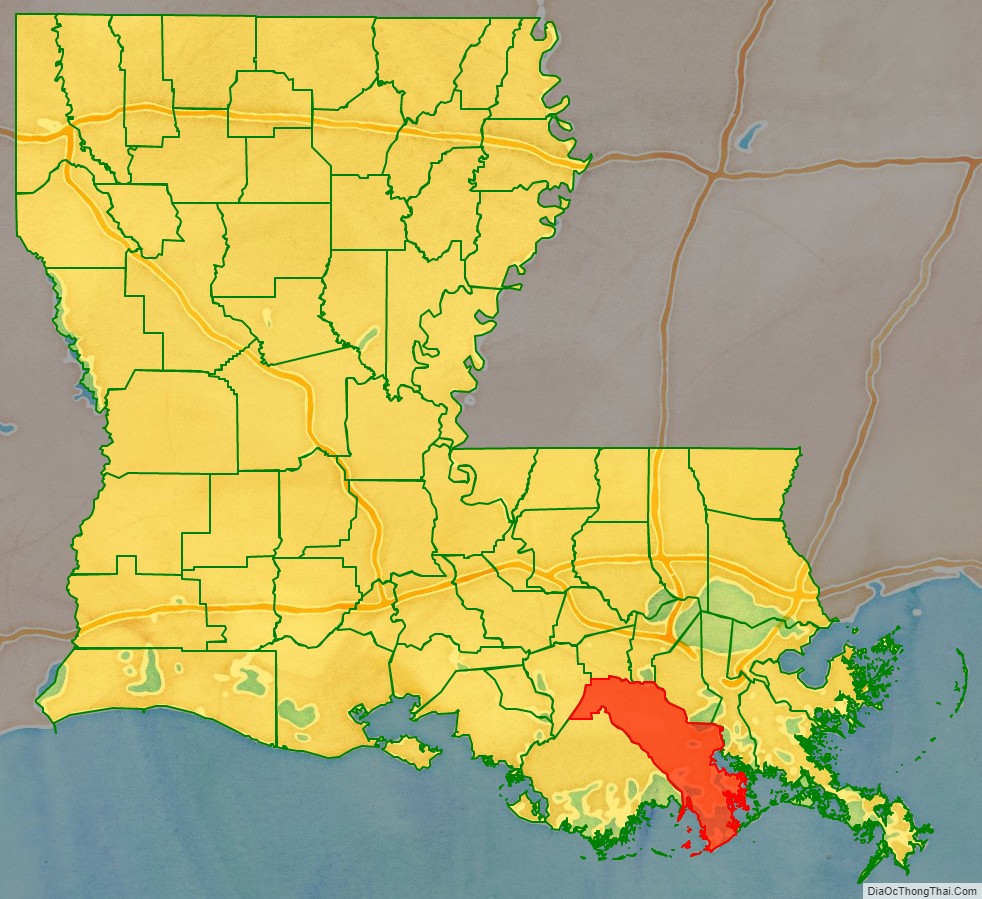
Geography
According to the U.S. Census Bureau, the parish has a total area of 1,474 square miles (3,820 km), of which 1,068 square miles (2,770 km) is land and 406 square miles (1,050 km) (28%) is water. To the south of the parish is the Gulf of Mexico.
Major highways
- Interstate 49 (future)
- U.S. Highway 90
- Louisiana Highway 1
- Louisiana Highway 20
- Louisiana Highway 24
- Louisiana Highway 304
- Louisiana Highway 308
Adjacent parishes
- St. James Parish (north)
- St. John the Baptist Parish (north)
- St. Charles Parish (northeast)
- Jefferson Parish (east)
- Terrebonne Parish (west)
- Assumption Parish (northwest)
National protected area
- Jean Lafitte National Historical Park and Preserve (part, in Thibodaux)
Communities
- Thibodaux (parish seat)
- Bayou Blue
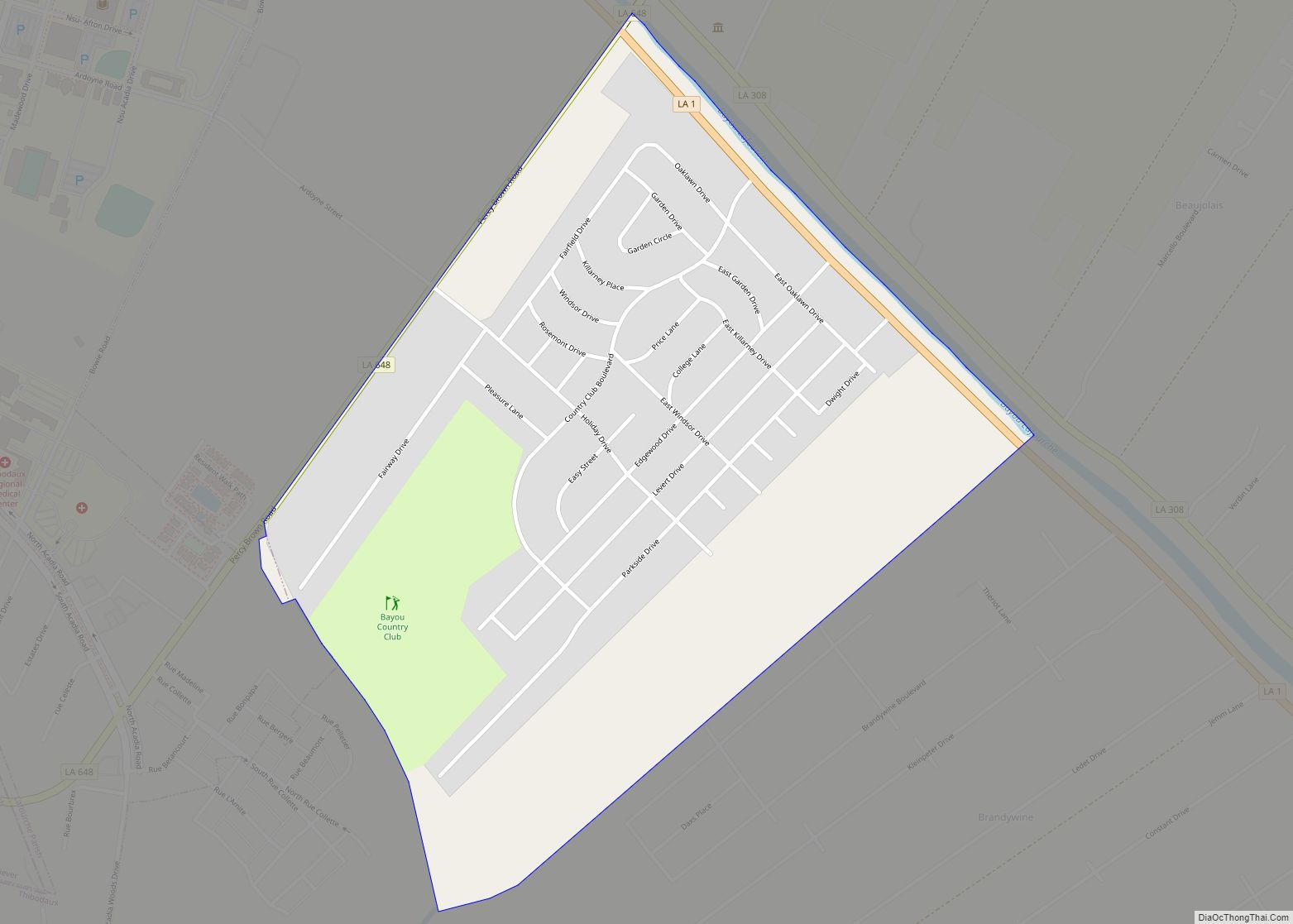
- Bayou Country Club
- Chackbay
- Choctaw
- Cut Off
- Des Allemands
- Galliano
- Kraemer
- Lafourche Crossing
- Larose
- Lockport Heights
- Mathews
- Port Fourchon
- Raceland
- Gheens
- Leeville
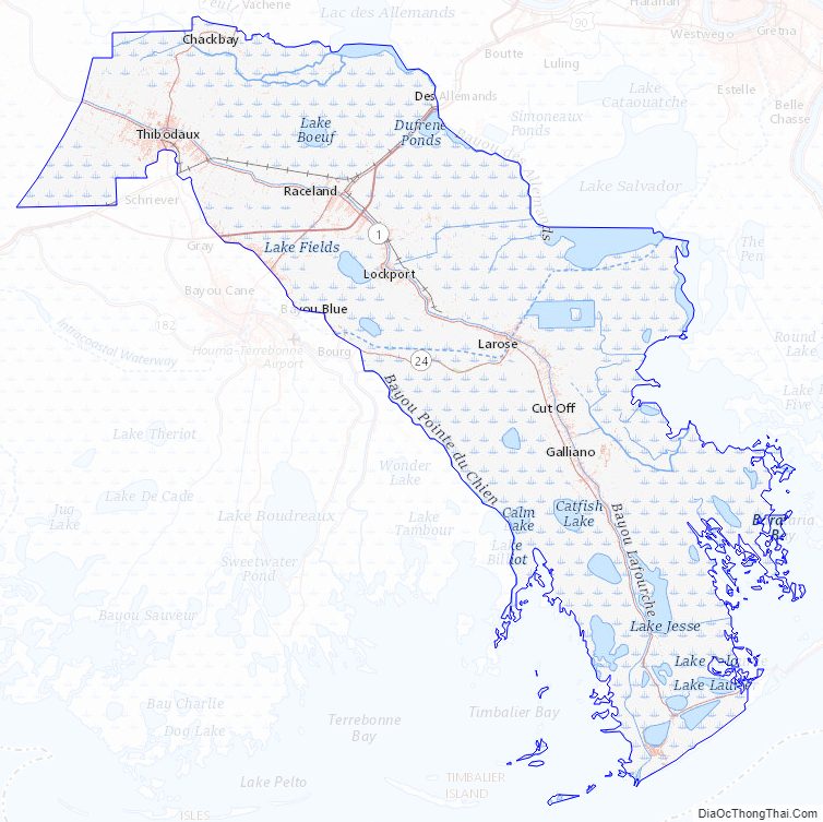
Lafourche Parish Topographic Map
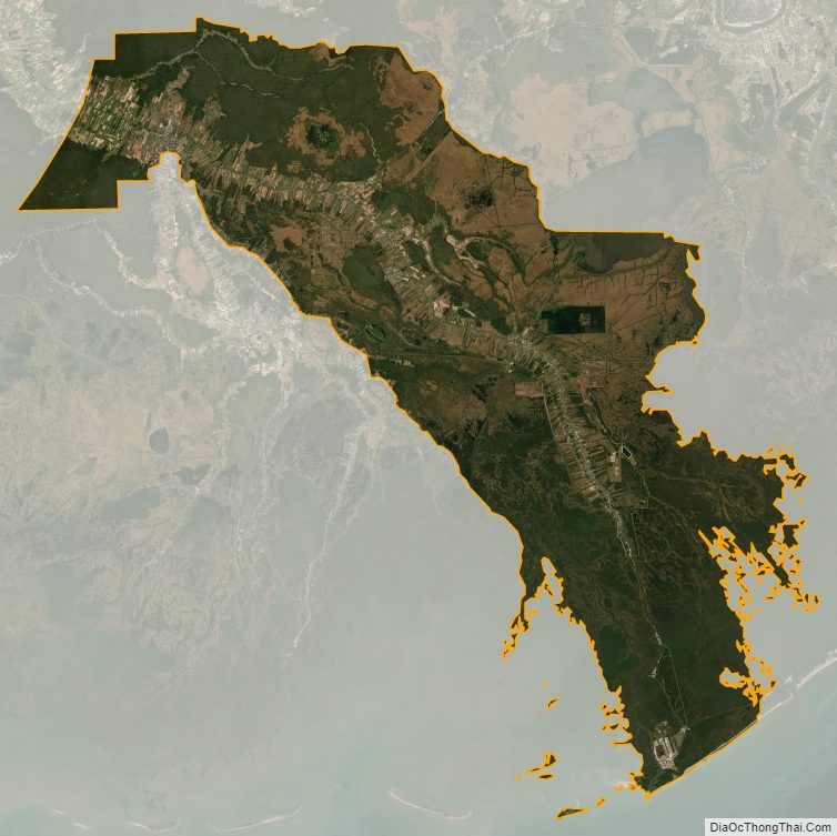
Lafourche Parish Satellite Map
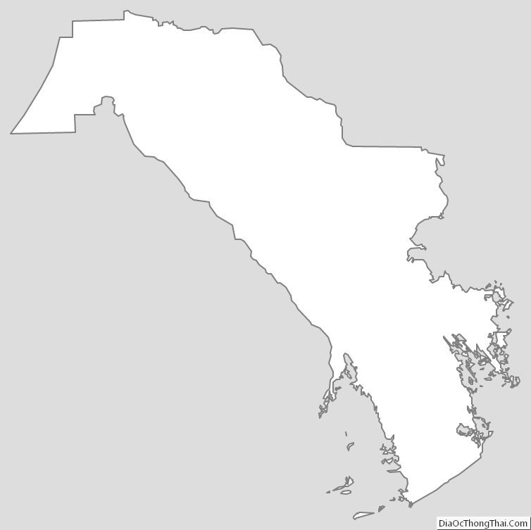
Lafourche Parish Outline Map