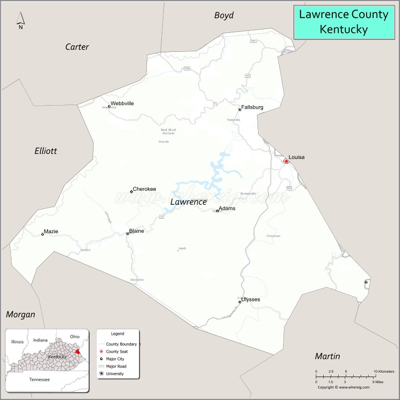
Lawrence County is a county located in the U.S. state of Kentucky. As of the 2020 census, the population was 16,293. Its county seat is Louisa. The county is named for James Lawrence, and co-founded by Isaac Bolt, who served as a Lawrence County Commissioner and Justice of the Peace. Lawrence County is the home of bluegrass music and country music star Tyler Childers. It is the birthplace of the late Chief Justice of the United States Frederick Moore Vinson and former Kentucky Governor Paul E. Patton. In regard to alcoholic beverage sales, Lawrence County is considered a “moist” county, meaning alcohol sales are only allowed within the city limits of Louisa. There are no alcohol sales within the rest of the county. Only two stores sell liquor (to prevent a monopoly), and most convenience stores sell beer and malted beverages.
| Name: | Lawrence County |
|---|---|
| FIPS code: | 21-127 |
| State: | Kentucky |
| Founded: | December 14, 1821 |
| Named for: | James Lawrence |
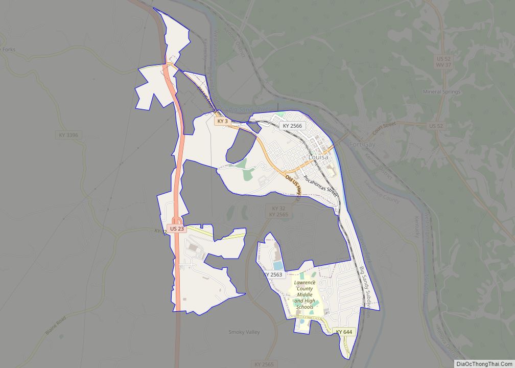
| Seat: | Louisa |
| Largest city: | Louisa |
| Total Area: | 420 sq mi (1,100 km²) |
| Land Area: | 416 sq mi (1,080 km²) |
| Total Population: | 16,293 |
| Population Density: | 39/sq mi (15/km²) |
| Time zone: | UTC−5 (Eastern) |
| Summer Time Zone (DST): | UTC−4 (EDT) |
| Website: | www.lawrencecounty.ky.gov |
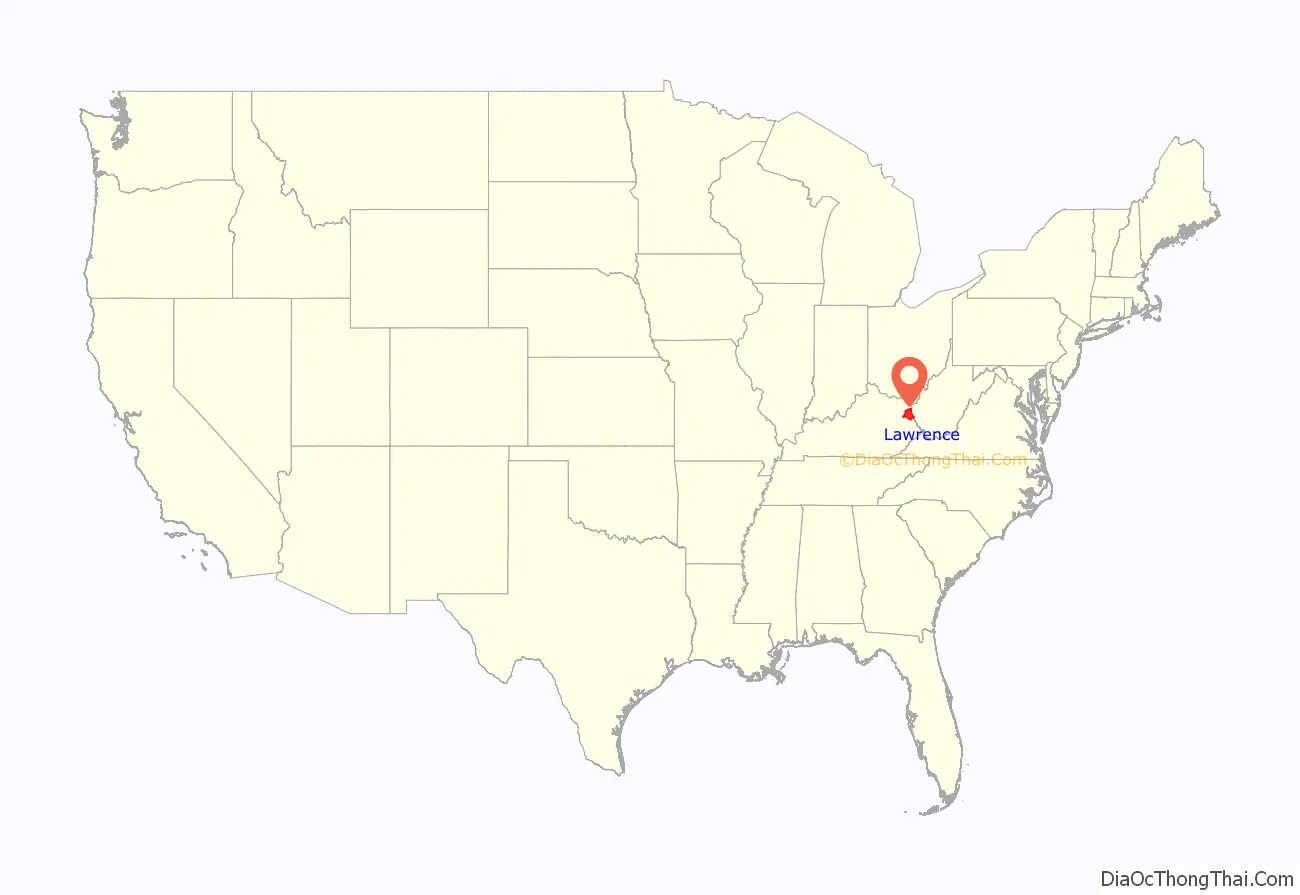
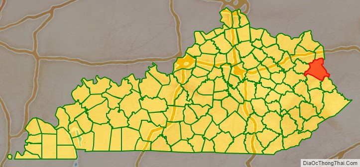
Lawrence County location map. Where is Lawrence County?
History
Lawrence County was established in 1821 from land given by Floyd and Greenup Counties. Four courthouses have served Lawrence County; the first was completed in 1823.
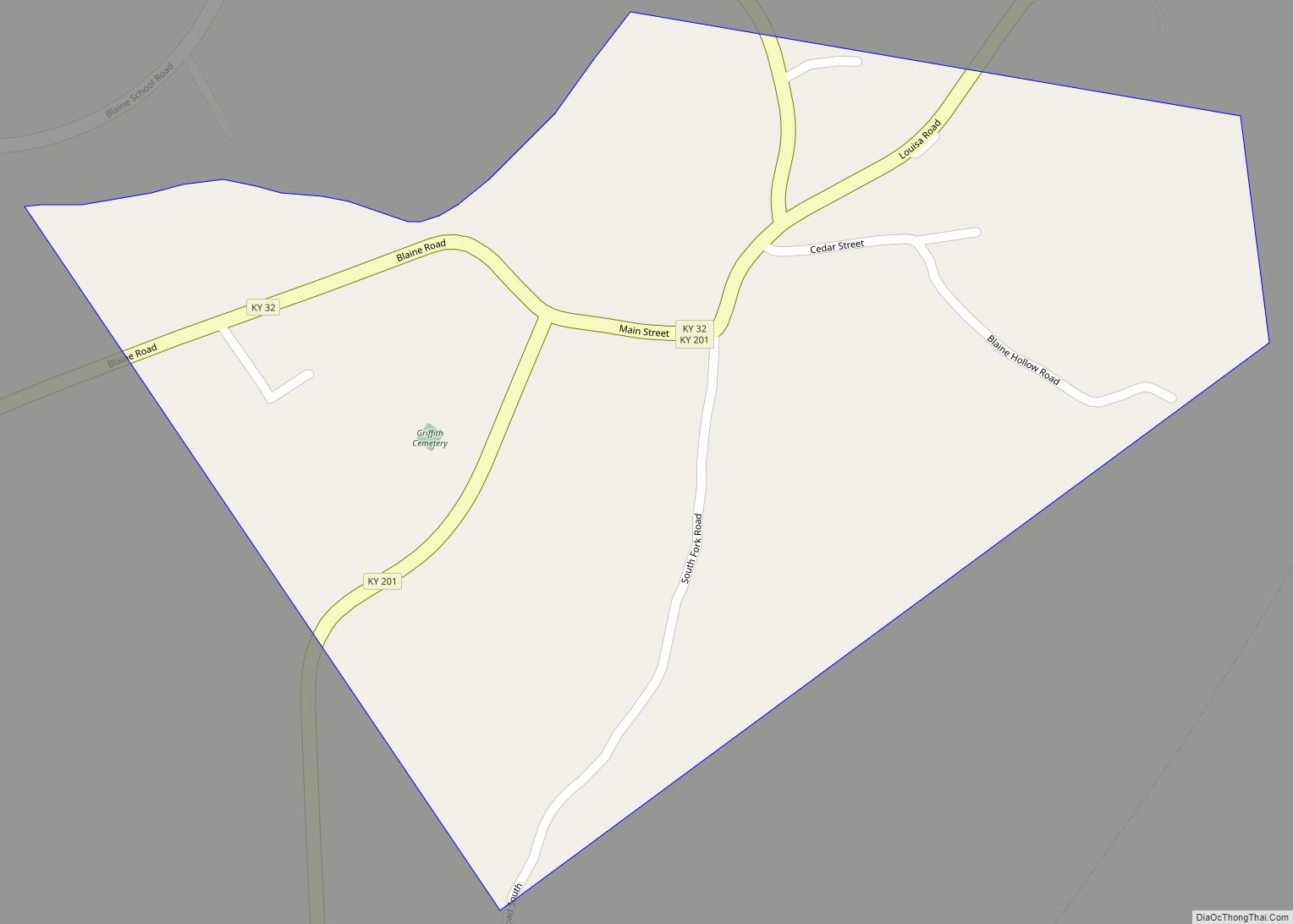
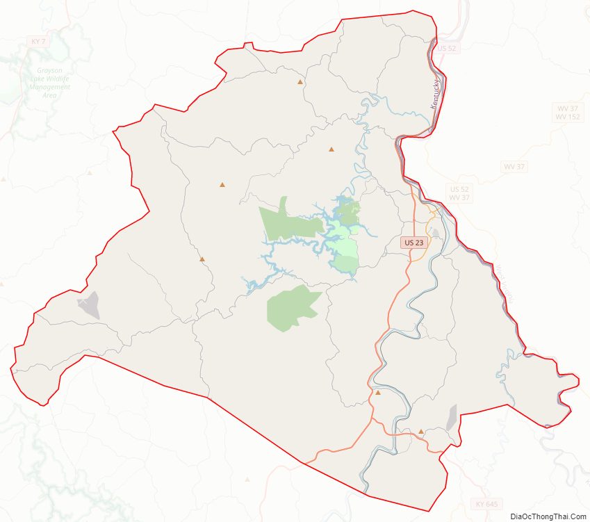
Lawrence County Road Map
Geography
According to the United States Census Bureau, the county has a total area of 420 square miles (1,100 km), of which 416 square miles (1,080 km) is land and 4.5 square miles (12 km) (1.1%) is water.
The bridge from Louisa, in eastern Lawrence County, to Fort Gay, West Virginia is something of a geographic and architectural oddity. The quarter-mile concrete span spans across the Levisa Fork and the Tug River that come together and form the Big Sandy River, connects two states and has a right turn at its halfway point, which connects traffic to the Point Section neighborhood of Louisa.
Yatesville Lake State Park
Yatesville Lake was opened in 1992 and is a 2,300 acres (9.3 km) reservoir managed by the Army Corps of Engineers. Yatesville Lake provides flood control for the region as well as recreational opportunities. The Corps manages a boat ramp at the Rich Creek area.
- Carter County (northwest)
- Boyd County (north)
- Wayne County, West Virginia (east)
- Martin County (southeast)
- Johnson County (south)
- Morgan County (southwest)
- Elliott County (west)
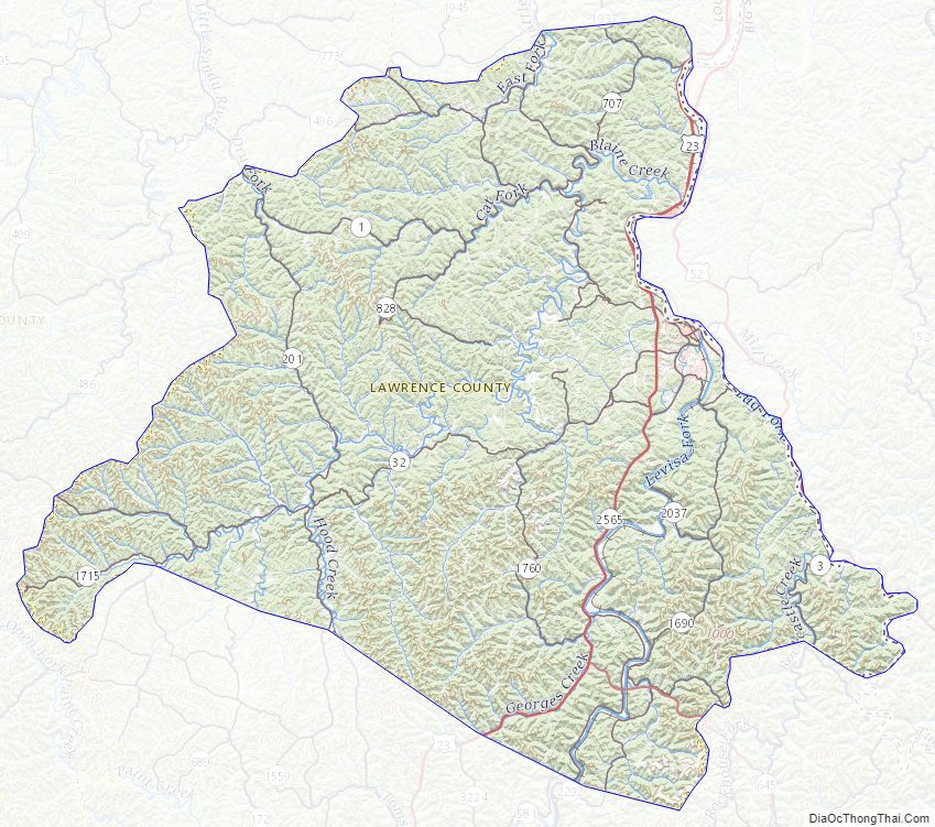
Lawrence County Topographic Map
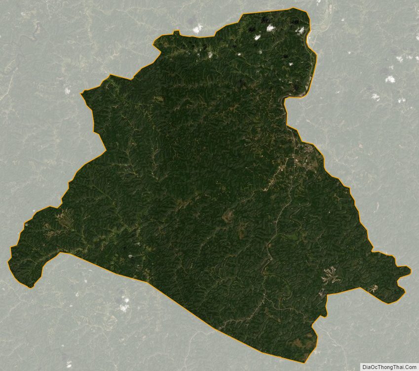
Lawrence County Satellite Map
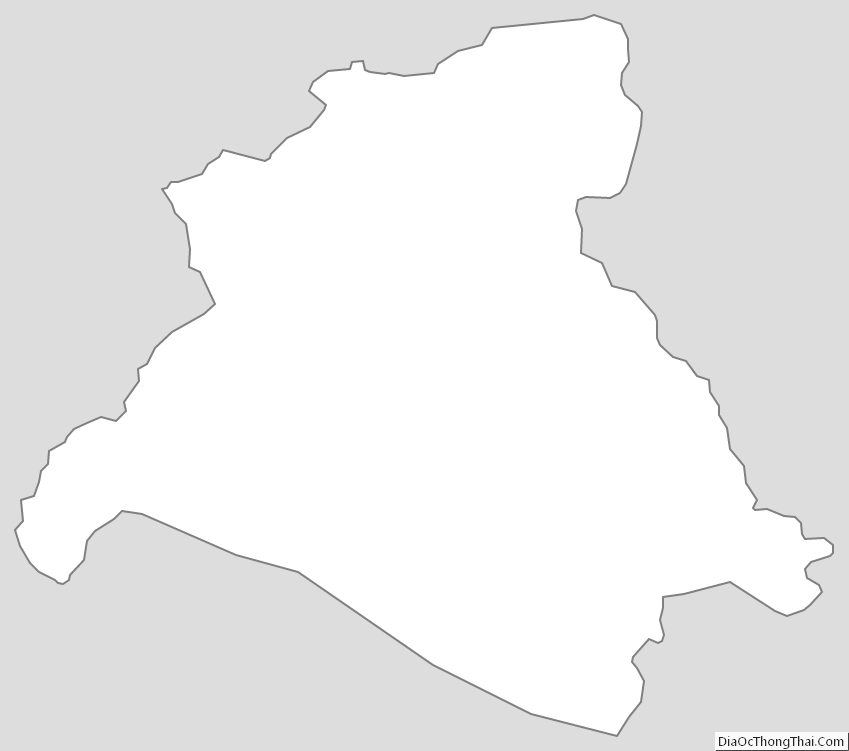
Lawrence County Outline Map