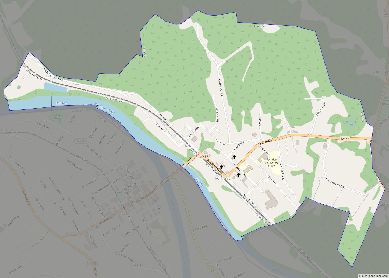
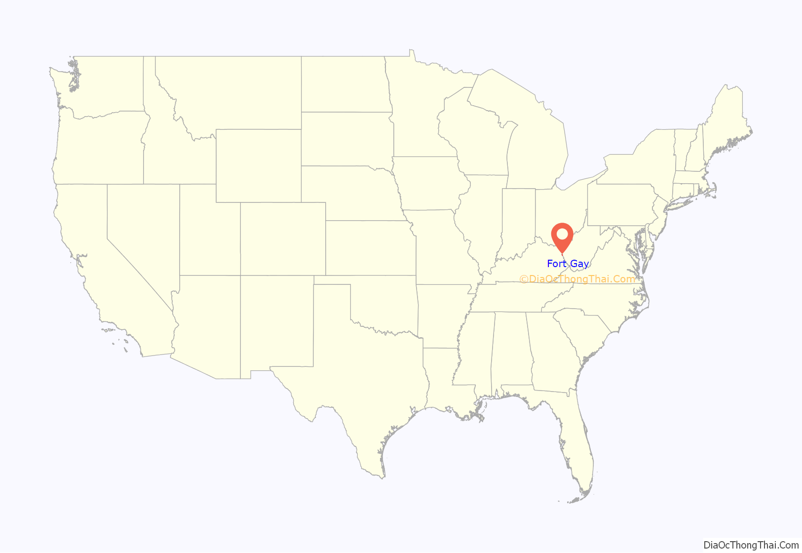
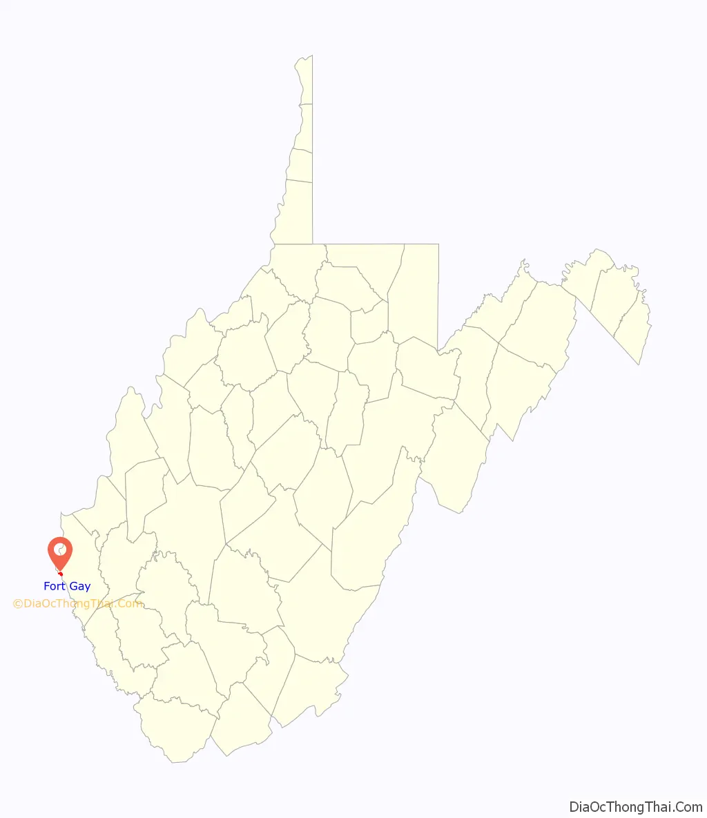
Fort Gay is a town in Wayne County, West Virginia, United States, situated along the Tug Fork and Big Sandy rivers. The town adjoins Louisa, Kentucky. The population was 677 at the 2020 census.
| Name: | Fort Gay town |
|---|---|
| LSAD Code: | 43 |
| LSAD Description: | town (suffix) |
| State: | West Virginia |
| County: | Wayne County |
| Elevation: | 580 ft (177 m) |
| Total Area: | 0.87 sq mi (2.26 km²) |
| Land Area: | 0.82 sq mi (2.14 km²) |
| Water Area: | 0.05 sq mi (0.13 km²) |
| Total Population: | 677 |
| Population Density: | 835.15/sq mi (322.62/km²) |
| ZIP code: | 25514 |
| Area code: | 304 |
| FIPS code: | 5428516 |
| GNISfeature ID: | 1554491 |
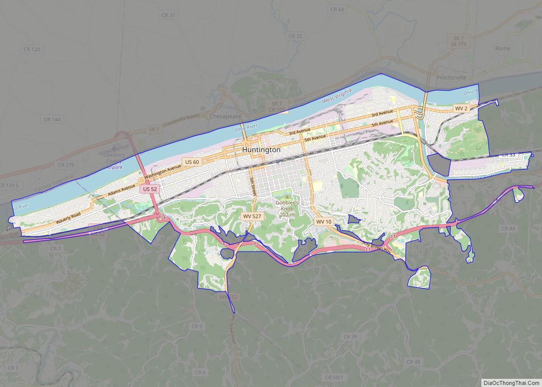
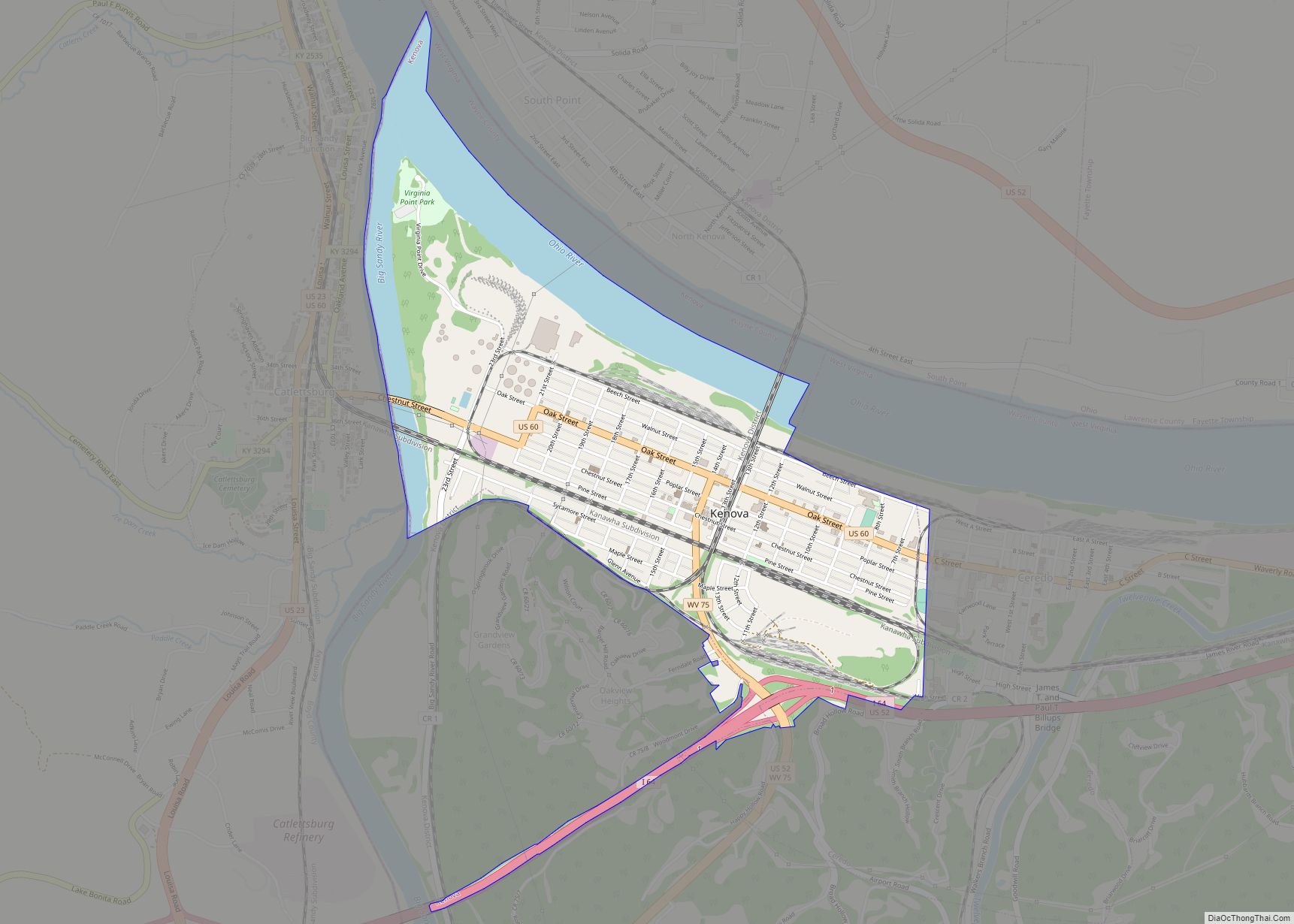
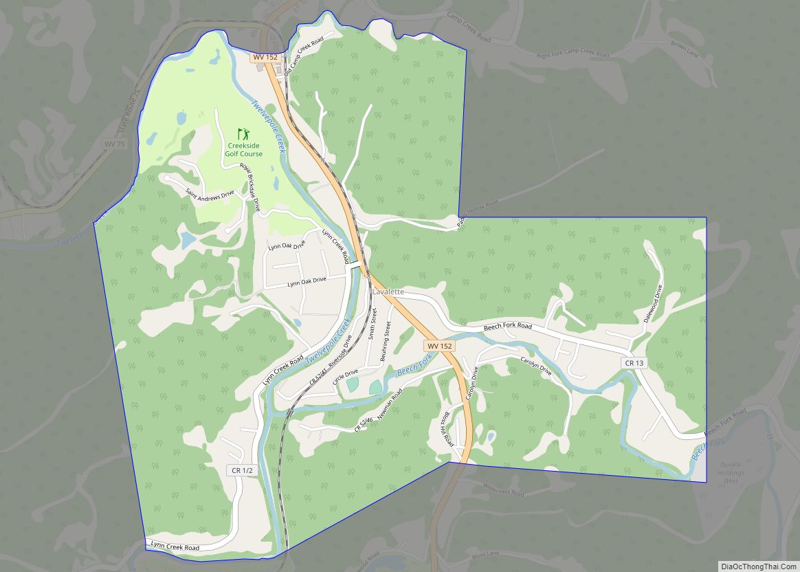
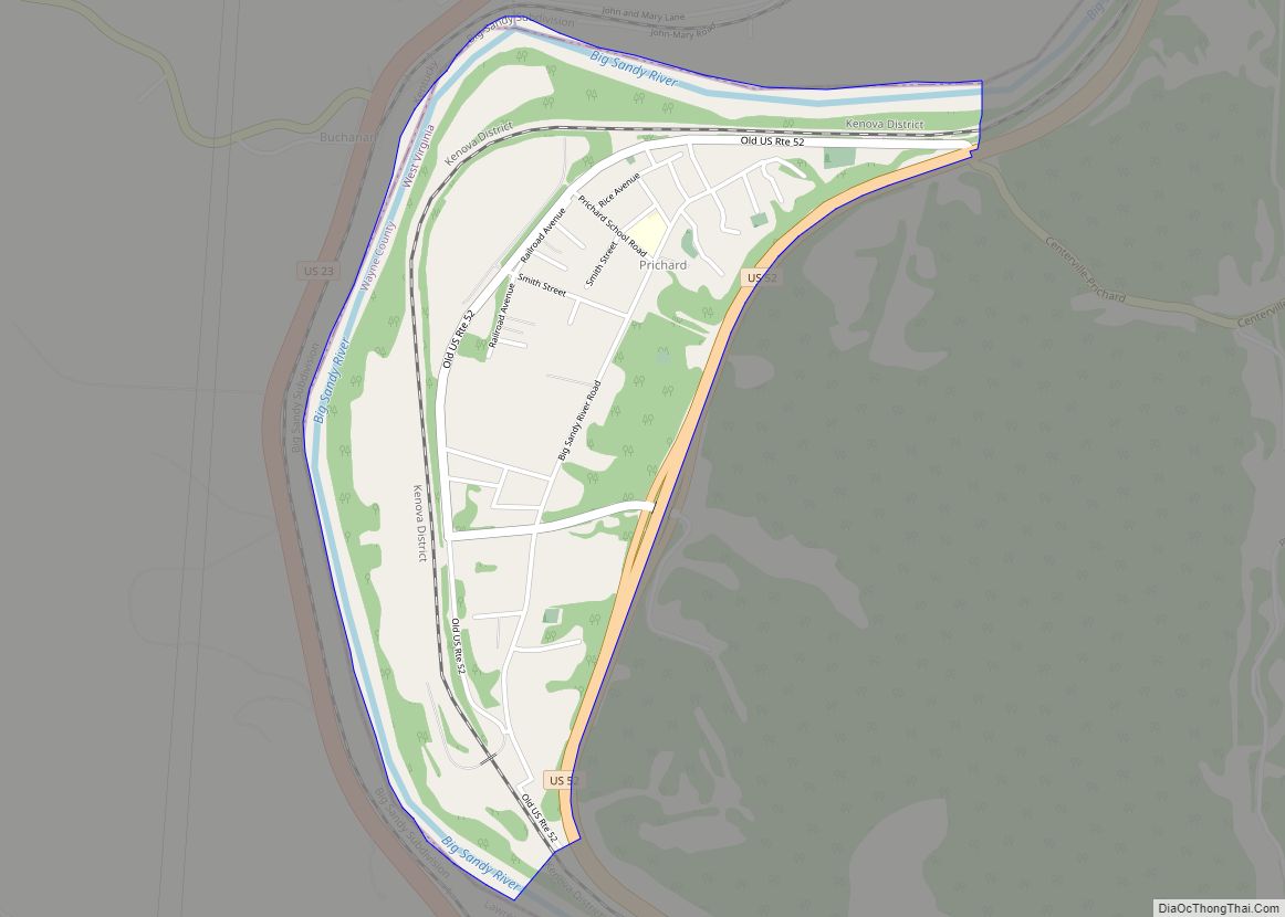
Online Interactive Map
Click on ![]() to view map in "full screen" mode.
to view map in "full screen" mode.
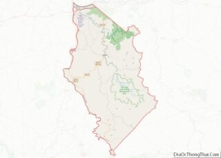
Fort Gay location map. Where is Fort Gay town?
History
The Fort Gay community traces back to 1789, when 11 people established a settlement at the junction of the Tug and Big Sandy rivers, across from what is now Louisa, Kentucky. In 1875, it was chartered as Cassville; though it was simultaneously known as Fort Gay. In 1932, the town’s name was officially changed to Fort Gay. There is no evidence as to why the name was changed, there are several prevalent theories: that either the railroad company or post office did not want two Cassvilles on the same route/state (there is another Cassville, West Virginia), or that a Civil War nurse named Gay became synonymous with the town.
Fort Gay is a part of the Huntington-Ashland, WV-KY-OH, Metropolitan Statistical Area. As of the 2000 census, the MSA had a population of 288,649.
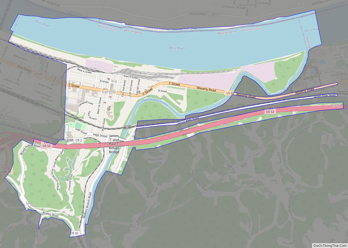
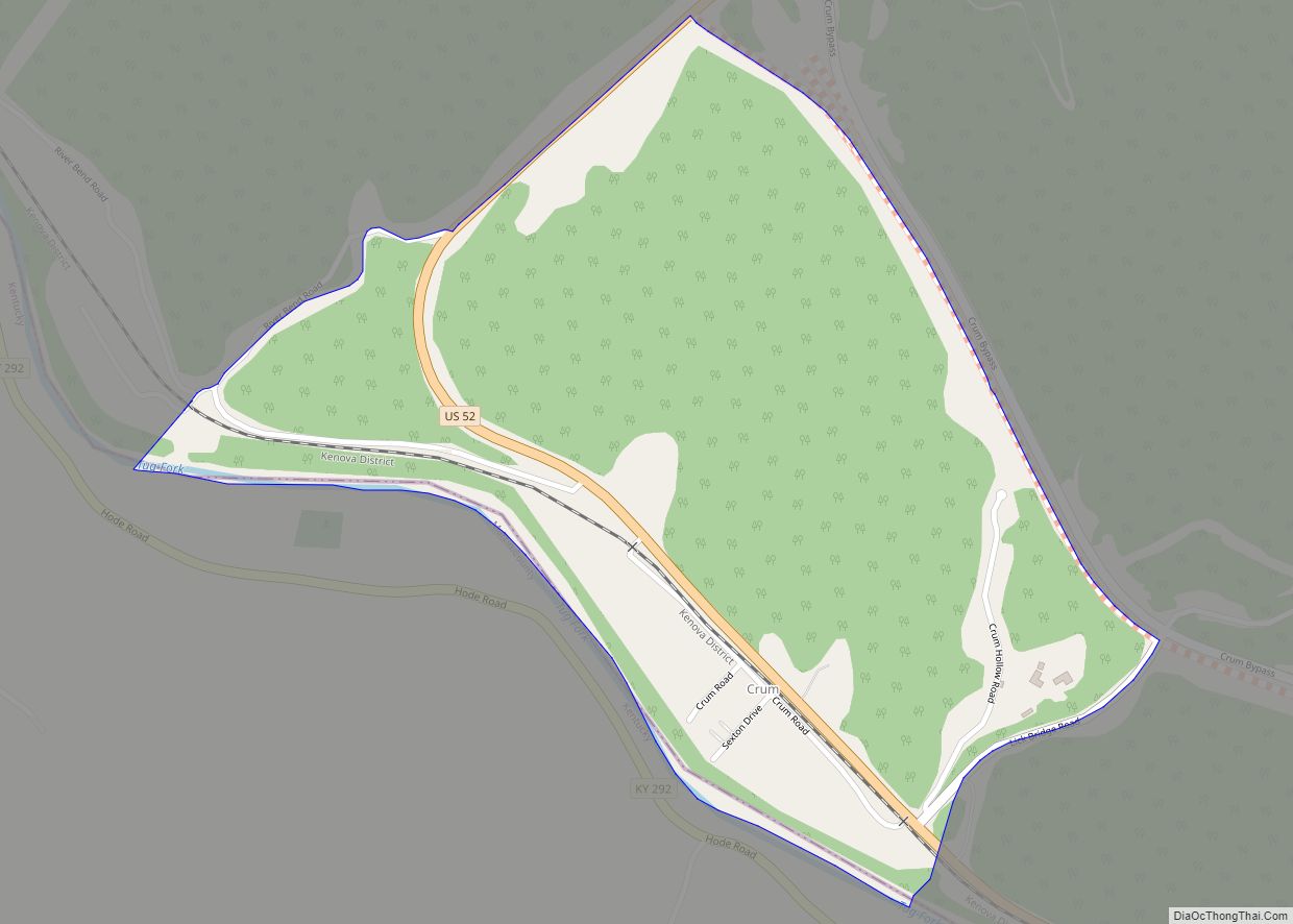
The Norfolk Southern Railway’s Kenova District goes through the western edge of town.
In 2010, Fort Gay hit the news when Microsoft suspended an Xbox Live account that belonged to a Fort Gay resident for writing “fort gay WV” as his location, as Microsoft has language policies that prohibit references to homosexuality. Microsoft customer service representatives refused to acknowledge that Fort Gay existed, and it took an appeal from Mayor David Thompson and media coverage for the issue to be corrected.
Fort Gay Road Map
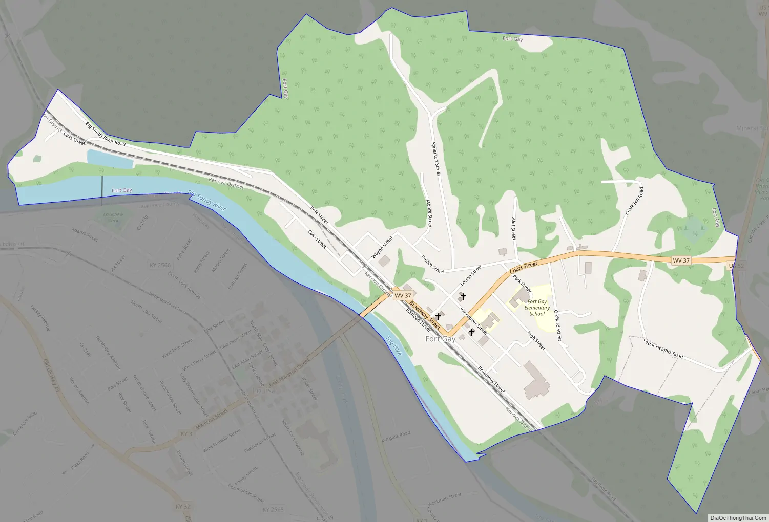
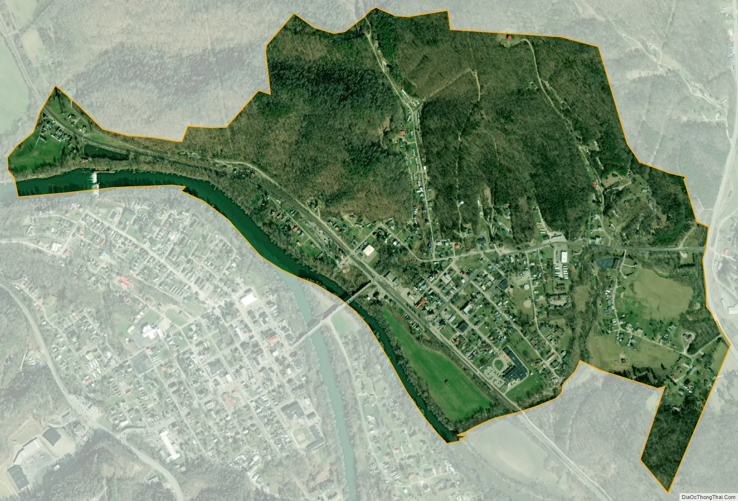
Fort Gay city Satellite Map
Geography
Fort Gay is located at 38°7′3″N 82°35′41″W / 38.11750°N 82.59472°W / 38.11750; -82.59472 (38.117528, -82.594620).
According to the United States Census Bureau, the town has a total area of 0.89 square miles (2.31 km), of which 0.84 square miles (2.18 km) is land and 0.05 square miles (0.13 km) is water.
See also
Map of West Virginia State and its subdivision:- Barbour
- Berkeley
- Boone
- Braxton
- Brooke
- Cabell
- Calhoun
- Clay
- Doddridge
- Fayette
- Gilmer
- Grant
- Greenbrier
- Hampshire
- Hancock
- Hardy
- Harrison
- Jackson
- Jefferson
- Kanawha
- Lewis
- Lincoln
- Logan
- Marion
- Marshall
- Mason
- McDowell
- Mercer
- Mineral
- Mingo
- Monongalia
- Monroe
- Morgan
- Nicholas
- Ohio
- Pendleton
- Pleasants
- Pocahontas
- Preston
- Putnam
- Raleigh
- Randolph
- Ritchie
- Roane
- Summers
- Taylor
- Tucker
- Tyler
- Upshur
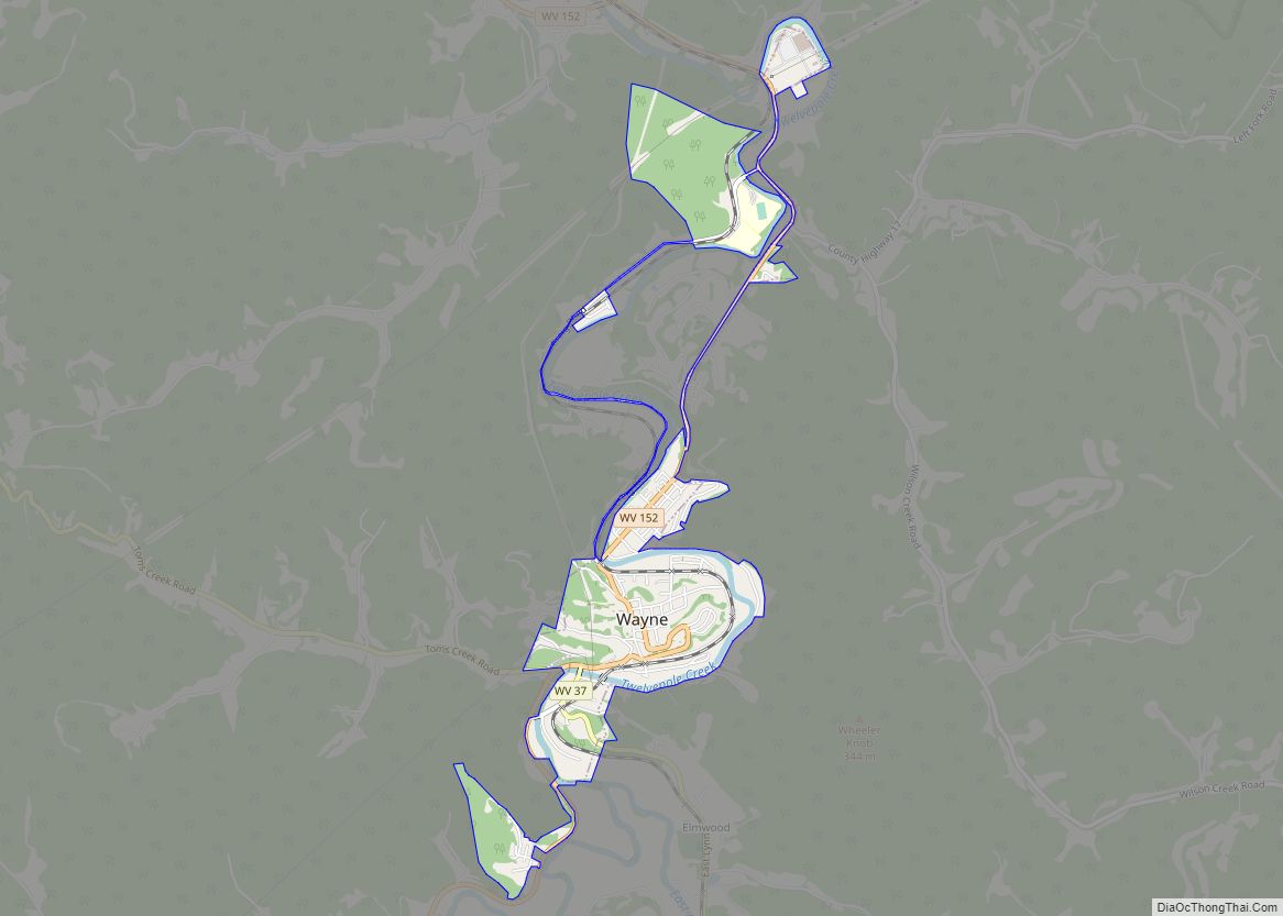
- Wayne
- Webster
- Wetzel
- Wirt
- Wood
- Wyoming
- Alabama
- Alaska
- Arizona
- Arkansas
- California
- Colorado
- Connecticut
- Delaware
- District of Columbia
- Florida
- Georgia
- Hawaii
- Idaho
- Illinois
- Indiana
- Iowa
- Kansas
- Kentucky
- Louisiana
- Maine
- Maryland
- Massachusetts
- Michigan
- Minnesota
- Mississippi
- Missouri
- Montana
- Nebraska
- Nevada
- New Hampshire
- New Jersey
- New Mexico
- New York
- North Carolina
- North Dakota
- Ohio
- Oklahoma
- Oregon
- Pennsylvania
- Rhode Island
- South Carolina
- South Dakota
- Tennessee
- Texas
- Utah
- Vermont
- Virginia
- Washington
- West Virginia
- Wisconsin
- Wyoming