| Name: | Lee County |
|---|---|
| FIPS code: | 19-111 |
| State: | Iowa |
| Founded: | 1836 |
| Seat: | Fort Madison and Keokuk |
| Largest city: | Fort Madison |
| Total Area: | 539 sq mi (1,400 km²) |
| Land Area: | 518 sq mi (1,340 km²) |
| Total Population: | 33,555 |
| Population Density: | 62/sq mi (24/km²) |
| Time zone: | UTC−6 (Central) |
| Summer Time Zone (DST): | UTC−5 (CDT) |
| Website: | www.leecounty.org |
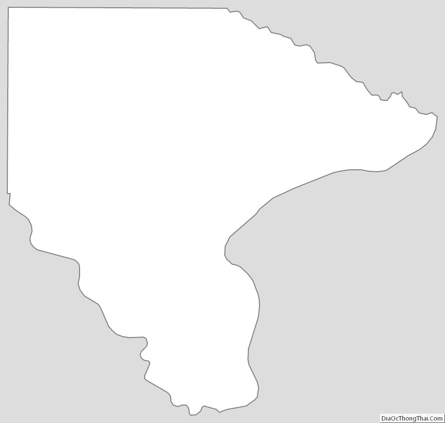
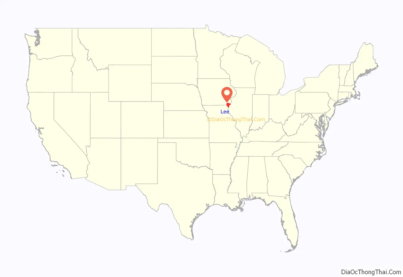
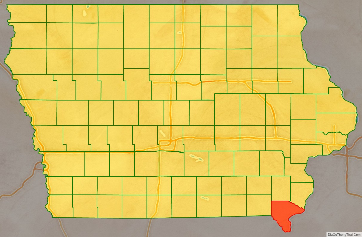
Lee County location map. Where is Lee County?
History
Fort Madison dates to the War of 1812. Lee County was the location of the Half-Breed Tract, established by treaty in 1824. Allocations of land were made to American Indian descendants of European fathers and Indian mothers at this tract. Originally the land was to be held in common. Some who had an allocation lived in cities, where they hoped to make better livings. Lee County as a named entity was formed on December 7, 1836, under the jurisdiction of Wisconsin Territory. It would become a part of Iowa Territory when it was formed on July 4, 1838. Large-scale European-American settlement in the area began in 1839, after Congress allowed owners to sell land individually. Members of the Church of Jesus Christ of Latter-day Saints (LDS Church) under the direction of Brigham Young fled persecutions in Missouri to settle in Illinois and Iowa. Nauvoo, across the border in Hancock County, Illinois, became the main center of Latter-day Saints settlement, but there was also a Latter Day Saints stake organized in Lee County under the direction of John Smith, the uncle of Joseph Smith, land that was sold to them by Isaac Galland in 1839.
Lee has two county seats — Fort Madison and Keokuk. The latter was established in 1847 when disagreements led to a second court jurisdiction. Lee County’s population grew to about 19,000 in 1850, the first US census, to 37,000 per the 3rd census in 1870, peaking at 44,000 people in 1960. It has continuously decreased since and as of 2020, 33,555 people lived there, comparable to the years between 1860 and 1870.
Name
There is no consensus about the derivation of the name “Lee.” It has been variously proposed that the county was named for Marsh, Delevan & Lee, of Albany, New York, and the ‘New York Land Company’, who owned extensive interests in the Half-Breed Tract in the 1830s; Robert E. Lee, who surveyed the Des Moines Rapids; or Albert Lea, who helped explore the interior of Iowa.
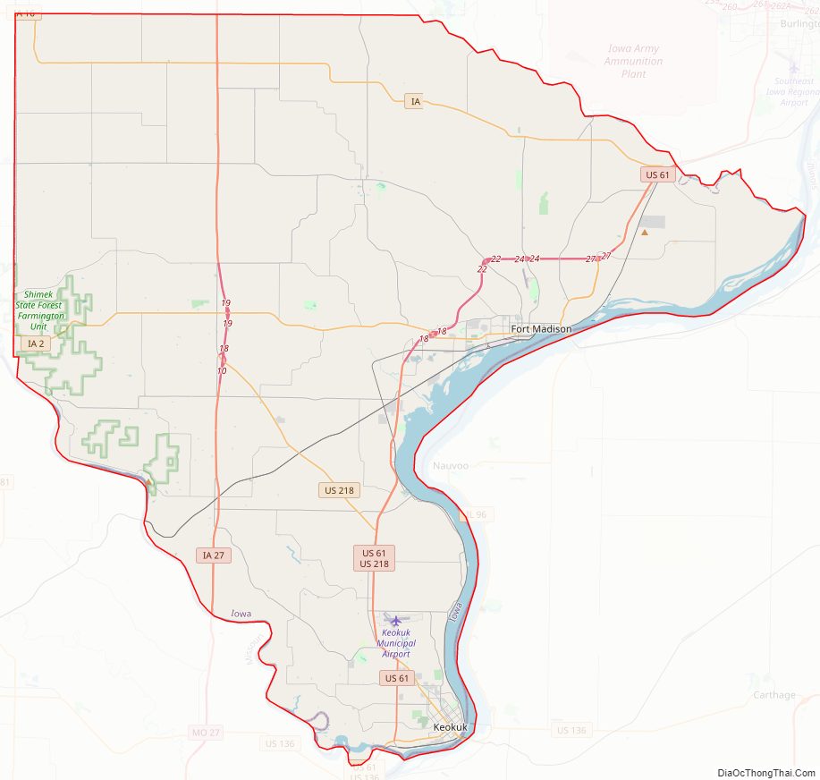
Lee County Road Map
Geography
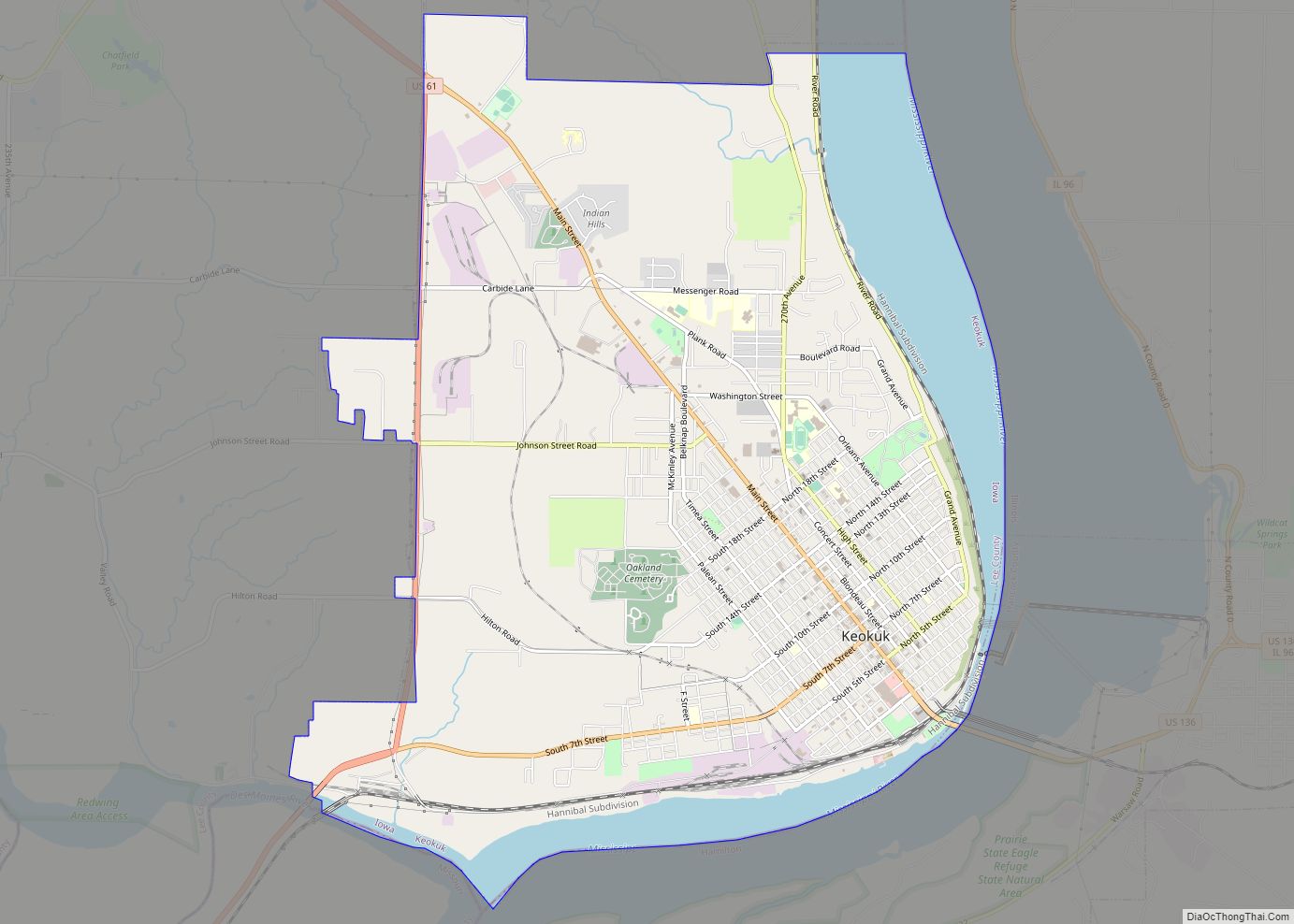
According to the U.S. Census Bureau, the county has a total area of 539 square miles (1,400 km), of which 518 square miles (1,340 km) is land and 21 square miles (54 km) (4.0%) is water. The lowest point in the state of Iowa is located on the Mississippi River in Keokuk in Lee County, where it flows out of Iowa and into Missouri and Illinois.
Major highways
- U.S. Highway 61
- U.S. Highway 136
- U.S. Highway 218
- Iowa Highway 2
- Iowa Highway 16
- Iowa Highway 27
Transit
- Fort Madison station
- List of intercity bus stops in Iowa
Adjacent counties
- Henry County (north)
- Des Moines County (northeast)
- Henderson County, Illinois (across the river east)
- Hancock County, Illinois (southeast)
- Clark County, Missouri (southwest)
- Van Buren County (west)
Lee County Topographic Map
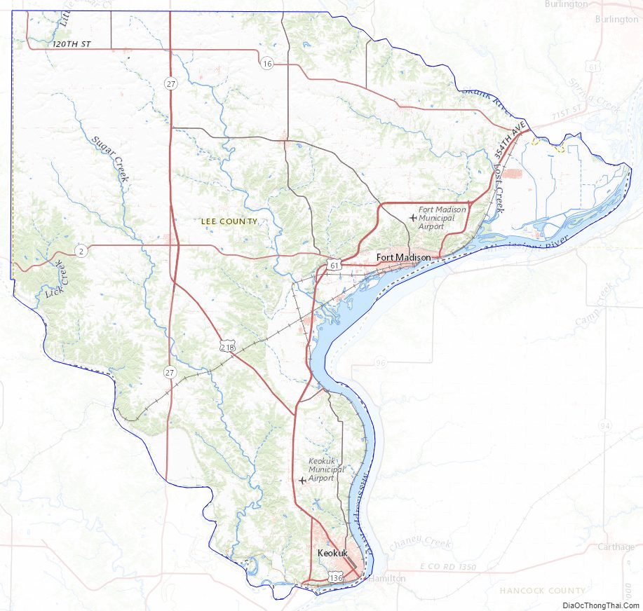
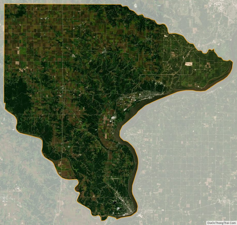
Lee County Satellite Map
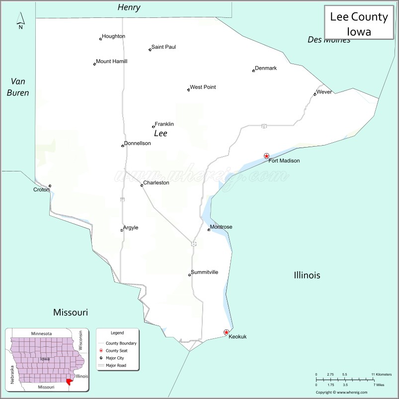
Lee County Outline Map