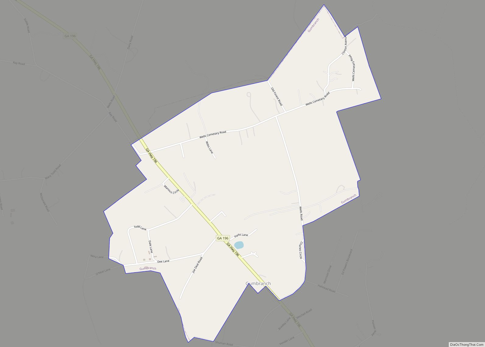
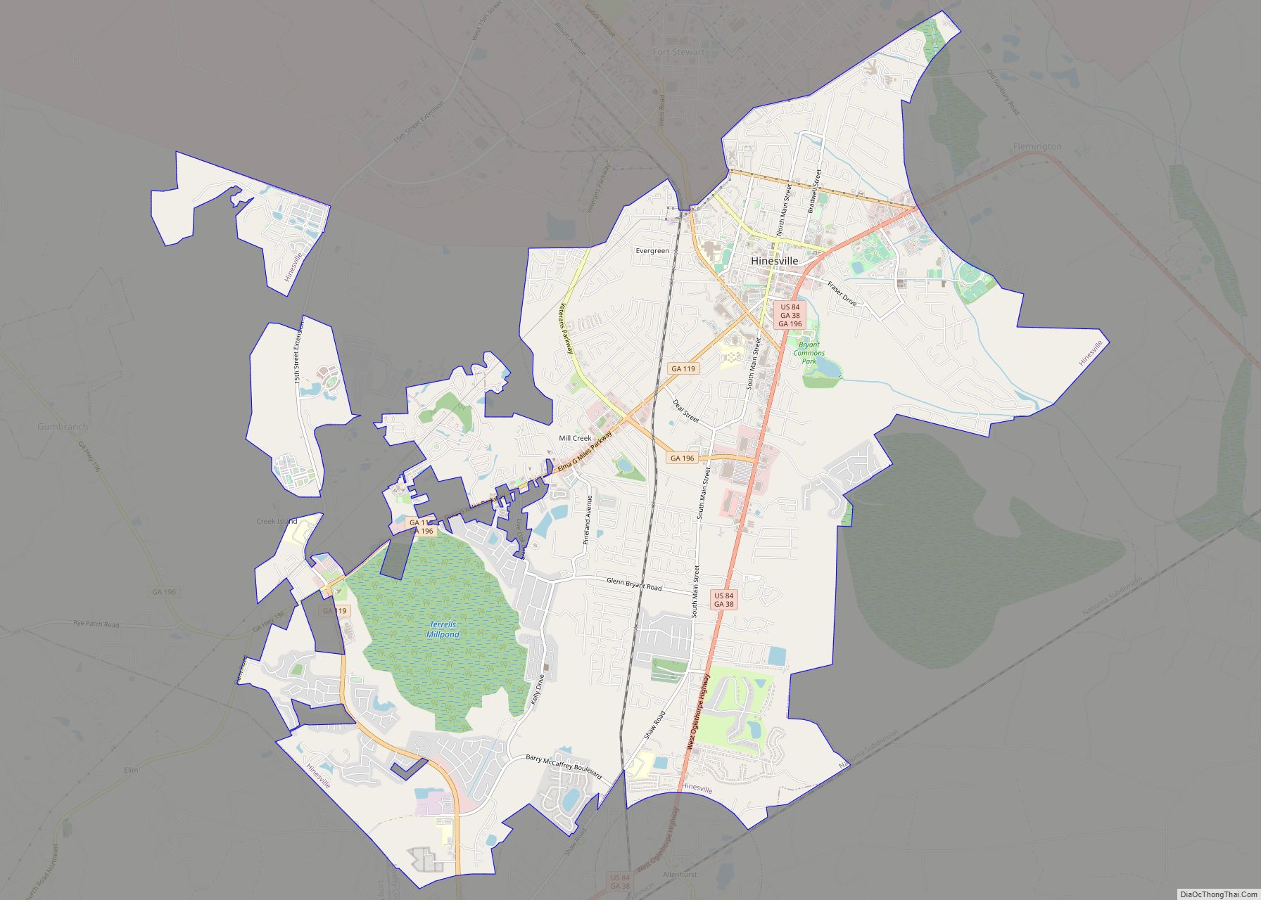
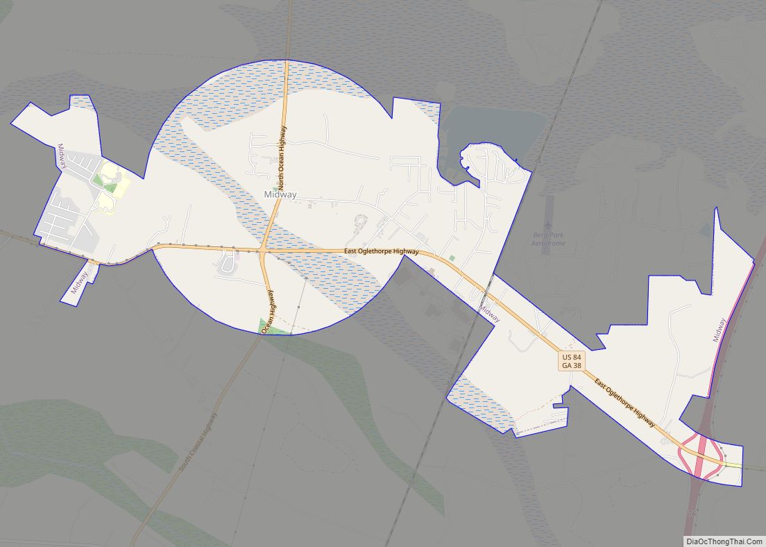
Liberty County is a county in the U.S. state of Georgia. As of the 2020 census, the population is 65,256. The county seat is Hinesville.
Liberty County is part of the Hinesville, Georgia Metropolitan Statistical Area, which is also included in the Savannah-Hinesville-Statesboro, Georgia Combined Statistical Area.
| Name: | Liberty County |
|---|---|
| FIPS code: | 13-179 |
| State: | Georgia |
| Founded: | 1777 |
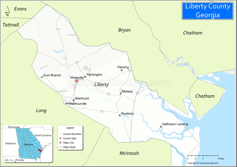
| Seat: | Hinesville |
| Largest city: | Hinesville |
| Total Area: | 603 sq mi (1,560 km²) |
| Land Area: | 490 sq mi (1,300 km²) |
| Total Population: | 65,256 |
| Population Density: | 133/sq mi (51/km²) |
| Time zone: | UTC−5 (Eastern) |
| Summer Time Zone (DST): | UTC−4 (EDT) |
| Website: | www.libertycountyga.com |
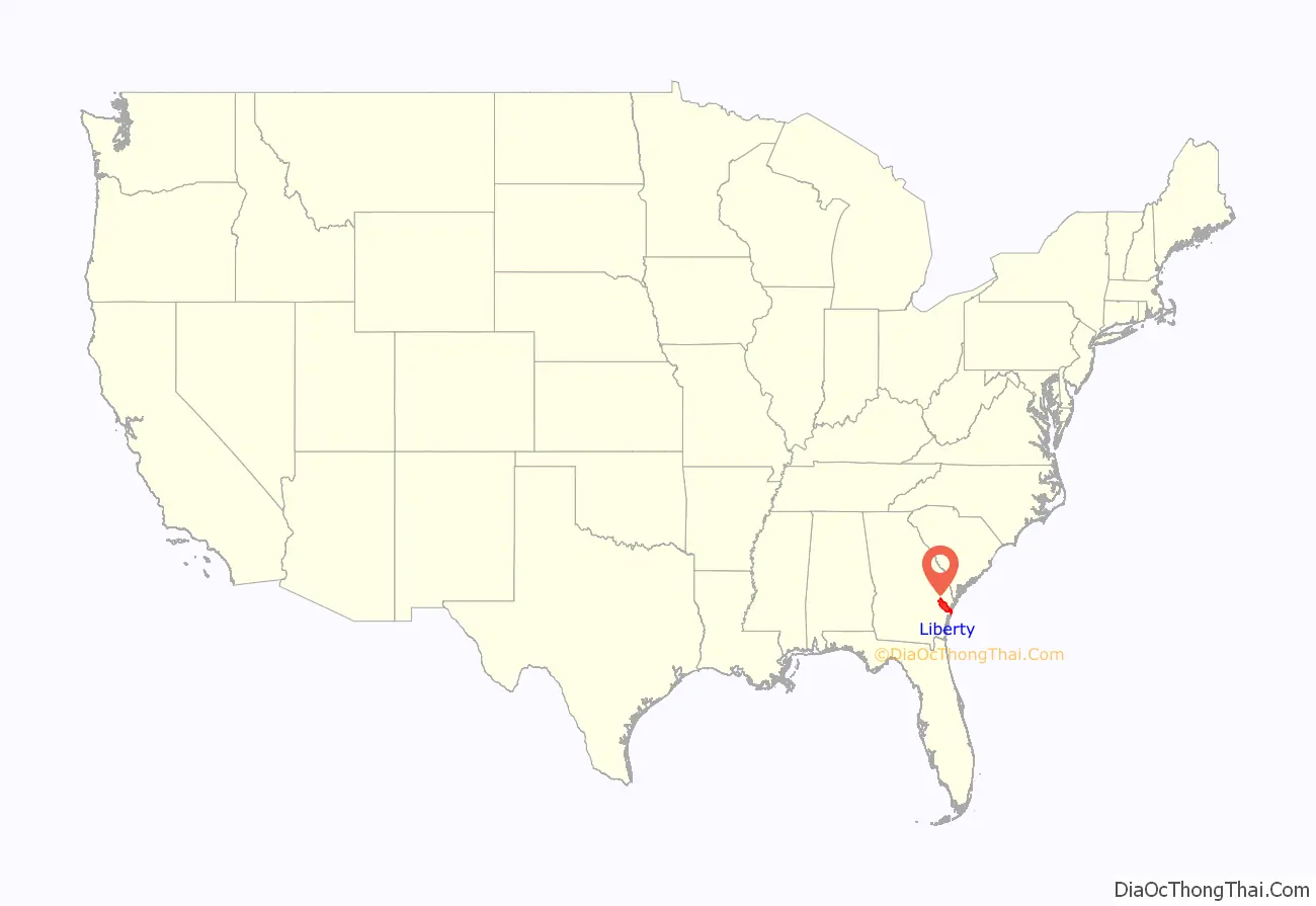
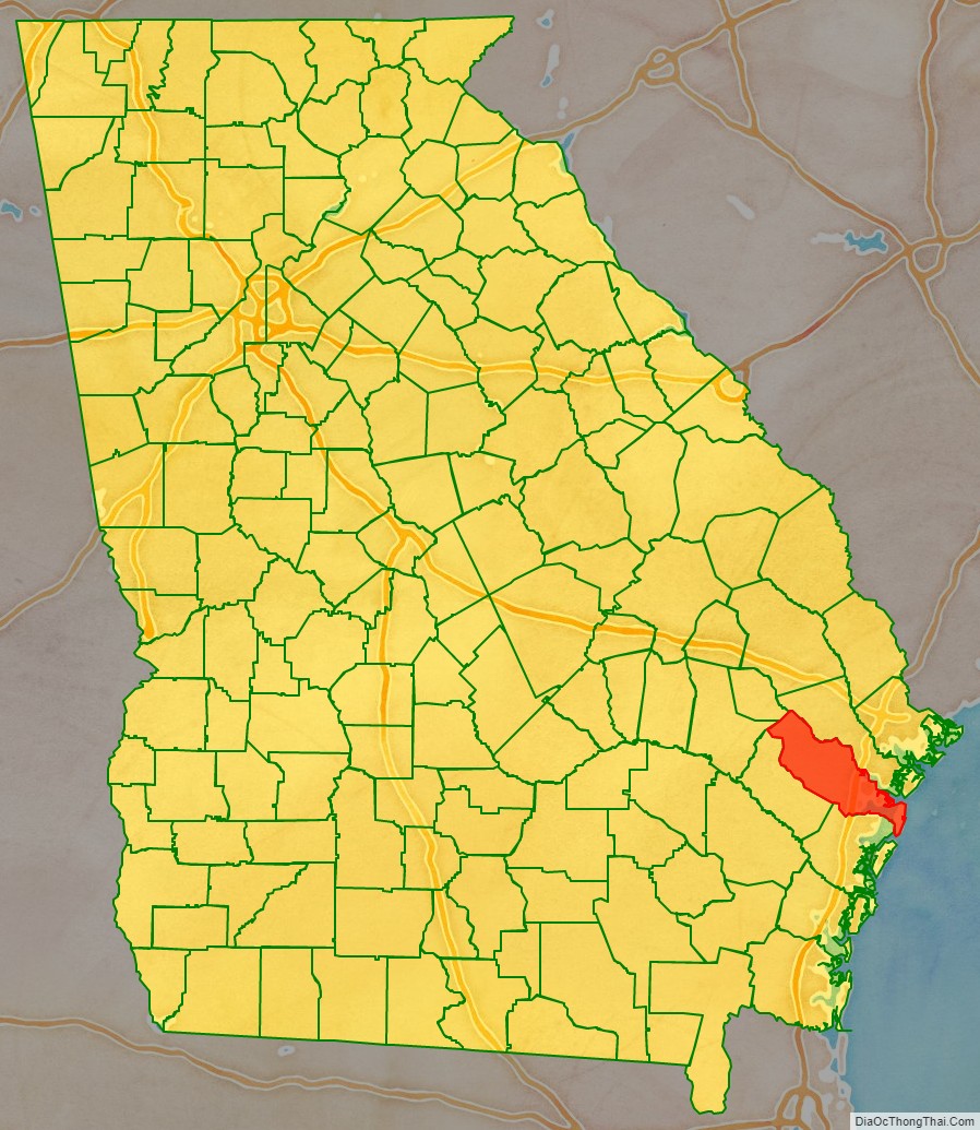
Liberty County location map. Where is Liberty County?
History
Liberty County was established in 1777. It is named for the American ideal of liberty. Sunbury was first designated the county seat in 1784. In 1797, the seat was transferred to Riceboro, and in 1837 it was transferred again to Hinesville.
1922 lynching
On July 1, 1922, James Harvey and Joe Jordan, two African American men, were lynched by a mob of about 50 people in Liberty County during an escort by police from Jesup, Georgia to a jail in Savannah, Georgia. The event drew condemnation from both the local black community and from several prominent white citizens, with the preacher at Midway Methodist Church denouncing the acts and publishing a widely circulated letter condemning the Wayne County officials of being complicit in the murders. The incident prompted an investigation by the NAACP, and in total, 22 men were indicted, with four being convicted.
Liberty County Road Map
Geography
According to the U.S. Census Bureau, the county has a total area of 603 square miles (1,560 km), of which 490 square miles (1,300 km) is land and 113 square miles (290 km) (18.7%) is water.
The eastern and southern portion of Liberty County is located in the Ogeechee Coastal sub-basin of the Ogeechee River basin. The northern and western portion of the county is located in the Canoochee River sub-basin of the Ogeechee River basin.
Major highways
- Interstate 95
- U.S. Route 17
- U.S. Route 84
- State Route 25
- State Route 38
- State Route 38 Connector
- State Route 119
- State Route 144
- State Route 196
- State Route 405 (unsigned designation for I-95)
Adjacent counties
- Chatham County – northeast
- Bryan County – north
- McIntosh County – south
- Long County – west
- Evans County – northwest
- Tattnall County – northwest
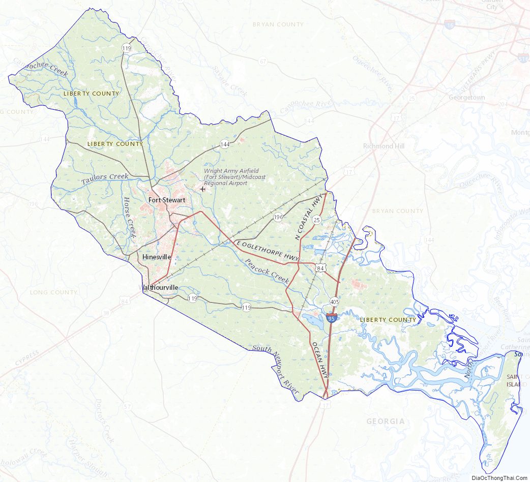
Liberty County Topographic Map
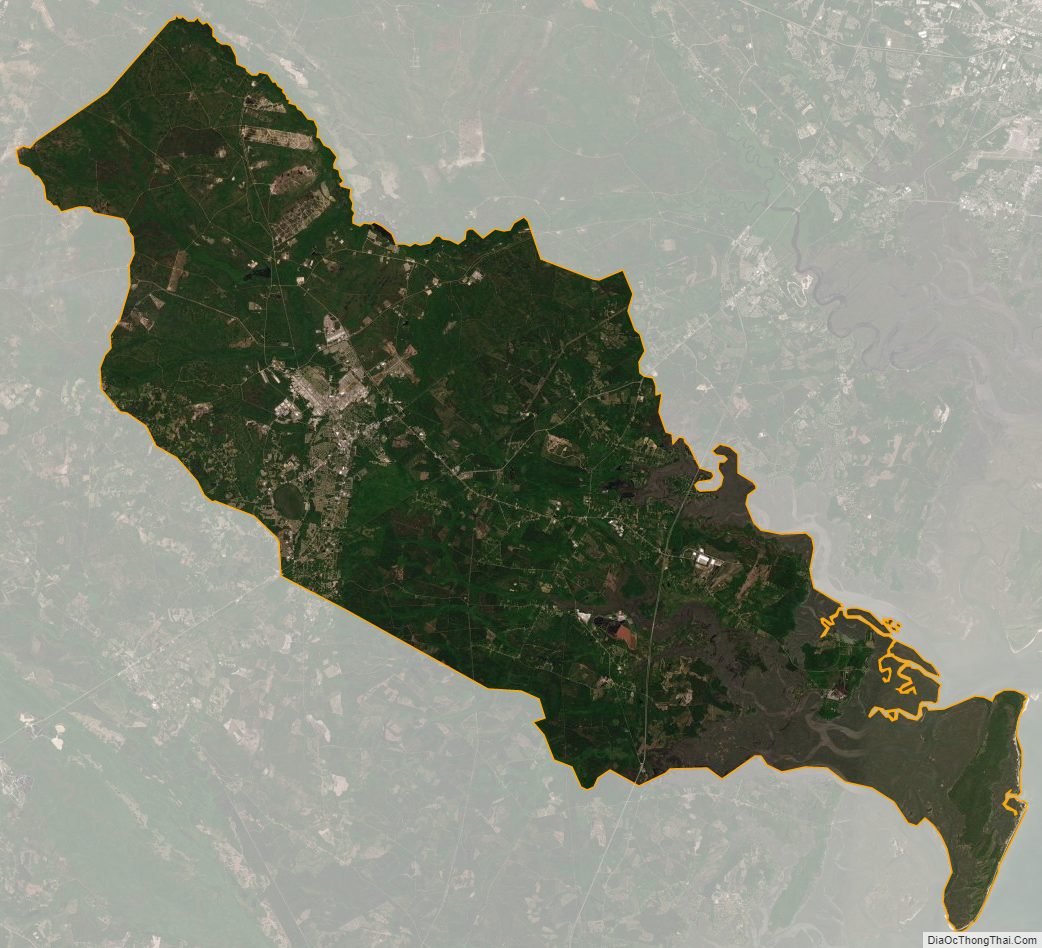
Liberty County Satellite Map
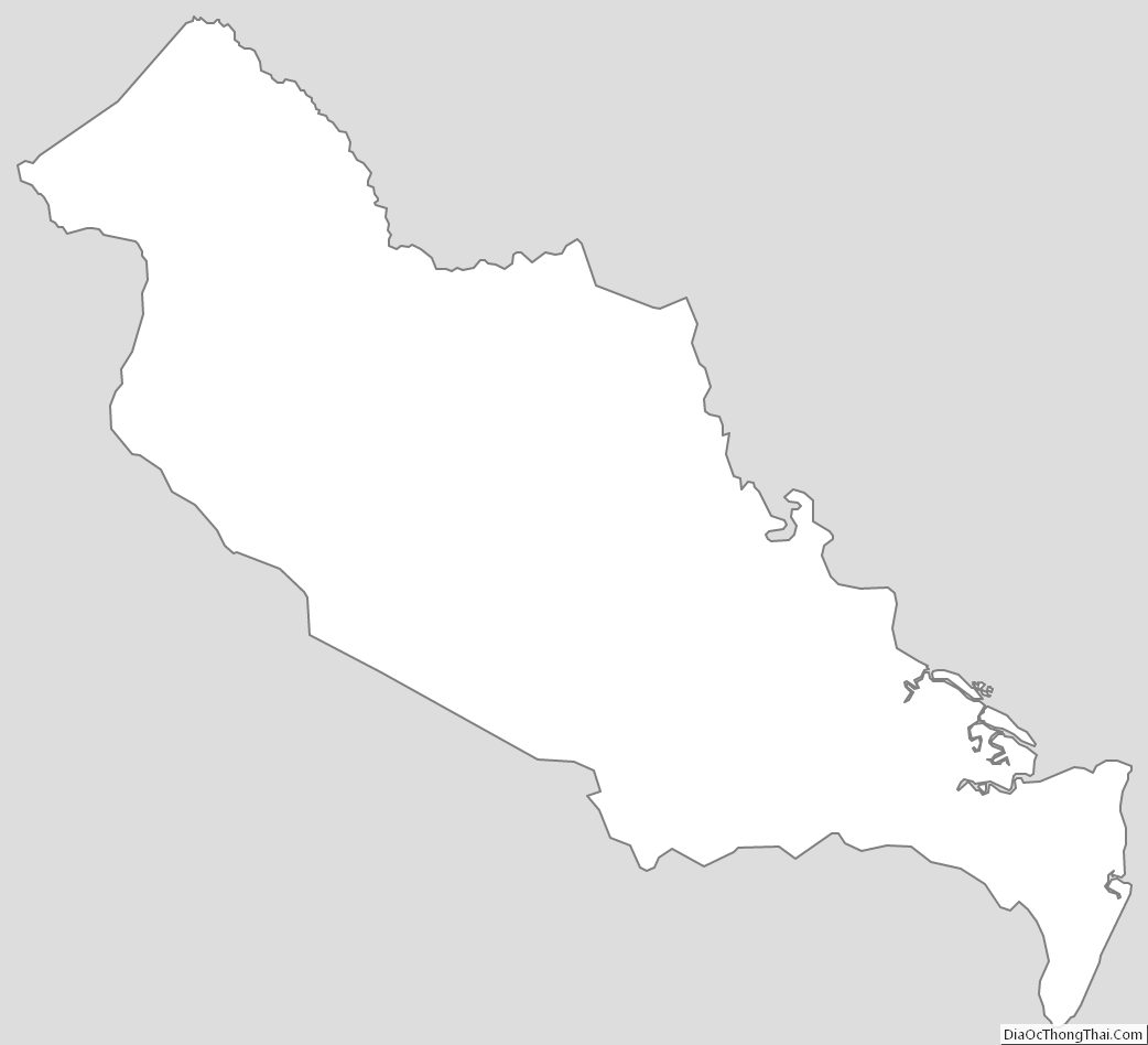
Liberty County Outline Map