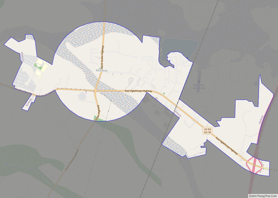
Midway is a city in Liberty County, Georgia, United States. It is a part of the Hinesville-Fort Stewart metropolitan statistical area. The population was 2,121 as of the 2010 census, up from 1,100 at the 2000 census.
Midway has several museums, including the Midway Museum and Cemetery and the Dorchester Academy Museum. The Midway Historic District is listed on the National Register of Historic Places.
| Name: | Midway city |
|---|---|
| LSAD Code: | 25 |
| LSAD Description: | city (suffix) |
| State: | Georgia |
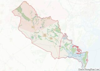
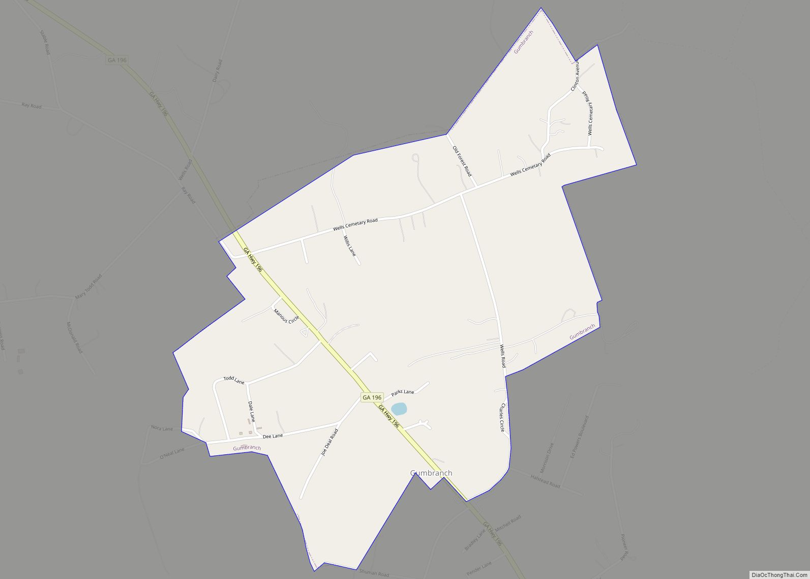
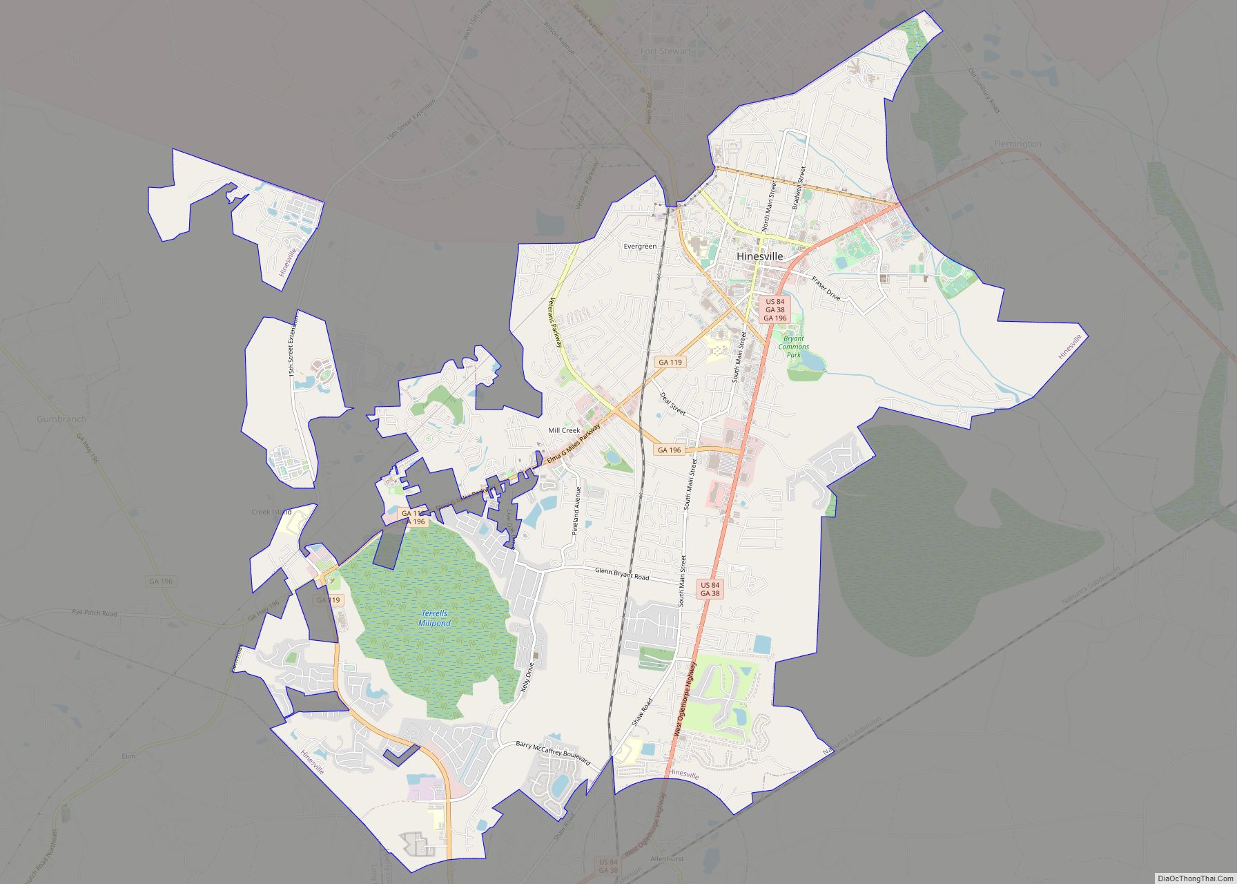
| County: | Liberty County |
| Incorporated: | 1925 |
| Elevation: | 10 ft (3 m) |
| Total Area: | 6.44 sq mi (16.68 km²) |
| Land Area: | 6.44 sq mi (16.67 km²) |
| Water Area: | 0.00 sq mi (0.01 km²) |
| Total Population: | 2,141 |
| Population Density: | 332.61/sq mi (128.42/km²) |
| ZIP code: | 31320 |
| Area code: | 912 |
| FIPS code: | 1351352 |
| GNISfeature ID: | 0356389 |
| Website: | historicmidway.com |
Online Interactive Map
Click on ![]() to view map in "full screen" mode.
to view map in "full screen" mode.
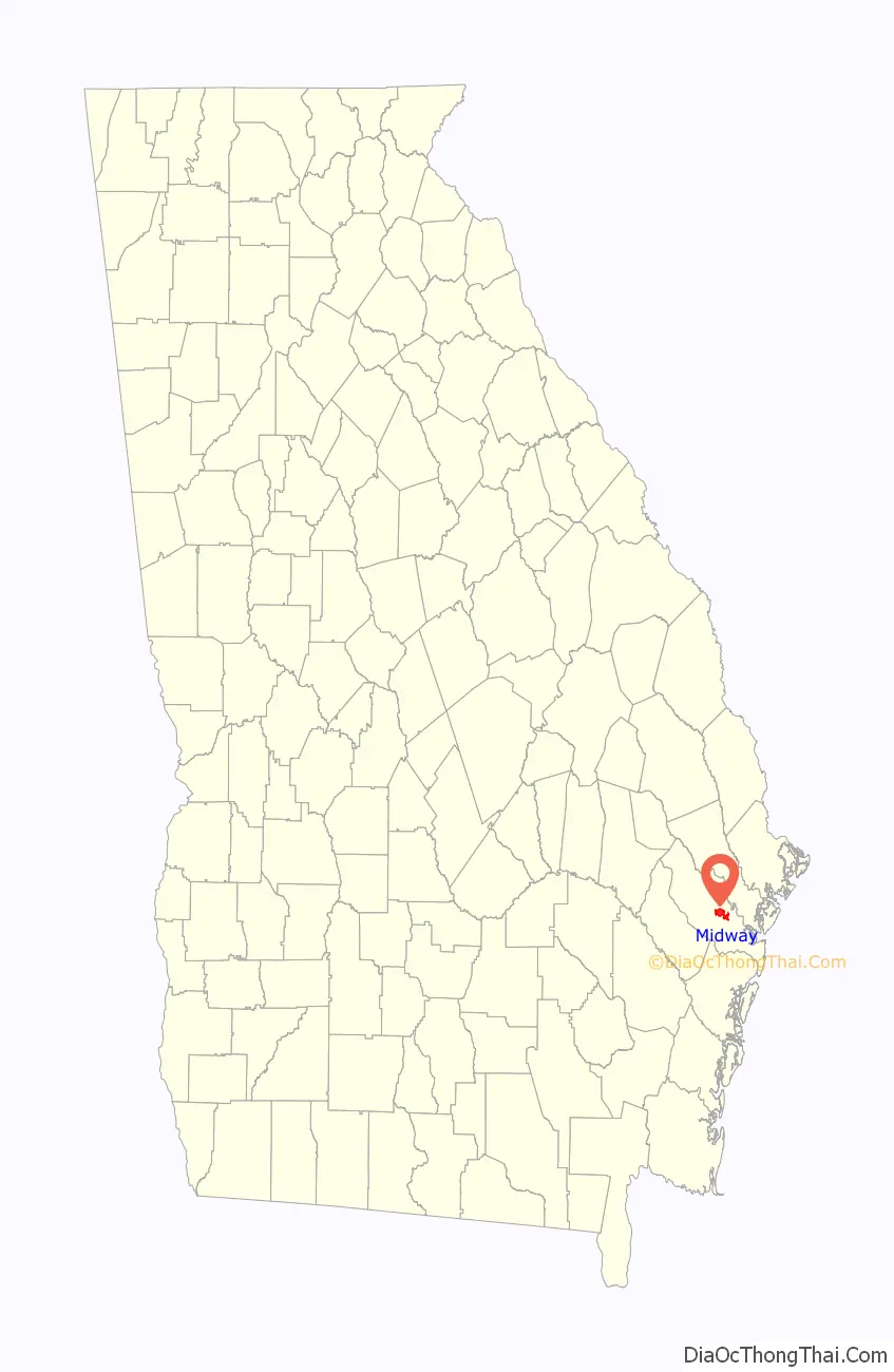
Midway location map. Where is Midway city?

History
Midway’s history dates back to the 18th century. Puritans migrated to St. John’s Parish, Georgia, from Dorchester, South Carolina, in 1752 and established several settlements, including what became the Midway community. The Council of Georgia granted them 31,950 acres (129.3 km), as colonial officials wanted a large number of settlers in the area to help protect them from the Creek Indians. The original Midway settlers were primarily rice planters and developed a strong agricultural economy, aided by the 1,500 slaves they brought from South Carolina.
The city of Midway was incorporated in 1925.
In 1973, the Midway Historic District, encompassing the Midway Congregational Church and Cemetery, the Midway Museum, and the Old Sunbury Road, was added to the National Register of Historic Places.
Midway Road Map
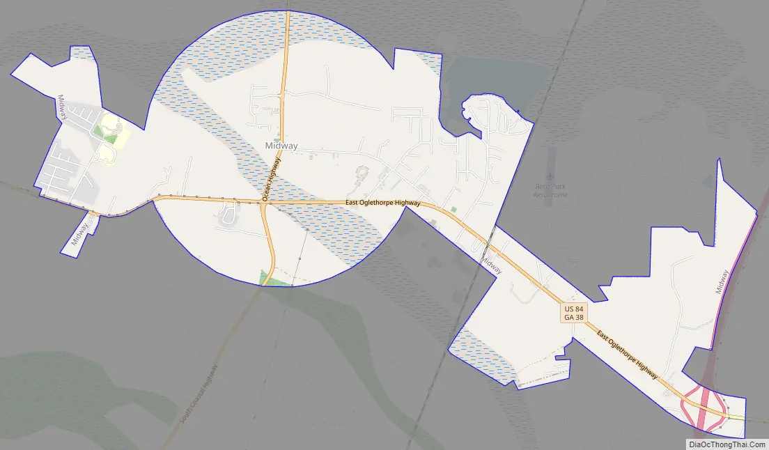
Midway city Satellite Map

Geography
Midway is located in eastern Liberty County at 31°48′00″N 81°24′44″W / 31.799873°N 81.412298°W / 31.799873; -81.412298Coordinates: 31°48′00″N 81°24′44″W / 31.799873°N 81.412298°W / 31.799873; -81.412298 (31.799873, -81.412298). The current city limits include the former unincorporated community of Dorchester. The city limits extend east to include Exit 76 on Interstate 95, at the eastern terminus of U.S. Route 84. Via I-95 it is 32 miles (51 km) northeast to Savannah and 45 miles (72 km) south to Brunswick. US 84 leads west from I-95 through Midway 15 miles (24 km) to Hinesville, the Liberty county seat. To the east from I-95, Islands Highway continues 10 miles (16 km) to Colonels Island among the Atlantic coastal marshes.
According to the United States Census Bureau, Midway has a total area of 6.4 square miles (16.7 km), of which 1.74 acres (7,053 m), or 0.04%, are water.
See also
Map of Georgia State and its subdivision:- Appling
- Atkinson
- Bacon
- Baker
- Baldwin
- Banks
- Barrow
- Bartow
- Ben Hill
- Berrien
- Bibb
- Bleckley
- Brantley
- Brooks
- Bryan
- Bulloch
- Burke
- Butts
- Calhoun
- Camden
- Candler
- Carroll
- Catoosa
- Charlton
- Chatham
- Chattahoochee
- Chattooga
- Cherokee
- Clarke
- Clay
- Clayton
- Clinch
- Cobb
- Coffee
- Colquitt
- Columbia
- Cook
- Coweta
- Crawford
- Crisp
- Dade
- Dawson
- Decatur
- DeKalb
- Dodge
- Dooly
- Dougherty
- Douglas
- Early
- Echols
- Effingham
- Elbert
- Emanuel
- Evans
- Fannin
- Fayette
- Floyd
- Forsyth
- Franklin
- Fulton
- Gilmer
- Glascock
- Glynn
- Gordon
- Grady
- Greene
- Gwinnett
- Habersham
- Hall
- Hancock
- Haralson
- Harris
- Hart
- Heard
- Henry
- Houston
- Irwin
- Jackson
- Jasper
- Jeff Davis
- Jefferson
- Jenkins
- Johnson
- Jones
- Lamar
- Lanier
- Laurens
- Lee
- Liberty
- Lincoln
- Long
- Lowndes
- Lumpkin
- Macon
- Madison
- Marion
- McDuffie
- McIntosh
- Meriwether
- Miller
- Mitchell
- Monroe
- Montgomery
- Morgan
- Murray
- Muscogee
- Newton
- Oconee
- Oglethorpe
- Paulding
- Peach
- Pickens
- Pierce
- Pike
- Polk
- Pulaski
- Putnam
- Quitman
- Rabun
- Randolph
- Richmond
- Rockdale
- Schley
- Screven
- Seminole
- Spalding
- Stephens
- Stewart
- Sumter
- Talbot
- Taliaferro
- Tattnall
- Taylor
- Telfair
- Terrell
- Thomas
- Tift
- Toombs
- Towns
- Treutlen
- Troup
- Turner
- Twiggs
- Union
- Upson
- Walker
- Walton
- Ware
- Warren
- Washington
- Wayne
- Webster
- Wheeler
- White
- Whitfield
- Wilcox
- Wilkes
- Wilkinson
- Worth
- Alabama
- Alaska
- Arizona
- Arkansas
- California
- Colorado
- Connecticut
- Delaware
- District of Columbia
- Florida
- Georgia
- Hawaii
- Idaho
- Illinois
- Indiana
- Iowa
- Kansas
- Kentucky
- Louisiana
- Maine
- Maryland
- Massachusetts
- Michigan
- Minnesota
- Mississippi
- Missouri
- Montana
- Nebraska
- Nevada
- New Hampshire
- New Jersey
- New Mexico
- New York
- North Carolina
- North Dakota
- Ohio
- Oklahoma
- Oregon
- Pennsylvania
- Rhode Island
- South Carolina
- South Dakota
- Tennessee
- Texas
- Utah
- Vermont
- Virginia
- Washington
- West Virginia
- Wisconsin
- Wyoming