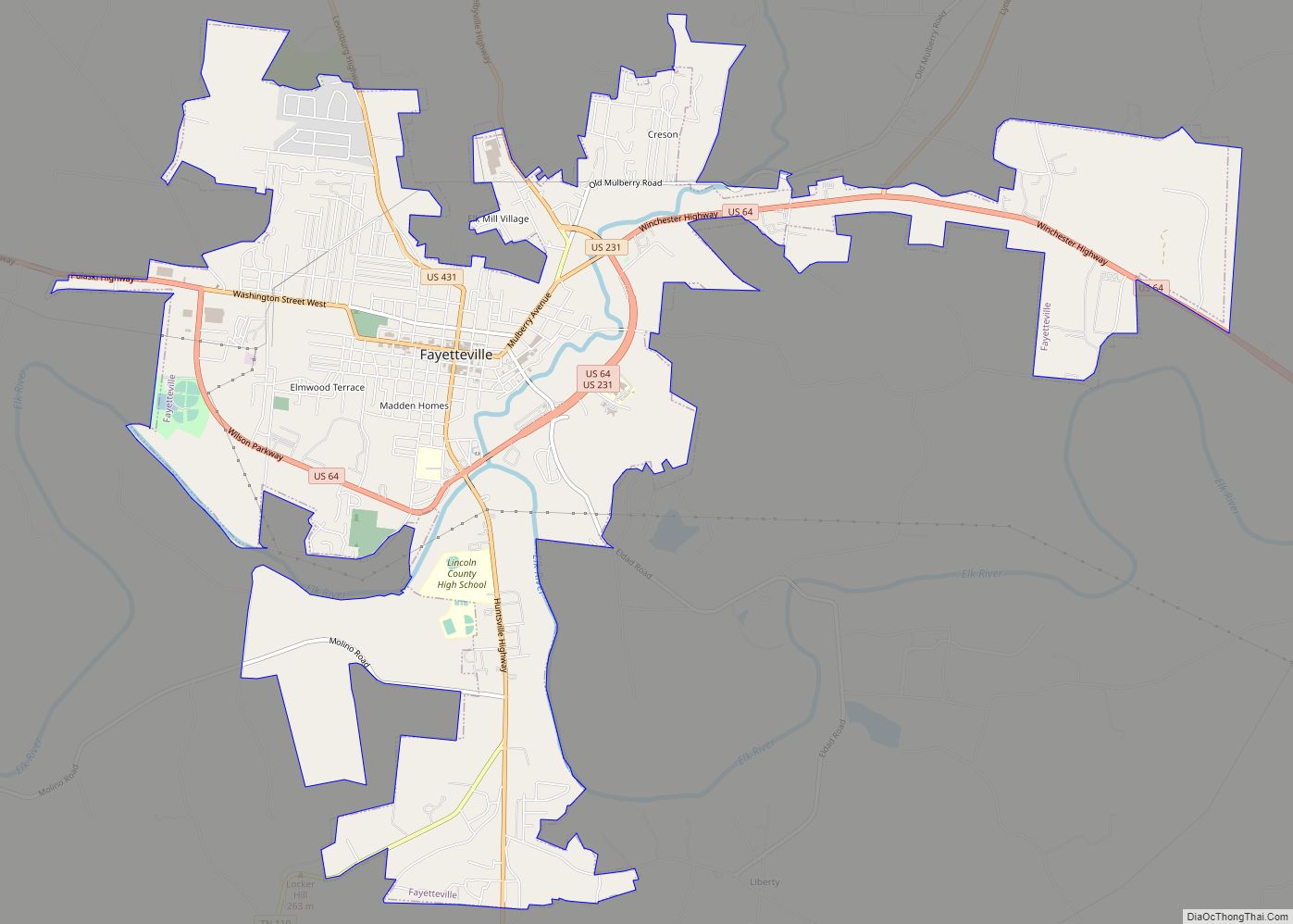
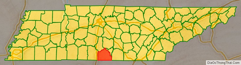
Lincoln County is a county located in the south central part of the U.S. state of Tennessee. As of the 2020 census, the population was 35,319. Its county seat and largest city is Fayetteville. The county is named for Major General Benjamin Lincoln, an officer in the American Revolutionary War.
| Name: | Lincoln County |
|---|---|
| FIPS code: | 47-103 |
| State: | Tennessee |
| Founded: | 1809 |
| Named for: | Benjamin Lincoln |
| Seat: | Fayetteville |
| Largest city: | Fayetteville |
| Total Area: | 571 sq mi (1,480 km²) |
| Land Area: | 570 sq mi (1,500 km²) |
| Total Population: | 35,319 |
| Population Density: | 58/sq mi (22/km²) |
| Time zone: | UTC−6 (Central) |
| Summer Time Zone (DST): | UTC−5 (CDT) |
| Website: | www.lincolncountytn.gov |
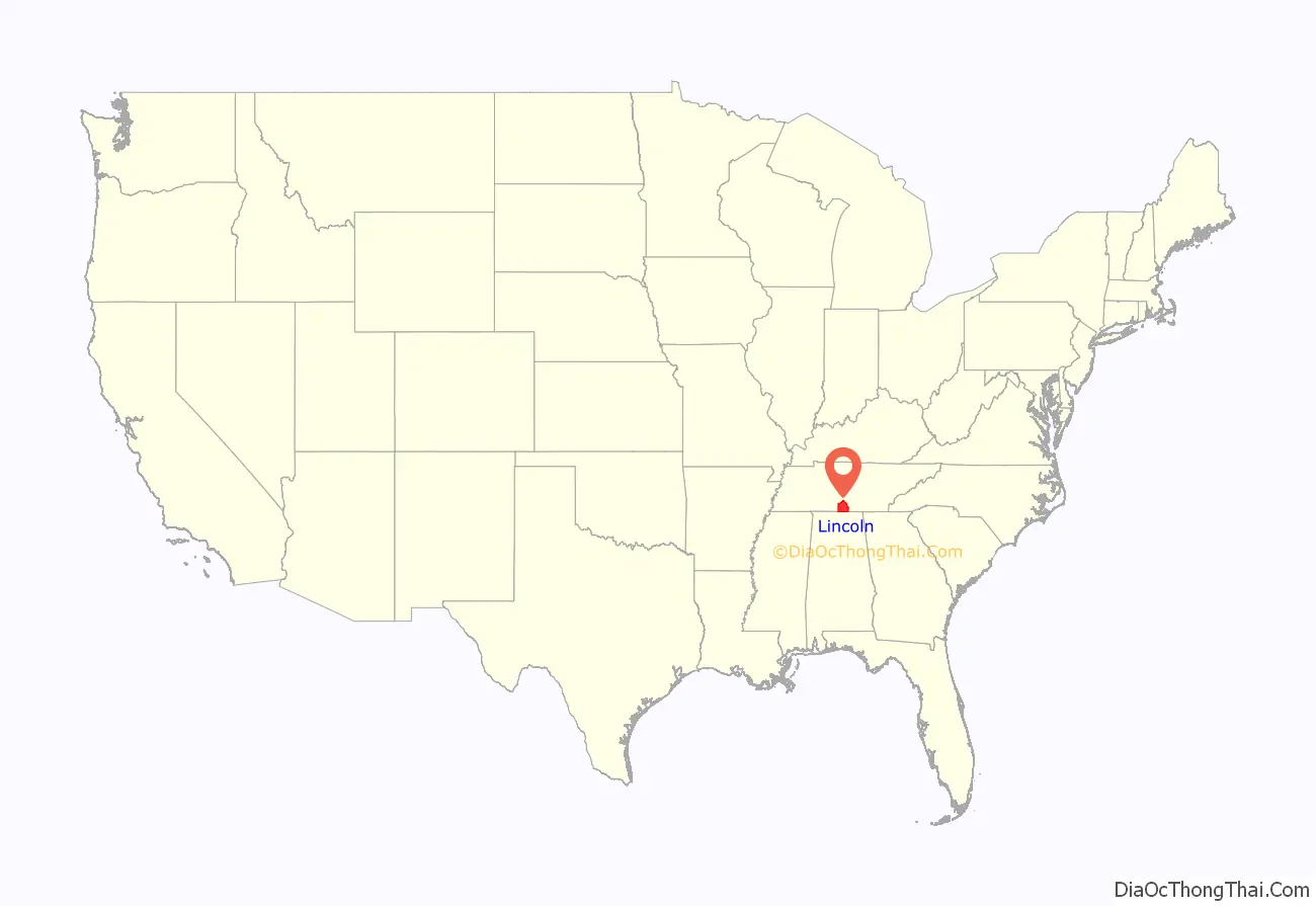
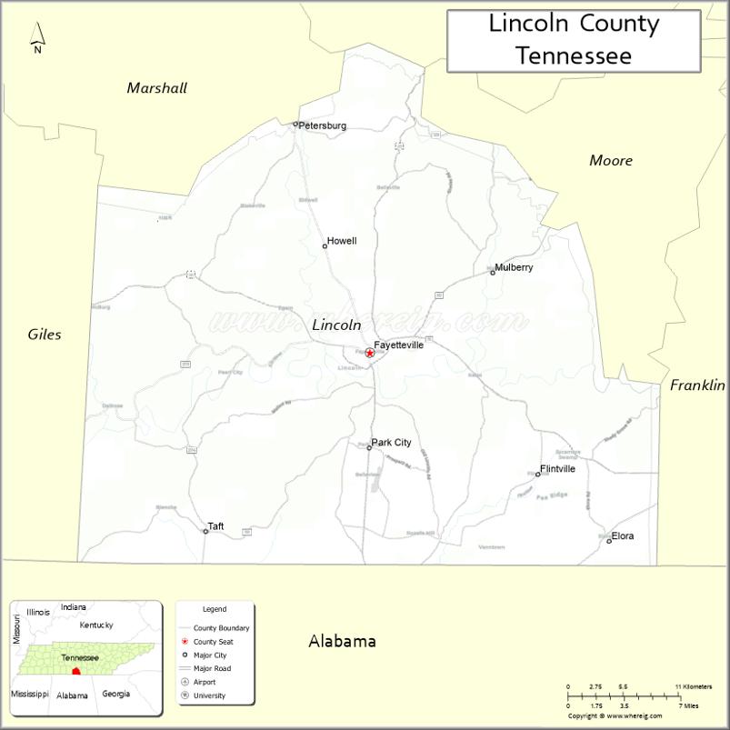
Lincoln County location map. Where is Lincoln County?
History
Lincoln County was created in 1809 from parts of Bedford County. The land occupied by the county was part of a land cession obtained from the Cherokee and Chickasaw in 1806.
The Lincoln County Process, used in the distillation of Tennessee whiskey, is named for this county, as the Jack Daniel Distillery was originally located there. However, a subsequent redrawing of county lines resulted in the establishment of adjacent Moore County, which includes the location of the distillery. Another distillery opened in Lincoln County in 1997 – the Benjamin Pritchard’s Distillery. However, it does not use the Lincoln County Process for making its Tennessee whiskey. When a law was established in 2013 to require the Lincoln County Process to be used for making all Tennessee whiskey, the Benjamin Pritchard’s Distillery was exempted by a grandfather clause. As a result, no current Lincoln County business uses its namesake process.
On March 5, 2017, a poultry farm that distributes products to Tyson Foods was confirmed to have a reported a case of Influenza A virus subtype H7N9 detected in birds resulting in the slaughter of 74,000 chickens.
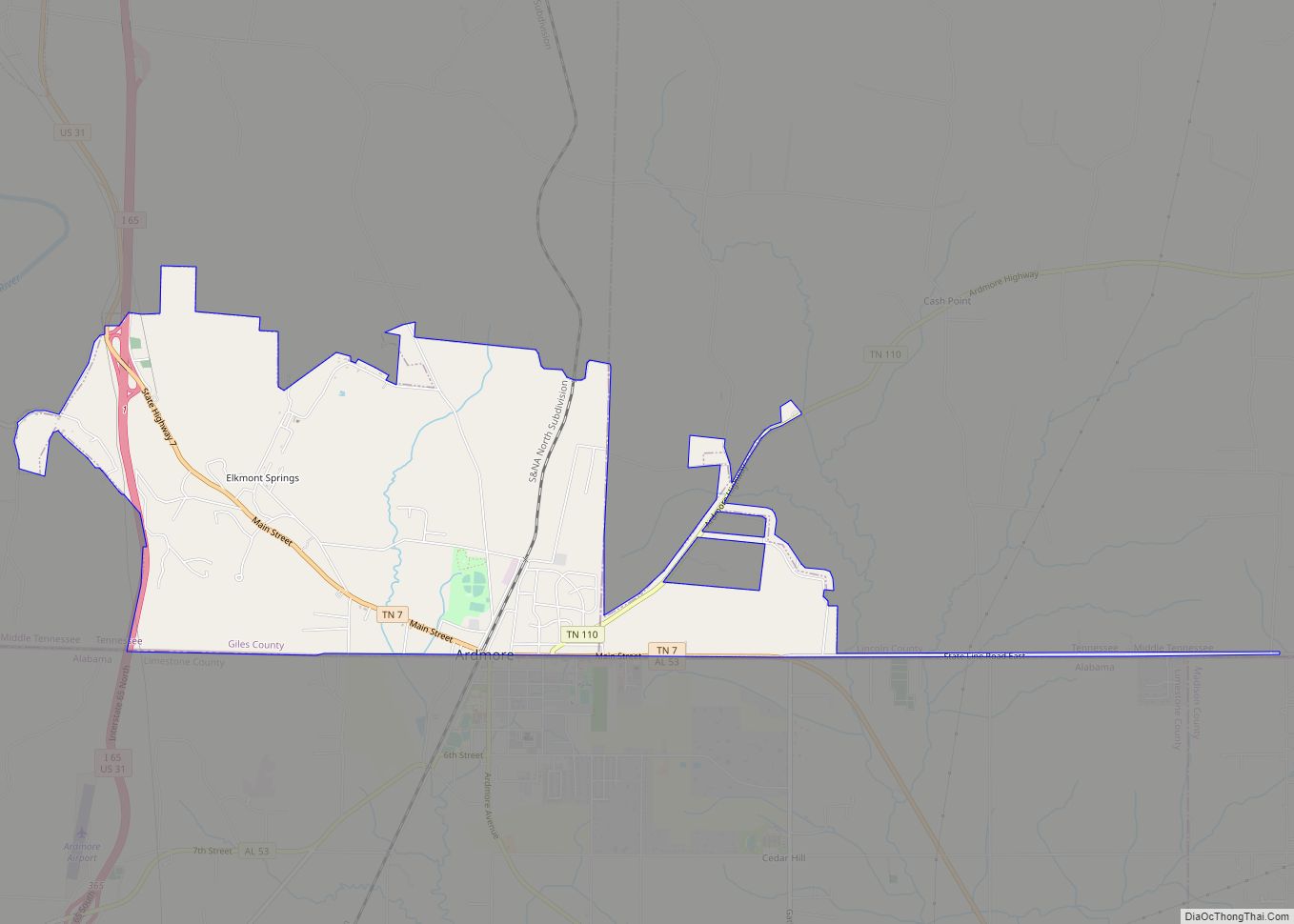
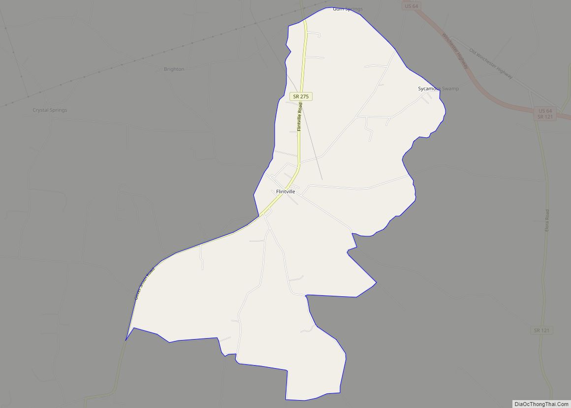
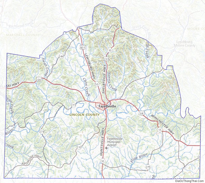
Lincoln County Road Map
Geography
According to the U.S. Census Bureau, the county has a total area of 571 square miles (1,480 km), of which 570 square miles (1,500 km) are land and 0.4 square miles (1.0 km) (0.07%) are water.
Adjacent counties
- Bedford County (north)
- Moore County (northeast)
- Franklin County (east)
- Madison County, Alabama (south)
- Limestone County, Alabama (southwest)
- Giles County (west)
- Marshall County (northwest)
State protected areas
- Flintville Hatchery Wildlife Management Area
Lincoln County Topographic Map
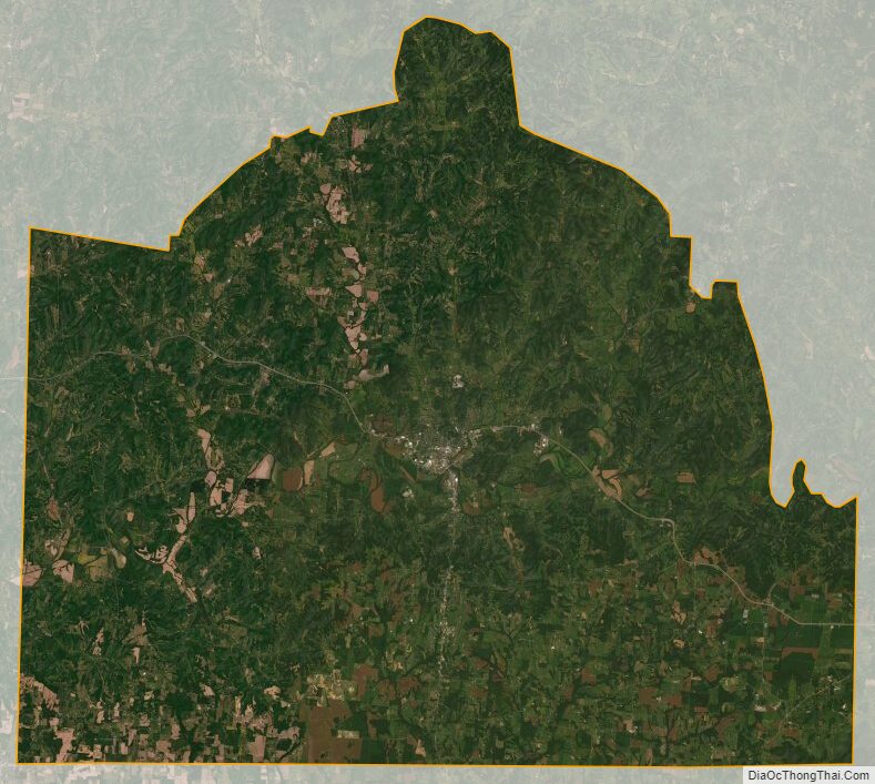
Lincoln County Satellite Map
Lincoln County Outline Map