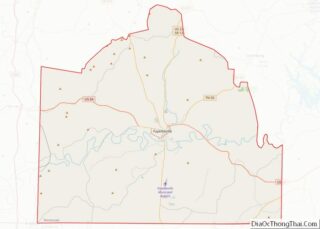
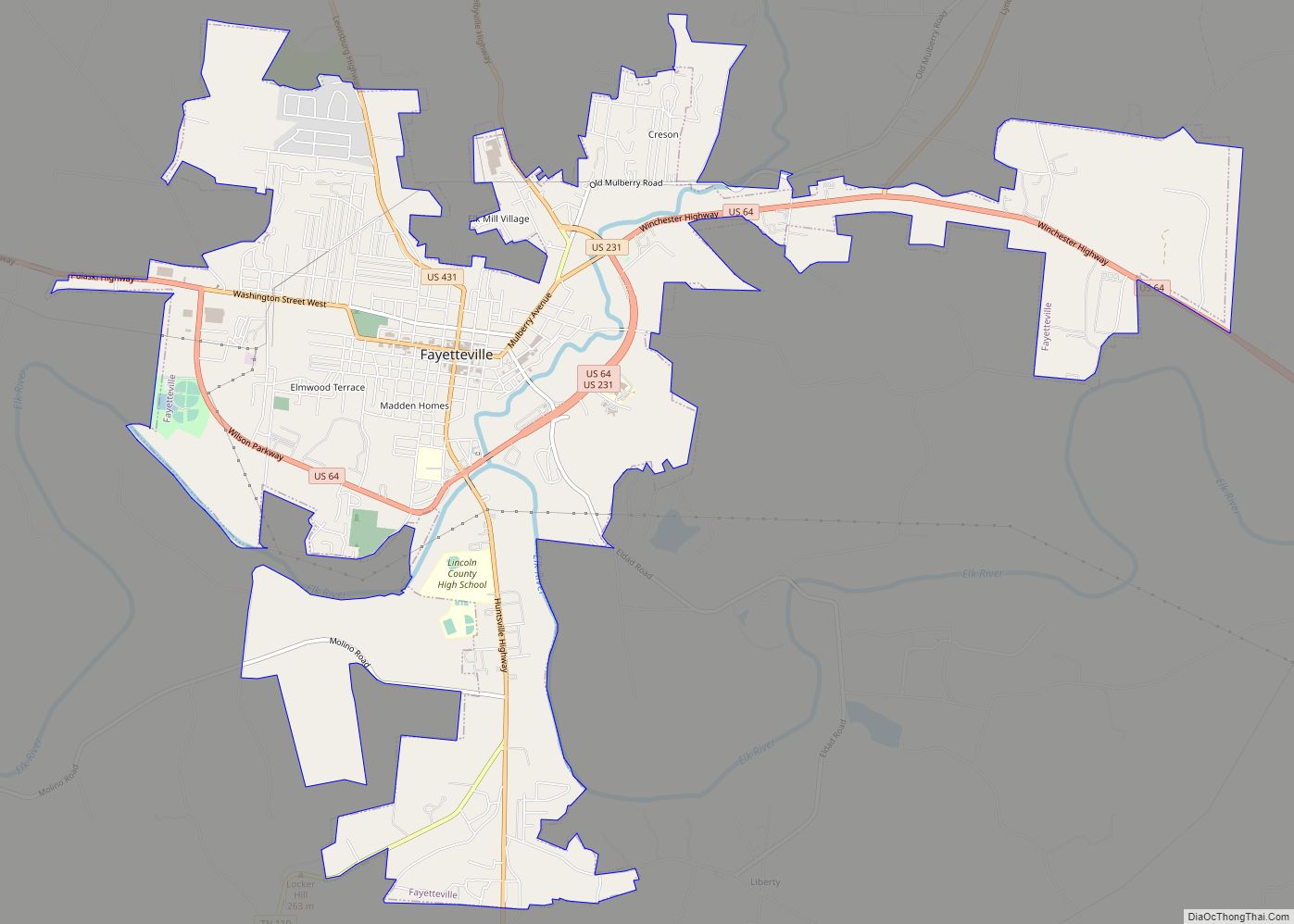
Fayetteville is a city and the county seat of Lincoln County, Tennessee, United States. The population was 6,994 at the 2000 census, and 6,827 at the 2010 census. A census estimate from 2018 showed 7,017.
| Name: | Fayetteville city |
|---|---|
| LSAD Code: | 25 |
| LSAD Description: | city (suffix) |
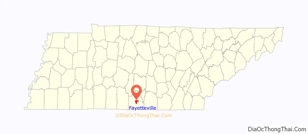
| State: | Tennessee |
| County: | Lincoln County |
| Founded: | 1809 |
| Elevation: | 705 ft (215 m) |
| Total Area: | 9.62 sq mi (24.92 km²) |
| Land Area: | 9.62 sq mi (24.92 km²) |
| Water Area: | 0.00 sq mi (0.00 km²) |
| Total Population: | 7,068 |
| Population Density: | 734.64/sq mi (283.66/km²) |
| ZIP code: | 37334 |
| Area code: | 931 |
| FIPS code: | 4725920 |
| GNISfeature ID: | 1647829 |
| Website: | www.fayettevilletn.com |
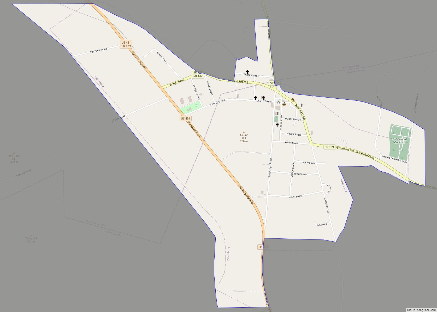
Online Interactive Map
Click on ![]() to view map in "full screen" mode.
to view map in "full screen" mode.
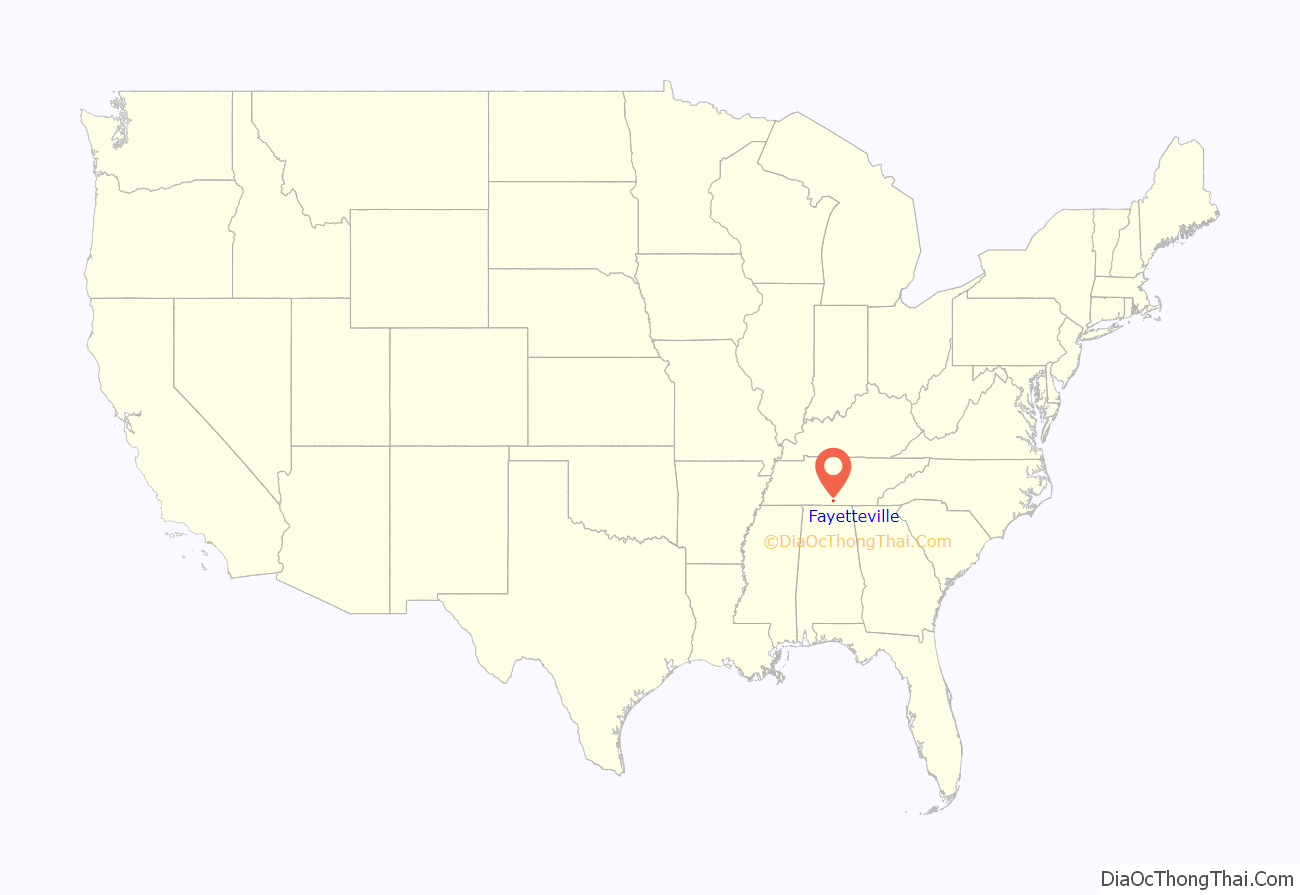
Fayetteville location map. Where is Fayetteville city?
History
Fayetteville is the largest city in Lincoln County. The city was established in 1809 by an Act of the Tennessee General Assembly. The act became effective on January 1, 1810.
The lands that include Lincoln County and Fayetteville were originally part of Cherokee and Chickasaw land. They were ceded to the United States in 1806.
The city was named for Fayetteville, North Carolina, where some of its earliest residents had lived before moving to Tennessee. The earlier town was named for Gilbert du Motier, Marquis de Lafayette, a French general who fought for the United States during the American Revolution. Lincoln County was named for Major General Benjamin Lincoln, second in command of the U.S. Army at the end of the Revolutionary War.
The earliest white settler was Ezekiel Norris, who gave the one hundred acres upon which the city was built. In addition to Ezekiel Norris, other founding fathers of Fayetteville include: Alexander and Andrew Greer, William Edmonson, and Matthew Buchanan.
In 1995, the International Gospel Hour radio broadcast, founded in Texarkana, Texas, by the clergyman V. E. Howard was transferred to the West Fayetteville Church of Christ in Fayetteville under the minister Winford Claiborne.
Tornadoes
Several devastating tornadoes of struck the city during its history. On February 29, 1952, the town was hit by a catastrophic and violent F4 tornado that damaged or obliterated numerous homes, businesses, trees, power lines, vehicles, and other buildings. Two people were killed and 150 others were injured. The city was also devastated by tornadoes on March 14, 1851; March 27, 1890; and April 29, 1909 An EF2 tornado on March 24, 2023 also followed a path similar to the 1952 tornado.
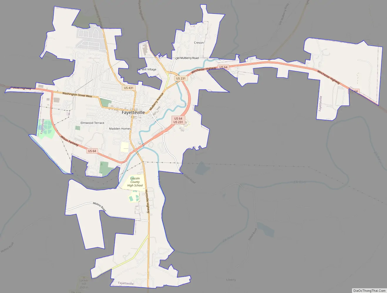
Fayetteville Road Map
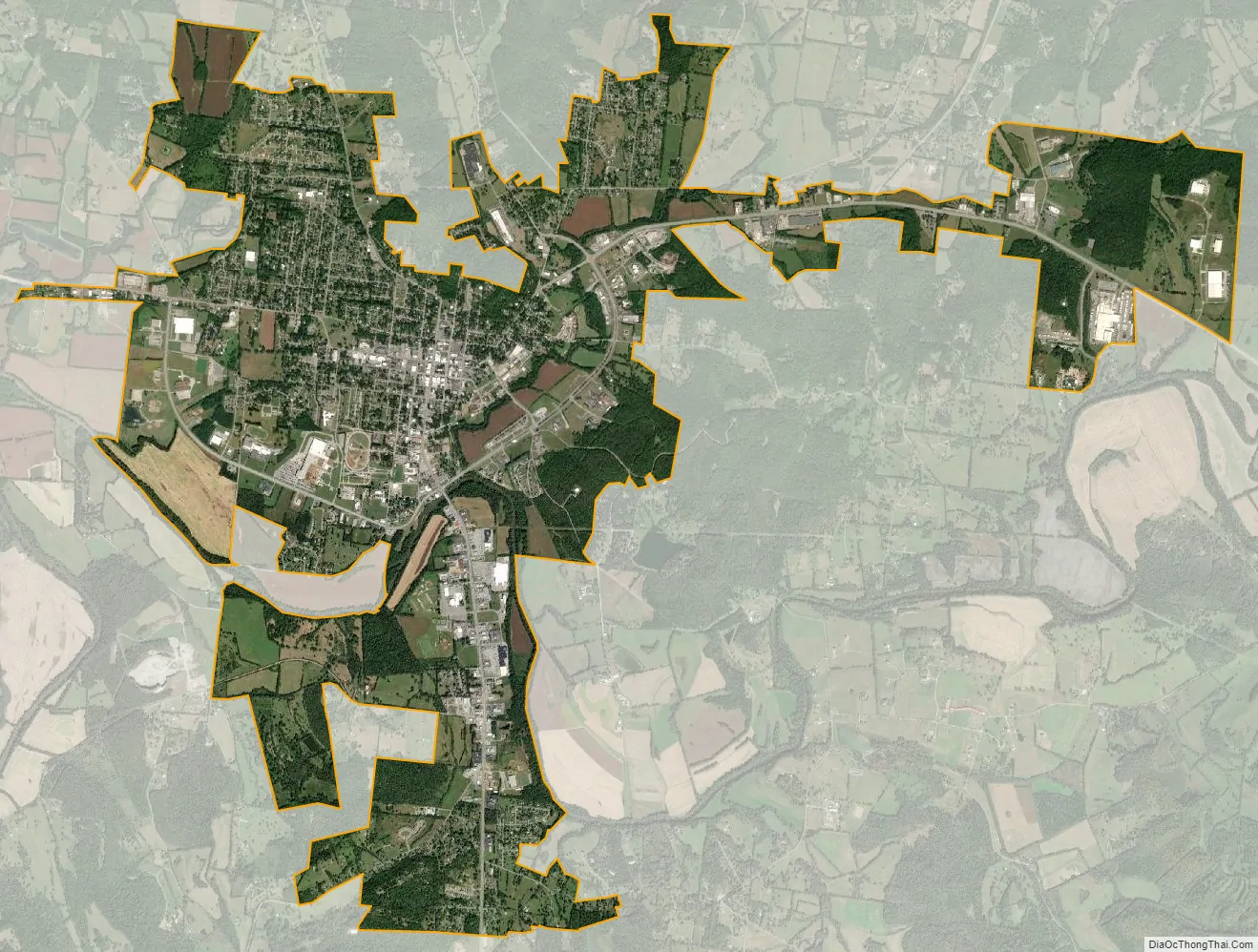
Fayetteville city Satellite Map
Geography
According to the United States Census Bureau, the city has a total area of 7.3 square miles (19 km), all land.
Climate
The climate of Fayetteville is characterized by relatively warm temperatures and heavy rainfall throughout the year. The Köppen Climate Classification subtype for this climate is “Cfa” (Humid Subtropical Climate). Fayetteville’s Trewartha climate classification is also subtropical (Cf).
See also
Map of Tennessee State and its subdivision:- Anderson
- Bedford
- Benton
- Bledsoe
- Blount
- Bradley
- Campbell
- Cannon
- Carroll
- Carter
- Cheatham
- Chester
- Claiborne
- Clay
- Cocke
- Coffee
- Crockett
- Cumberland
- Davidson
- Decatur
- DeKalb
- Dickson
- Dyer
- Fayette
- Fentress
- Franklin
- Gibson
- Giles
- Grainger
- Greene
- Grundy
- Hamblen
- Hamilton
- Hancock
- Hardeman
- Hardin
- Hawkins
- Haywood
- Henderson
- Henry
- Hickman
- Houston
- Humphreys
- Jackson
- Jefferson
- Johnson
- Knox
- Lake
- Lauderdale
- Lawrence
- Lewis
- Lincoln
- Loudon
- Macon
- Madison
- Marion
- Marshall
- Maury
- McMinn
- McNairy
- Meigs
- Monroe
- Montgomery
- Moore
- Morgan
- Obion
- Overton
- Perry
- Pickett
- Polk
- Putnam
- Rhea
- Roane
- Robertson
- Rutherford
- Scott
- Sequatchie
- Sevier
- Shelby
- Smith
- Stewart
- Sullivan
- Sumner
- Tipton
- Trousdale
- Unicoi
- Union
- Van Buren
- Warren
- Washington
- Wayne
- Weakley
- White
- Williamson
- Wilson
- Alabama
- Alaska
- Arizona
- Arkansas
- California
- Colorado
- Connecticut
- Delaware
- District of Columbia
- Florida
- Georgia
- Hawaii
- Idaho
- Illinois
- Indiana
- Iowa
- Kansas
- Kentucky
- Louisiana
- Maine
- Maryland
- Massachusetts
- Michigan
- Minnesota
- Mississippi
- Missouri
- Montana
- Nebraska
- Nevada
- New Hampshire
- New Jersey
- New Mexico
- New York
- North Carolina
- North Dakota
- Ohio
- Oklahoma
- Oregon
- Pennsylvania
- Rhode Island
- South Carolina
- South Dakota
- Tennessee
- Texas
- Utah
- Vermont
- Virginia
- Washington
- West Virginia
- Wisconsin
- Wyoming