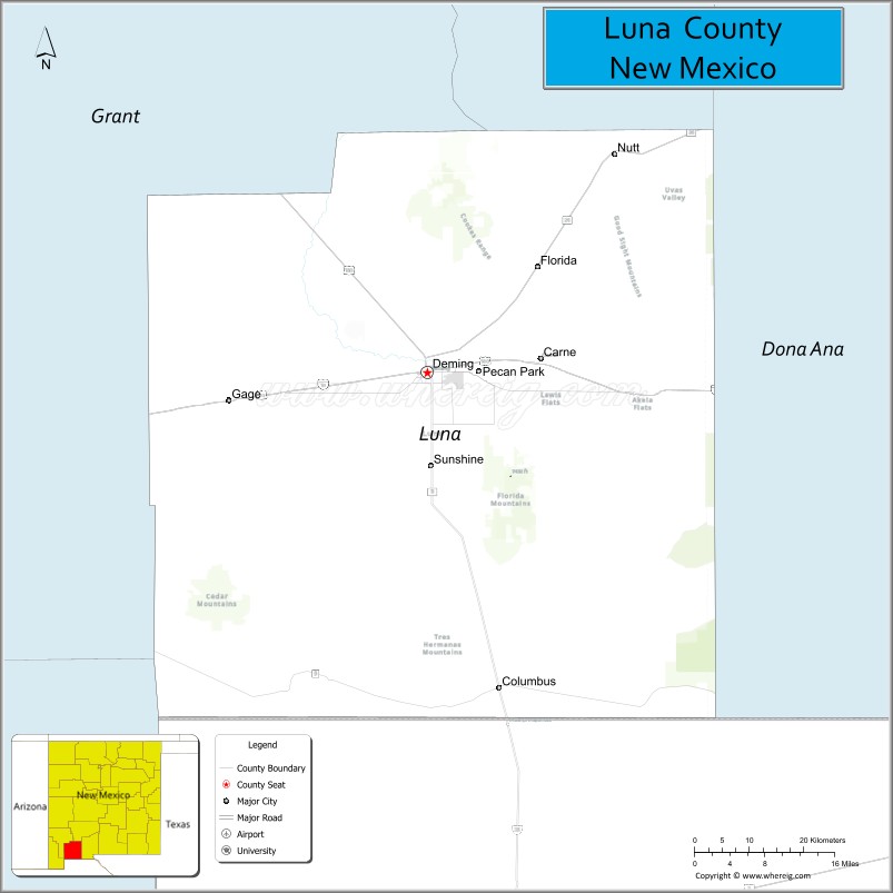
Luna County is a county located in the U.S. state of New Mexico. As of the 2010 census, the population was 25,095. Its county seat is Deming. This county abuts the Mexican border. Luna County comprises the Deming, NM Micropolitan Statistical Area.
| Name: | Luna County |
|---|---|
| FIPS code: | 35-029 |
| State: | New Mexico |
| Founded: | March 16, 1901 |
| Named for: | Solomon Luna |
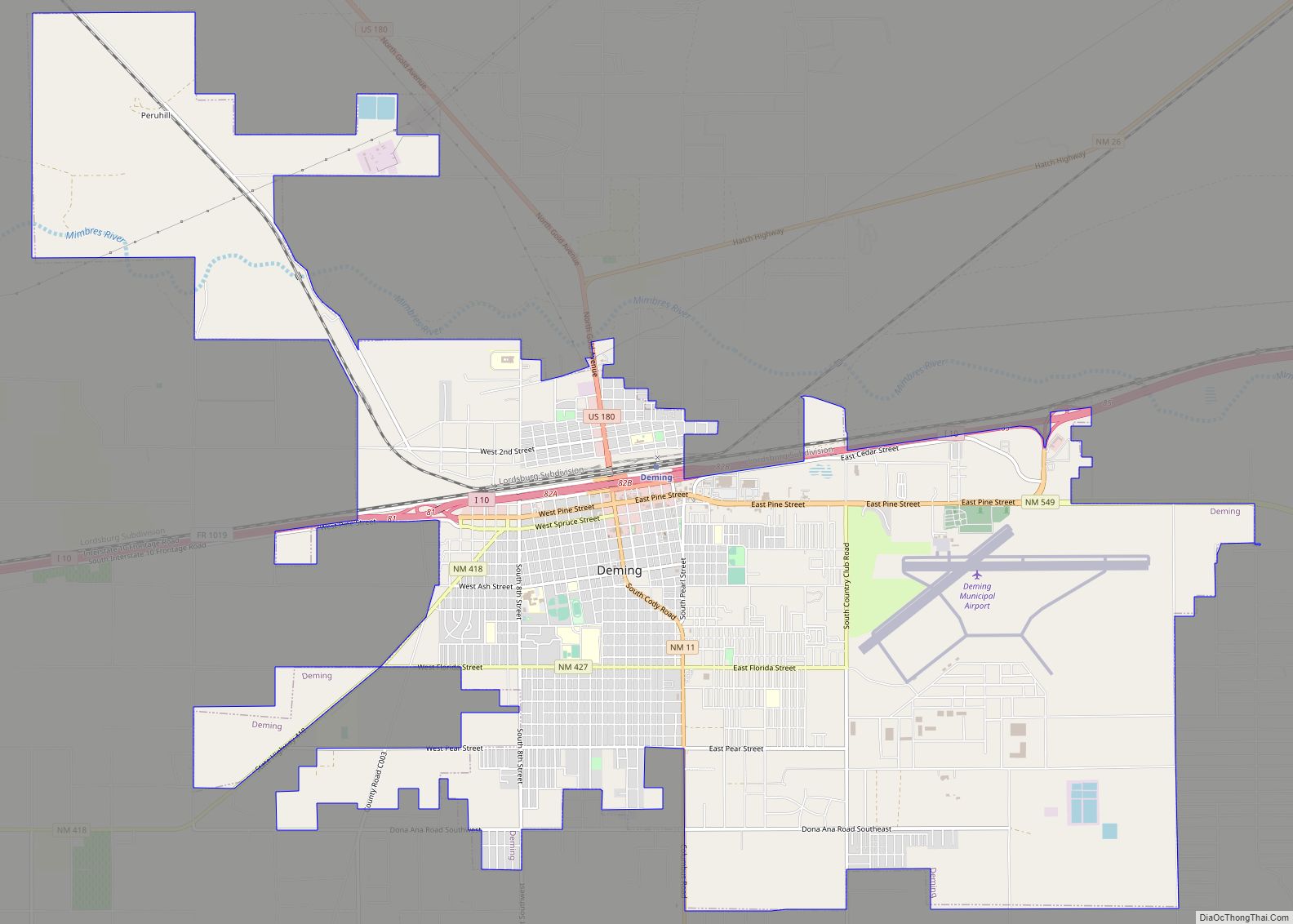
| Seat: | Deming |
| Largest city: | Deming |
| Total Area: | 2,965 sq mi (7,680 km²) |
| Land Area: | 2,965 sq mi (7,680 km²) |
| Total Population: | 25,532 |
| Population Density: | 8.5/sq mi (3.3/km²) |
| Time zone: | UTC−7 (Mountain) |
| Summer Time Zone (DST): | UTC−6 (MDT) |
| Website: | lunacountynm.us |
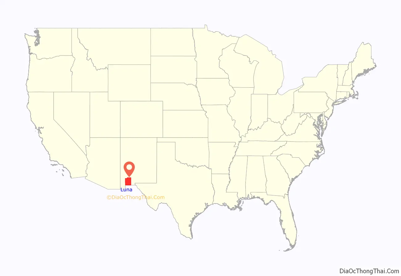
Luna County location map. Where is Luna County?
History
Luna County was formed from parts of Grant County and Doña Ana County by the New Mexico Legislature on March 16, 1901. It was named for Solomon Luna, a politician who advocated for independence of the county, following a strong rivalry between the cities of Deming and Silver City, both of which were at the time in Grant County.
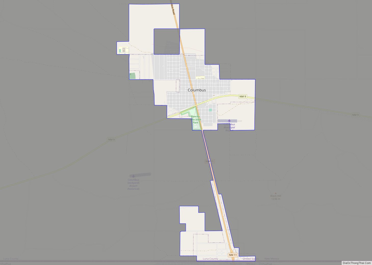
Before dawn on March 16, 1916, Mexican revolutionary Pancho Villa led several hundred of his rebel soldiers across the Mexican border into the southern county village of Columbus. The invaders raided and burned much of the town, causing many residents to flee to the desert. Although the raid completely surprised everyone in the town, it also awakened 350 United States Army soldiers at Camp Furlong at the edge of town, who defended the town with two machine guns. The fighting continued until dawn, when Villa fled back across the Mexican border, five hours after invading and approximately ninety minutes after attacking the town. Despite the U.S. Army’s counter “Mexican Expedition” into Mexico, Villa was never caught; United States forces began engagement into The Great War and was unable to commit to Pancho Villas capture; he died seven years later at the hands of an assassin. Eighteen Columbus residents and U.S. soldiers were killed in the raid, while approximately seventy-five of Villa’s soldiers were killed.
In 1917 striking copper miners from Bisbee, Arizona were deported to this county.
Construction of an improved barrier on the border with Mexico was expedited in 2019 with waivers of environmental and other laws. The waivers are for 27 laws including protection of endangered species, archaeological sites, and historic places.
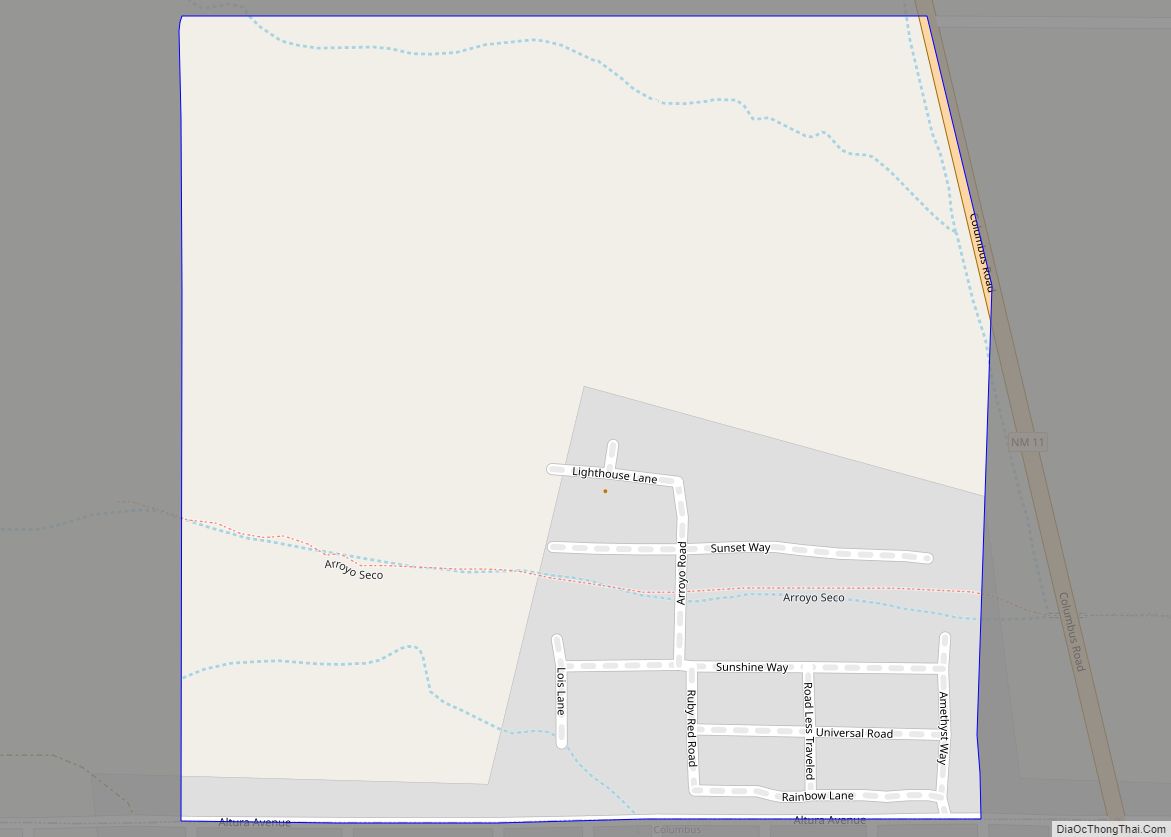
Today, Pancho Villa State Park is located in the village of Columbus. It features beautiful cacti and the ruins of “the U.S. Army’s first greaserack”.
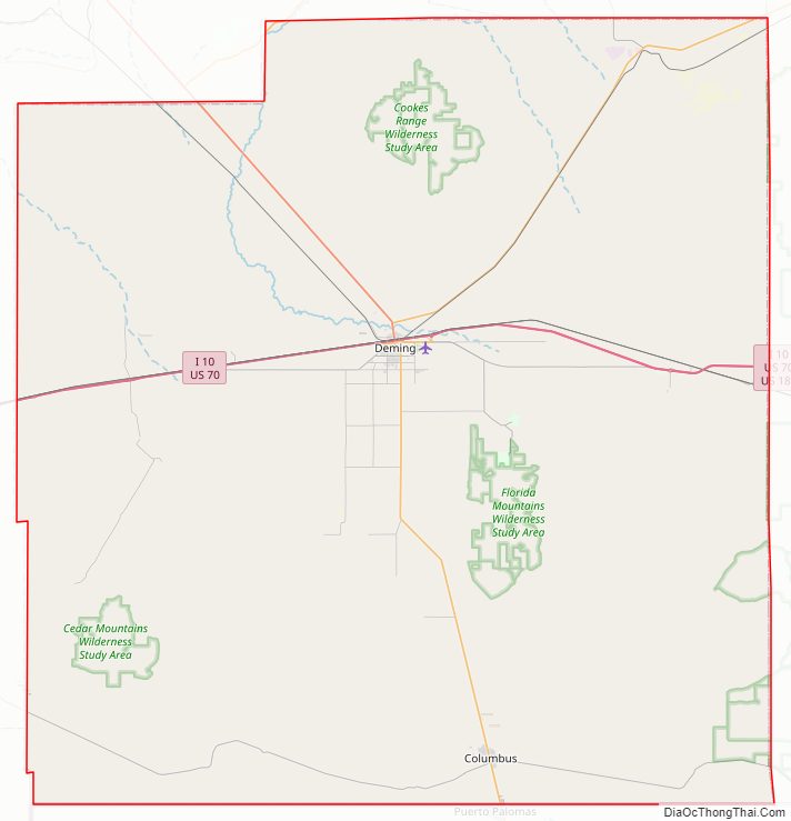
Luna County Road Map
Geography
According to the U.S. Census Bureau, the county has a total area of 2,965 square miles (7,680 km), virtually all of which is land. The bulk of the county is flat lowland, either grassland or desert scrub, but it also contains three mountain ranges: Cooke’s Range in the north, the Florida Mountains on the southeastern side of Deming near the center of the county, and the Tres Hermanas Mountains in the southern part of the county near Columbus.
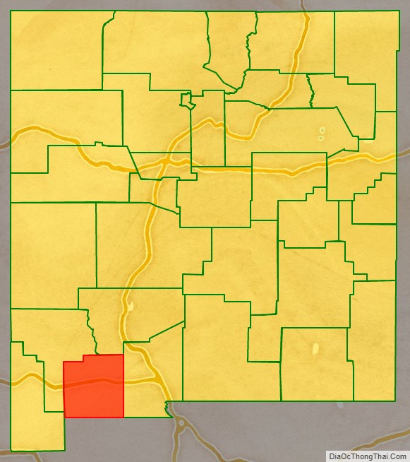
Adjacent counties and municipality
- Sierra County – northeast
- Doña Ana County – east
- Grant County – west
- Hidalgo County – west
- Ascensión, Chihuahua, Mexico – south
Major highways
- I-10
- I-10 BL
- US 70
- US 180
- NM 9
- NM 11
- NM 26
- NM 27
- NM 61
- NM 141
- NM 143
- NM 148
- NM 198
- NM 331
- NM 332
- NM 377
- NM 394
- NM 418
- NM 495
- NM 497
- NM 517
- NM 549
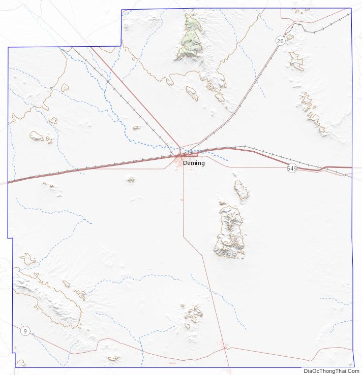
Luna County Topographic Map
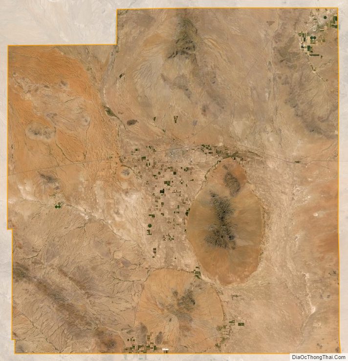
Luna County Satellite Map
Luna County Outline Map