Lyon County (standard abbreviation: LY) is a county located in the U.S. state of Kansas. As of the 2020 census, the county population was 32,179. The county seat and largest city is Emporia. The county was named for General Nathaniel Lyon, who was killed at the Battle of Wilson’s Creek in the Civil War.
| Name: | Lyon County |
|---|---|
| FIPS code: | 20-111 |
| State: | Kansas |
| Founded: | February 5, 1862 |
| Named for: | Nathaniel Lyon |
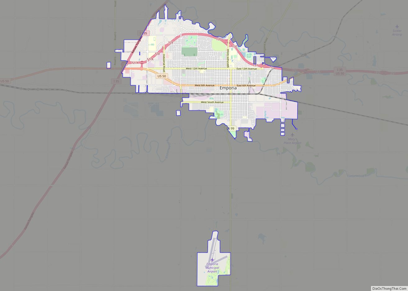
| Seat: | Emporia |
| Largest city: | Emporia |
| Total Area: | 855 sq mi (2,210 km²) |
| Land Area: | 847 sq mi (2,190 km²) |
| Total Population: | 32,179 |
| Population Density: | 38.0/sq mi (14.7/km²) |
| Time zone: | UTC−6 (Central) |
| Summer Time Zone (DST): | UTC−5 (CDT) |
| Website: | LyonCounty.org |
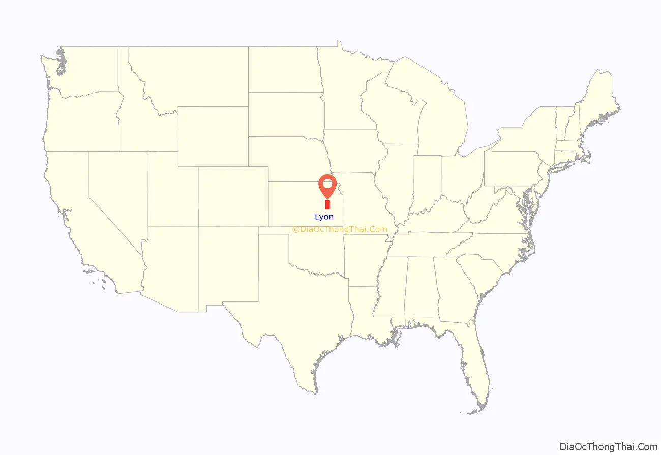
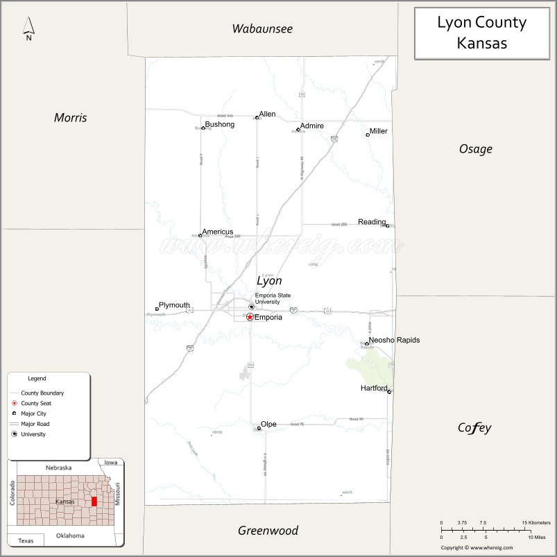
Lyon County location map. Where is Lyon County?
History
Early history
For many millennia, the Great Plains of North America was inhabited by nomadic Native Americans. From the 16th century to 18th century, the Kingdom of France claimed ownership of large parts of North America. In 1762, after the French and Indian War, France secretly ceded New France to Spain, per the Treaty of Fontainebleau.
19th century
In 1802, Spain returned most of the land to France, but keeping title to about 7,500 square miles. In 1803, most of the land for modern day Kansas was acquired by the United States from France as part of the 828,000 square mile Louisiana Purchase for 2.83 cents per acre.
In 1806, Zebulon Pike led the Pike Expedition westward from St Louis, Missouri, of which part of their journey followed the Cottonwood River through Lyon County.
In 1854, the Kansas Territory was organized, then in 1861 Kansas became the 34th U.S. state. In 1862, Lyon County was established from the county formerly known as Breckinridge County.
In 1871, the Atchison, Topeka and Santa Fe Railway extended a main line from Emporia to Newton.
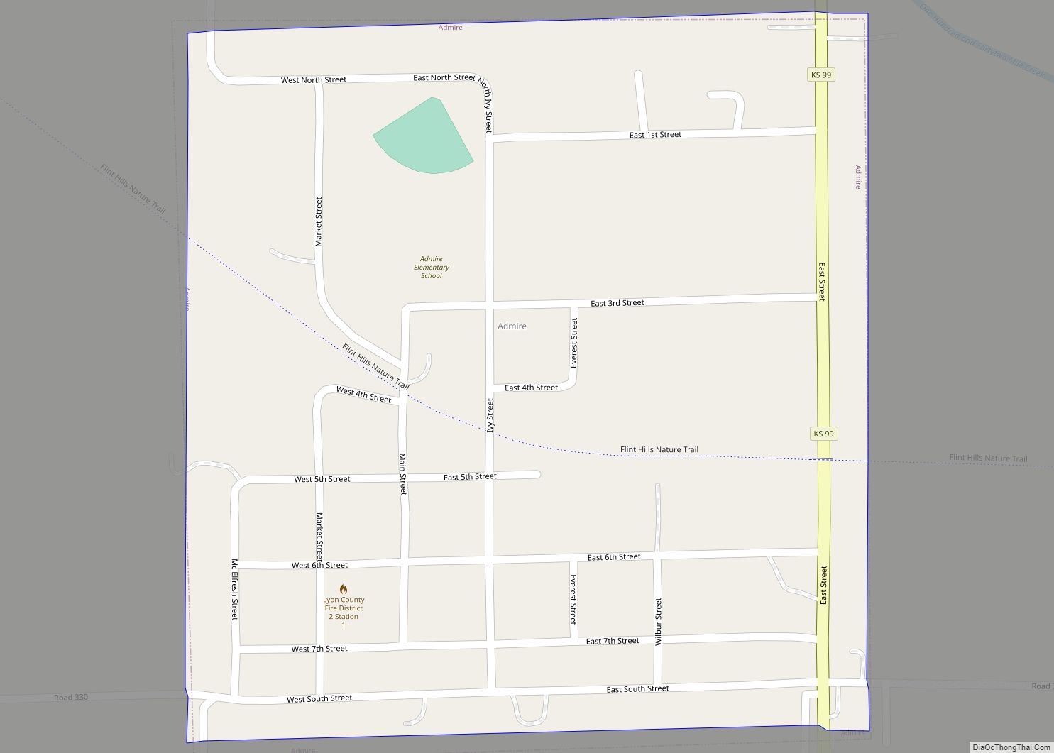
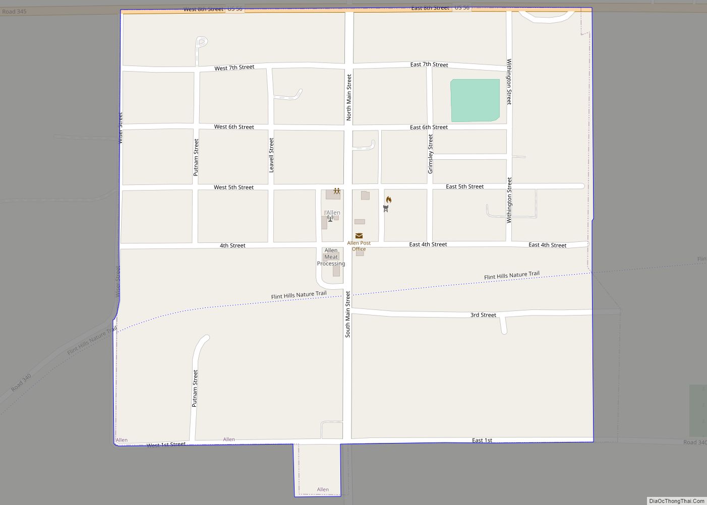
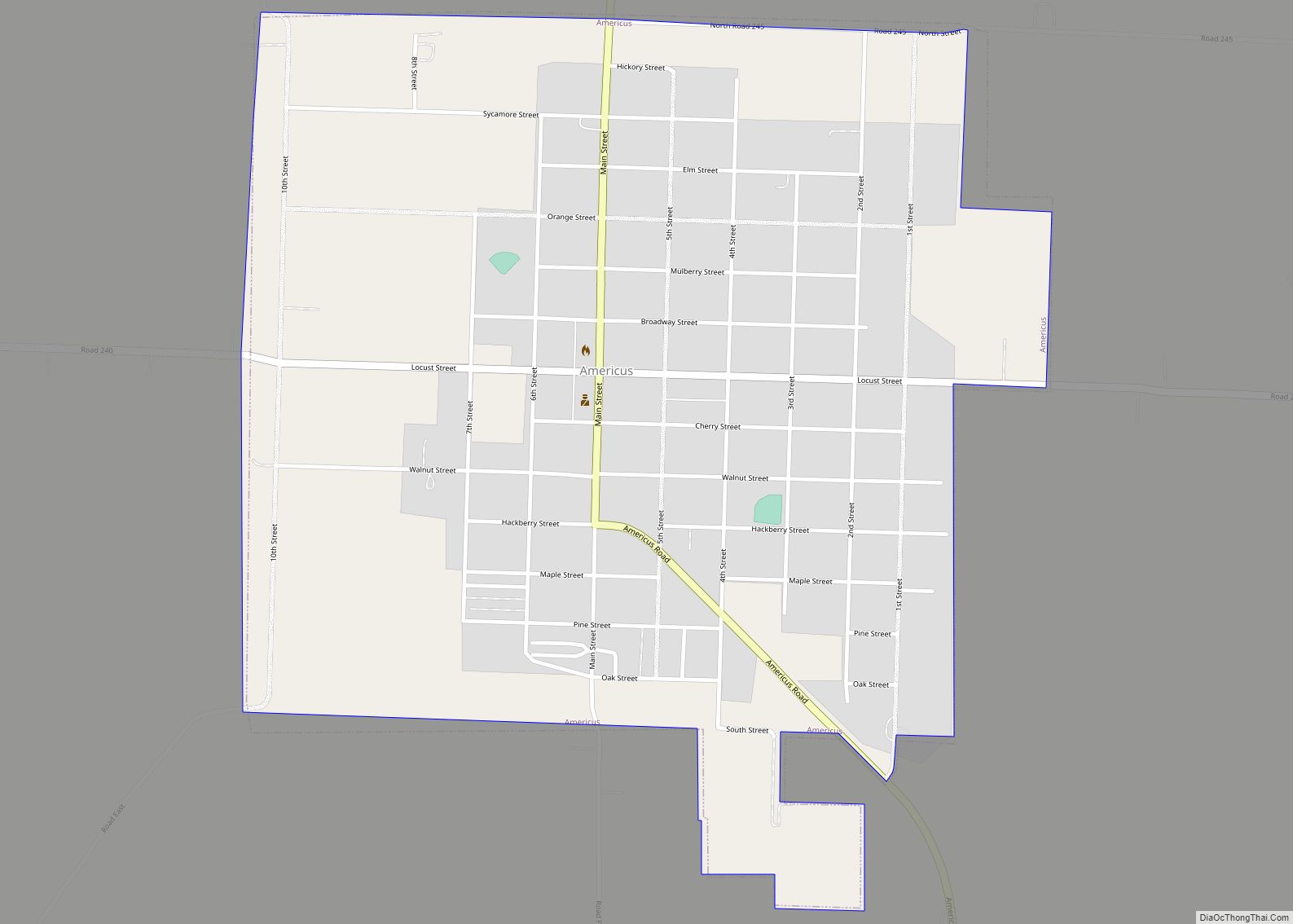
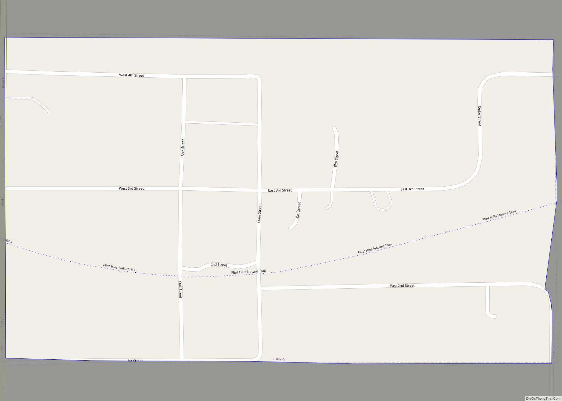
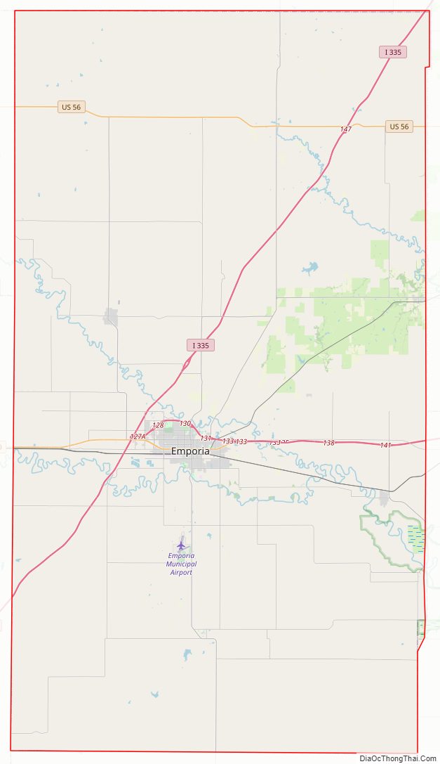
Lyon County Road Map
Geography
According to the U.S. Census Bureau, the county has a total area of 855 square miles (2,210 km), of which 847 square miles (2,190 km) is land and 7.9 square miles (20 km) (0.9%) is water.
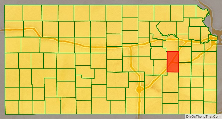
Adjacent counties
- Wabaunsee County (north)
- Osage County (northeast)
- Coffey County (southeast)
- Greenwood County (south)
- Chase County(west)
- Morris County (northwest)
National protected area
- Flint Hills National Wildlife Refuge (part)
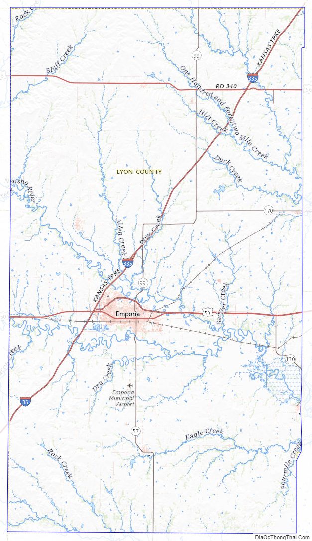
Lyon County Topographic Map
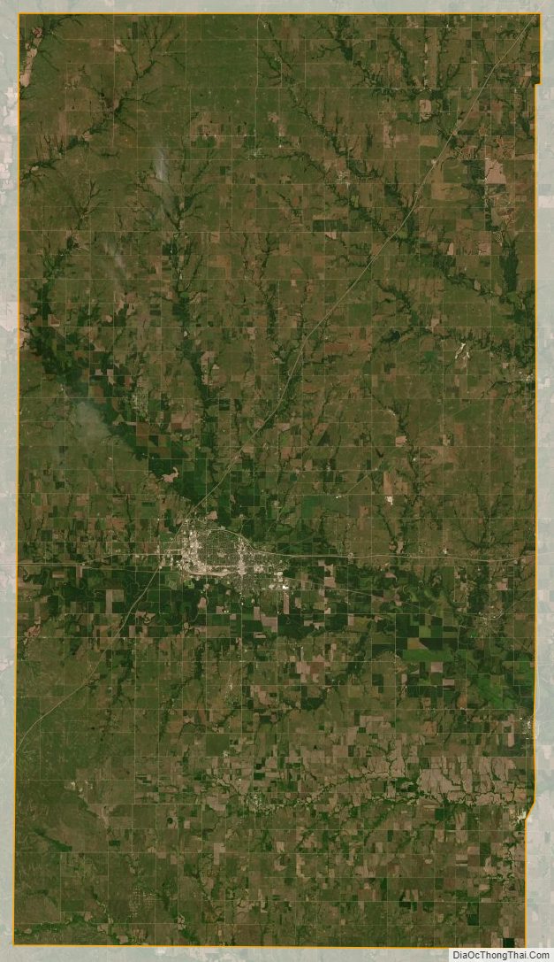
Lyon County Satellite Map
Lyon County Outline Map