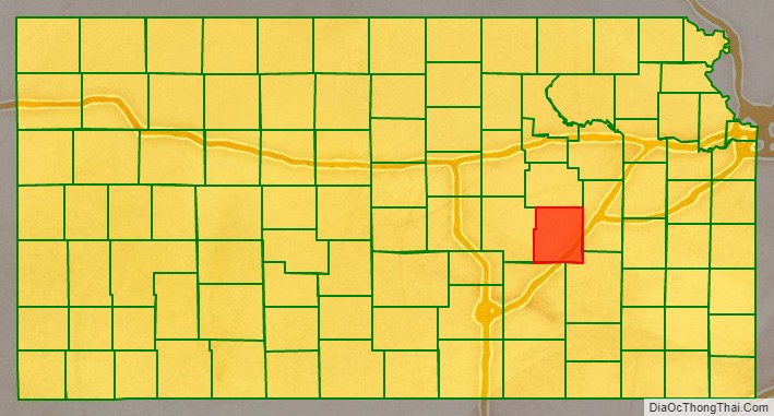
Chase County (county code CS) is a county located in the U.S. state of Kansas. As of the 2020 census, the county population was 2,572. Its county seat and most populous city is Cottonwood Falls. The center of population of Kansas is located in Chase County, about four miles north of Strong City.
| Name: | Chase County |
|---|---|
| FIPS code: | 20-017 |
| State: | Kansas |
| Founded: | February 11, 1859 |
| Named for: | Salmon P. Chase |
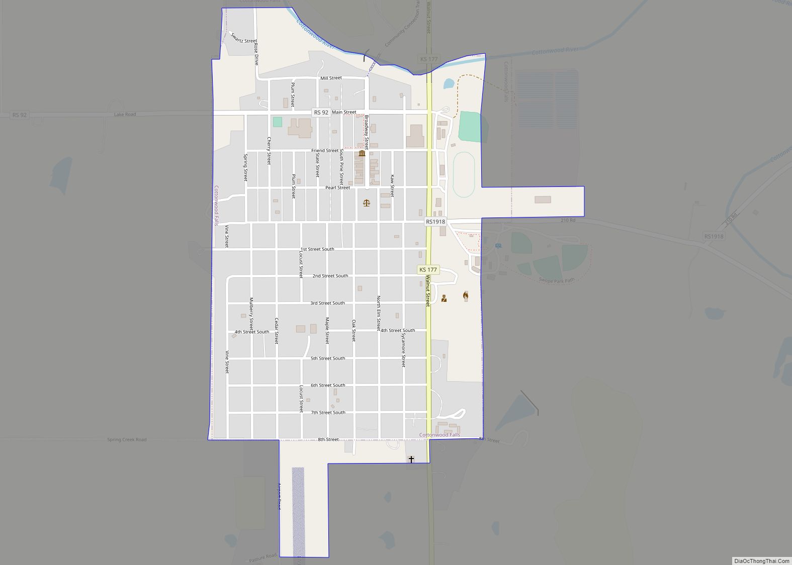
| Seat: | Cottonwood Falls |
| Largest city: | Cottonwood Falls |
| Total Area: | 778 sq mi (2,020 km²) |
| Land Area: | 773 sq mi (2,000 km²) |
| Total Population: | 2,572 |
| Population Density: | 3.3/sq mi (1.3/km²) |
| Time zone: | UTC−6 (Central) |
| Summer Time Zone (DST): | UTC−5 (CDT) |
| Website: | chasecountyks.com |
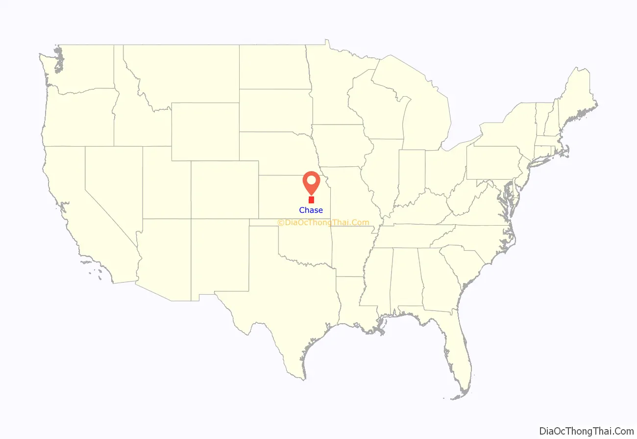
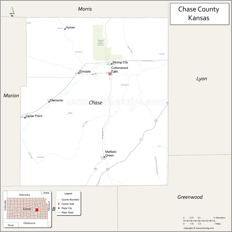
Chase County location map. Where is Chase County?
History
Early history
For many millennia, the Great Plains of North America was inhabited by nomadic Native Americans. From the 16th century to 18th century, the Kingdom of France claimed ownership of large parts of North America. In 1762, after the French and Indian War, France secretly ceded New France to Spain, per the Treaty of Fontainebleau. In 1802, Spain returned most of the land to France, but keeping title to about 7,500 square miles.
In 1803, most of the land for modern day Kansas was acquired by the United States from France as part of the 828,000 square mile Louisiana Purchase for 2.83 cents per acre. In 1848, after the Mexican–American War, the Treaty of Guadalupe Hidalgo with Spain brought into the United States all or part of land for ten future states, including southwest Kansas. In 1854, the Kansas Territory was organized, then in 1861 Kansas became the 34th U.S. state.
19th century
In 1806, Zebulon Pike led the Pike Expedition westward from St Louis, Missouri, of which part of their journey followed the Cottonwood River through modern Chase County.
In 1859, Chase County was established within the Kansas Territory.
In 1871, the Atchison, Topeka and Santa Fe Railway extended a main line from Emporia to Newton. In 1887, Atchison, Topeka and Santa Fe Railway built a branch line from Neva (3 miles west of Strong City) to Superior, Nebraska. This branch line connected Strong City, Neva, Rockland, Diamond Springs, Burdick, Lost Springs, Jacobs, Hope, Navarre, Enterprise, Abilene, Talmage, Manchester, Longford, Oak Hill, Miltonvale, Aurora, Huscher, Concordia, Kackley, Courtland, Webber, Superior. At some time, the line from Neva to Lost Springs was pulled but the right of way has not been abandoned. This branch line was originally called “Strong City and Superior line” but later the name was shortened to the “Strong City line”. In 1996, the Atchison, Topeka and Santa Fe Railway merged with Burlington Northern Railroad and renamed to the current BNSF Railway.
The south-western border one mile “notch” into Marion County was established under unusual circumstances. A murder had occurred and Marion County didn’t want to have the trial, so a section one mile wide and eighteen miles long was permanently ceded to Chase County to ensure the murder had occurred there.
20th century
In 1931, Notre Dame coach Knute Rockne died in a plane crash a few miles southwest of Bazaar, in Chase County, Kansas.
In 1991, the county was the subject of the book: PrairyErth: (A Deep Map).
In 1996, the Tallgrass Prairie National Preserve was established in the county.
Historical markers
- Landmark of Distinction – The Chase County Courthouse.
- Chase County and The Bluestem Pasture Region of Kansas.
- The Bluestem Pasture Region of Kansas.
- W. B. Strong Memorial Railroad Park.
Historical maps
1891 Atchison, Topeka & Santa Fe Railway route map from Grain Dealers and Shippers Gazetteer.
1893 Railroad Map.
1900-1905 Atchison, Topeka & Santa Fe Railway route map of regular stops
1914 railroad map.
2000 Kansas population map.
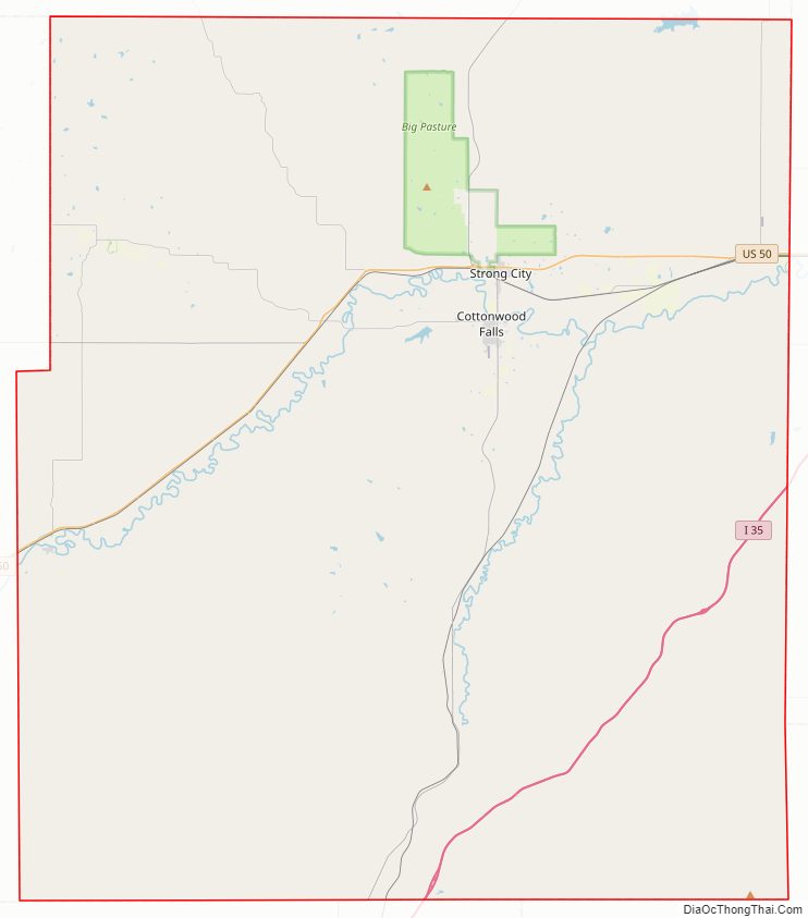
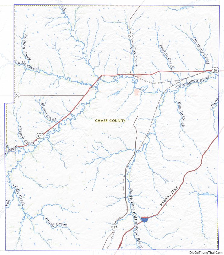
Chase County Road Map
Geography
According to the U.S. Census Bureau, the county has a total area of 778 square miles (2,020 km), of which 773 square miles (2,000 km) is land and 4.7 square miles (12 km) (0.6%) is water.
Chase County is centrally located in the eastern half of the state in the Flint Hills geologic region. It’s located in the Neosho River drainage basin.
Adjacent counties
- Morris County (north)
- Lyon County (east)
- Greenwood County (southeast)
- Butler County (southwest)
- Marion County (west)
National protected area
- Tallgrass Prairie National Preserve
Major highways
Sources: National Atlas, U.S. Census Bureau
- Interstate 35 All of I-35 in Chase County is part of the Kansas Turnpike and inaccessible to the general public from within the county. The closest access points are via U.S. Route 50 in Emporia or Kansas Highway 177 in Cassoday. There is a private interchange located southeast of Bazaar for loading cattle. The overpass names the interchange the “Bazaar Cattle Crossing”.
- U.S. Route 50
- K-150
- K-177
Chase County Topographic Map
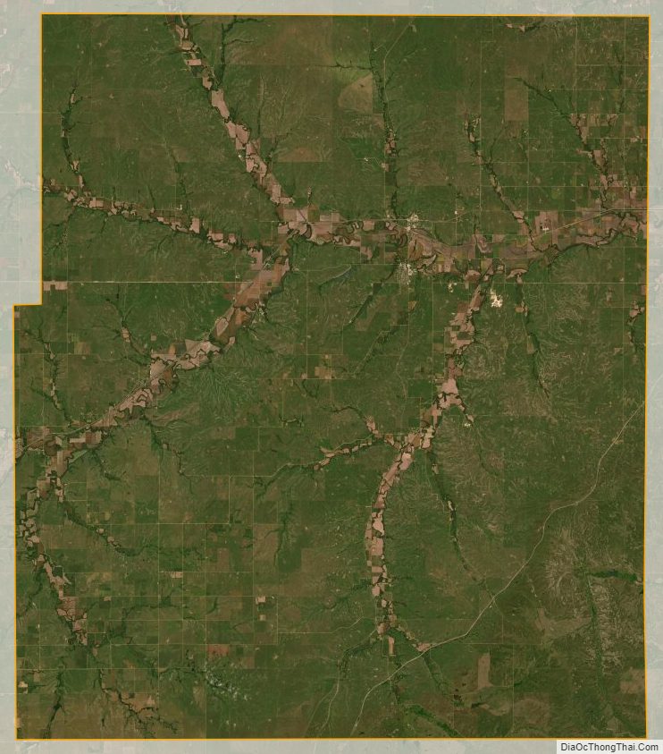
Chase County Satellite Map
Chase County Outline Map