Macon County is a county located in the U.S. state of Tennessee As of the 2020 census, the population was 25,216. Its county seat is Lafayette. Macon County is part of the Nashville-Davidson–Murfreesboro–Franklin, TN Metropolitan Statistical Area.
| Name: | Macon County |
|---|---|
| FIPS code: | 47-111 |
| State: | Tennessee |
| Founded: | 1842 |
| Named for: | Nathaniel Macon |
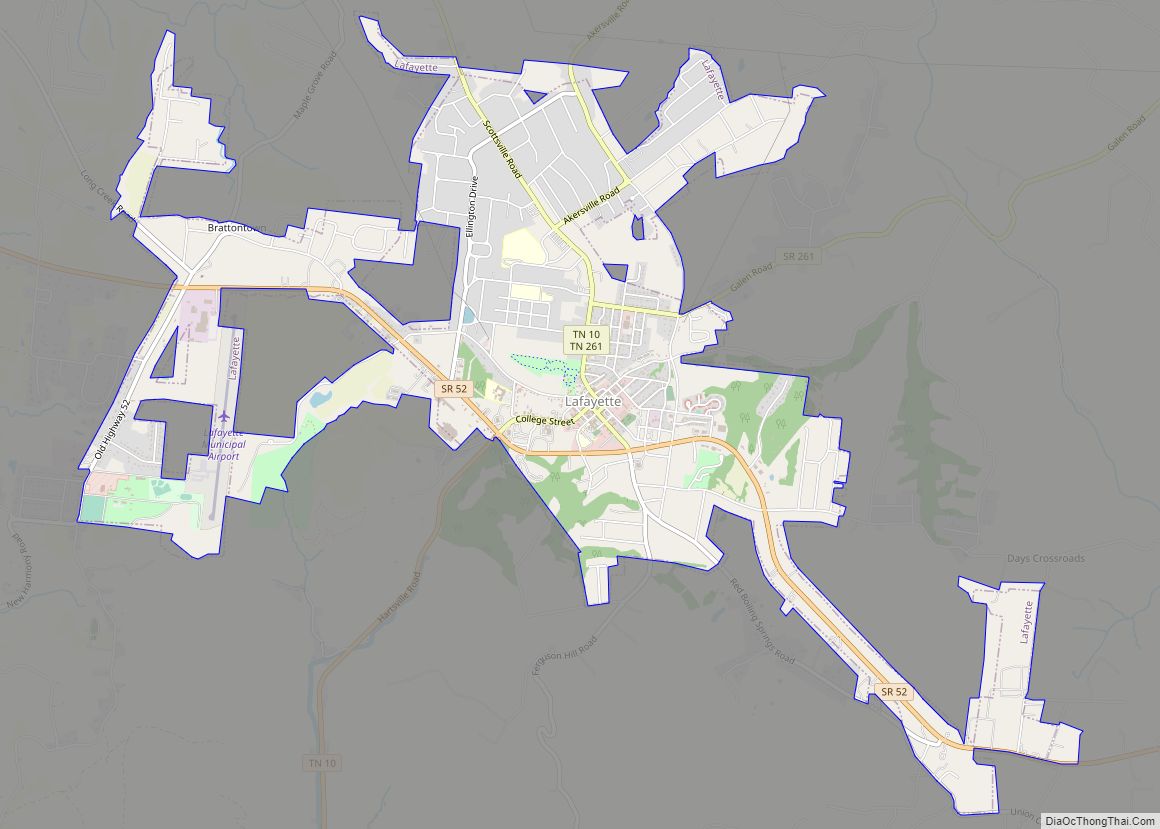
| Seat: | Lafayette |
| Largest city: | Lafayette |
| Total Area: | 307 sq mi (800 km²) |
| Land Area: | 307 sq mi (800 km²) |
| Total Population: | 25,216 |
| Population Density: | 72/sq mi (28/km²) |
| Time zone: | UTC−6 (Central) |
| Summer Time Zone (DST): | UTC−5 (CDT) |
| Website: | maconcountytn.gov |
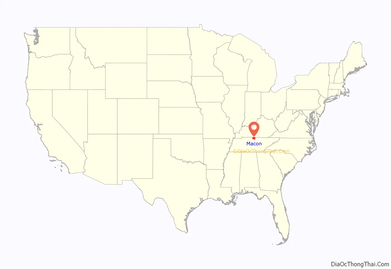
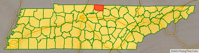
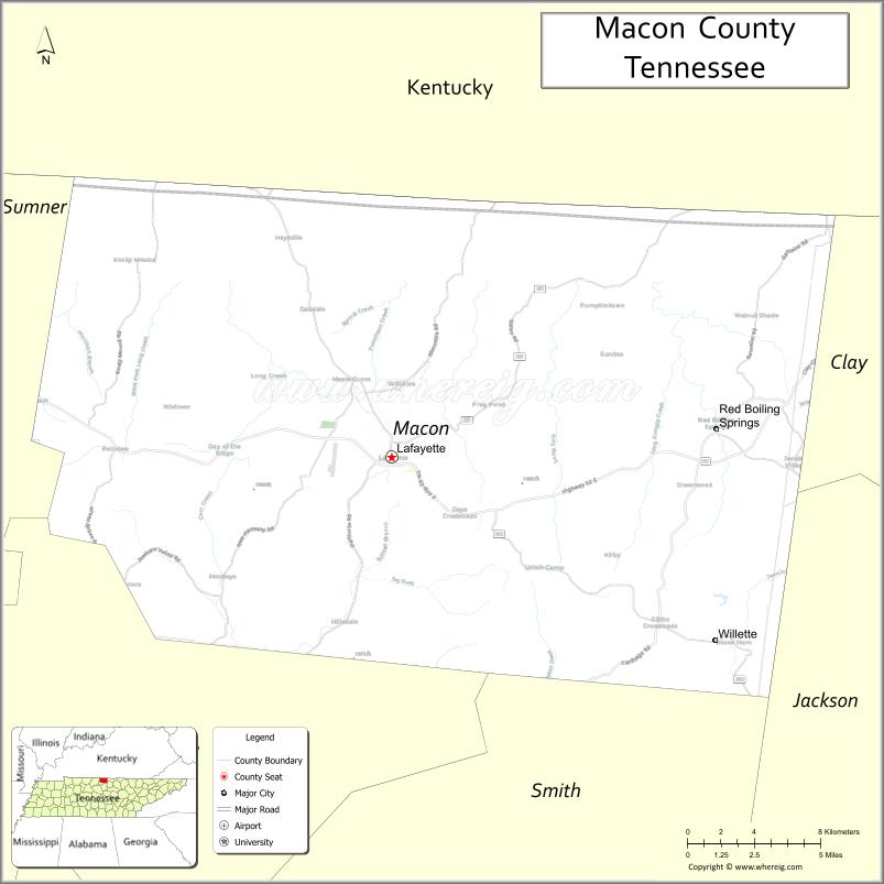
Macon County location map. Where is Macon County?
History
Macon County was formed in 1842 from parts of Smith and Sumner counties. It was named in honor of the late Revolutionary War veteran and United States Senator, Nathaniel Macon. The county seat was named in honor of the Marquis de Lafayette.
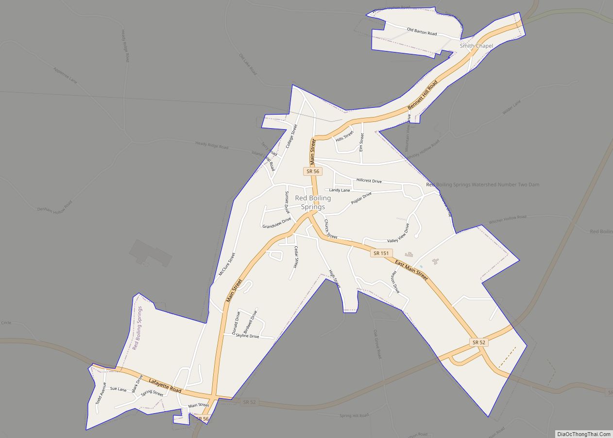
The county’s second-largest city, Red Boiling Springs, thrived as a mineral springs resort in the late 19th and early 20th centuries. Three hotels from this period– the Donoho Hotel, the Thomas House Hotel (previously the Cloyd Hotel), and the Armour’s Hotel (previously the Counts Hotel)– are still open, though only the Armour’s still offers mineral water treatments.
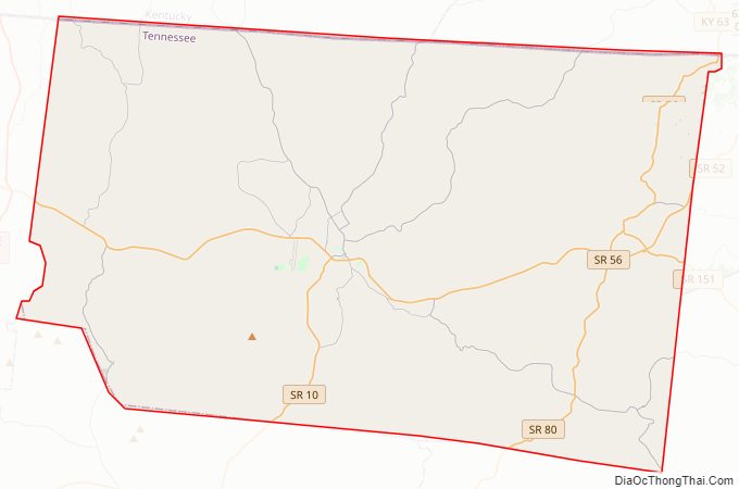
Macon County Road Map
Geography
According to the U.S. Census Bureau, the county has a total area of 307 square miles (800 km), of which 307 square miles (800 km) is land and 0.1 square miles (0.26 km) (0.03%) is water. The county is located amidst the northeastern Highland Rim, and is generally rugged and hilly.
Adjacent Counties
- Monroe County, Kentucky (northeast)
- Clay County (east)
- Jackson County (southeast)
- Smith County (south)
- Trousdale County (southwest)
- Sumner County (west)
- Allen County, Kentucky (northwest)
Macon County Topographic Map
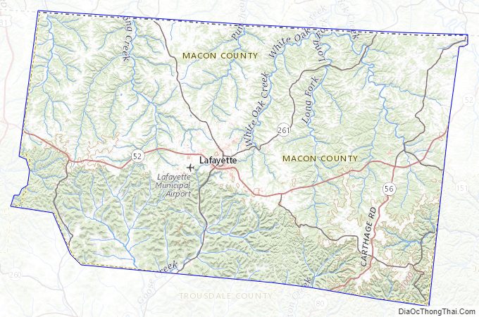
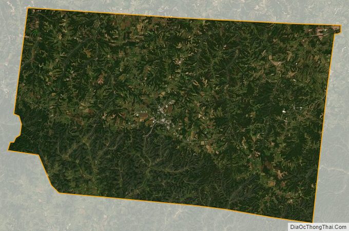
Macon County Satellite Map
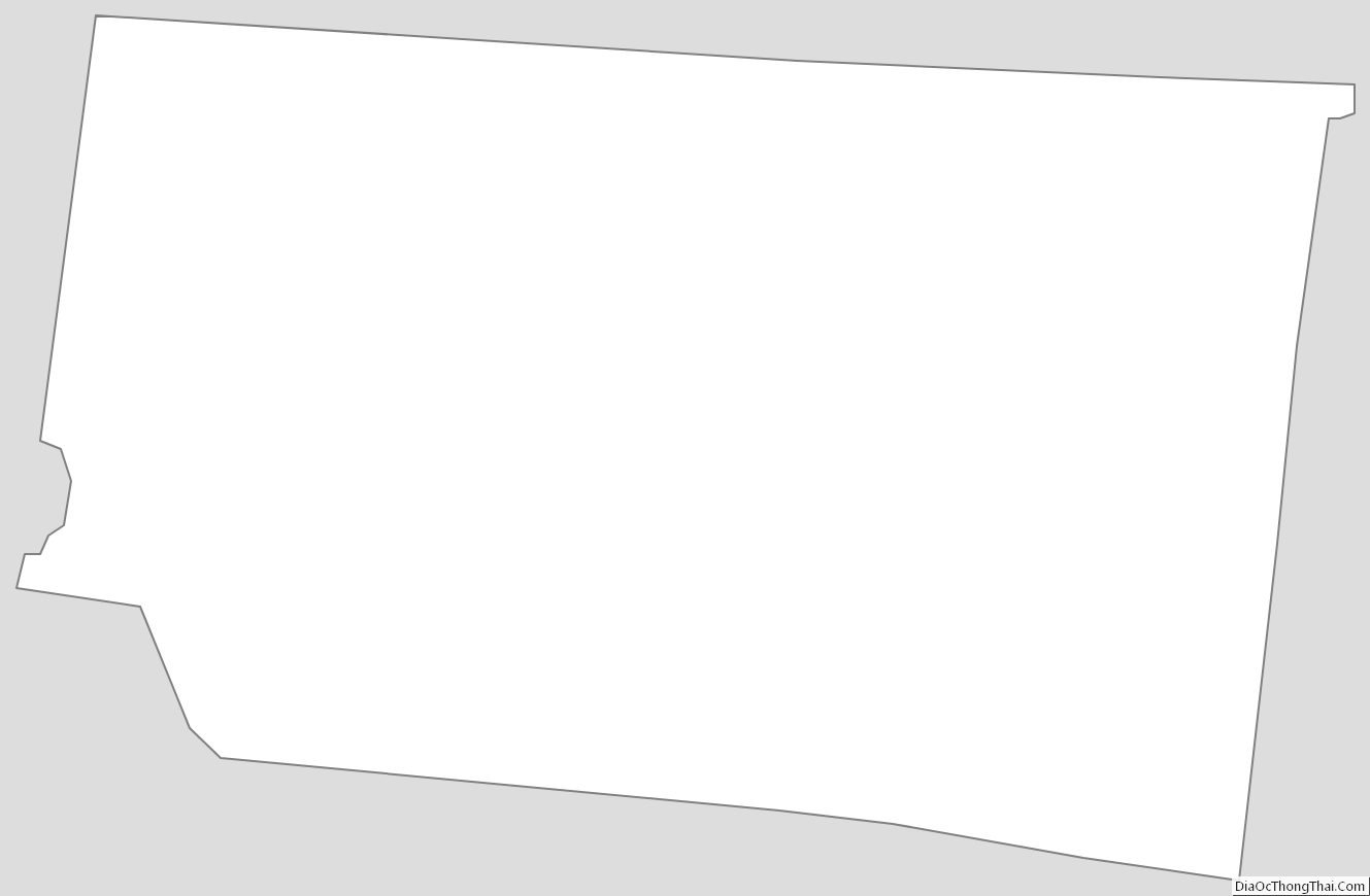
Macon County Outline Map