Madison County is a county located in the central part of the U.S. state of Kentucky. At the 2020 census, its population was 92,701. Its county seat is Richmond. The county is named for Virginia statesman James Madison, who later became the fourth President of the United States.
The county is part of the Richmond-Berea, KY Micropolitan Statistical Area which is also included in the Lexington–Fayette–Richmond–Frankfort, KY Combined Statistical Area.
Madison County is considered a moist county, meaning that although the county prohibits the sale of alcoholic beverages (and is thus a dry county), it contains a city where retail alcohol sales are allowed. Nevertheless, two of the county’s 19 precincts are completely dry. Alcohol can also be sold by the drink in Berea, Richmond, and at Arlington and The Bull golf clubs.
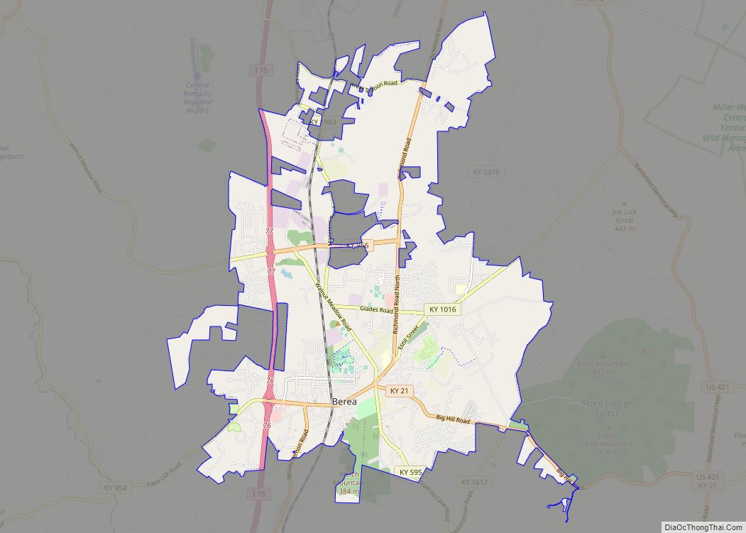
Madison County is home to Eastern Kentucky University, Berea College, and historic Boone Tavern. Famous pioneer Daniel Boone lived in Madison County and built Fort Boonesborough, now a state historic site.
| Name: | Madison County |
|---|---|
| FIPS code: | 21-151 |
| State: | Kentucky |
| Founded: | December 15, 1785 |
| Named for: | James Madison |
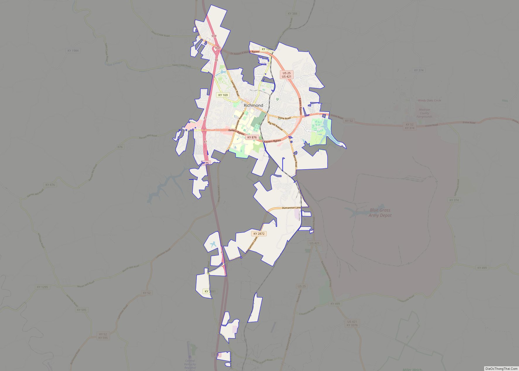
| Seat: | Richmond |
| Largest city: | Richmond |
| Total Area: | 443 sq mi (1,150 km²) |
| Land Area: | 437 sq mi (1,130 km²) |
| Total Population: | 92,701 |
| Population Density: | 210/sq mi (81/km²) |
| Time zone: | UTC−5 (Eastern) |
| Summer Time Zone (DST): | UTC−4 (EDT) |
| Website: | www.madisoncountyky.us |
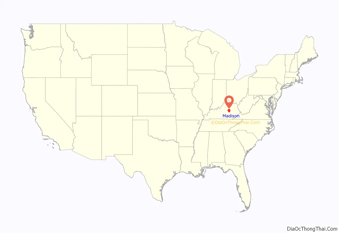
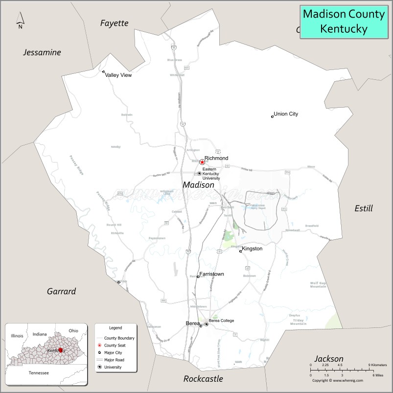
Madison County location map. Where is Madison County?
History
Indian trader John Findley, Daniel Boone, and four others first came into the area that is now Madison County in 1769 on a hunting and exploring expedition. In 1774, the Transylvania Company, led by Judge Richard Henderson of North Carolina, purchased 20,000,000 acres (8,100,000 ha) of land west of the Appalachians (including present-day Madison County) from the Cherokee Nation. Daniel Boone was hired to cut a trail through the Cumberland Gap and establish a settlement on the Kentucky River. The settlement at Fort Boonesborough began in April 1775.
In 1785, Madison County was established from a portion of Lincoln County, Virginia.
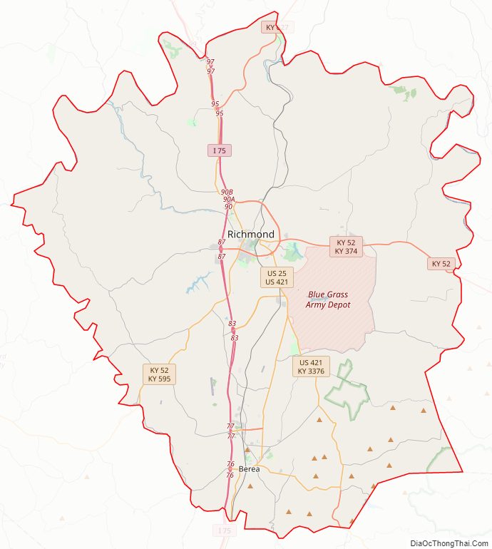
Madison County Road Map
Geography
According to the United States Census Bureau, the county has a total area of 443 square miles (1,150 km), of which 437 square miles (1,130 km) is land and 6.0 square miles (16 km) (1.3%) is water.
Major highways
- Interstate 75
- U.S. 25
- U.S. 421
- KY 52
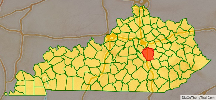
Adjacent counties
- Fayette County (north)
- Clark County (northeast)
- Estill County (east)
- Jackson County (southeast)
- Rockcastle County (south)
- Garrard County (southwest)
- Jessamine County (northwest)
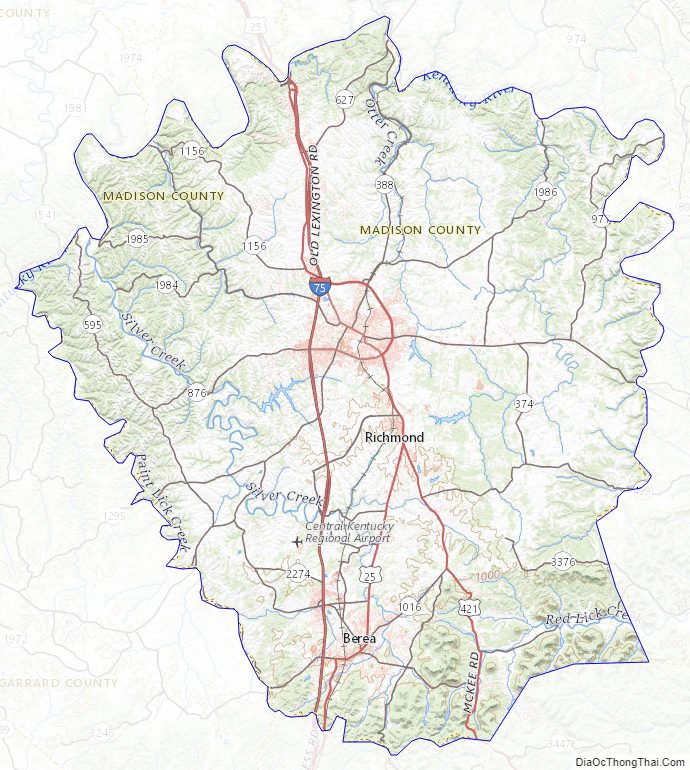
Madison County Topographic Map
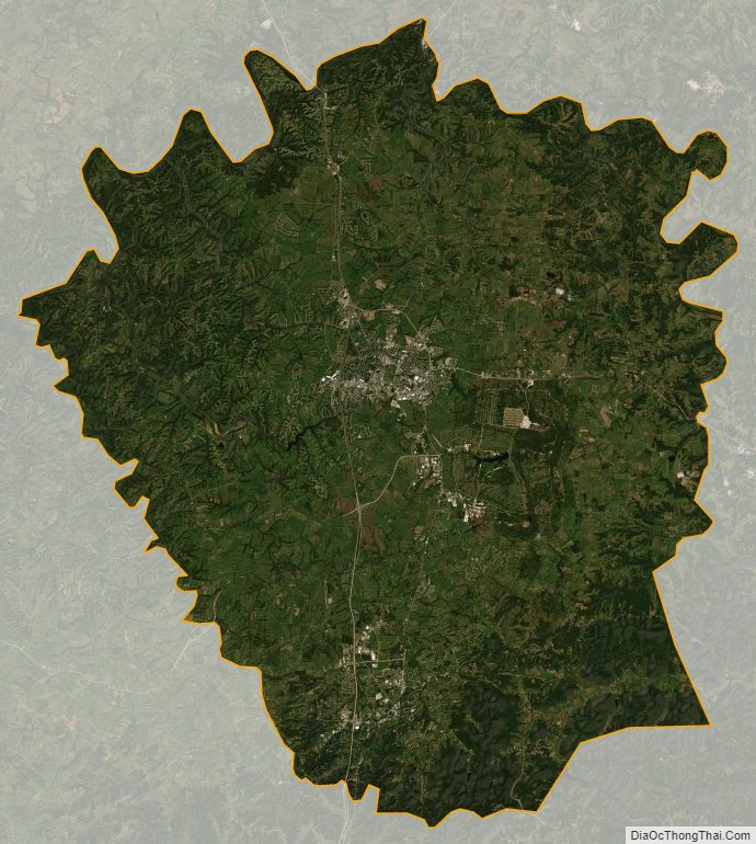
Madison County Satellite Map
Madison County Outline Map