Mason County is a county in the U.S. state of Illinois. According to the 2020 census, it had a population of 13,086. Its county seat is Havana. The county is named in honor of George Mason, a member of the Virginia legislature who campaigned for the adoption of the United States Bill of Rights.
| Name: | Mason County |
|---|---|
| FIPS code: | 17-125 |
| State: | Illinois |
| Founded: | 1841 |
| Named for: | George Mason |
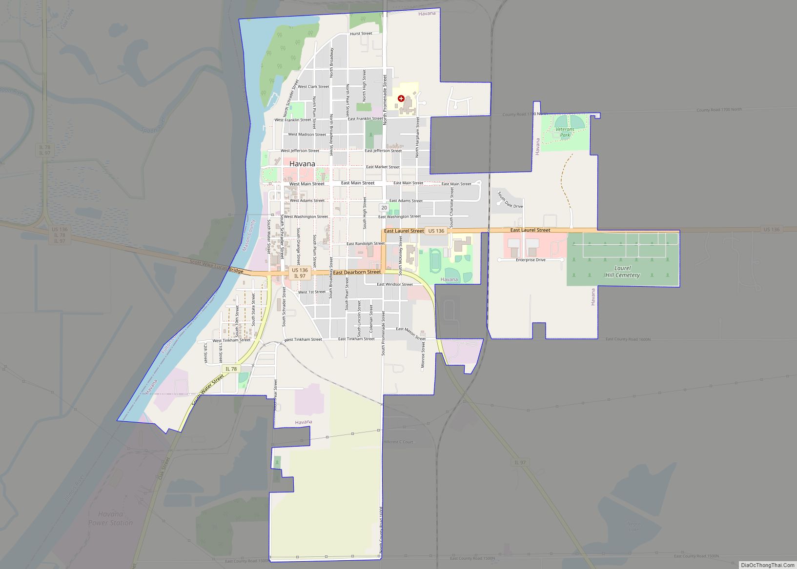
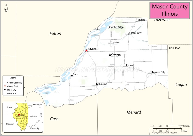
| Seat: | Havana |
| Largest city: | Havana |
| Total Area: | 563 sq mi (1,460 km²) |
| Land Area: | 539 sq mi (1,400 km²) |
| Total Population: | 13,086 |
| Population Density: | 23/sq mi (9.0/km²) |
| Time zone: | UTC−6 (Central) |
| Summer Time Zone (DST): | UTC−5 (CDT) |
| Website: | www.masoncountyil.org |
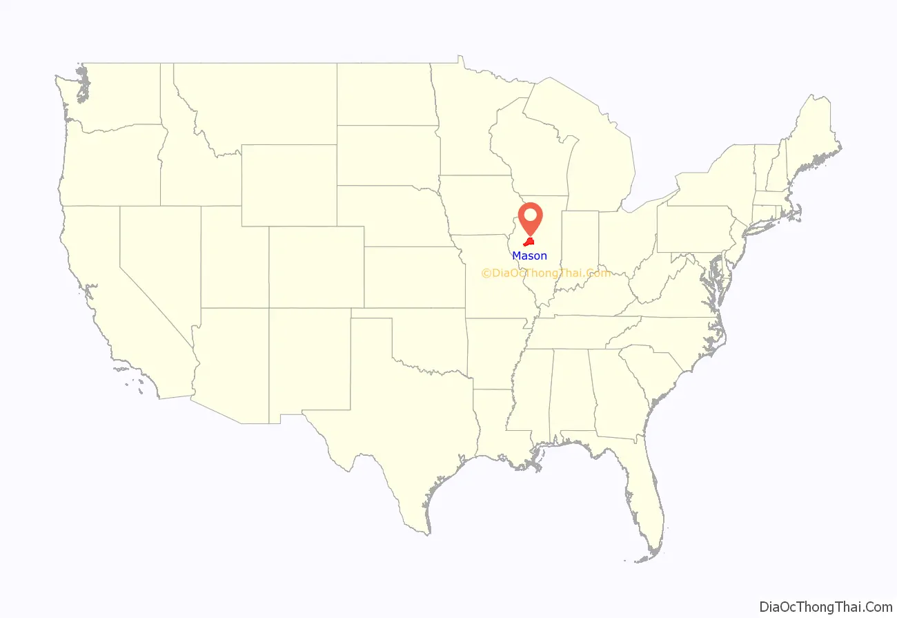
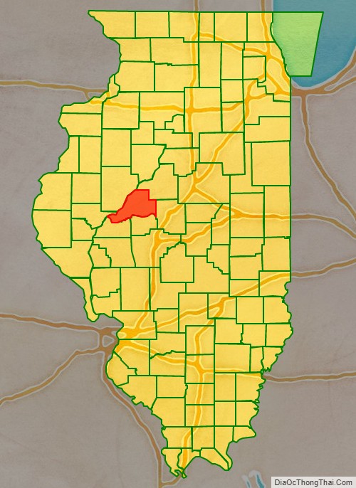
Mason County location map. Where is Mason County?
History
Mason County was created in 1841 out of portions of Tazewell and Menard counties.
Mason County at the time of its creation in 1841
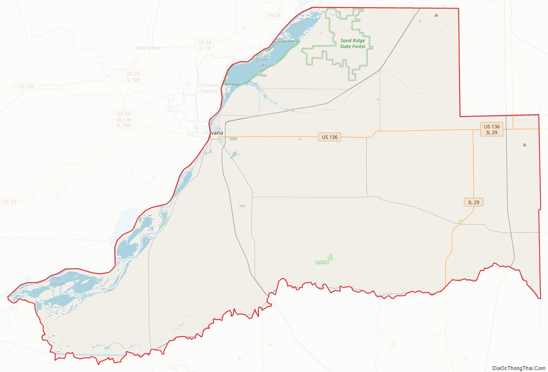
Mason County Road Map
Geography
According to the U.S. Census Bureau, the county has an area of 563 square miles (1,460 km), of which 539 square miles (1,400 km) is land and 24 square miles (62 km) (4.3%) is water.
Mason County is bound on the south by the Sangamon River, and on the west by the Illinois River. These rivers join at the county’s southwest tip.
The soil covering much of Mason County is very sandy. This was formed during the melting of the Wisconsin Glacier about 10,000 years ago. Meltwater from the glacier deposited large amounts of sand in a delta region near at the junction of the Sangamon and Illinois Rivers.
The sandy soil does not hold water well, quickly exposing crops to drought conditions as the water table drops during periods of low precipitation. However, the soil is very good for growing vegetables that are otherwise not common in Illinois. Modern irrigation has made this a highly productive agricultural area.
A sand wetland on the Illinois River is managed by the U.S. Fish and Wildlife Service as the Chautauqua National Wildlife Refuge.
Climate and weather
In recent years, average temperatures in the county seat of Havana have ranged from a low of 14 °F (−10 °C) in January to a high of 88 °F (31 °C) in July, although a record low of −30 °F (−34 °C) was recorded in January 1999 and a record high of 106 °F (41 °C) was recorded in July 1983. Average monthly precipitation ranged from 1.85 inches (47 mm) in January to 4.43 inches (113 mm) in May.
Major highways
- U.S. Highway 136
- Illinois Route 10
- Illinois Route 29
- Illinois Route 78
- Illinois Route 97
Adjacent counties
- Fulton County – northwest
- Tazewell County – northeast
- Logan County – southeast
- Menard County – south
- Cass County – southwest
- Schuyler County – west
National protected area
- Chautauqua National Wildlife Refuge (part)
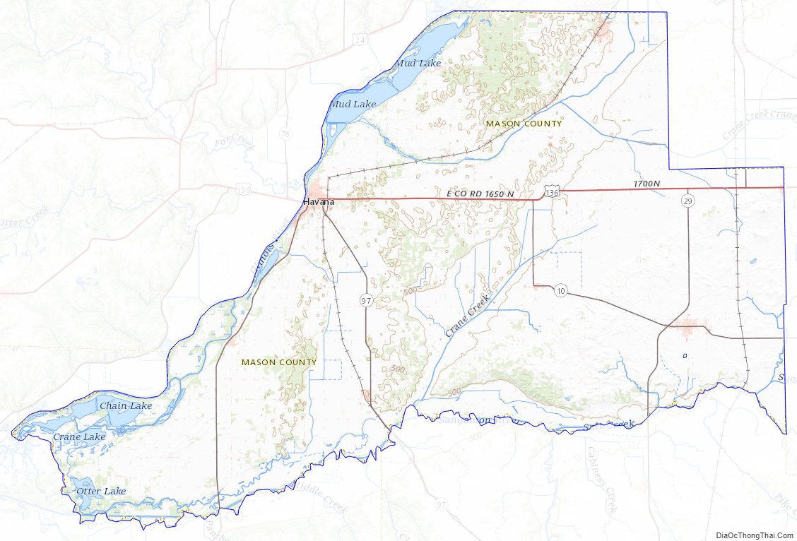
Mason County Topographic Map
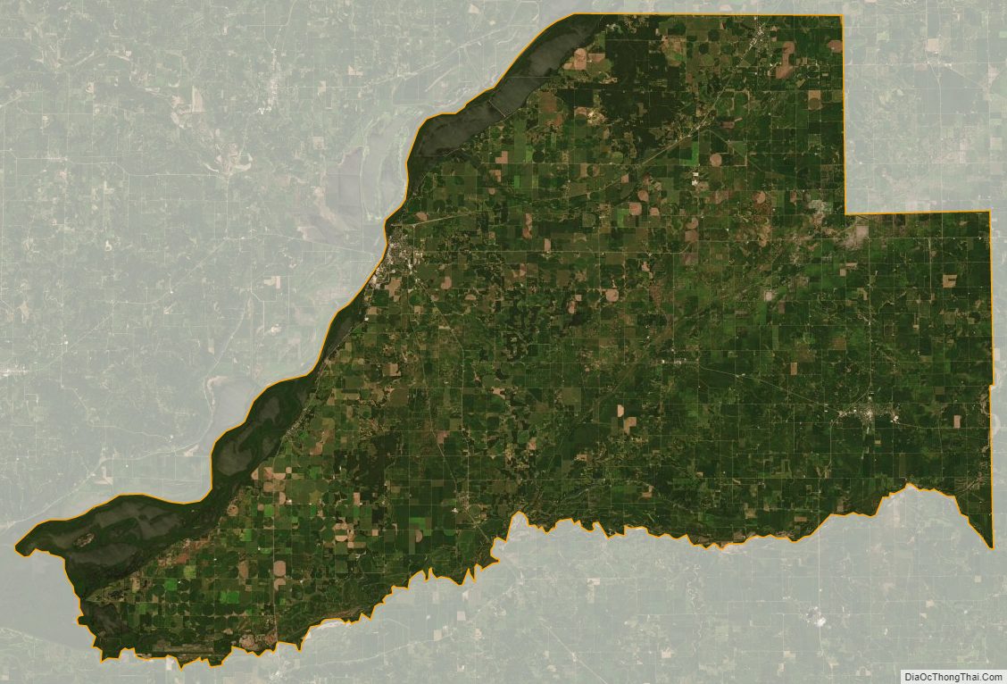
Mason County Satellite Map
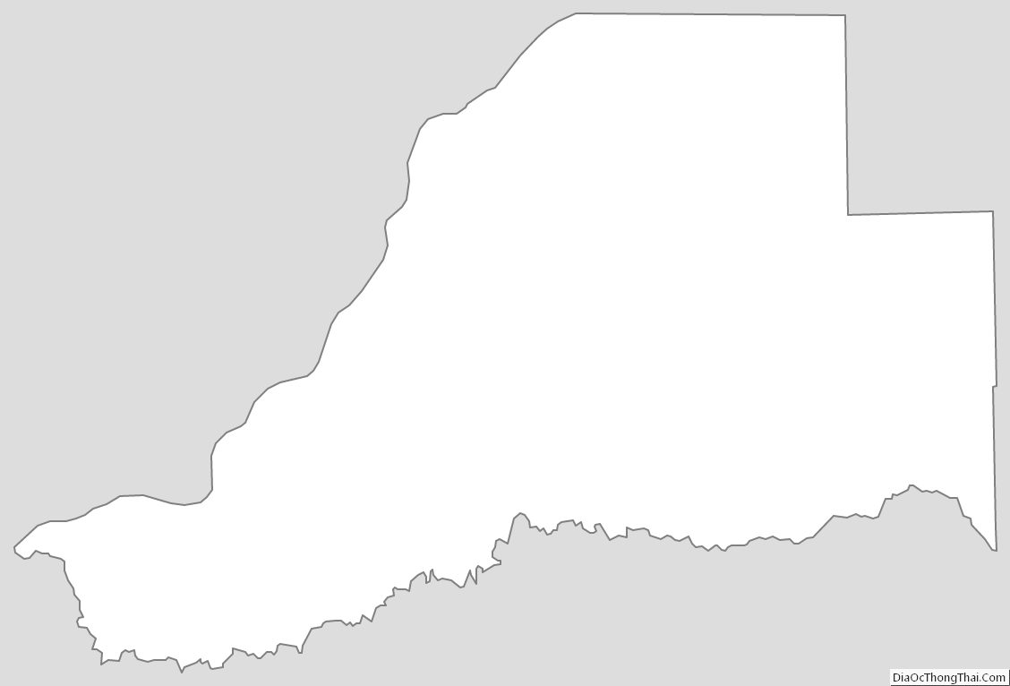
Mason County Outline Map