Massac County is a county in the U.S. state of Illinois. According to the 2020 census, it had a population of 14,169. Established in 1843 and named for a French fort founded in the 18th century, its county seat is Metropolis. Massac County is included in the Paducah, KY-IL Micropolitan Statistical Area. It is located along the Ohio River, in the portion of the state known locally as “Little Egypt”.
| Name: | Massac County |
|---|---|
| FIPS code: | 17-127 |
| State: | Illinois |
| Founded: | February 8, 1843 |
| Seat: | Metropolis |
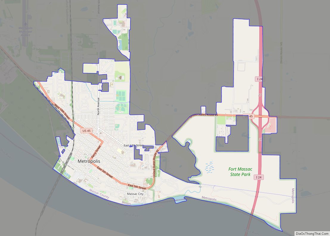
| Largest city: | Metropolis |
| Total Area: | 242 sq mi (630 km²) |
| Land Area: | 237 sq mi (610 km²) |
| Total Population: | 14,169 |
| Population Density: | 59/sq mi (23/km²) |
| Time zone: | UTC−6 (Central) |
| Summer Time Zone (DST): | UTC−5 (CDT) |
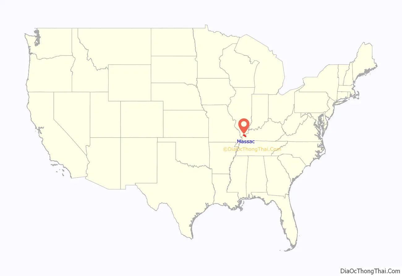
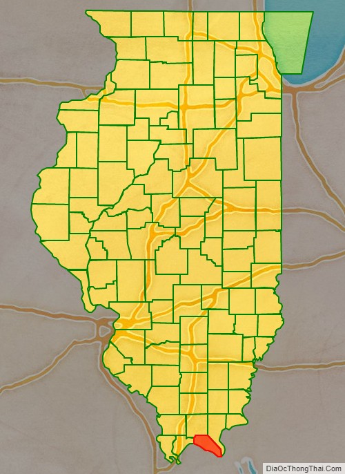
Massac County location map. Where is Massac County?
History
This area was occupied by various cultures of indigenous peoples for thousands of years before European contact. Evidence has been found of indigenous occupancy since the Archaic Period (8000 to 2000 BCE). More development took place in the Early Woodland period, such as the Adena culture (1000 to 200 BCE). Middle and Late Woodland occupancy continued to about 1000CE, before the rise of the Mississippian culture along the Mississippi River and its major tributaries. It influenced a continent-wide trading and cultural network.
The most complex and last indigenous culture was that of the Mississippian. The people at this time developed a large settlement during the period 1050CE to 1400-1450CE. At what is known as the Kincaid Site, considered a chiefdom of a stratified society, the people built a total of 19 complex earthwork mounds, including an elite burial mound, and great plaza as the monuments at the center of a large residential settlement.
This site is now operated by the state and is designated as a National Historic Landmark. The people abandoned the site about 1500, perhaps because of environmental reasons, such as running out of timber or game. No evidence has been found that any historic Native American tribes occupied the site in the centuries before European-American settlement. This did not take place until three centuries later, with most occurring 400 years later.
While this was part of the Illinois Country claimed by French explorers, this area was barely settled by their colonists. Most French colonial villages, such as Prairie du Rocher, were close to the Mississippi River. During the French and Indian War against the British, the French built a fort here in 1757. It was named Fort Massac after Claude Louis d’Espinchal, Marquis de Massiac, the French Naval Minister. Massiac is a commune in Cantal, France. The county was later named after Massac.
After the American Revolution, initially this area was settled by people from the South, who migrated along the Ohio River. Southern Illinois was given the colloquial name of “Little Egypt.” Massac County was not formally organized until February 8, 1843, when population had increased, and it was made up of territory from both Johnson and Pope counties. It was developed for agriculture.
In the mid-19th century, after the revolutions of 1848, Illinois received many German immigrants, who changed the politics of the county. They were pro-Union and the Republican Party at the time of the American Civil War and after, whereas the ethnic Southerners had favored the Confederacy and Democratic Party. The ethnic German descendants today comprise nearly one-third of the population of Massac County.
Massac County at the time of its creation in 1843
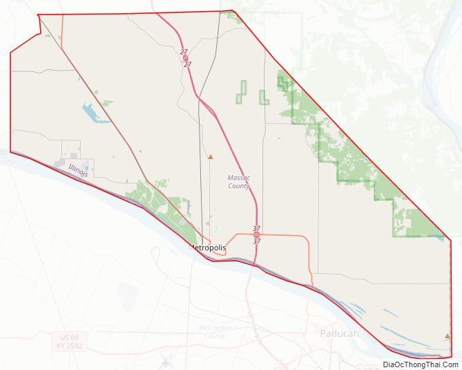
Massac County Road Map
Geography
According to the U.S. Census Bureau, the county has a total area of 242 square miles (630 km), of which 237 square miles (610 km) is land and 4.6 square miles (12 km) (1.9%) is water.
Climate and weather
In recent years, average temperatures in the county seat of Metropolis have ranged from a low of 25 °F (−4 °C) in January to a high of 90 °F (32 °C) in July, although a record low of −21 °F (−29 °C) was recorded in January 1984 and a record high of 105 °F (41 °C) was recorded in July 1999. Average monthly precipitation ranged from 3.00 inches (76 mm) in August to 4.76 inches (121 mm) in May.
Major highways
- Interstate 24
- U.S. Route 45
- Illinois Route 145
- Illinois Route 169
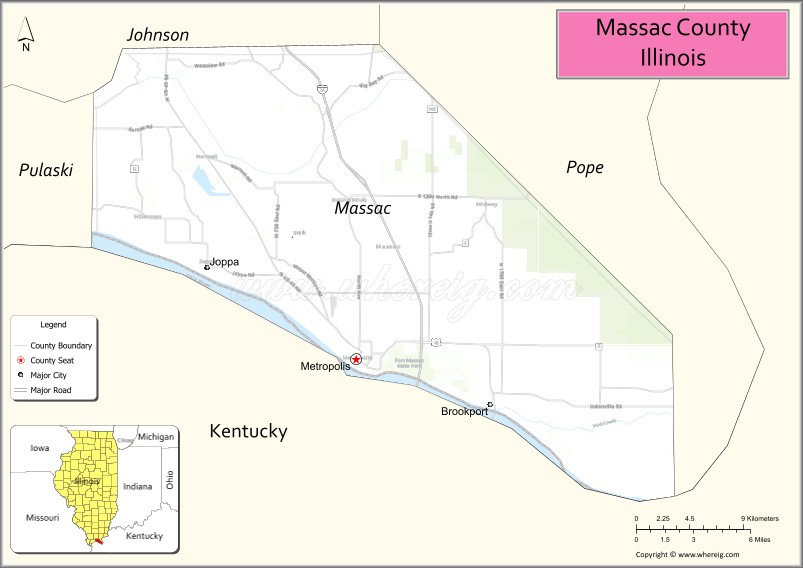
Adjacent counties
- Pope County – north
- Livingston County, Kentucky – east
- McCracken County, Kentucky – south
- Pulaski County – west
- Johnson County – northwest
National protected area
- Shawnee National Forest (part)
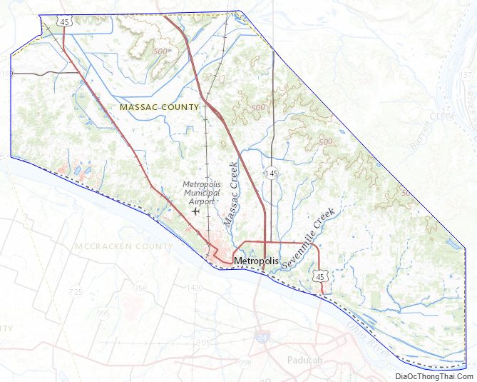
Massac County Topographic Map
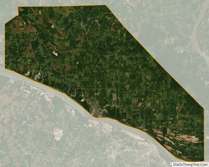
Massac County Satellite Map
Massac County Outline Map