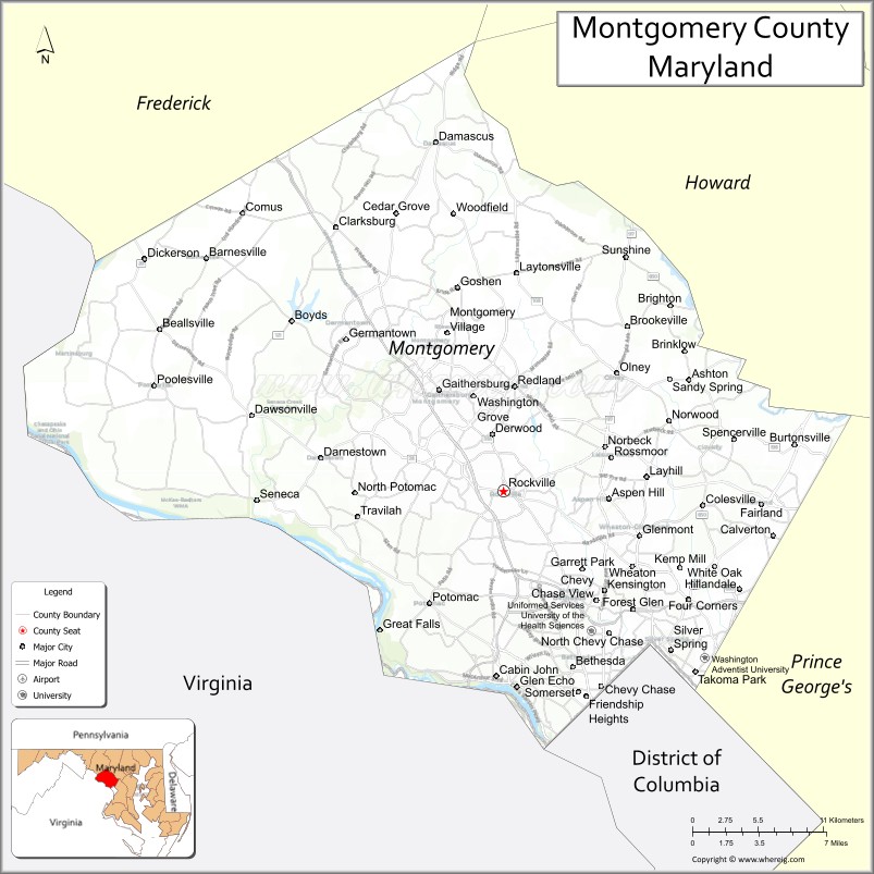
Montgomery County is the most populous county in the state of Maryland. As of the 2020 census, the county’s population was 1,062,061, increasing by 9.3% from 2010. The county seat and largest municipality is Rockville, although the census-designated place of Germantown is the most populous place within the county. Montgomery County, which adjoins Washington, D.C., is part of the Washington–Arlington–Alexandria, DC–VA–MD–WV metropolitan statistical area, which in turn forms part of the Baltimore–Washington combined statistical area. Most of the county’s residents live in unincorporated locales, of which the most urban are Silver Spring and Bethesda, although the incorporated cities of Rockville and Gaithersburg are also large population centers, as are many smaller but significant places.
The average household income in Montgomery County is among the highest in the United States. It has the highest percentage (29.2%) of residents over 25 years of age who hold post-graduate degrees. Like other inner-suburban Washington, D.C. counties, Montgomery County contains many major U.S. government offices, scientific research and learning centers, and business campuses.
| Name: | Montgomery County |
|---|---|
| FIPS code: | 24-031 |
| State: | Maryland |
| Founded: | September 6, 1776 |
| Named for: | Richard Montgomery |
| Seat: | Rockville |
| Total Area: | 506.91 sq mi (1,312.89 km²) |
| Land Area: | 493.11 sq mi (1,277.15 km²) |
| Total Population: | 1,062,061 |
| Population Density: | 2,153.80/sq mi (831.59/km²) |
| Time zone: | UTC−05:00 (Eastern [EST]) |
| Summer Time Zone (DST): | UTC−04:00 (EDT) |
| Website: | www.montgomerycountymd.gov |
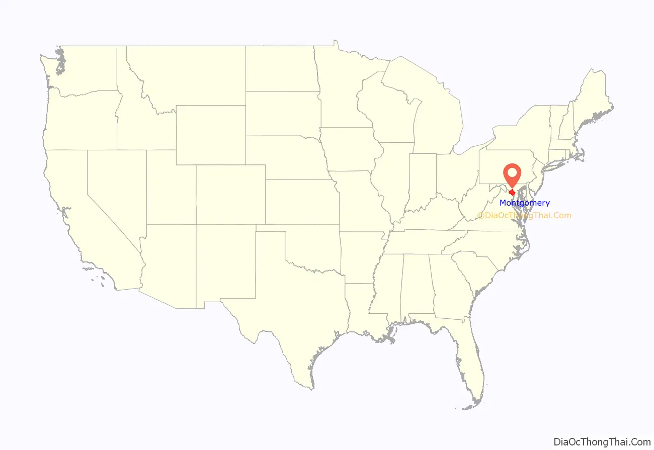
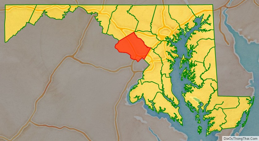
Montgomery County location map. Where is Montgomery County?
History
Prior to 1688, the first tract of land in what is now Montgomery County was granted by Charles I in a charter to the first Lord Baltimore (head of the Calvert family). Much later, the creation of Montegomery county became the goal of colonist, Thomas S. Wootton when, on August 31, 1776, he introduced a measure to form a new county from Frederick County, Maryland to aid area residents in simplifying their business affairs. The measure passed, thus creating the new political entity of Montgomery County in the Maryland Colony.
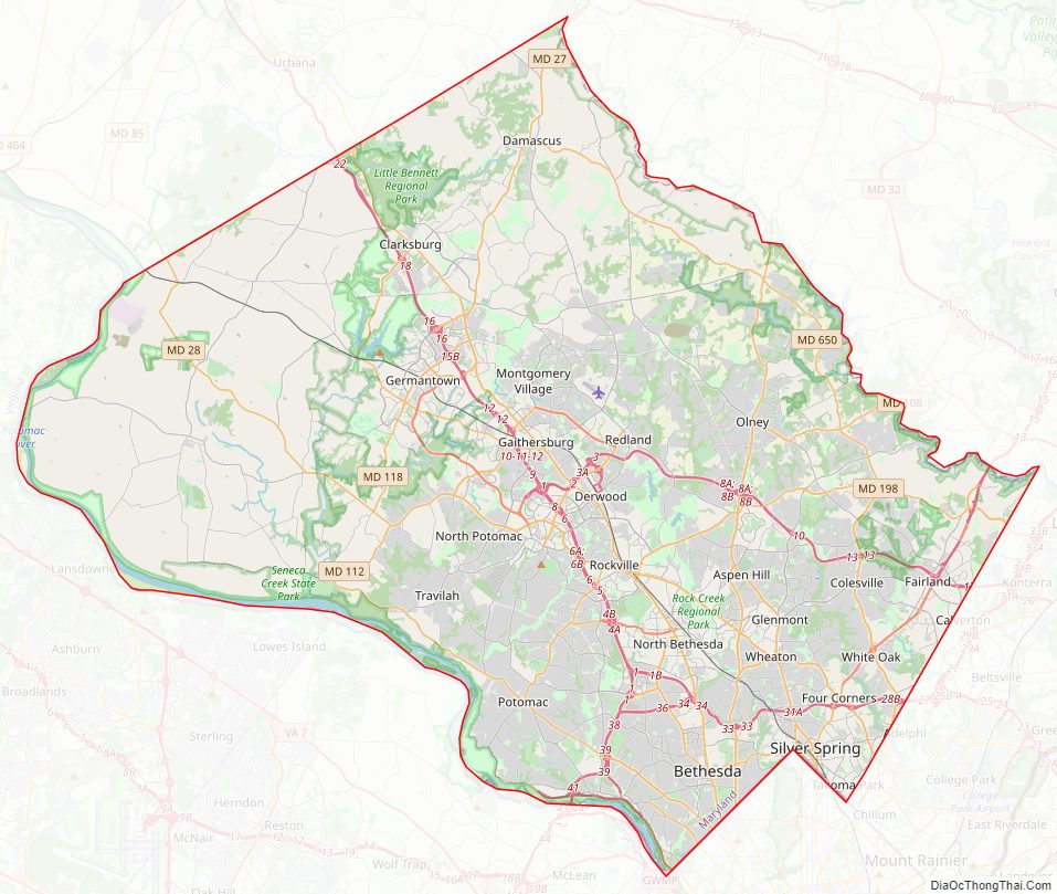
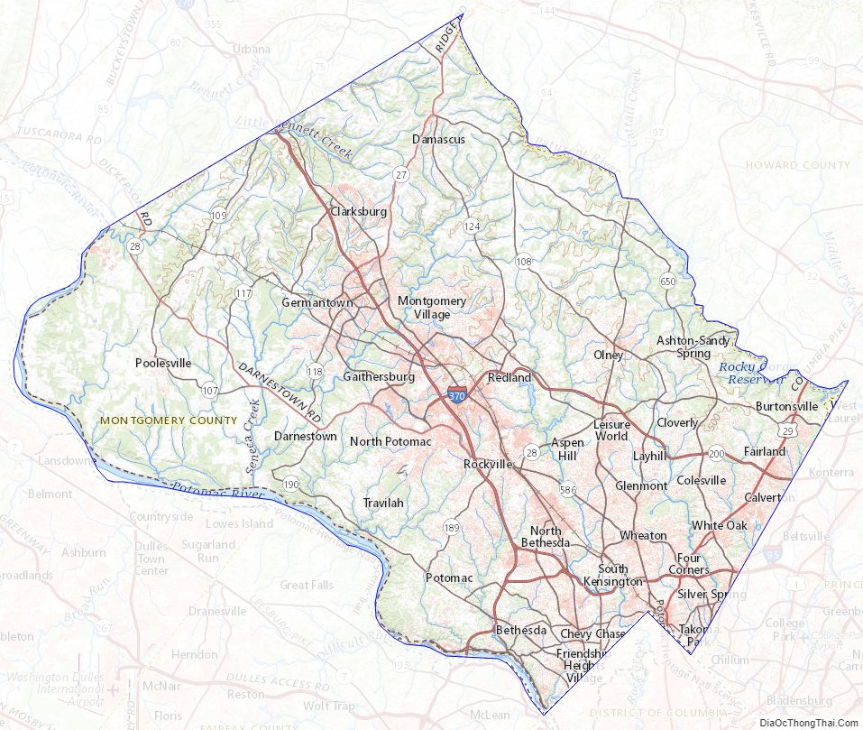
Montgomery County Road Map
Geography
According to the U.S. Census Bureau, the county has a total area of 507 square miles (1,310 km), of which 491 square miles (1,270 km) is land and 16 square miles (41 km) (3.1%) is water. Montgomery County lies entirely inside the Piedmont plateau. The topography is generally rolling. Elevations range from a low of near sea level along the Potomac River to about 875 feet in the northernmost portion of the county north of Damascus. Relief between valley bottoms and hilltops is several hundred feet.
When Montgomery County was created in 1776, its boundaries were defined as “beginning at the east side of the mouth of Rock Creek on Potowmac river [sic], and running with the said river to the mouth of Monocacy, then with a straight line to Par’s spring, from thence with the lines of the county to the beginning”.
The county’s boundary forms a sliver of land at the far northern tip of the county that is several miles long and averages less than 200 yards wide. In fact, a single house on Lakeview Drive and its yard is sectioned by this sliver into three portions, each separately contained within Montgomery, Frederick and Howard Counties. These jurisdictions and Carroll County meet at a single point at Parr’s Spring on Parr’s Ridge.
- Frederick County (northwest)
- Carroll County (north)
- Howard County (northeast)
- Prince George’s County (southeast)
- Washington, D.C. (south)
- Fairfax County, Virginia (southwest)
- Loudoun County, Virginia (west)
- Chesapeake and Ohio Canal National Historical Park (part)
- Clara Barton National Historic Site
- George Washington Memorial Parkway (part)
Montgomery County Topographic Map
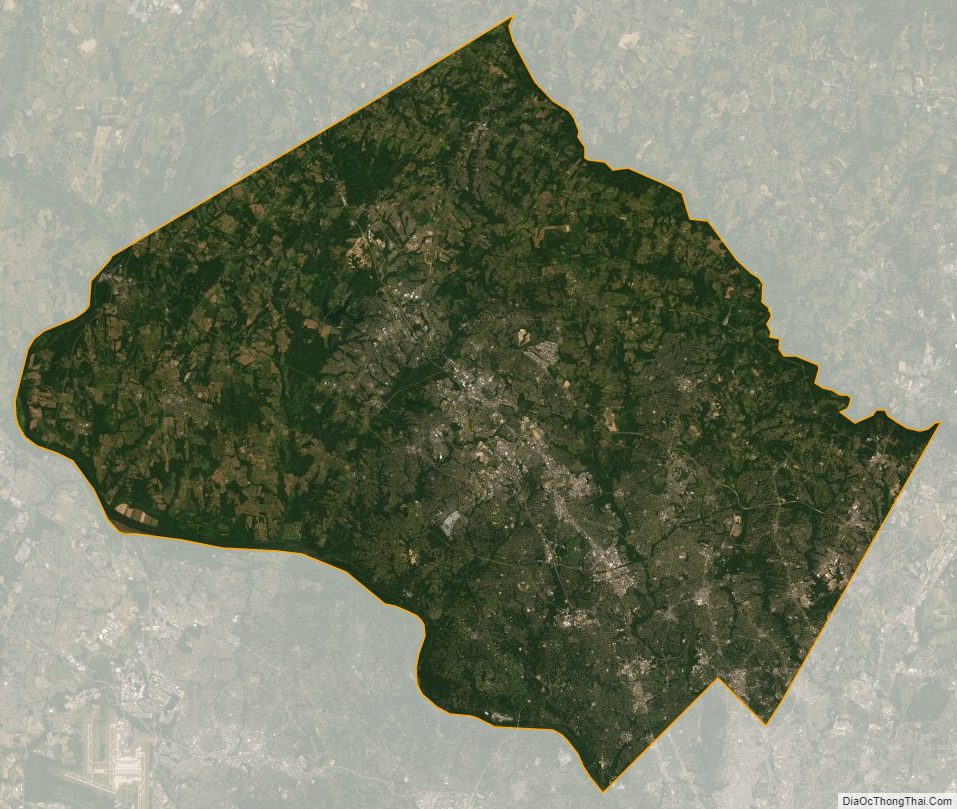
Montgomery County Satellite Map
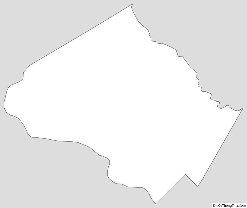
Montgomery County Outline Map