Morton County (standard abbreviation: MT) is a county in the southwestern corner of the U.S. state of Kansas. As of the 2020 census, the county population was 2,701. The largest city and county seat is Elkhart.
| Name: | Morton County |
|---|---|
| FIPS code: | 20-129 |
| State: | Kansas |
| Founded: | February 20, 1886 |
| Named for: | Oliver Morton |
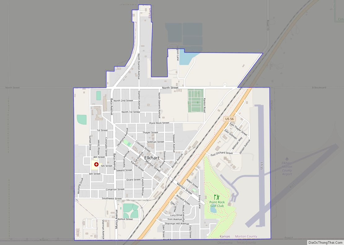
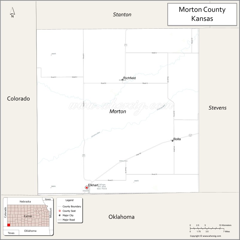
| Seat: | Elkhart |
| Largest city: | Elkhart |
| Total Area: | 730 sq mi (1,900 km²) |
| Land Area: | 730 sq mi (1,900 km²) |
| Total Population: | 2,701 |
| Population Density: | 3.7/sq mi (1.4/km²) |
| Time zone: | UTC−6 (Central) |
| Summer Time Zone (DST): | UTC−5 (CDT) |
| Website: | mtcoks.com |
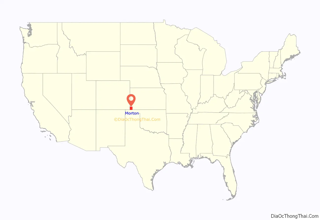
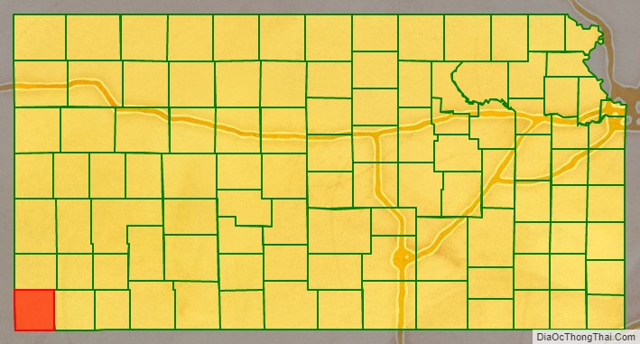
Morton County location map. Where is Morton County?
History
Early history
For many millennia, the Great Plains of North America was inhabited by nomadic Native Americans. From the 16th century to 18th century, the Kingdom of France claimed ownership of large parts of North America. In 1762, after the French and Indian War, France secretly ceded New France to Spain, per the Treaty of Fontainebleau.
19th century
In 1802, Spain returned most of the land to France, but keeping title to about 7,500 square miles. In 1803, most of the land for modern day Kansas was acquired by the United States from France as part of the 828,000 square mile Louisiana Purchase for 2.83 cents per acre.
In 1848, after the Mexican–American War, the territorial gain in the Treaty of Guadalupe Hidalgo with Mexico brought into the United States all or part of land for ten future states, including southwest Kansas.
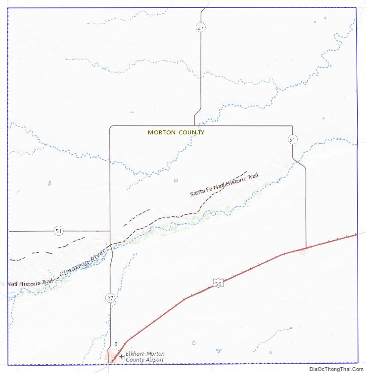
From 1821 to late 1860s, the Santa Fe Trail was active across Morton County.
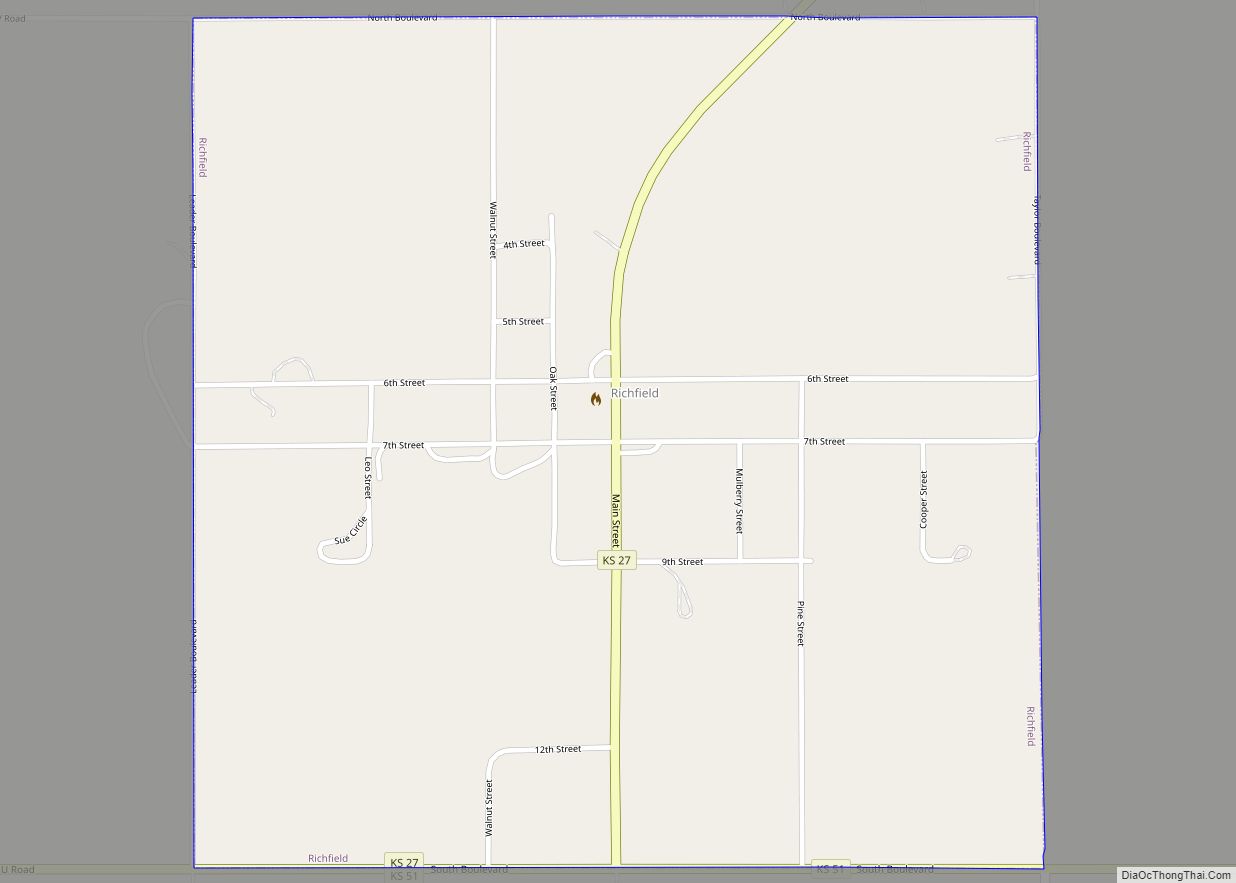
In 1854, the Kansas Territory was organized, then in 1861 Kansas became the 34th U.S. state. In 1886, Morton County was established, and named for Oliver Morton, who was a United States senator from Indiana from 1867 to 1877. In 1886, the community of Richfield was established as the county seat.
20th century
In the 1930s, the prosperity of the area was severely affected by its location within the Dust Bowl. This catastrophe intensified the economic impact of the Great Depression in the region.
In 1961, the county seat was moved from Richfield to Elkhart.
Morton County Road Map
Geography
According to the U.S. Census Bureau, the county has a total area of 730 square miles (1,900 km), of which 730 square miles (1,900 km) is land and 0.2 square miles (0.52 km) (0.03%) is water. The county is the location of the 8 Mile Corner tripoint, where Kansas borders Colorado and Oklahoma.
Major highways
- Kansas Highway 27
- Kansas Highway 51
- U.S. Highway 56
Adjacent counties
- Stanton County (north)
- Stevens County (east)
- Texas County, Oklahoma (south)
- Cimarron County, Oklahoma (southwest)
- Baca County, Colorado (west/Mountain Time border)
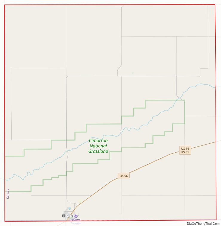
National protected area
- Cimarron National Grassland (part)
Morton County Topographic Map
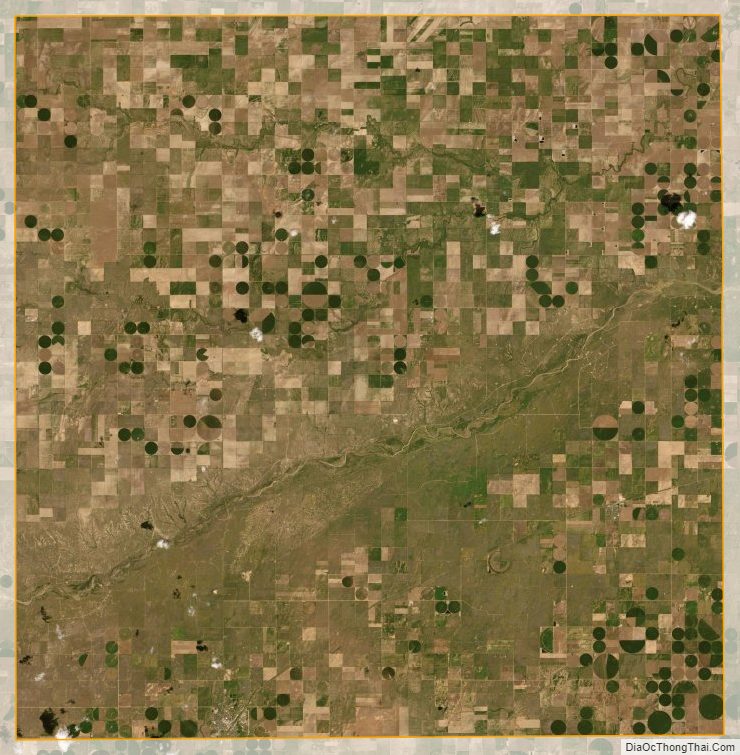
Morton County Satellite Map
Morton County Outline Map