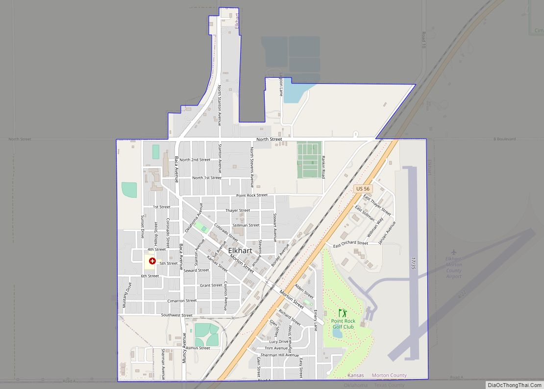
Elkhart is a city in and the county seat of Morton County, Kansas, United States. As of the 2020 census, the population of the city was 1,888. The south edge of the city is the Kansas-Oklahoma state border, and the city is 8.5 miles (13.7 km) from the Kansas-Colorado border.
| Name: | Elkhart city |
|---|---|
| LSAD Code: | 25 |
| LSAD Description: | city (suffix) |
| State: | Kansas |
| County: | Morton County |
| Founded: | 1913 |
| Incorporated: | 1913 |
| Elevation: | 3,586 ft (1,093 m) |
| Total Area: | 2.05 sq mi (5.32 km²) |
| Land Area: | 2.05 sq mi (5.32 km²) |
| Water Area: | 0.00 sq mi (0.00 km²) |
| Total Population: | 1,888 |
| Population Density: | 920/sq mi (350/km²) |
| ZIP code: | 67950 |
| Area code: | 620 |
| FIPS code: | 2020350 |
Online Interactive Map
Click on ![]() to view map in "full screen" mode.
to view map in "full screen" mode.
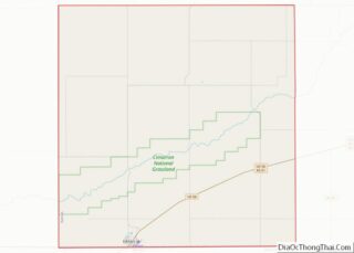
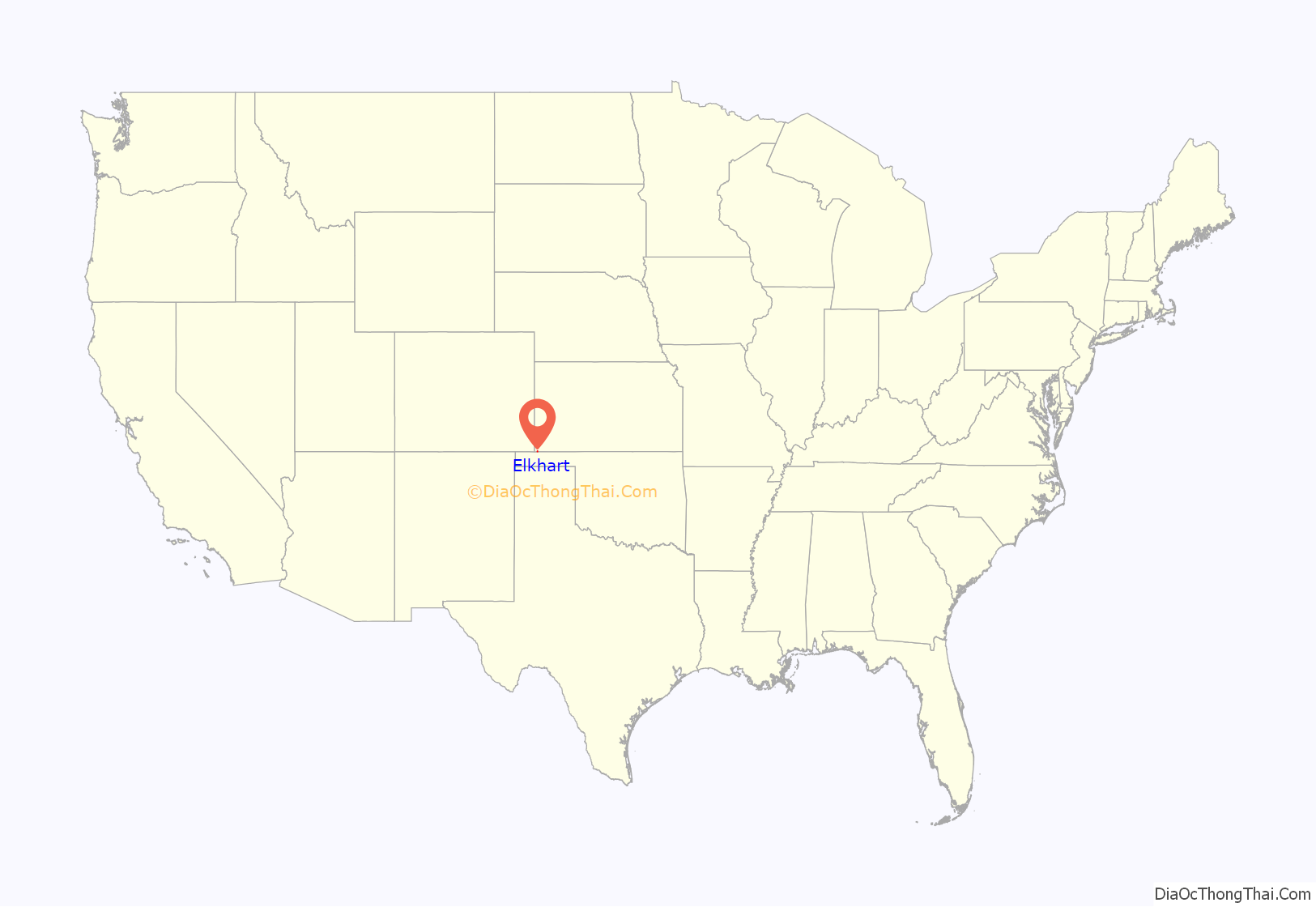
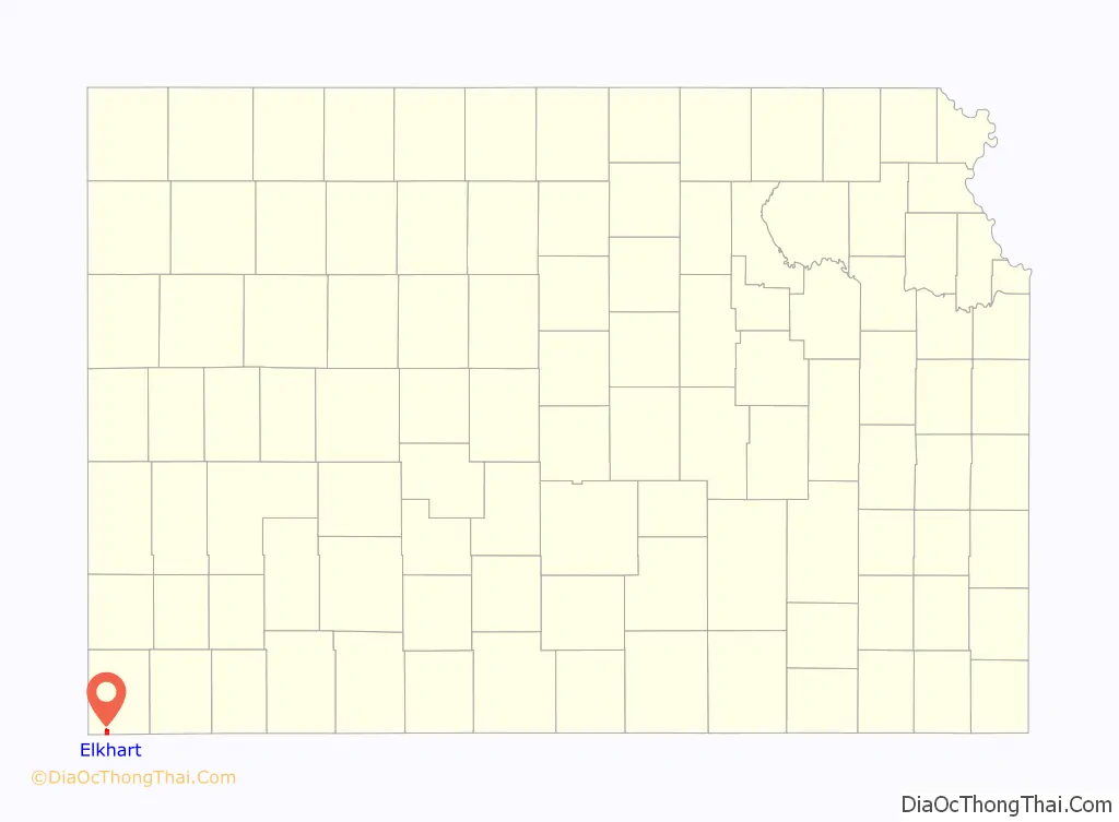
Elkhart location map. Where is Elkhart city?
History
Elkhart was founded in 1913, and was named after Elkhart, Indiana.
Elkhart was the starting point of the Elkhart and Santa Fe Railway. This line, both leased to and a wholly owned subsidiary of the Atchison, Topeka and Santa Fe Railway, was built in 1925 to Felt, Oklahoma, and extended into New Mexico in 1932; but, was abandoned in 1942.
In 1961, the county seat was moved from Richfield to Elkhart.
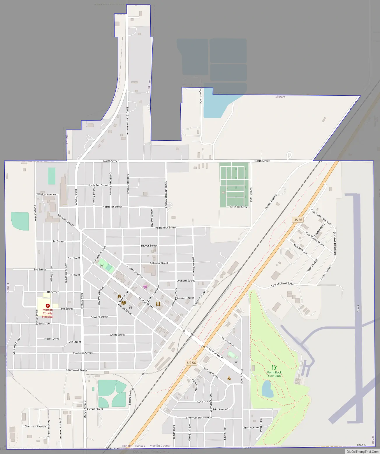
Elkhart Road Map
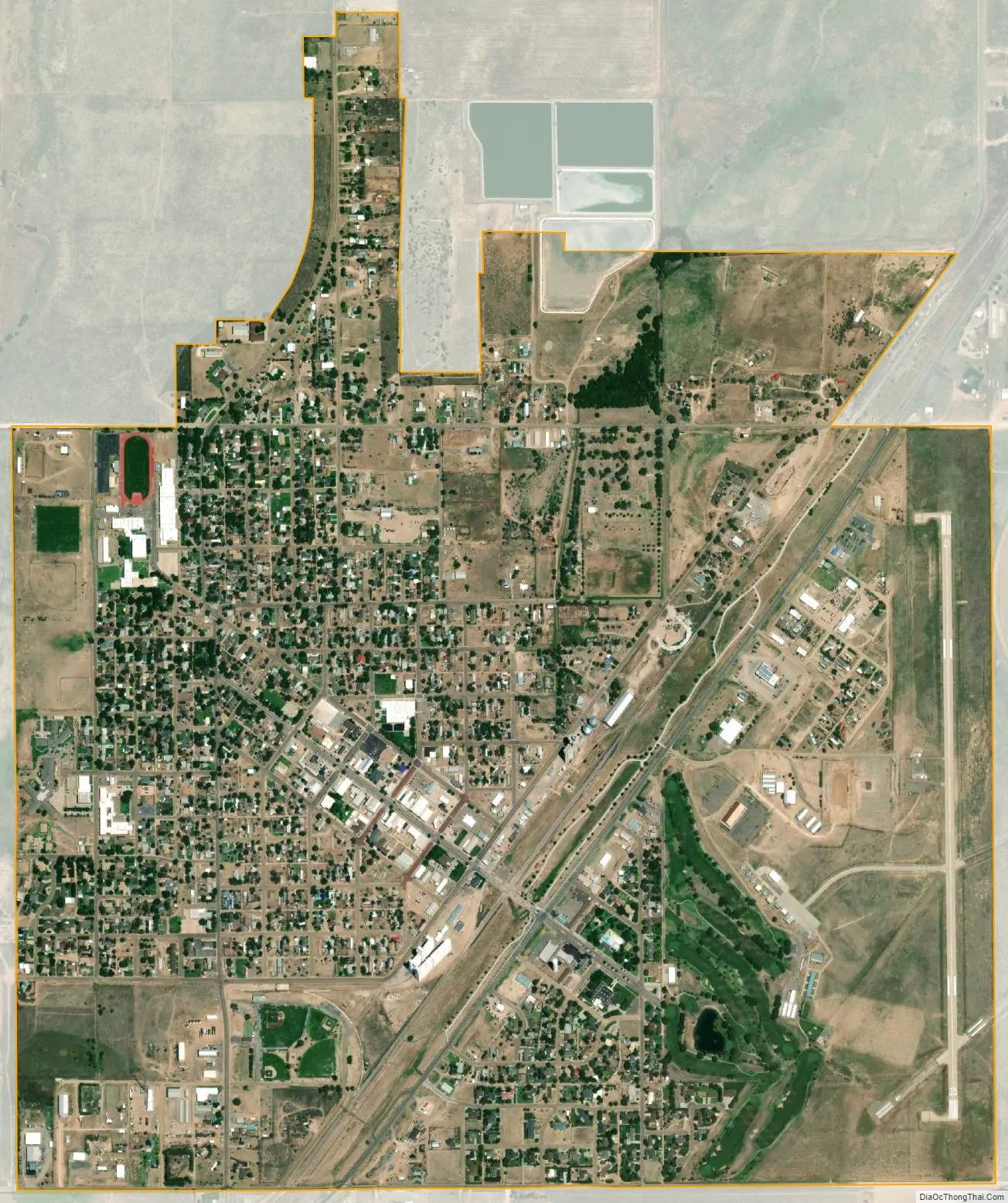
Elkhart city Satellite Map
Geography
According to the United States Census Bureau, the city has a total area of 2.11 square miles (5.46 km), all of it land.
Climate
Elkhart has a cool semi-arid climate (Köppen BSk) characterized by generally dry winters with extreme temperature variations, and hot summers with occasional heavy precipitation from thunder showers or storms.
During winter, because western Kansas lies both on the edge of the subtropical anticyclones and in the rain shadow of westerly winds crossing the Rocky Mountains, the region is generally dry: no measurable precipitation fell in Elkhart between 25 December 1903 and 2 April 1904, while monthly precipitation above 2 inches or 50.8 millimetres has never been recorded during January and is observed fewer than one year in ten during November, December or February. Temperatures can vary greatly during this season: strong chinook winds can drive temperatures above 80 °F or 26.7 °C even in the depth of winter, with 70 °F or 21.1 °C reached on average during six days between December and February, seven during November and eight during March. Nevertheless, cold outbreaks from Canada drive temperatures to or below 0 °F or −17.8 °C on an average of 3.6 nights per winter. The coldest temperature recorded in Elkhart has been −22 °F or −30 °C on January 19, 1984, while the hottest winter temperature has been 87 °F or 30.6 °C on February 1, 1963.
Snowfall is generally light due to dryness; however in the extremely wet and cold February 1903, 41.0 inches or 1.04 metres fell, being the major factor behind a record seasonal snowfall of 59.0 inches (1.50 m) between July 1902 and June 1903. In contrast, only a trace of snow was recorded between July 1949 and January 1950.
In the summer, the climate is generally very hot with relief from thunderstorms that provide most of the 18.9 inches or 480 millimetres of precipitation expected during one year. When an upper level anticyclone moves poleward, the atmosphere can become very stable and produce sustained extreme heat: in the hottest month of July 1980 the average maximum was 103.0 °F or 39.4 °C and all but seven days topped 100 °F or 37.8 °C. When the high retreats southward or a trough forms over the interior of the United States during the summer, however, precipitation can be heavy, with 10.91 inches or 277.1 millimetres falling in April 2016, 10.19 inches or 258.8 millimetres in June 2004 and 9.86 inches or 250.4 millimetres in July 1927. The wettest calendar year has been 1941 with 29.74 inches or 755.4 millimetres and the driest 1937 when only 9.03 inches or 229.4 millimetres fell.
See also
Map of Kansas State and its subdivision:- Allen
- Anderson
- Atchison
- Barber
- Barton
- Bourbon
- Brown
- Butler
- Chase
- Chautauqua
- Cherokee
- Cheyenne
- Clark
- Clay
- Cloud
- Coffey
- Comanche
- Cowley
- Crawford
- Decatur
- Dickinson
- Doniphan
- Douglas
- Edwards
- Elk
- Ellis
- Ellsworth
- Finney
- Ford
- Franklin
- Geary
- Gove
- Graham
- Grant
- Gray
- Greeley
- Greenwood
- Hamilton
- Harper
- Harvey
- Haskell
- Hodgeman
- Jackson
- Jefferson
- Jewell
- Johnson
- Kearny
- Kingman
- Kiowa
- Labette
- Lane
- Leavenworth
- Lincoln
- Linn
- Logan
- Lyon
- Marion
- Marshall
- McPherson
- Meade
- Miami
- Mitchell
- Montgomery
- Morris
- Morton
- Nemaha
- Neosho
- Ness
- Norton
- Osage
- Osborne
- Ottawa
- Pawnee
- Phillips
- Pottawatomie
- Pratt
- Rawlins
- Reno
- Republic
- Rice
- Riley
- Rooks
- Rush
- Russell
- Saline
- Scott
- Sedgwick
- Seward
- Shawnee
- Sheridan
- Sherman
- Smith
- Stafford
- Stanton
- Stevens
- Sumner
- Thomas
- Trego
- Wabaunsee
- Wallace
- Washington
- Wichita
- Wilson
- Woodson
- Wyandotte
- Alabama
- Alaska
- Arizona
- Arkansas
- California
- Colorado
- Connecticut
- Delaware
- District of Columbia
- Florida
- Georgia
- Hawaii
- Idaho
- Illinois
- Indiana
- Iowa
- Kansas
- Kentucky
- Louisiana
- Maine
- Maryland
- Massachusetts
- Michigan
- Minnesota
- Mississippi
- Missouri
- Montana
- Nebraska
- Nevada
- New Hampshire
- New Jersey
- New Mexico
- New York
- North Carolina
- North Dakota
- Ohio
- Oklahoma
- Oregon
- Pennsylvania
- Rhode Island
- South Carolina
- South Dakota
- Tennessee
- Texas
- Utah
- Vermont
- Virginia
- Washington
- West Virginia
- Wisconsin
- Wyoming