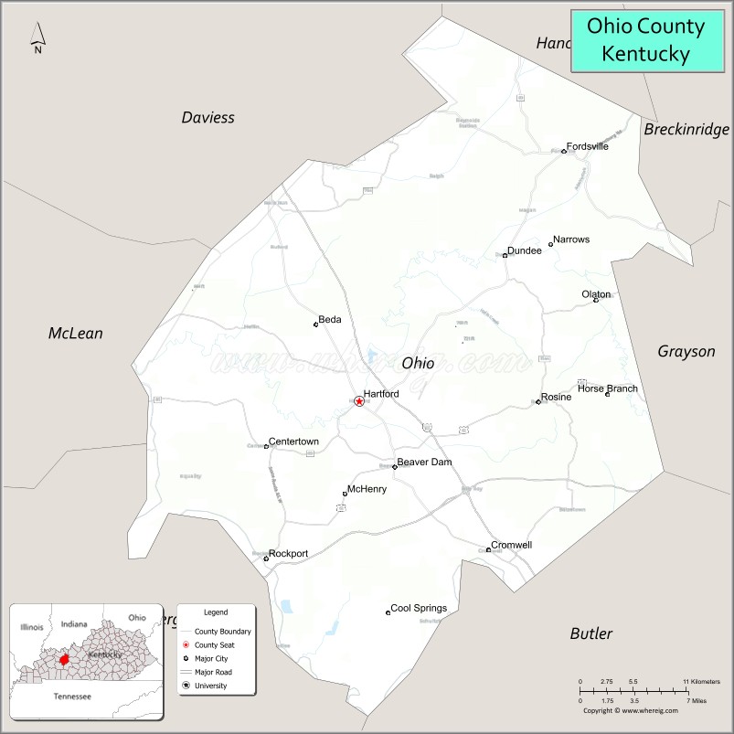
Ohio County is a county located in the U.S. state of Kentucky. As of the 2020 census, the population was 23,772. Its county seat is Hartford, and its largest city is Beaver Dam. The county is named after the Ohio River, which originally formed its northern boundary. It is a moist county, which means that the sale of alcohol is only legal within certain city limits.
| Name: | Ohio County |
|---|---|
| FIPS code: | 21-183 |
| State: | Kentucky |
| Founded: | December 17, 1798 |
| Named for: | The Ohio River |
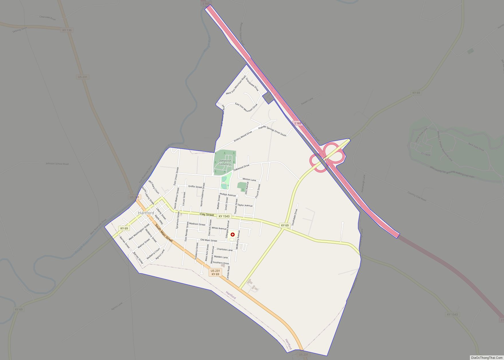
| Seat: | Hartford |
| Largest city: | Beaver Dam |
| Total Area: | 596 sq mi (1,540 km²) |
| Land Area: | 587 sq mi (1,520 km²) |
| Total Population: | 23,772 |
| Population Density: | 40/sq mi (15/km²) |
| Time zone: | UTC−6 (Central) |
| Summer Time Zone (DST): | UTC−5 (CDT) |
| Website: | ohiocounty.ky.gov |
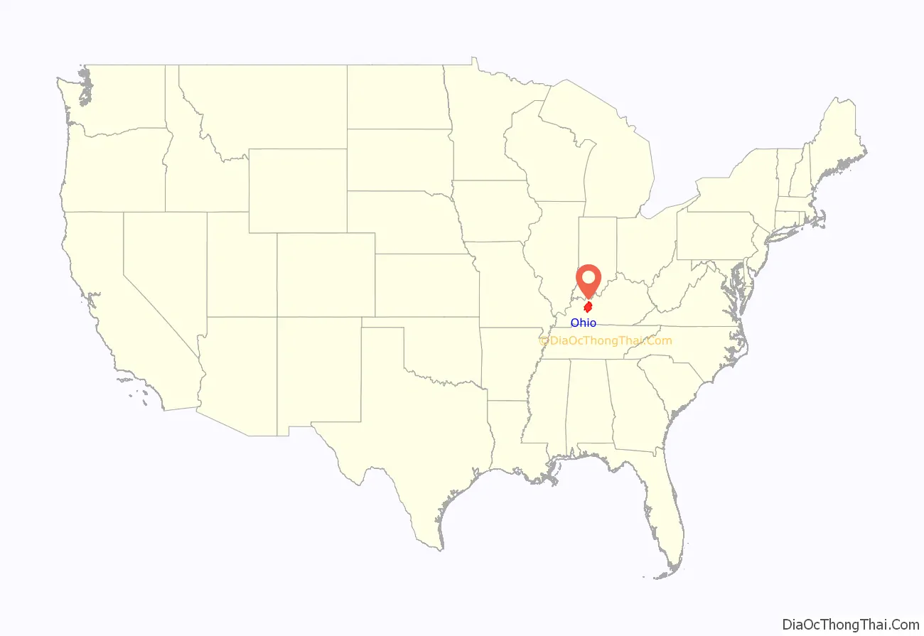
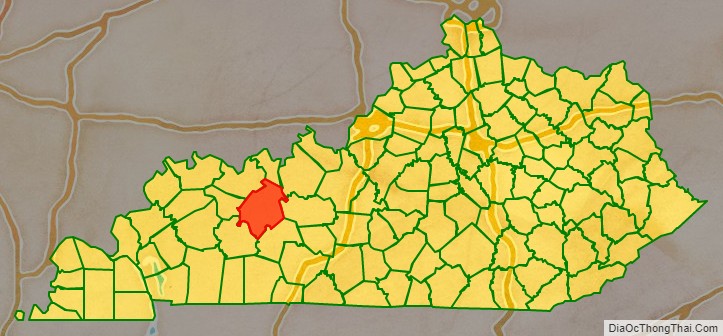
Ohio County location map. Where is Ohio County?
History
Ohio County was formed in 1798 from land taken from Hardin County. Ohio was the 35th Kentucky county in order of formation. It was named for the Ohio River, which originally formed its northern boundary, but it lost its northern portions in 1829, when Daviess County and Hancock County were formed. The first settlements in Ohio County were Barnetts Station and Hartford. In January 1865, during the American Civil War, the courthouse in Hartford was burned by Kentucky Confederate cavalry because it was being used to house soldiers of the occupying Union Army. However, the county records were removed first and preserved. Ohio County is famous for its coal mines, and was the second place county producing coal in Kentucky.
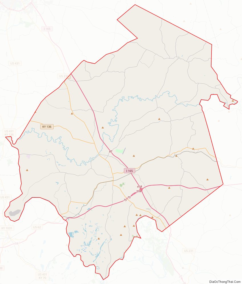
Ohio County Road Map
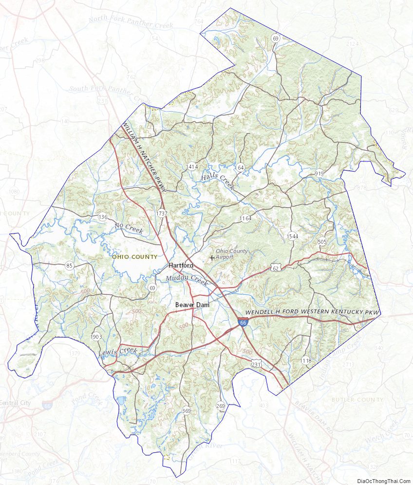
Geography
According to the United States Census Bureau, the county has a total area of 596 square miles (1,540 km), of which 587 square miles (1,520 km) is land and 9.0 square miles (23 km) (1.5%) is water. It is the fifth-largest county by area in Kentucky.
Ohio County is part of the Western Coal Fields region of Kentucky. Much of Ohio County is farmland and the eastern and northern parts have rolling hills. Of the 120 counties in Kentucky, it is the fifth largest. The county is intersected by the Rough River and the Green River runs along its southwestern border.
Adjacent counties
- Hancock County (north)
- Breckinridge County (northeast)
- Grayson County (east)
- Butler County (southeast)
- Muhlenberg County (southwest)
- McLean County (west)
- Daviess County (northwest)
Ohio County Topographic Map
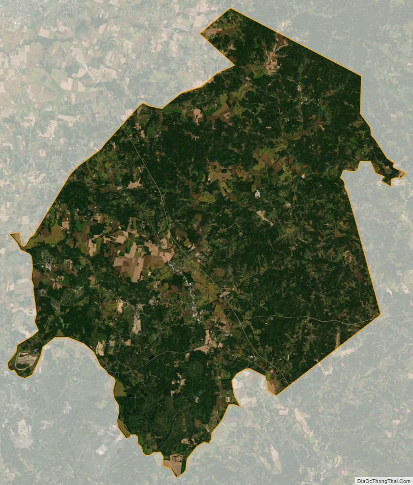
Ohio County Satellite Map
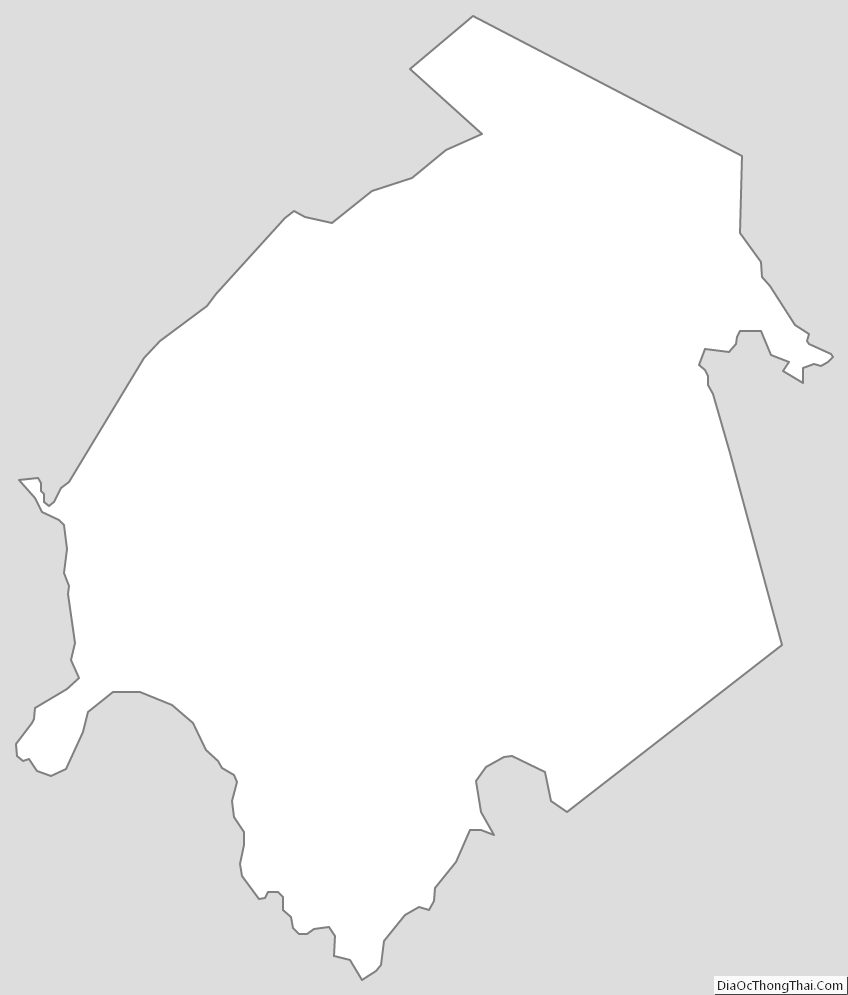
Ohio County Outline Map