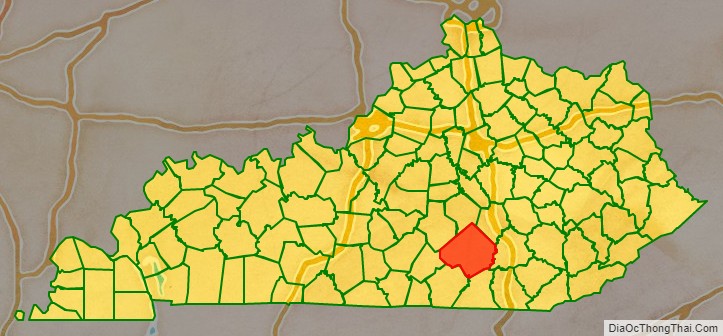
Pulaski County is a county in the U.S. Commonwealth of Kentucky. As of the 2020 census, the population was 65,034. Its county seat is Somerset. The county was founded in December 1798 from land given by Lincoln and Green Counties and named for Polish patriot Count Casimir Pulaski. Pulaski County comprises the Somerset, KY Micropolitan Statistical Area. Somerset’s population is just over 11,000, but the Micropolitan Area for Somerset/Pulaski County is over 65,000.
| Name: | Pulaski County |
|---|---|
| FIPS code: | 21-199 |
| State: | Kentucky |
| Founded: | 1798 |
| Named for: | Kazimierz Pułaski |
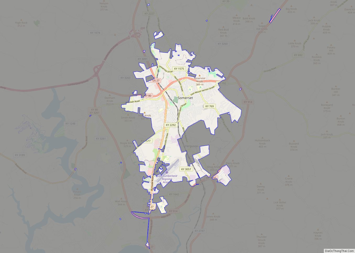
| Seat: | Somerset |
| Largest city: | Somerset |
| Total Area: | 677 sq mi (1,750 km²) |
| Land Area: | 658 sq mi (1,700 km²) |
| Total Population: | 65,034 |
| Population Density: | 96/sq mi (37/km²) |
| Time zone: | UTC−5 (Eastern) |
| Summer Time Zone (DST): | UTC−4 (EDT) |
| Website: | pcgovt.com |
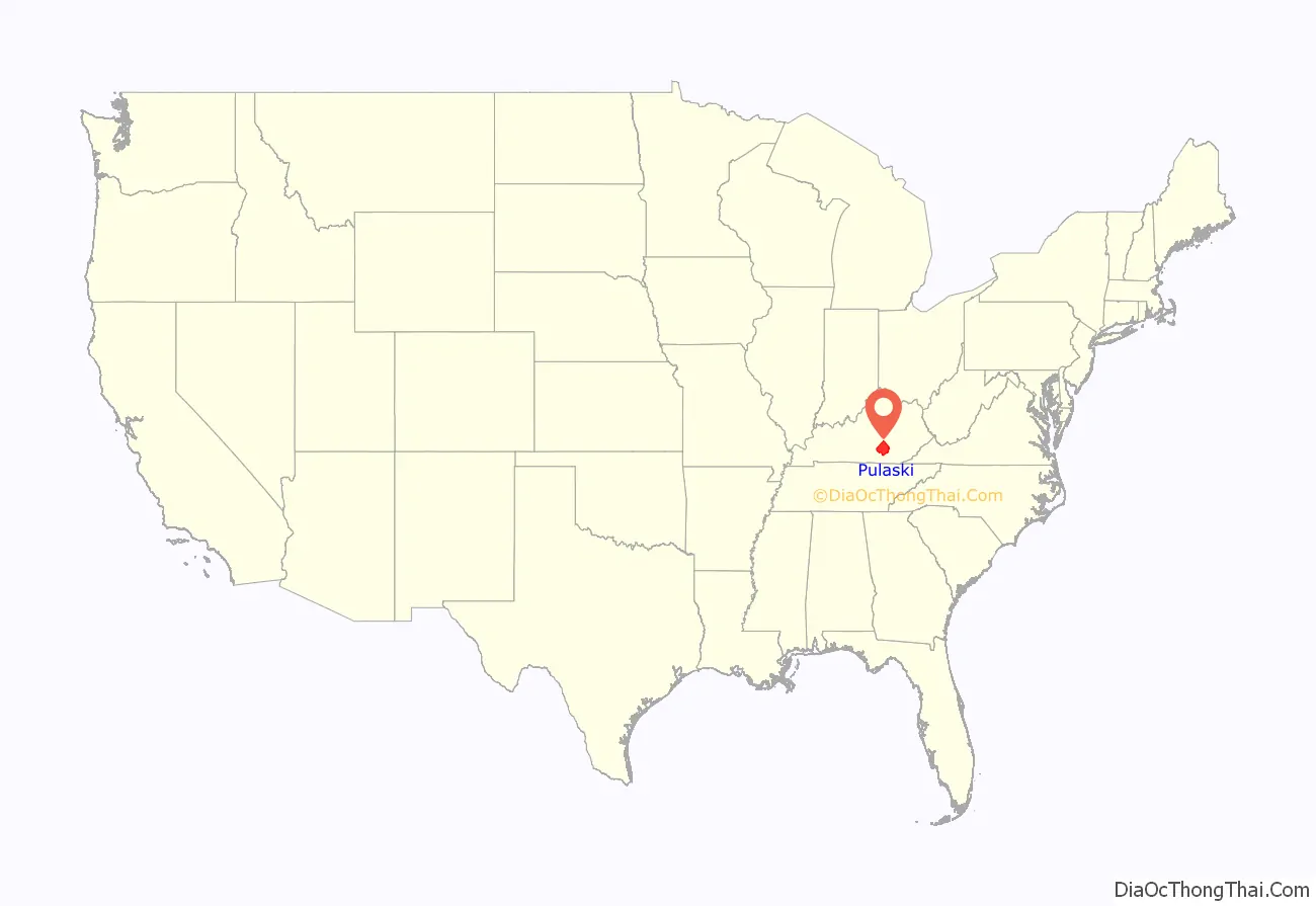
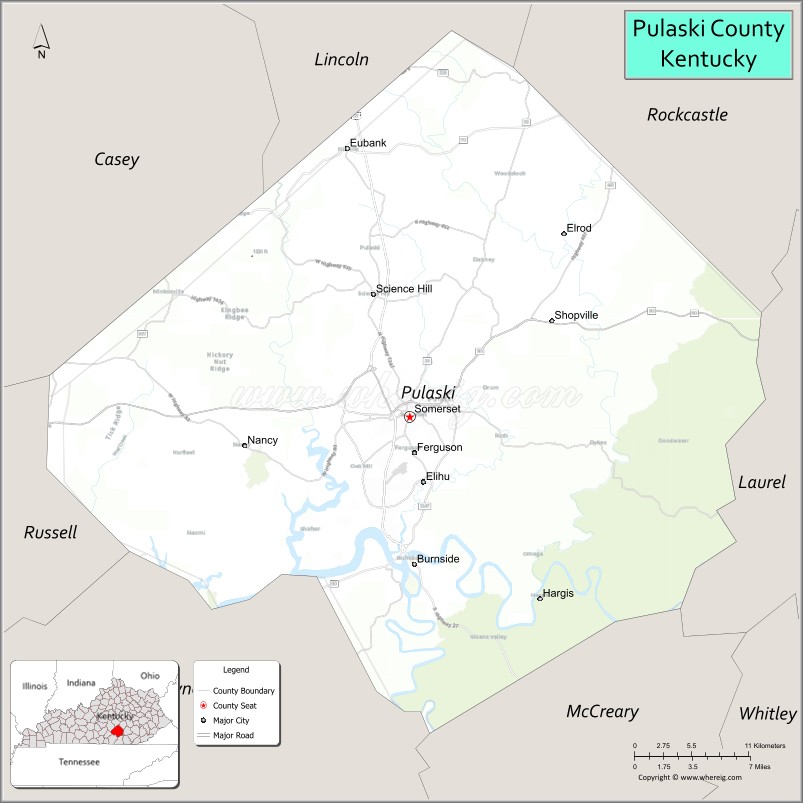
Pulaski County location map. Where is Pulaski County?
History
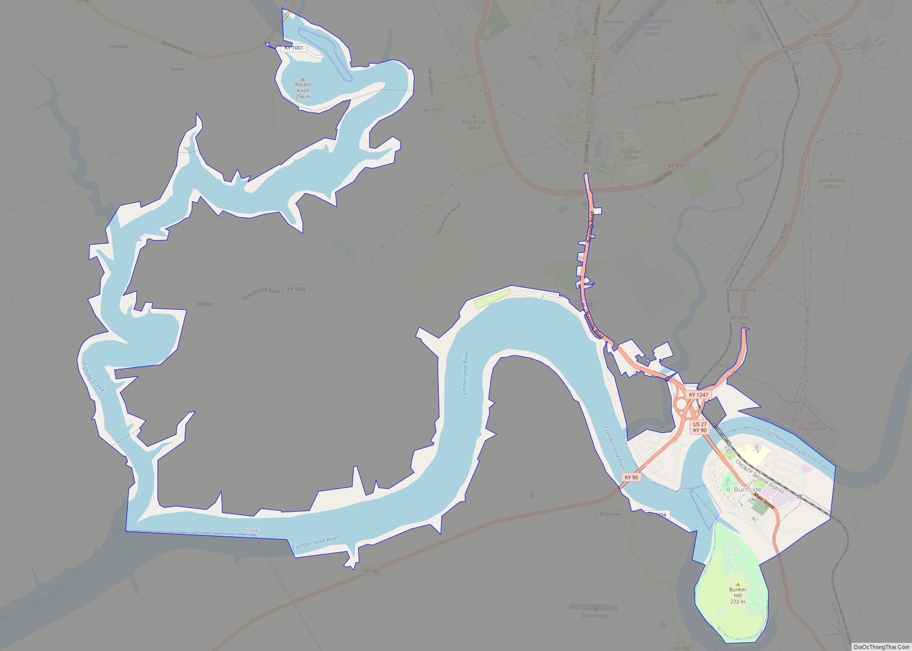
In the early 2010s, after Lake Cumberland’s water level rose to its normal level after its drastic fall (which caused a drought in Pulaski County’s economy) and Somerset and Burnside went “wet”, Pulaski County’s economy began to grow exponentially due to tourism, mainly from Ohio. Downtown Burnside had become a ghost town during Lake Cumberland’s decline, and has not fully recovered, although a few new businesses are popping up. Before the lake’s decline, the Seven Gables Motel was a prominent motel in south central Kentucky.
Pulaski County is a “moist” county as defined by The Kentucky Department of Alcoholic Beverage Control. The County features two “Small Farm Wineries” that sell wine to the public. The City of Somerset voted on June 26, 2012, to go fully “wet”, which means alcoholic beverages can be purchased by the package and restaurants and bars can serve them by the drink. On October 15, 2013, the City of Burnside voted to go fully “wet” by a count of 123–39. All other areas of Pulaski County are “Dry”.
Pulaski County Road Map
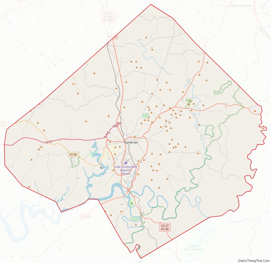
Geography
According to the United States Census Bureau, the county has a total area of 677 square miles (1,750 km), of which 658 square miles (1,700 km) is land and 19 square miles (49 km) (2.8%) is water. It is the third-largest county by area in Kentucky.
Adjacent counties
- Lincoln County (north)
- Rockcastle County (northeast)
- Laurel County (east)
- McCreary County (southeast)
- Wayne County (southwest)
- Russell County (west/CST Border)
- Casey County (northwest)
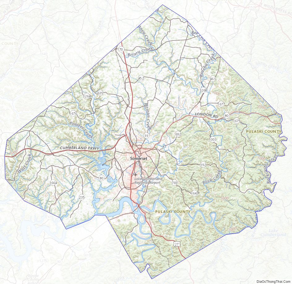
Pulaski County Topographic Map
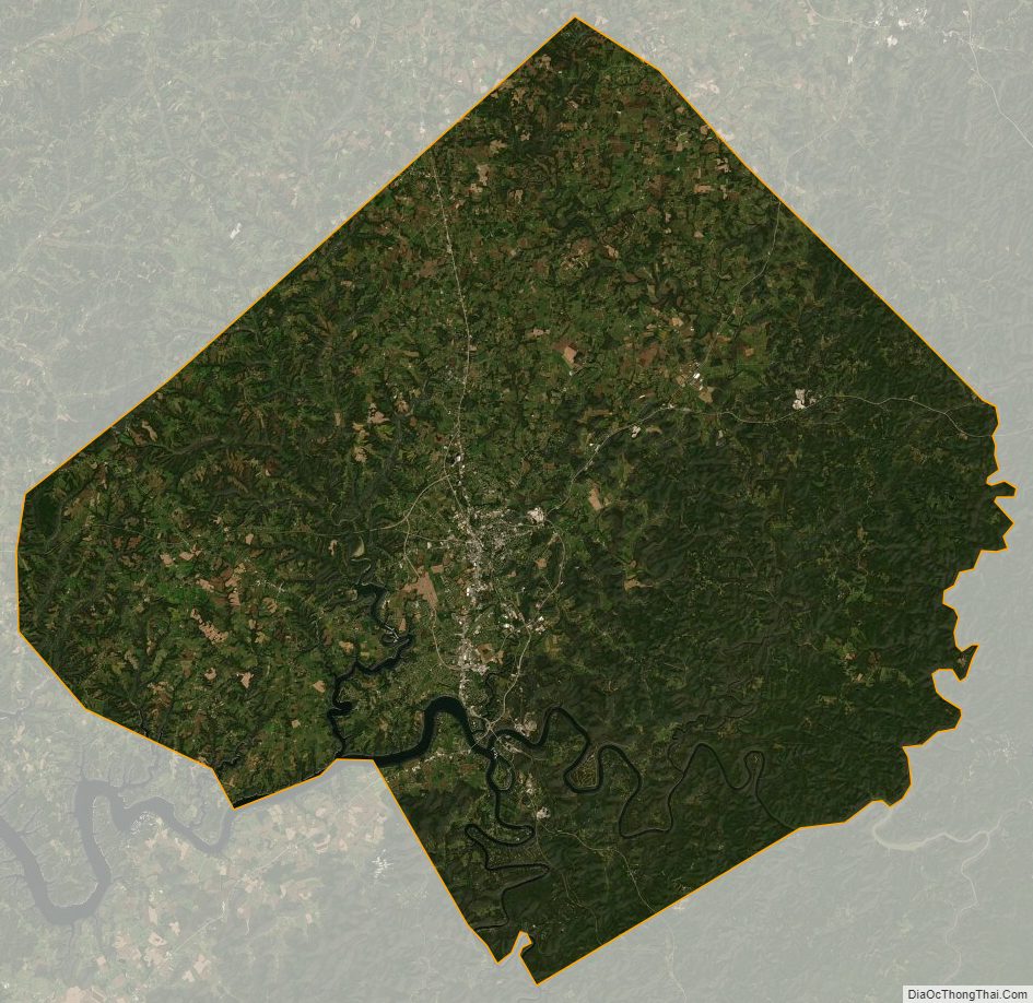
Pulaski County Satellite Map
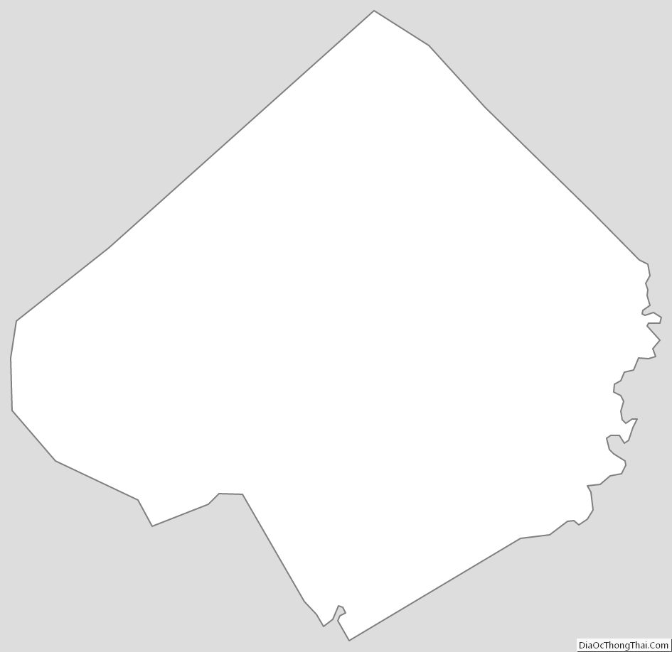
Pulaski County Outline Map