Somerset is a home rule-class city in Pulaski County, Kentucky, United States. The city population was 11,924 according to the 2020 census. It is the seat of Pulaski County.
| Name: | Somerset city |
|---|---|
| LSAD Code: | 25 |
| LSAD Description: | city (suffix) |
| State: | Kentucky |
| County: | Pulaski County |
| Elevation: | 971 ft (296 m) |
| Total Area: | 14.09 sq mi (36.48 km²) |
| Land Area: | 14.07 sq mi (36.44 km²) |
| Water Area: | 0.02 sq mi (0.05 km²) |
| Total Population: | 11,924 |
| Population Density: | 847.60/sq mi (327.26/km²) |
| ZIP code: | 42501-42503 |
| Area code: | 606 |
| FIPS code: | 2171688 |
| GNISfeature ID: | 0503873 |
| Website: | http://www.cityofsomerset.com/ |
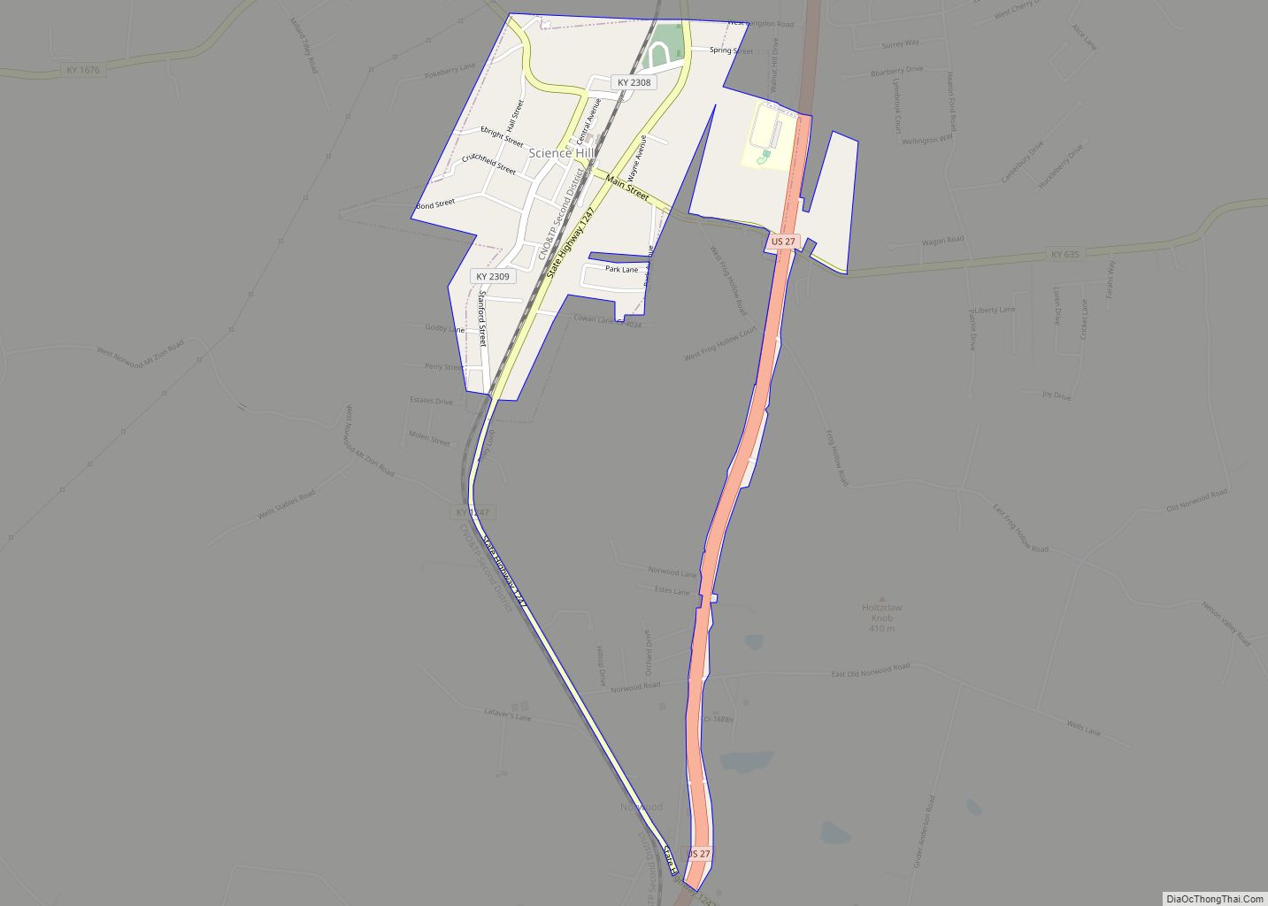
Online Interactive Map
Click on ![]() to view map in "full screen" mode.
to view map in "full screen" mode.
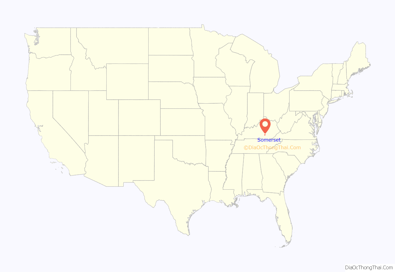
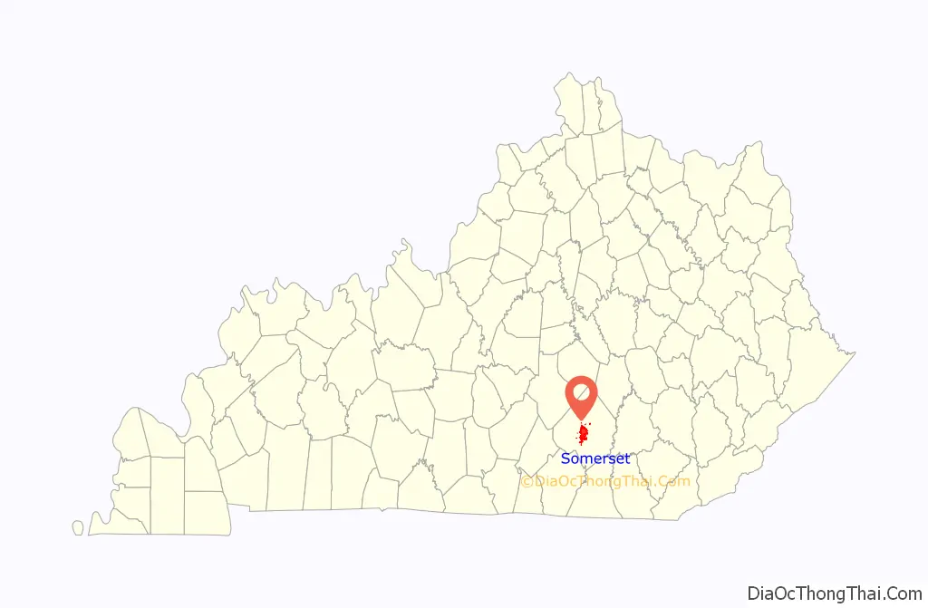
Somerset location map. Where is Somerset city?
History
Somerset was first settled in 1798 by Thomas Hansford and received its name from Somerset County, New Jersey, where some of the early settlers had formerly lived. Somerset became the Pulaski County seat in 1802, and was incorporated as a city in 1887. A Civil War battle was fought in January 1862 at Mill Springs (now “Nancy”) about 8 miles (13 km) west of Somerset, and a museum is at the site. A smaller battle was fought nearby at Dutton’s Hill in 1863. In 1875 tracks for the Southern Railroad were completed and Somerset saw a population growth and an increase in industry. In the late 1930s and early 1940s, library services were provided by the pack horse library. The completion of Lake Cumberland in 1950 transformed Somerset from a sleepy rural community into a recreation center.
The Center for Rural Development in Somerset was established in 1996. It is a 501c(3) nonprofit organization that describes its mission as follows: “to provide leadership that stimulates innovative and sustainable economic development solutions and a better way of life for the citizens we serve.” The center’s programs and services focus on public safety, arts & culture, leadership, and technology.
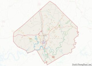
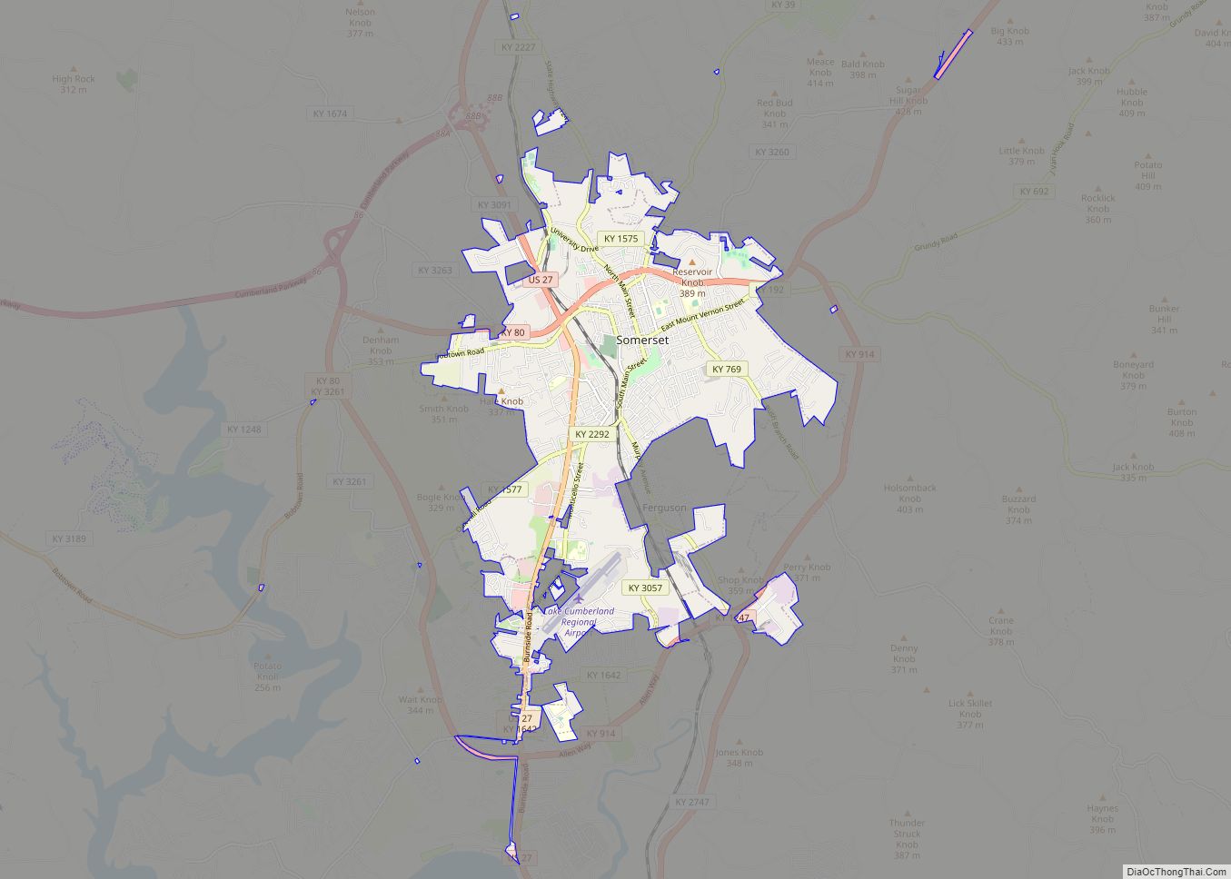
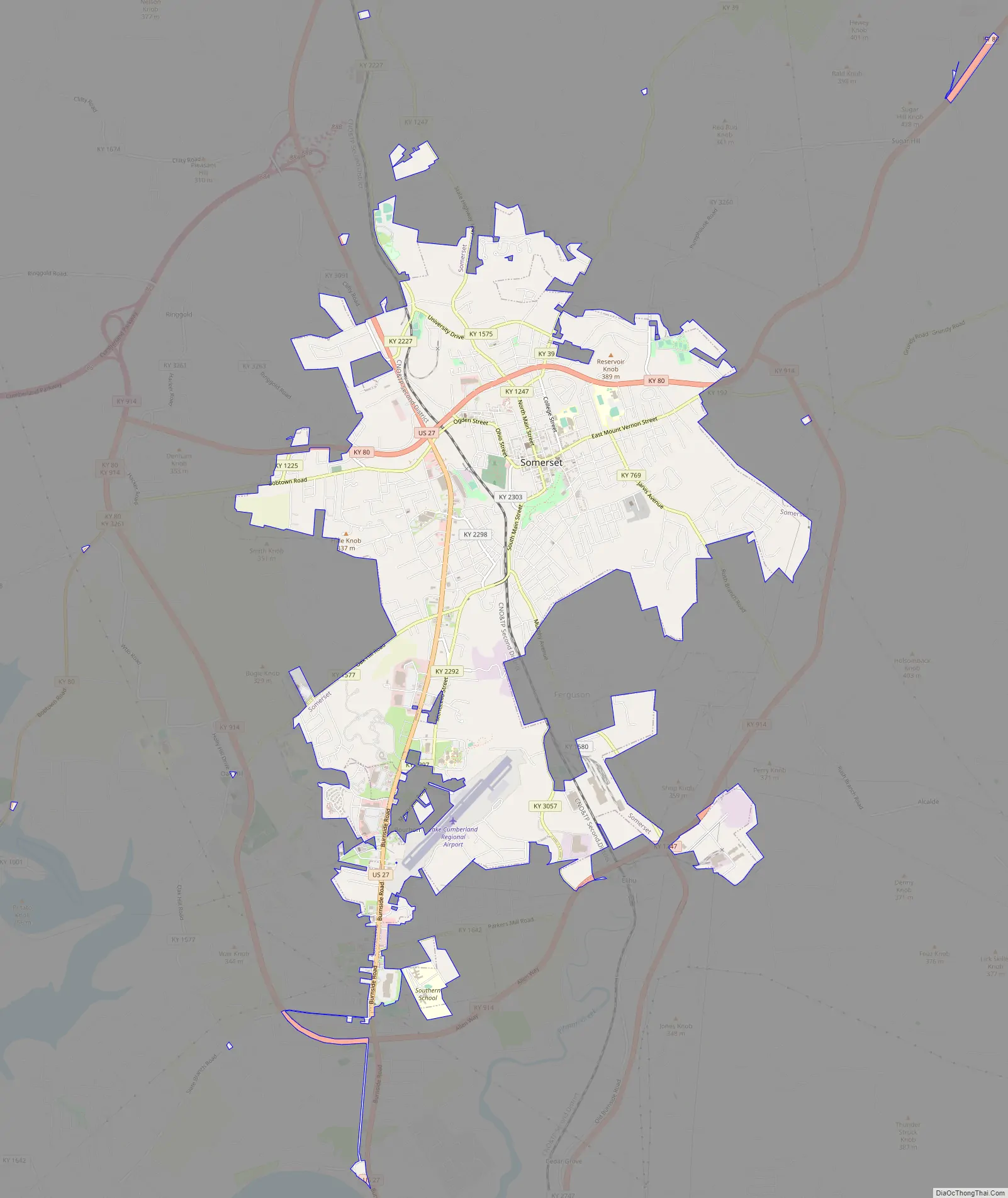
Somerset Road Map
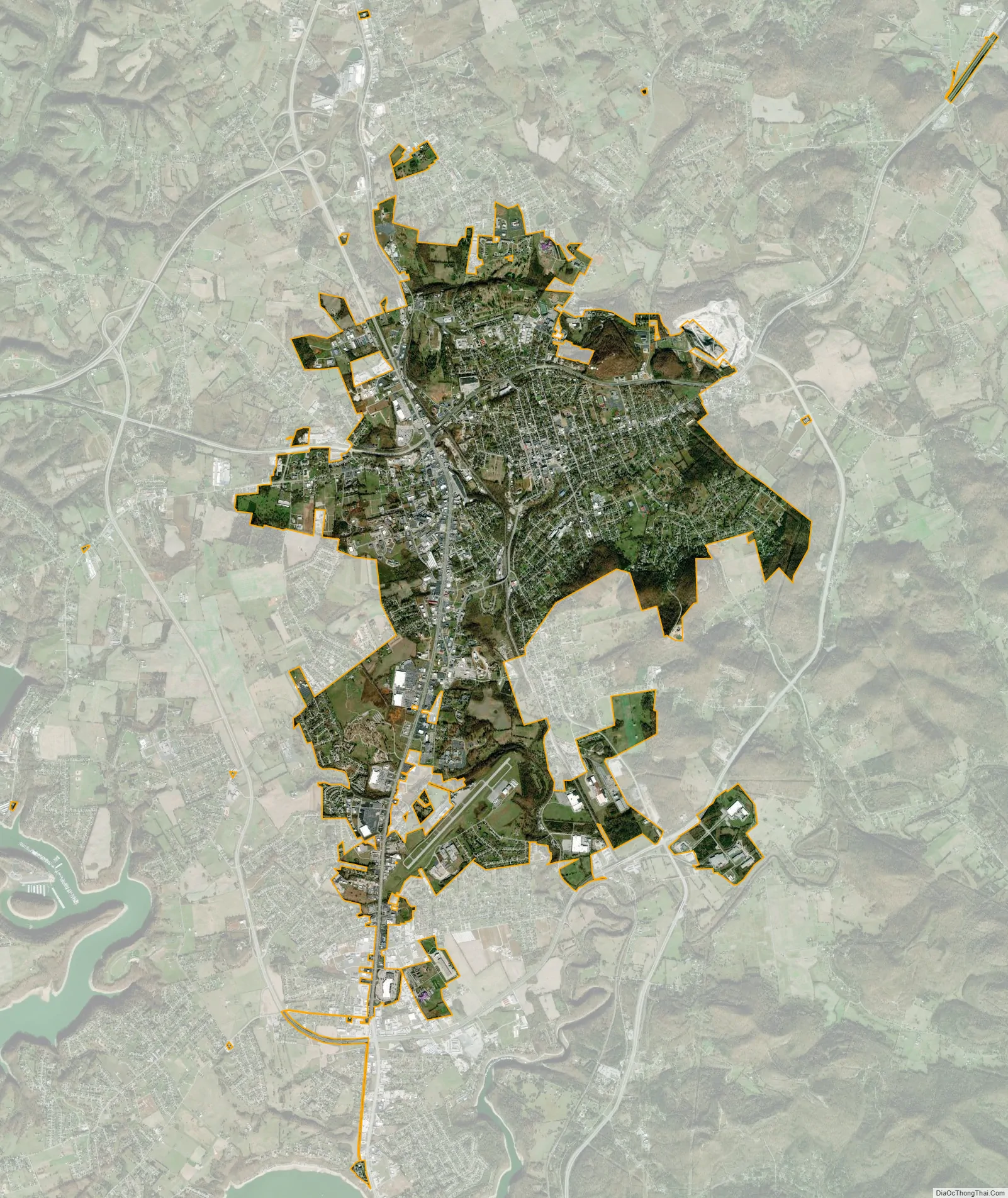
Somerset city Satellite Map
Geography
Somerset is located at 37°4′59″N 84°36′34″W / 37.08306°N 84.60944°W / 37.08306; -84.60944 (37.082966, −84.609387), and the downtown (central) part of the city is at an elevation of 974 feet above sea level. The city is located at the eastern end of Kentucky’s Mississippian Plateau (or Pennyroyal Plateau); however, the micropolitan area extends eastward into the Appalachian Plateau (or Eastern Kentucky Coalfield), and northward to Kentucky’s Outer Bluegrass region. Thus, the area shows variations in landforms and scenery.
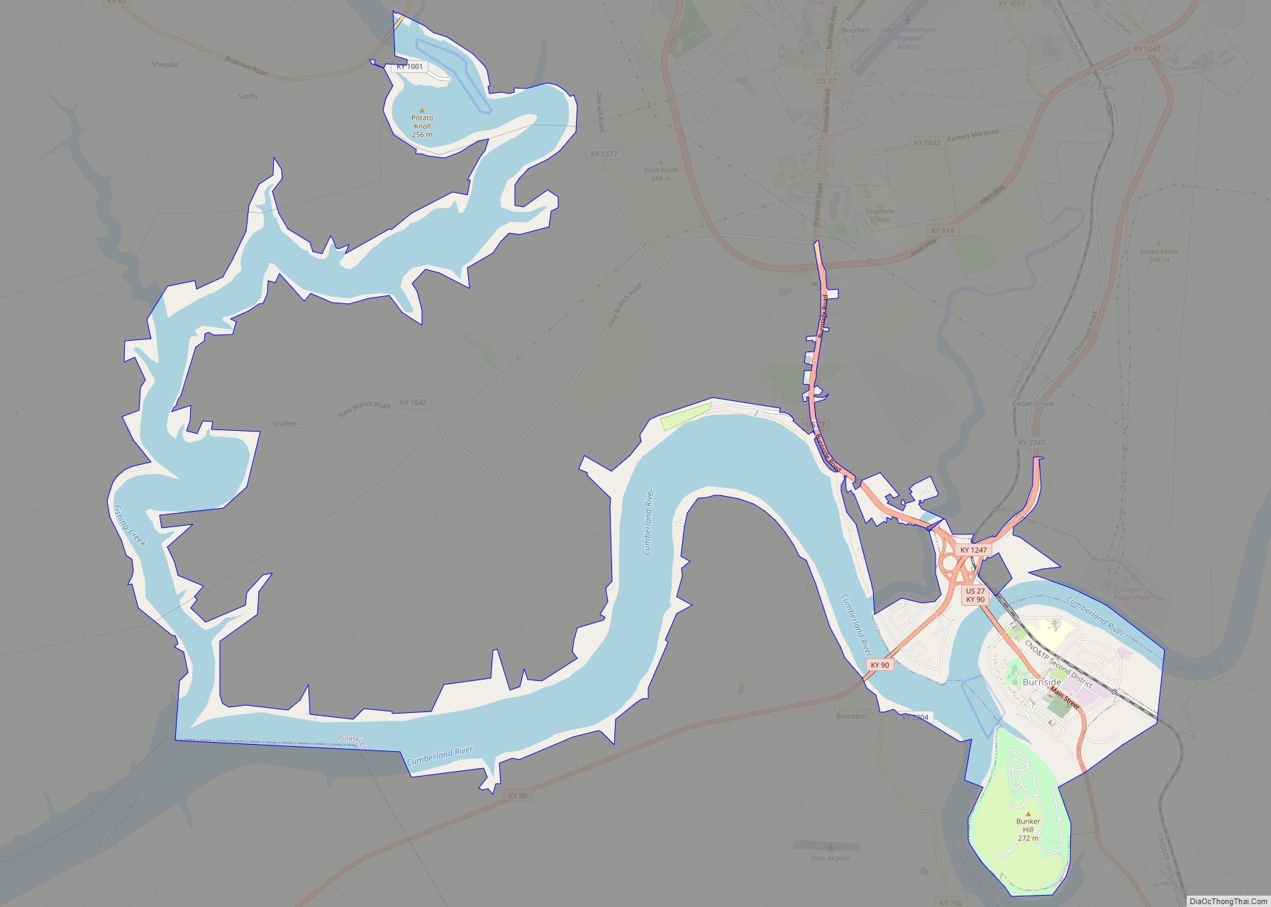
Nearby Lake Cumberland is one of the largest man-made lakes in the world (101 miles in length, with an average depth of 85 feet (26 m) and a normal pool containing more than 2 trillion gallons of water). Somerset is also near Cumberland Falls and the Big South Fork National River and Recreation Area; its tourism industries are, in part, due to its scenic and varied landscape.
According to the United States Census Bureau, the city has a total area of 11.3 square miles (29 km), of which 11.3 square miles (29 km) is land and 0.09% is water.
Climate
The climate in this area is characterized by hot, humid summers and generally mild to cool winters. According to the Köppen Climate Classification system, Somerset has a humid subtropical climate, abbreviated “Cfa” on climate maps.
Somerset’s climate is warm during summer when temperatures tend to be in the 80s and mild during winter when temperatures tend to be in the 30s and 40s. The warmest month of the year is July with an average daily maximum temperature of 86 °F (30 °C). The coldest month of the year is January with an average minimum temperature of 25.10 °F (−3.83 °C).
The annual average precipitation at Somerset is 51.08 inches (1,297 mm). Rainfall is fairly evenly distributed throughout the year. The wettest month of the year is May with an average rainfall of 5.17 inches (131 mm). Snowfall typically occurs between the months of December and February, though on record as early as October and as late as May.
See also
Map of Kentucky State and its subdivision:- Adair
- Allen
- Anderson
- Ballard
- Barren
- Bath
- Bell
- Boone
- Bourbon
- Boyd
- Boyle
- Bracken
- Breathitt
- Breckinridge
- Bullitt
- Butler
- Caldwell
- Calloway
- Campbell
- Carlisle
- Carroll
- Carter
- Casey
- Christian
- Clark
- Clay
- Clinton
- Crittenden
- Cumberland
- Daviess
- Edmonson
- Elliott
- Estill
- Fayette
- Fleming
- Floyd
- Franklin
- Fulton
- Gallatin
- Garrard
- Grant
- Graves
- Grayson
- Green
- Greenup
- Hancock
- Hardin
- Harlan
- Harrison
- Hart
- Henderson
- Henry
- Hickman
- Hopkins
- Jackson
- Jefferson
- Jessamine
- Johnson
- Kenton
- Knott
- Knox
- Larue
- Laurel
- Lawrence
- Lee
- Leslie
- Letcher
- Lewis
- Lincoln
- Livingston
- Logan
- Lyon
- Madison
- Magoffin
- Marion
- Marshall
- Martin
- Mason
- McCracken
- McCreary
- McLean
- Meade
- Menifee
- Mercer
- Metcalfe
- Monroe
- Montgomery
- Morgan
- Muhlenberg
- Nelson
- Nicholas
- Ohio
- Oldham
- Owen
- Owsley
- Pendleton
- Perry
- Pike
- Powell
- Pulaski
- Robertson
- Rockcastle
- Rowan
- Russell
- Scott
- Shelby
- Simpson
- Spencer
- Taylor
- Todd
- Trigg
- Trimble
- Union
- Warren
- Washington
- Wayne
- Webster
- Whitley
- Wolfe
- Woodford
- Alabama
- Alaska
- Arizona
- Arkansas
- California
- Colorado
- Connecticut
- Delaware
- District of Columbia
- Florida
- Georgia
- Hawaii
- Idaho
- Illinois
- Indiana
- Iowa
- Kansas
- Kentucky
- Louisiana
- Maine
- Maryland
- Massachusetts
- Michigan
- Minnesota
- Mississippi
- Missouri
- Montana
- Nebraska
- Nevada
- New Hampshire
- New Jersey
- New Mexico
- New York
- North Carolina
- North Dakota
- Ohio
- Oklahoma
- Oregon
- Pennsylvania
- Rhode Island
- South Carolina
- South Dakota
- Tennessee
- Texas
- Utah
- Vermont
- Virginia
- Washington
- West Virginia
- Wisconsin
- Wyoming