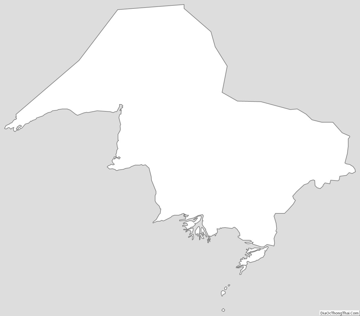
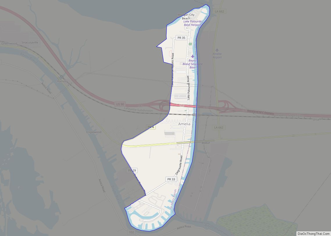
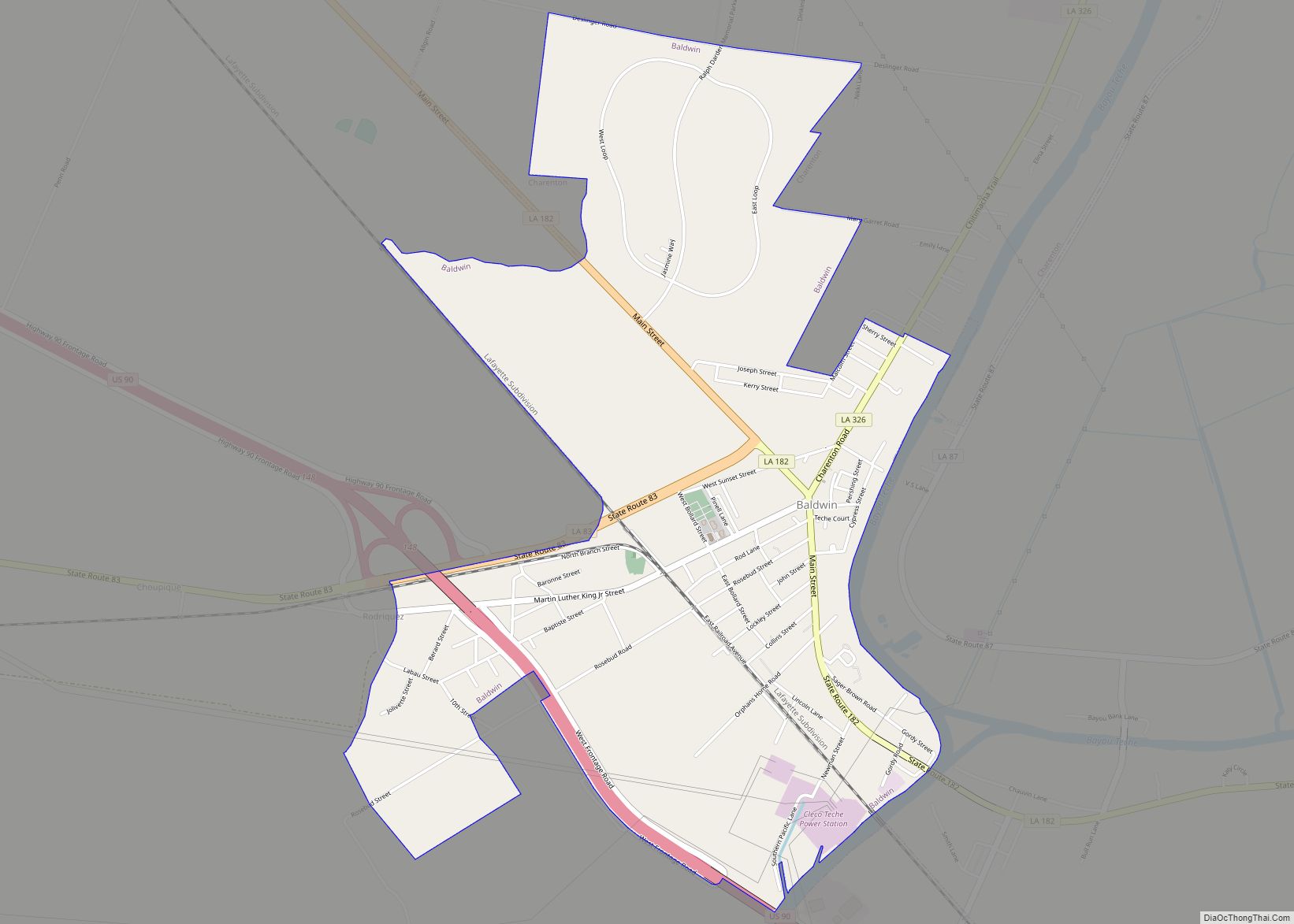
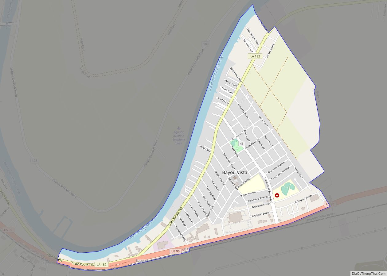
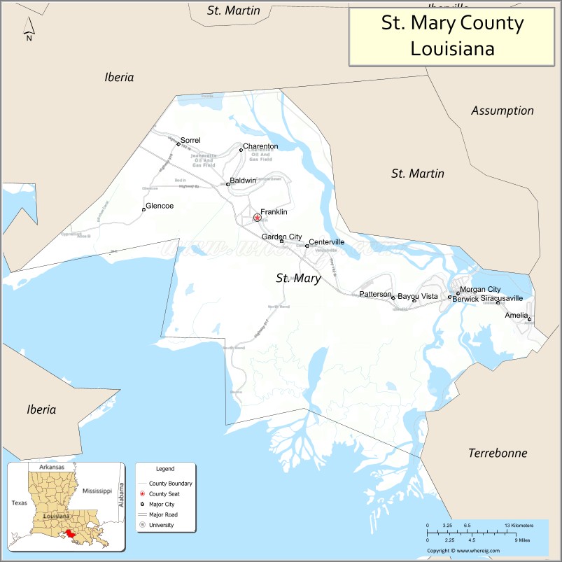
St. Mary Parish (French: Paroisse de Sainte-Marie) is a parish located in the U.S. state of Louisiana. As of the 2020 census, the population was 49,406. The parish seat is Franklin. The parish was created in 1811.
St. Mary Parish comprises the Morgan City, LA Micropolitan Statistical Area, which is also included in the Lafayette–Opelousas-Morgan City, LA Combined Statistical Area.
| Name: | St. Mary Parish |
|---|---|
| FIPS code: | 22-101 |
| State: | Louisiana |
| Founded: | 1811 |
| Named for: | Saint Mary |
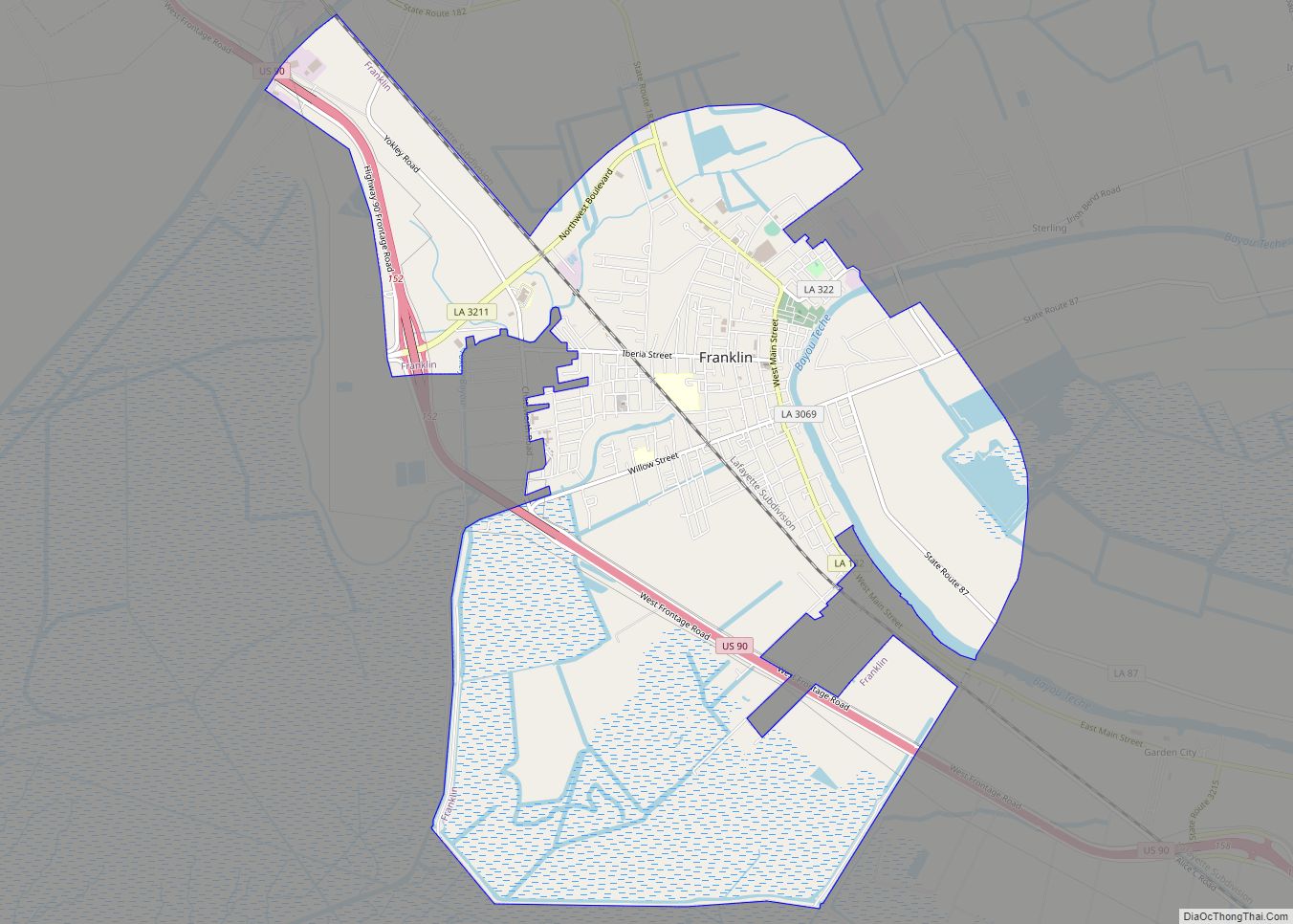
| Seat: | Franklin |
| Largest city: | Morgan City |
| Total Area: | 1,119 sq mi (2,900 km²) |
| Land Area: | 555 sq mi (1,440 km²) |
| Total Population: | 49,406 |
| Population Density: | 44/sq mi (17/km²) |
| Time zone: | UTC−6 (Central) |
| Summer Time Zone (DST): | UTC−5 (CDT) |
| Website: | www.stmaryparishla.gov |
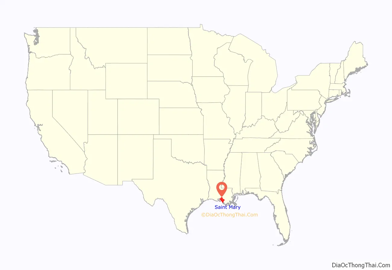
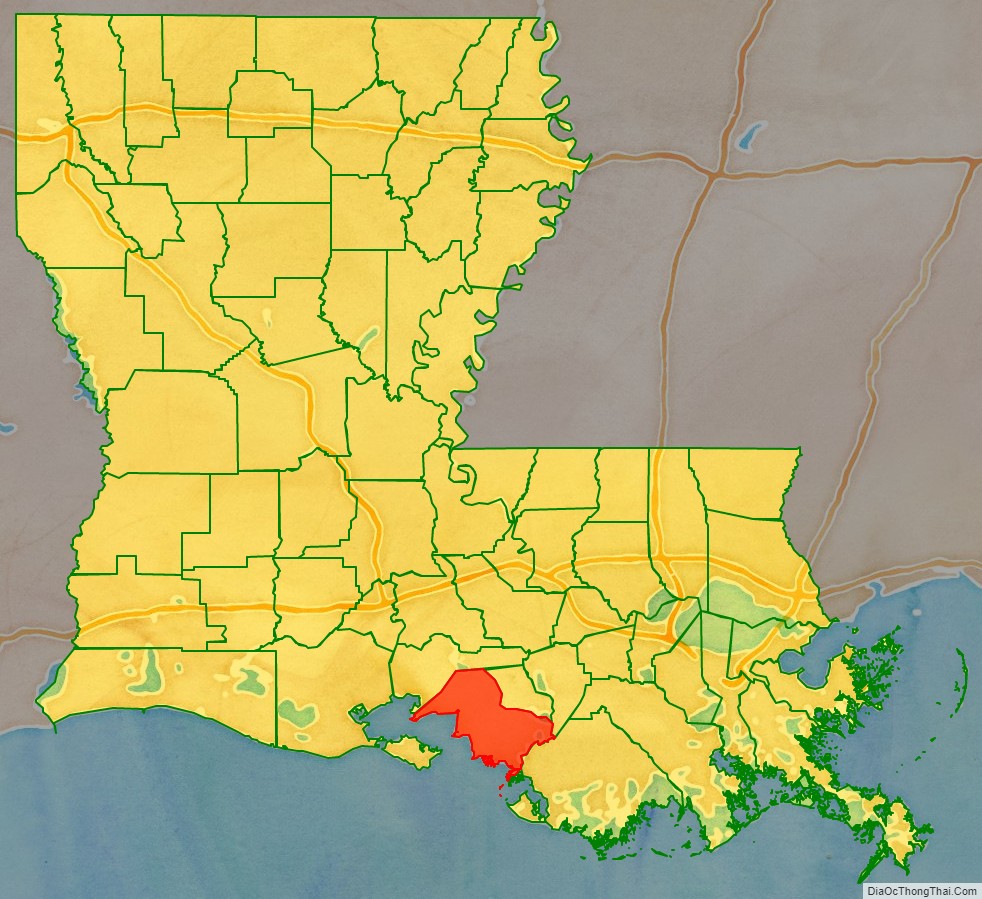
St. Mary Parish location map. Where is St. Mary Parish?
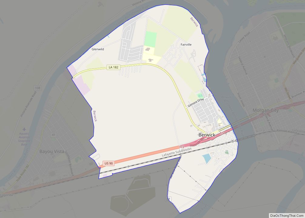
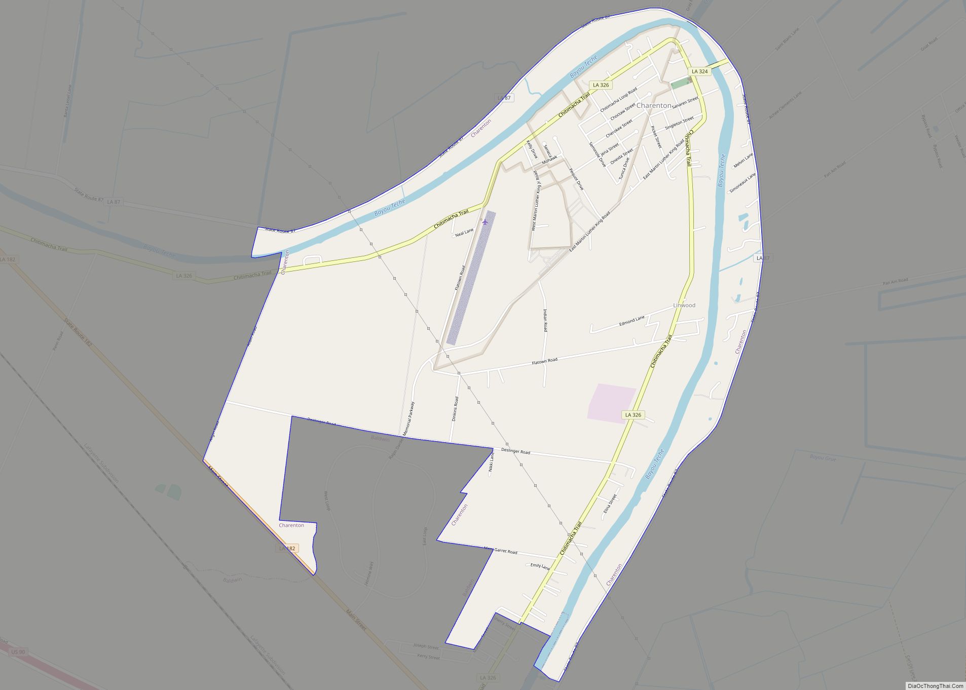
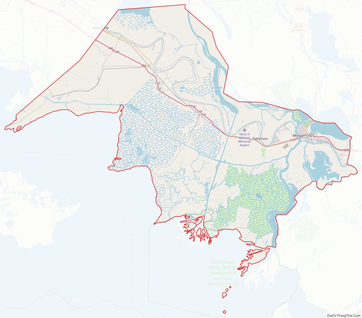
St. Mary Parish Road Map
Geography
According to the U.S. Census Bureau, the parish has a total area of 1,119 square miles (2,900 km), of which 555 square miles (1,440 km) is land and 564 square miles (1,460 km) (50%) is water. Cypremort Point State Park is located in the parish on Vermilion Bay.
Major highways
- Future Interstate 49
- U.S. Highway 90
- Louisiana Highway 83
- Louisiana Highway 87
- Louisiana Highway 182
- Louisiana Highway 317
- Louisiana Highway 318
Adjacent parishes
- Iberia Parish (north)
- St. Martin Parish (east)
- Assumption Parish (southeast)
- Terrebonne Parish (south)
St. Mary Parish Topographic Map
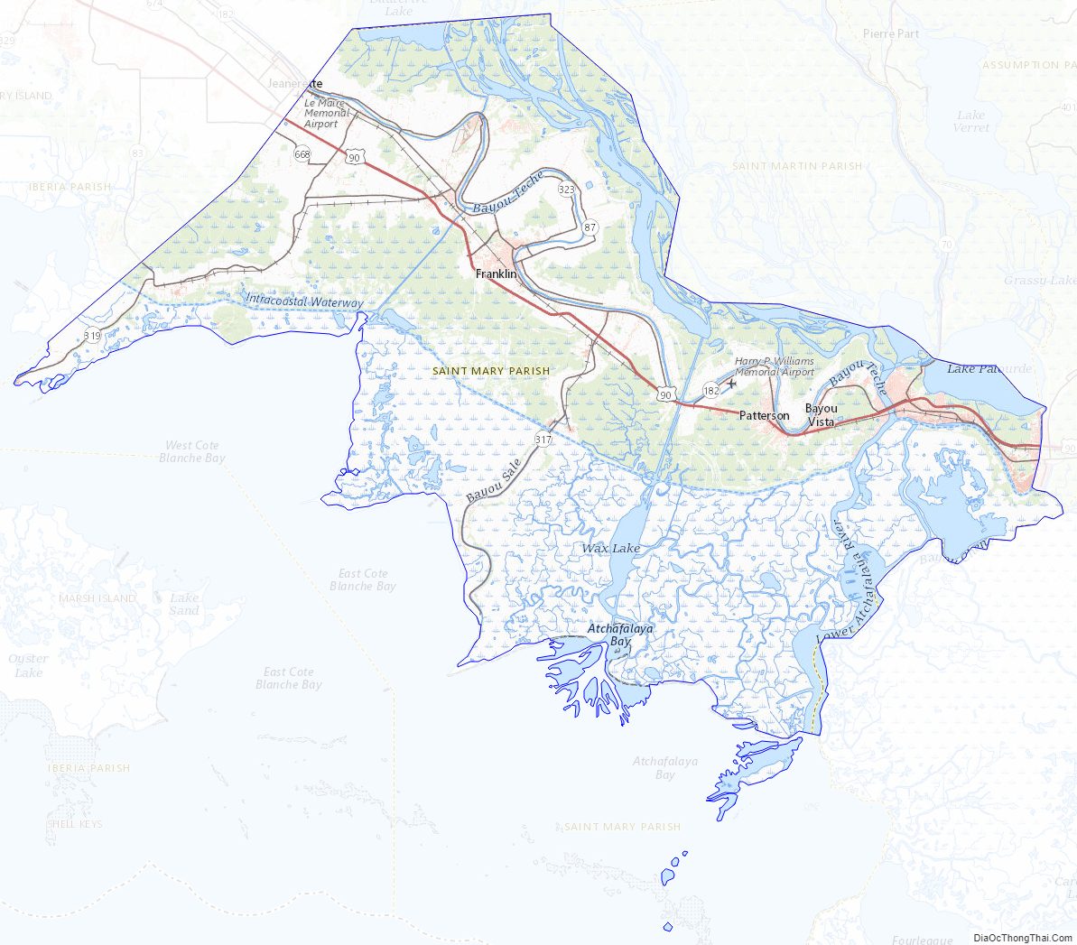
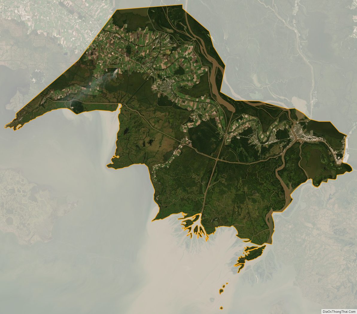
St. Mary Parish Satellite Map
St. Mary Parish Outline Map