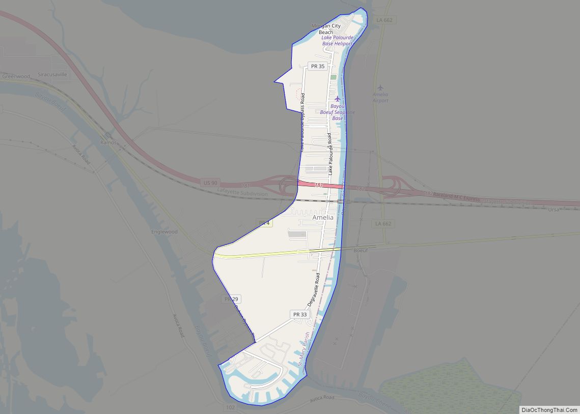
Amelia is a census-designated place (CDP) in St. Mary Parish, Louisiana, United States. The population was 2,459 at the 2010 census. It is part of the Morgan City Micropolitan Statistical Area.
| Name: | Amelia CDP |
|---|---|
| LSAD Code: | 57 |
| LSAD Description: | CDP (suffix) |
| State: | Louisiana |
| County: | St. Mary Parish |
| Elevation: | 7 ft (2 m) |
| Total Area: | 2.78 sq mi (7.20 km²) |
| Land Area: | 2.52 sq mi (6.53 km²) |
| Water Area: | 0.26 sq mi (0.67 km²) |
| Total Population: | 2,132 |
| Population Density: | 845.70/sq mi (326.56/km²) |
| Area code: | 985 |
| FIPS code: | 2201815 |
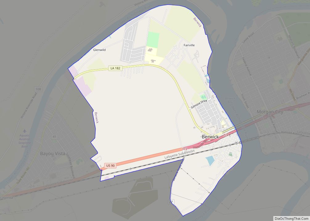
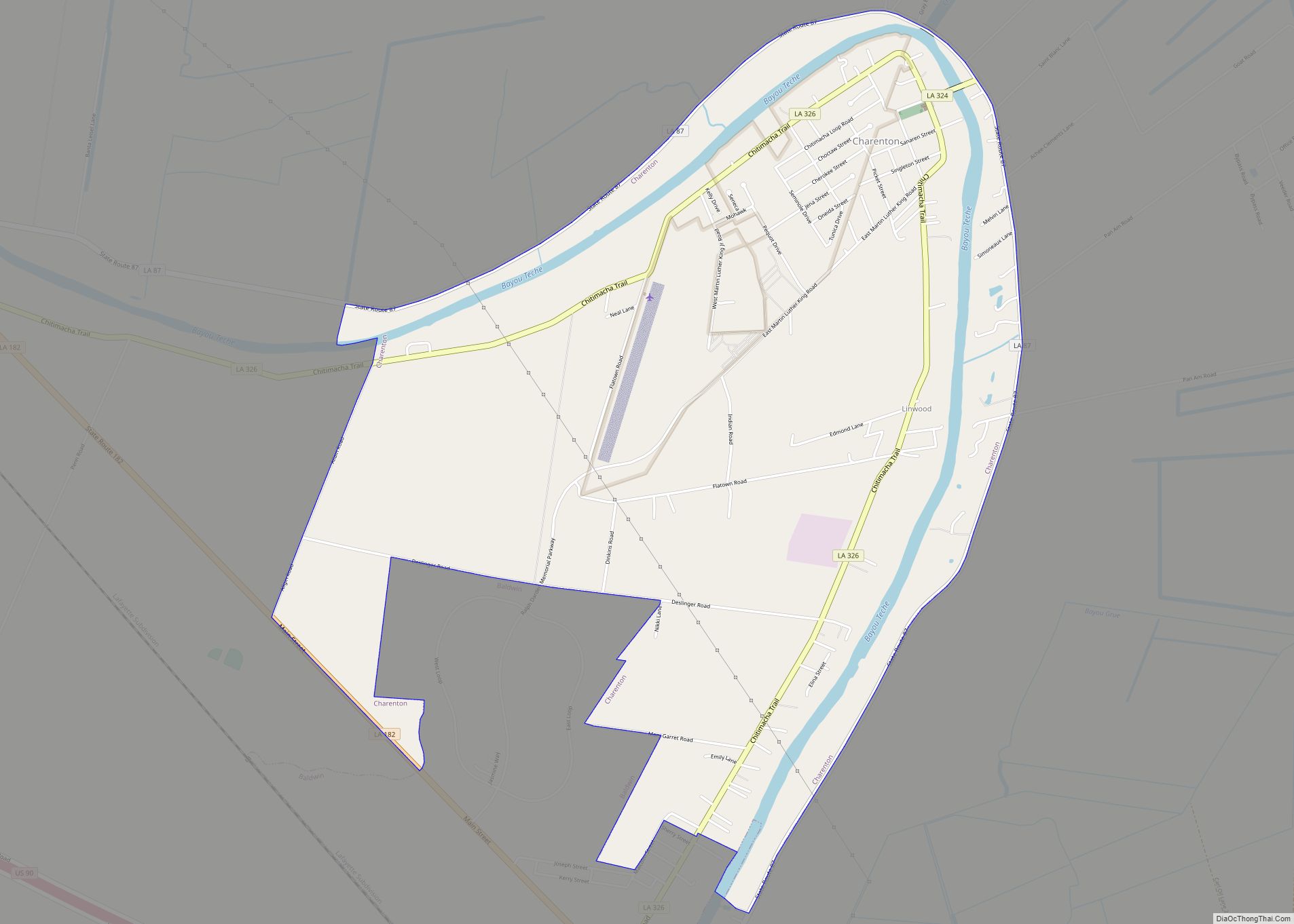
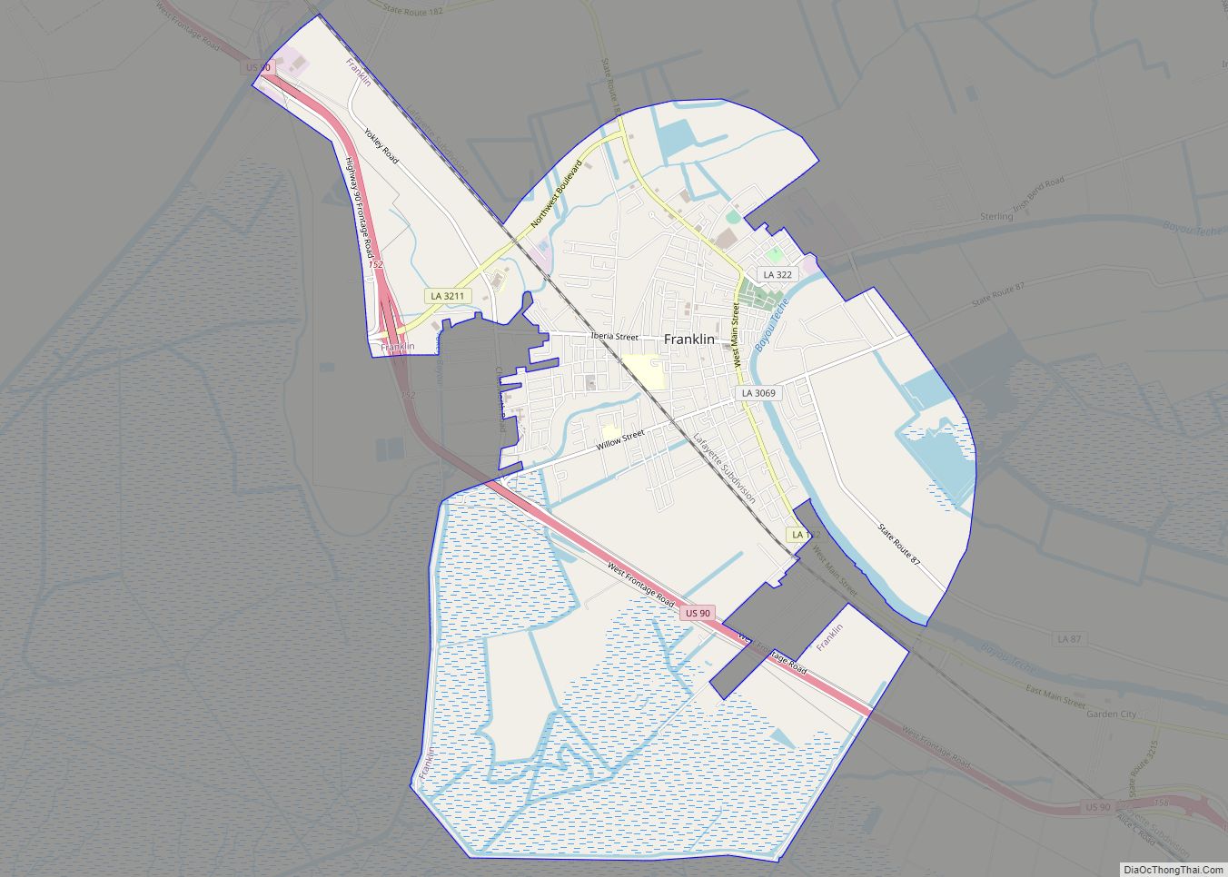
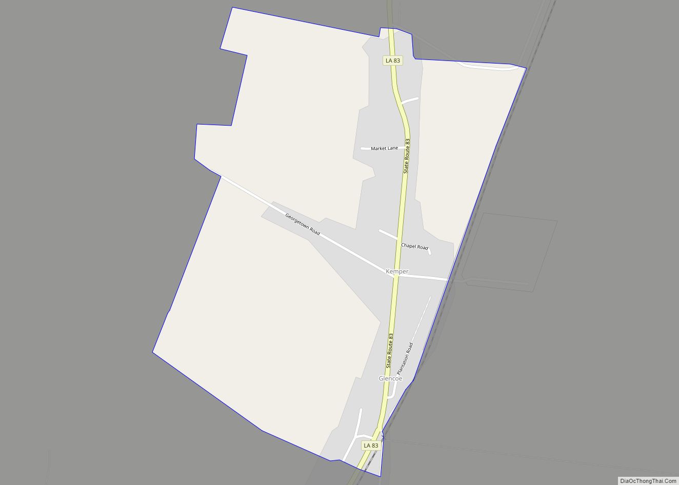
Online Interactive Map
Click on ![]() to view map in "full screen" mode.
to view map in "full screen" mode.
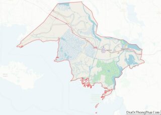
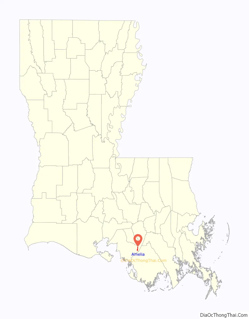
Amelia location map. Where is Amelia CDP?

History
The first postmaster named the town after Amelia Dupuis, his fiancée, who died shortly before their wedding day.
Amelia Road Map
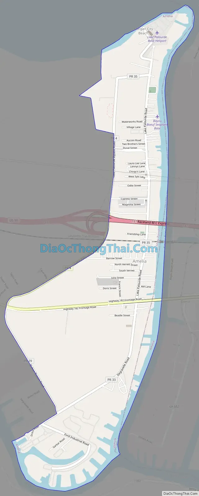
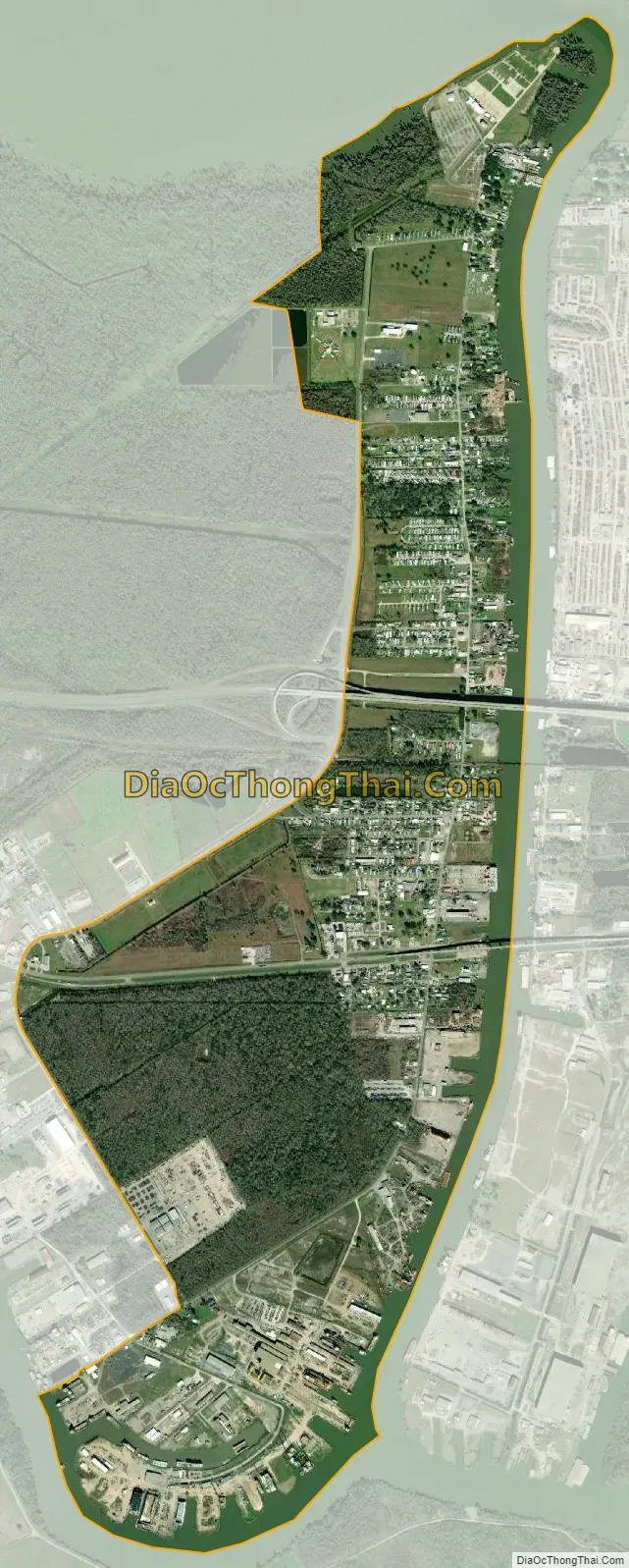
Amelia city Satellite Map
Geography
Amelia is located at 29°40′24″N 91°6′11″W / 29.67333°N 91.10306°W / 29.67333; -91.10306 (29.673361, -91.103181).
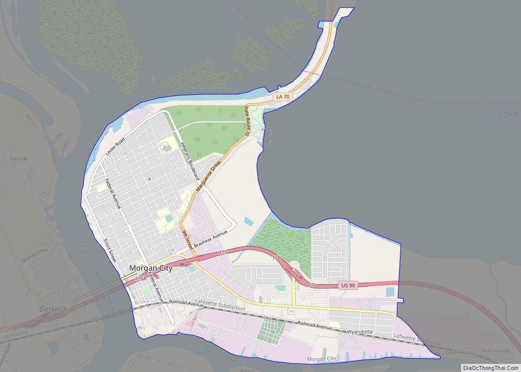
On the eastern side of Amelia over Bayou Boeuf is the Assumption Parish line and the unincorporated community of Boeuf, Louisiana. Morgan City is located 8 miles (13 km) to the west.
According to the United States Census Bureau, the CDP has a total area of 2.8 square miles (7.3 km), of which 2.6 square miles (6.7 km) is land and 0.27 square miles (0.7 km), or 9.12%, is water.
See also
Map of Louisiana State and its subdivision:- Acadia
- Allen
- Ascension
- Assumption
- Avoyelles
- Beauregard
- Bienville
- Bossier
- Caddo
- Calcasieu
- Caldwell
- Cameron
- Catahoula
- Claiborne
- Concordia
- De Soto
- East Baton Rouge
- East Carroll
- East Feliciana
- Evangeline
- Franklin
- Grant
- Iberia
- Iberville
- Jackson
- Jefferson
- Jefferson Davis
- La Salle
- Lafayette
- Lafourche
- Lincoln
- Livingston
- Madison
- Morehouse
- Natchitoches
- Orleans
- Ouachita
- Plaquemines
- Pointe Coupee
- Rapides
- Red River
- Richland
- Sabine
- Saint Bernard
- Saint Charles
- Saint Helena
- Saint James
- Saint John the Baptist
- Saint Landry
- Saint Martin
- Saint Mary
- Saint Tammany
- Tangipahoa
- Tensas
- Terrebonne
- Union
- Vermilion
- Vernon
- Washington
- Webster
- West Baton Rouge
- West Carroll
- West Feliciana
- Winn
- Alabama
- Alaska
- Arizona
- Arkansas
- California
- Colorado
- Connecticut
- Delaware
- District of Columbia
- Florida
- Georgia
- Hawaii
- Idaho
- Illinois
- Indiana
- Iowa
- Kansas
- Kentucky
- Louisiana
- Maine
- Maryland
- Massachusetts
- Michigan
- Minnesota
- Mississippi
- Missouri
- Montana
- Nebraska
- Nevada
- New Hampshire
- New Jersey
- New Mexico
- New York
- North Carolina
- North Dakota
- Ohio
- Oklahoma
- Oregon
- Pennsylvania
- Rhode Island
- South Carolina
- South Dakota
- Tennessee
- Texas
- Utah
- Vermont
- Virginia
- Washington
- West Virginia
- Wisconsin
- Wyoming