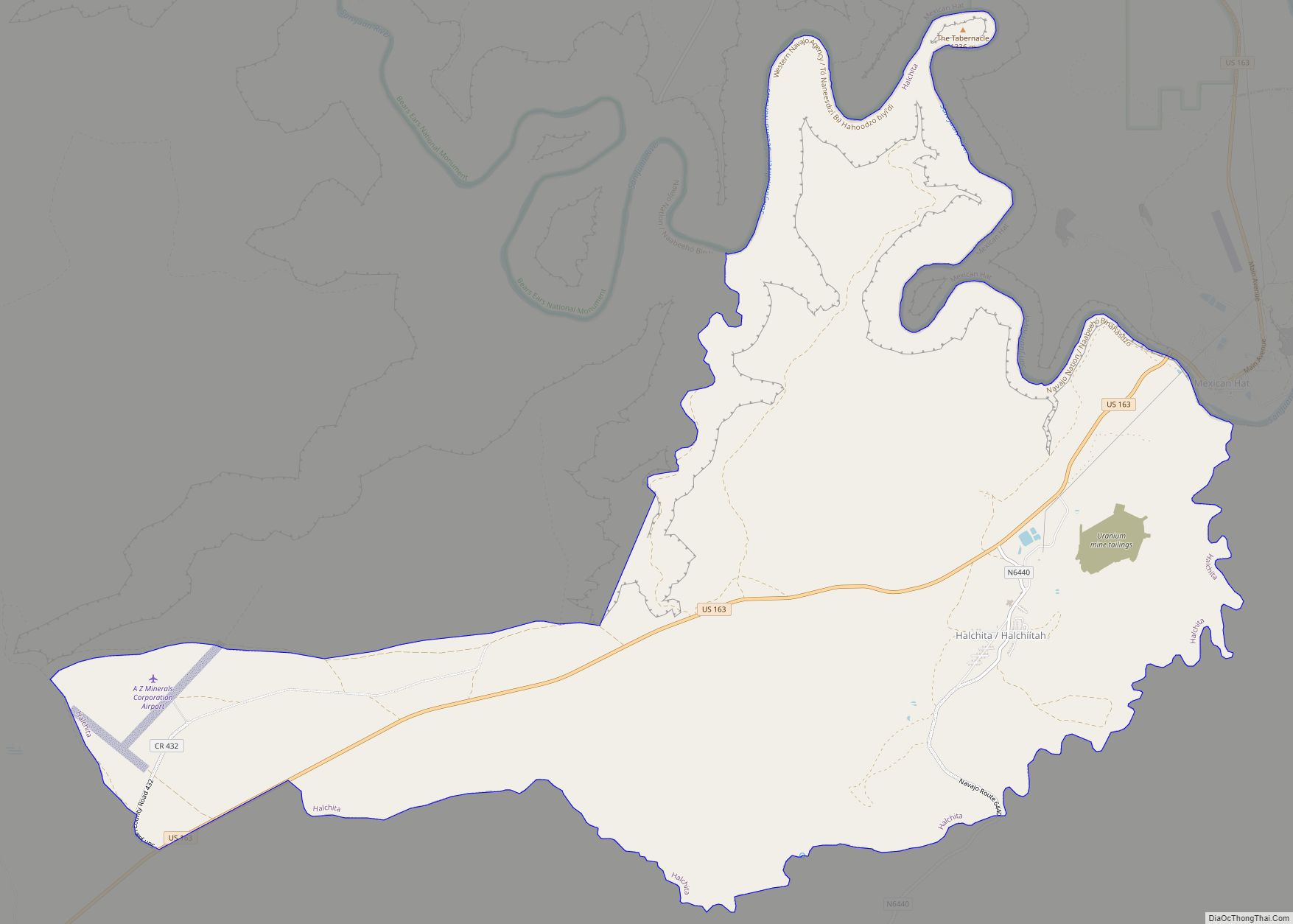
San Juan County (/sæn ˈwɑːn/ san-WAHN) is a county in the southeastern portion of the U.S. state of Utah. As of the 2010 United States Census, the population was 14,746. Its county seat is Monticello, while its most populous city is Blanding. The Utah State Legislature named the county for the San Juan River, itself named by Spanish explorers (in honor of Saint John).
San Juan County borders Arizona, Colorado, and New Mexico at the Four Corners.
| Name: | San Juan County |
|---|---|
| FIPS code: | 49-037 |
| State: | Utah |
| Founded: | February 17, 1880 |
| Named for: | San Juan River |
| Seat: | Monticello |
| Largest city: | Blanding |
| Total Area: | 7,933 sq mi (20,550 km²) |
| Land Area: | 7,820 sq mi (20,300 km²) |
| Total Population: | 14,518 |
| Population Density: | 1.8/sq mi (0.71/km²) |
| Time zone: | UTC−7 (Mountain) |
| Summer Time Zone (DST): | UTC−6 (MDT) |
| Website: | sanjuancounty.org |
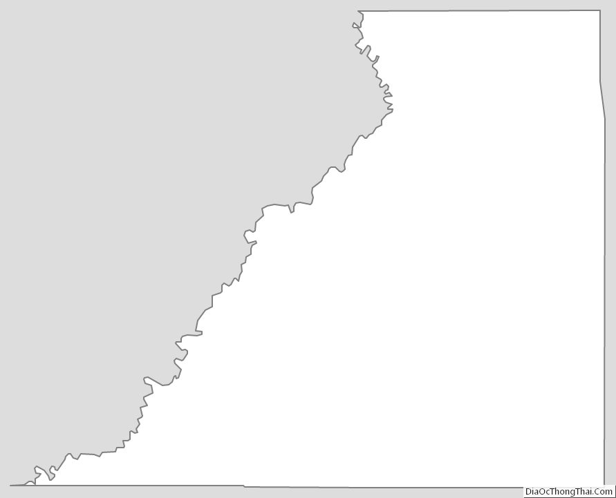
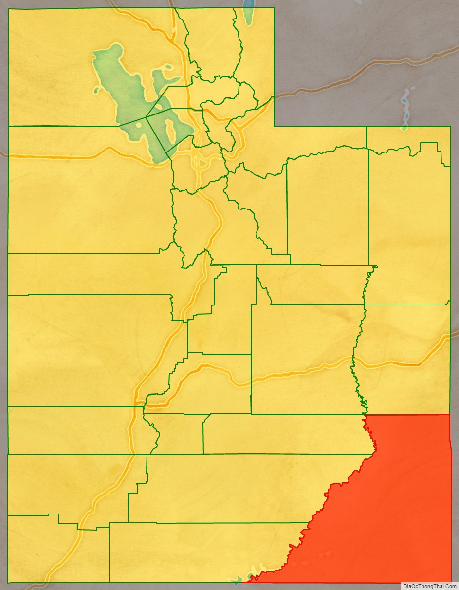
San Juan County location map. Where is San Juan County?

History
The Utah Territory authorized creation of San Juan County on February 17, 1880, with territories annexed from Iron, Kane, and Piute counties. There has been no change in its boundaries since its creation. Monticello was founded in 1887, and by 1895 it was large enough to be designated the seat of San Juan County.
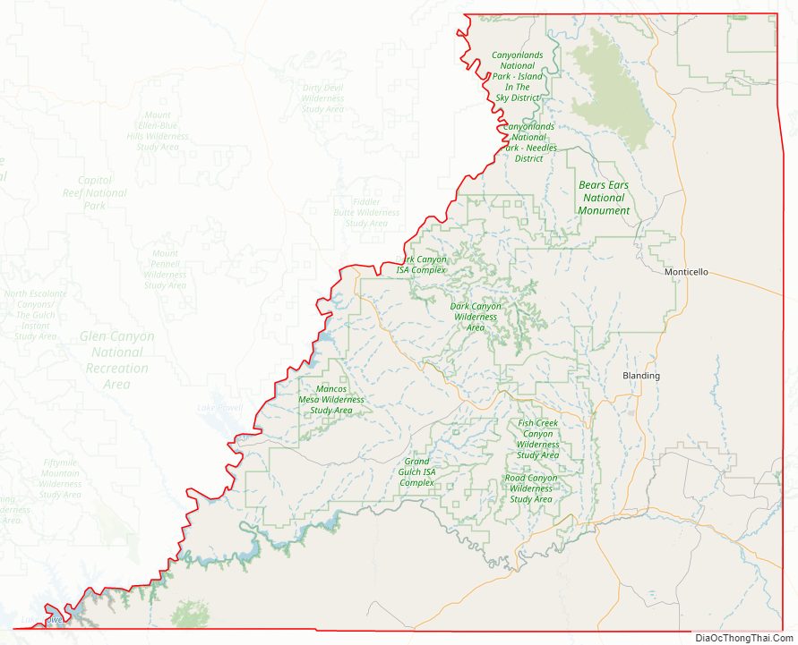
San Juan County Road Map

Geography
San Juan County lies in the southeastern corner of the state of Utah. Its borders coincide with the borders of the states of Colorado, New Mexico, and Arizona with Utah. The convergence point of these borders, Four Corners Monument, is located at the extreme southeastern corner of the county.
The county’s terrain generally slopes to the west and the south, with its highest point, Mount Peale, at 12,726 feet (3,879 m) above sea level. The county has a total area of 7,933 square miles (20,550 km), of which 7,820 square miles (20,300 km) is land and 113 square miles (290 km) (1.4%) is water. It is the largest county by area in Utah.
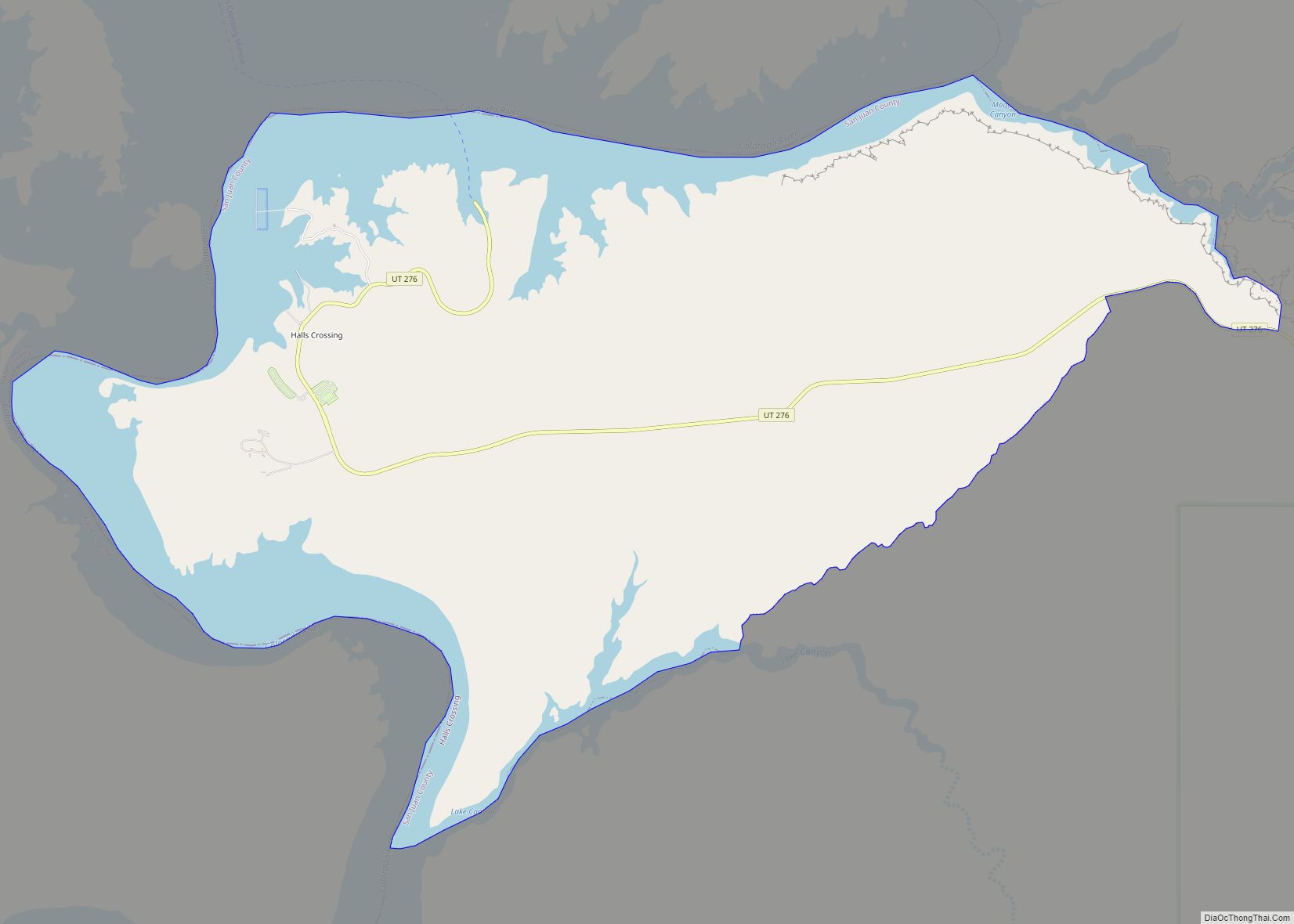
The county’s western and southern boundaries lie deep within gorges carved by the Colorado and San Juan Rivers. Tributary canyons, cutting through rock layers of the surrounding deserts, have carved the land up with chasms, cliffs, and plateaus. In the center of the county are Cedar Mesa, Comb Wash, Natural Bridges and Hovenweep National Monuments. Canyonlands National Park lies mostly within the county borders. The Eastern side of Glen Canyon National Recreation Area / Lake Powell is also in the county.
The Blue (Abajo) Mountains and the La Sal Mountains exceed 12,000 feet (3,700 m) in elevation. Both ranges are covered with lush forests, contrasting the scenery below. The elevation change within the county is from nearly 13,000 feet (4,000 m) in the La Sal Mountains to 3,000 feet (910 m) at Lake Powell, a difference of about 10,000 feet (3,000 m).
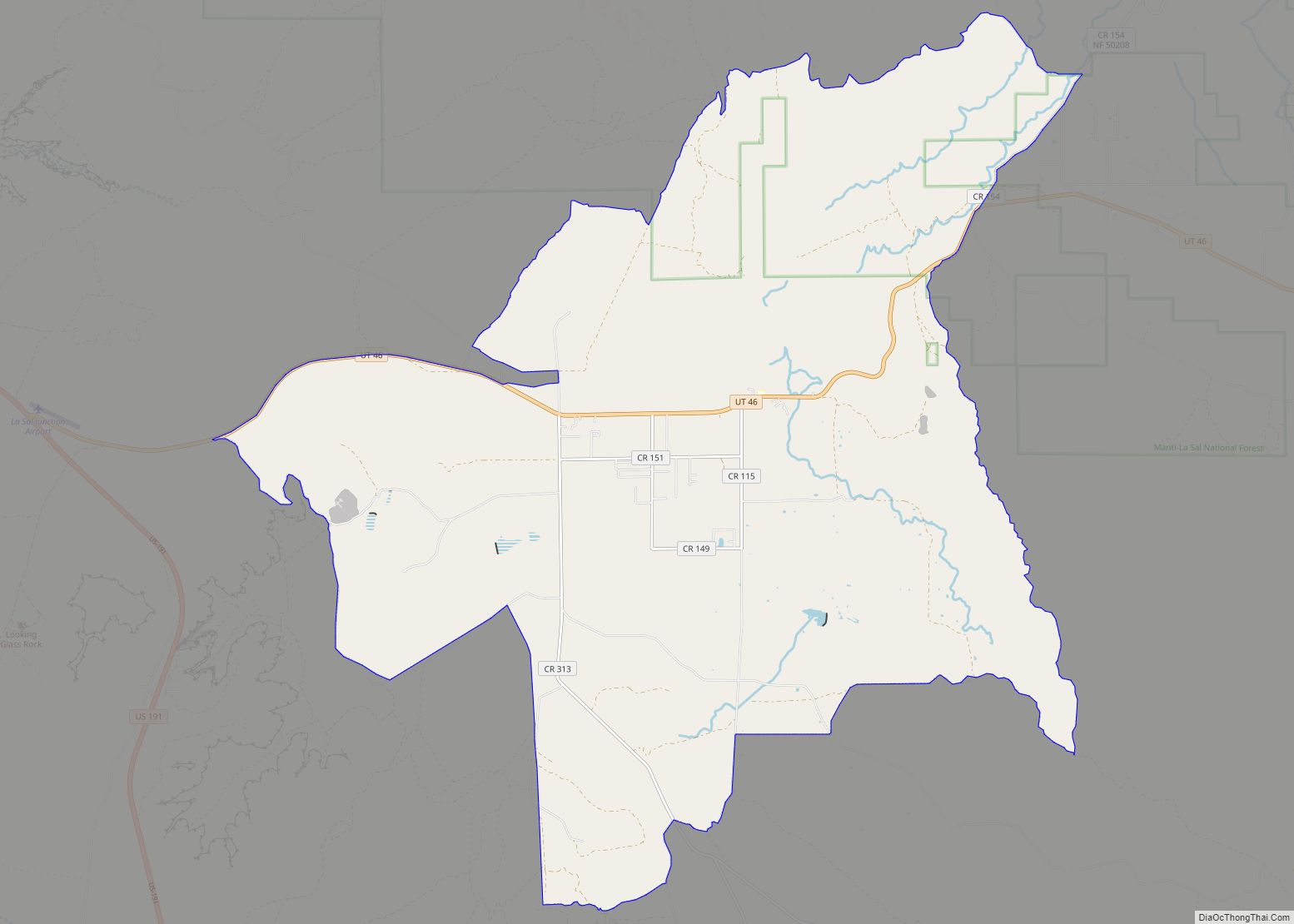
The county’s towns lie primarily on a north-south axis along U.S. routes 191 and 163 from La Sal in the north to Monument Valley in the south.
Natural resources
In 2018, the only operating uranium processing plant in the United States was located in the town of Blanding; however, the plant was moved to be on standby in 2019.
San Juan County is home to numerous oil and gas fields, including Squaw Canyon Oil Field, that produce primarily from the Desert Creek and Ismay Formations.
Major highways
- US 163
- US 191
- US 491
- SR-46
- SR-95
- SR-162
- SR-261
- SR-276
Adjacent counties
- Grand County – north
- Mesa County, Colorado – northeast
- Montrose County, Colorado – northeast
- San Miguel County, Colorado – east
- Dolores County, Colorado – east
- Montezuma County, Colorado – east
- San Juan County, New Mexico – southeast
- Apache County, Arizona – south
- Navajo County, Arizona – south
- Coconino County, Arizona – southwest
- Kane County – west
- Garfield County – west
- Wayne County – west
- Emery County – northwest
San Juan County is bordered by more counties than any other county in the United States, at 14.
Protected areas
- Bears Ears National Monument
- Canyonlands National Park (part)
- Dark Canyon Primitive Area
- Glen Canyon National Recreation Area (part)
- Grand Gulch Primitive Area
- Hovenweep National Monument (part)
- Manti-La Sal National Forest (part)
- Natural Bridges National Monument
- Rainbow Bridge National Monument
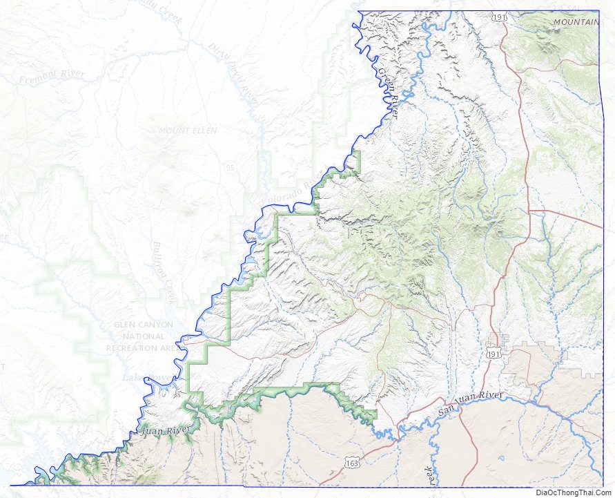
San Juan County Topographic Map
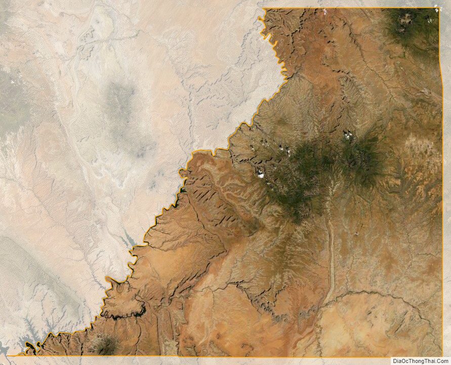
San Juan County Satellite Map
San Juan County Outline Map