Scott County is a county located in the central part of the U.S. state of Kentucky. As of the 2020 census, the population was 57,155. Scott County is part of the Lexington–Fayette, Kentucky Metropolitan Statistical Area.
| Name: | Scott County |
|---|---|
| FIPS code: | 21-209 |
| State: | Kentucky |
| Founded: | 1792 |
| Named for: | General Charles Scott |
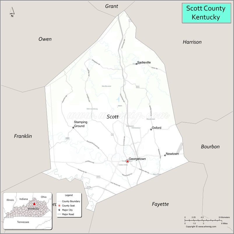
| Seat: | Georgetown |
| Largest city: | Georgetown |
| Total Area: | 285 sq mi (740 km²) |
| Land Area: | 282 sq mi (730 km²) |
| Total Population: | 57,155 |
| Population Density: | 200/sq mi (77/km²) |
| Time zone: | UTC−5 (Eastern) |
| Summer Time Zone (DST): | UTC−4 (EDT) |
| Website: | www.scottky.com |
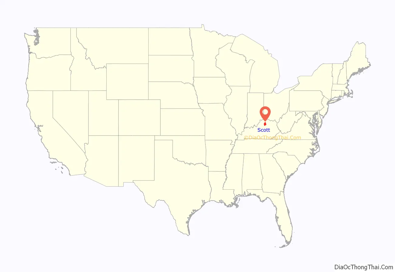
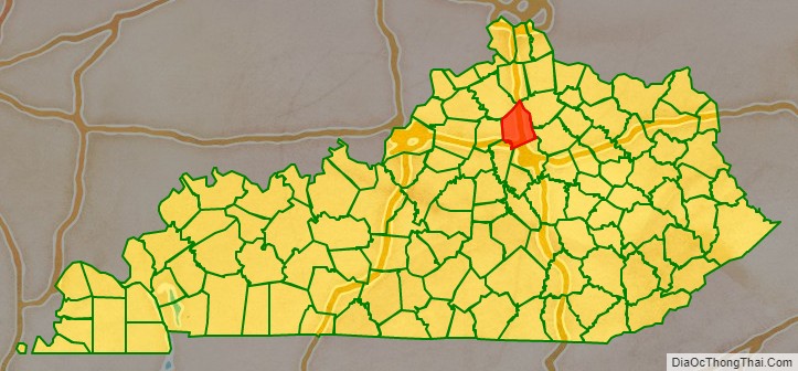
Scott County location map. Where is Scott County?
History
Native Americans inhabited the Scott County area from perhaps 15,000 years ago. Evidence has been identified that belongs the Adena culture (800 B.C. – 800 A.D.), including several significant Adena mounds.
The area was explored by American explorers as early as 1774. One of the earliest settlers was John McClelland from Pennsylvania, who built McLelland’s Fort overlooking the Georgetown spring. During the American Revolution, pro-British Native Americans attacked McLelland’s Fort in 1777, causing the settlement to be abandoned. Six years later, a new and permanent settlement was founded by Robert and Jemima Johnson, who built Johnson Station (later called Great Crossing), near the north fork of Elkhorn Creek, about five miles west of today’s Georgetown.
All of Kentucky was originally part of Virginia‘s frontier. However, in 1776 Virginia reorganized it as Kentucky County. In 1780 this county was divided into the three large counties of Lincoln, Jefferson, and Fayette. In 1788, Fayette County was divided to create Woodford County.
On June 1, 1792, the state of Kentucky came into existence. An early act of the new state legislature divided Woodford County into two counties. One of these became Scott County, named for General Charles Scott, a Revolutionary War hero, who would serve as Kentucky’s fourth governor (1808-1812). Its area was taken from the existing Woodford County. Other counties established before the end of 1792 were Clark, Shelby, Logan, and Green counties.
In 1784, Elijah Craig (1743-1808), a Virginia preacher, induced the Virginia legislature to incorporate the town of Lebanon, near the site of McLelland’s Fort. In 1790 the town’s name was changed to George Town, to honor then-President George Washington. Elijah Craig is also credited with founding the county’s first classical school, the first sawmill, the first gristmill, the first fulling and paper mill, the first ropewalk, and (possibly) the area’s first bourbon whiskey. On December 27, 1787, edition of the Kentucky Gazette, he solicited scholars to study at an academy that would open in January 1788 “in Lebanon town,” and would offer courses in Latin, Greek, and “such branches of the sciences as are usually taught in public seminaries.” Ten years later the school was absorbed by the Rittenhouse Academy, which was given by the state some 5,900 acres in Christian and Cumberland counties so that they might sell the land to benefit their endowment fund. The academy, in turn, was absorbed by Georgetown College in 1829.
The community went into a decline after the death of Elijah Craig in 1808. When Elder Barton Warren Stone (1772-1844), a founder of the Christian Churches movement during the Great Revival, moved to Georgetown in 1816 to become principal of Rittenhouse Academy, he found the community “notorious for its wickedness and irreligion.”
In 1825, the Choctaw Nation established the Choctaw Academy at Blue Spring in Scott County. They operated the school for Choctaw boys until 1842, when it was closed. The staff and records moved to the Choctaw Nation, Indian Territory, where the Choctaw Nation had been relocated in the 1830s. In 1844 the Spencer Academy opened as the school for Choctaw boys, while a school was also opened for girls. Later in the century, they allowed Baptist missionaries to found the Armstrong Academy there.
During the American Civil War, Scott County furnished the Union Army with 118 soldiers, while about 1,000 enlisted in the Confederate Army. On November 18, 1861, Scott County native George W. Johnson was elected the provisional Confederate governor of Kentucky.
Scott County is a moist county, meaning that is a dry county with a wet city (Georgetown) within it.
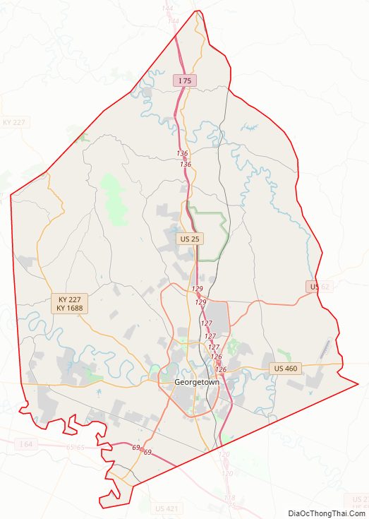
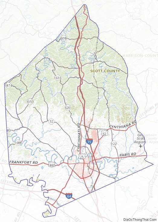
Scott County Road Map
Geography
According to the United States Census Bureau, the county has a total area of 285 square miles (740 km), of which 282 square miles (730 km) is land and 3.7 square miles (9.6 km) (1.3%) is water.
Adjacent counties
- Grant County (north)
- Harrison County (northeast)
- Bourbon County (east)
- Fayette County (southeast)
- Woodford County (southwest)
- Franklin County (west)
- Owen County (northwest)
Scott County Topographic Map
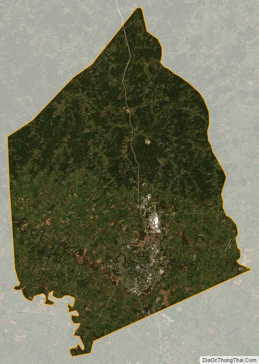
Scott County Satellite Map
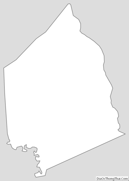
Scott County Outline Map