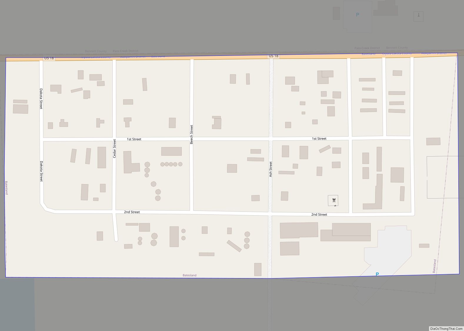
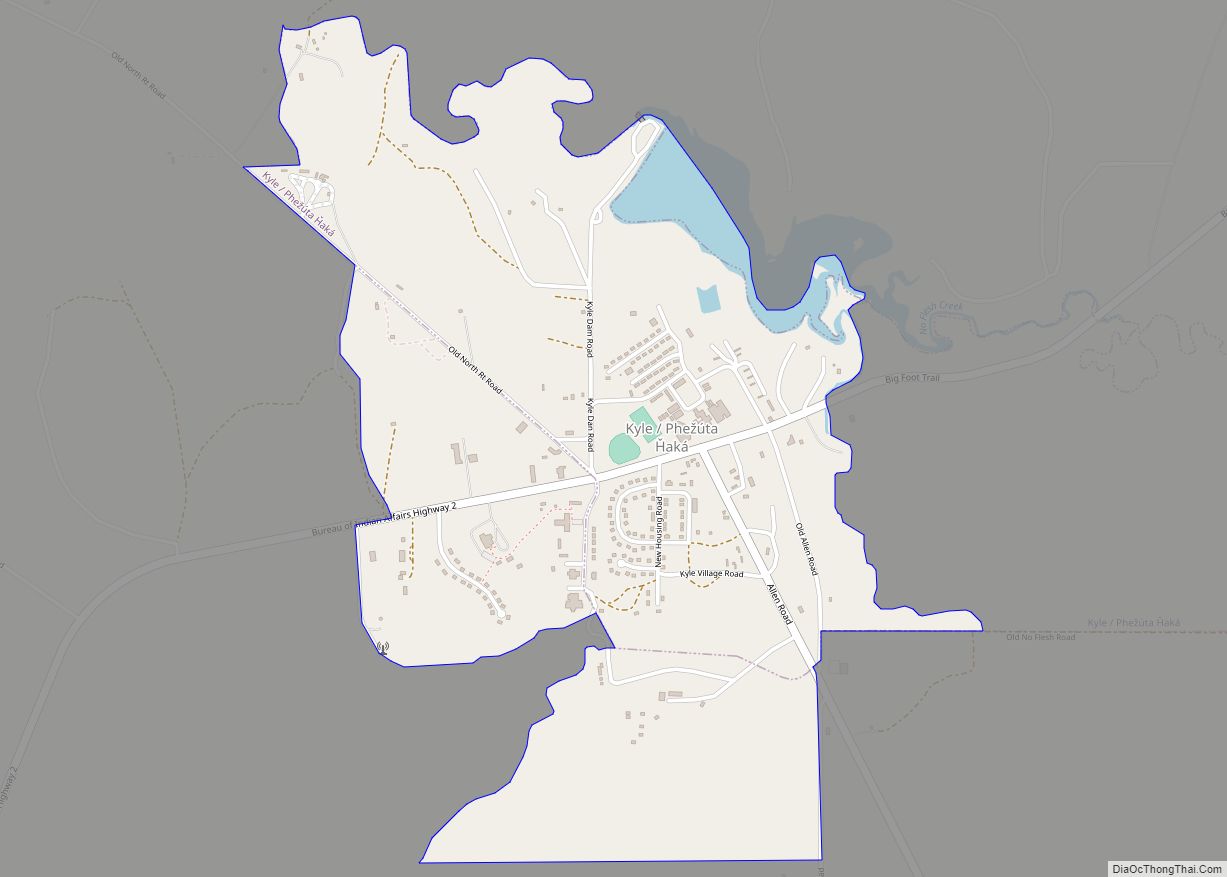
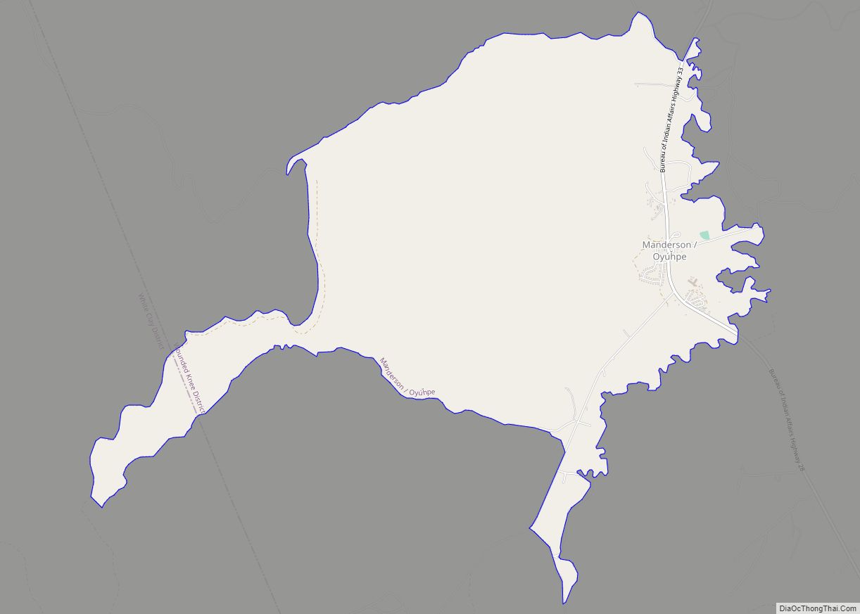
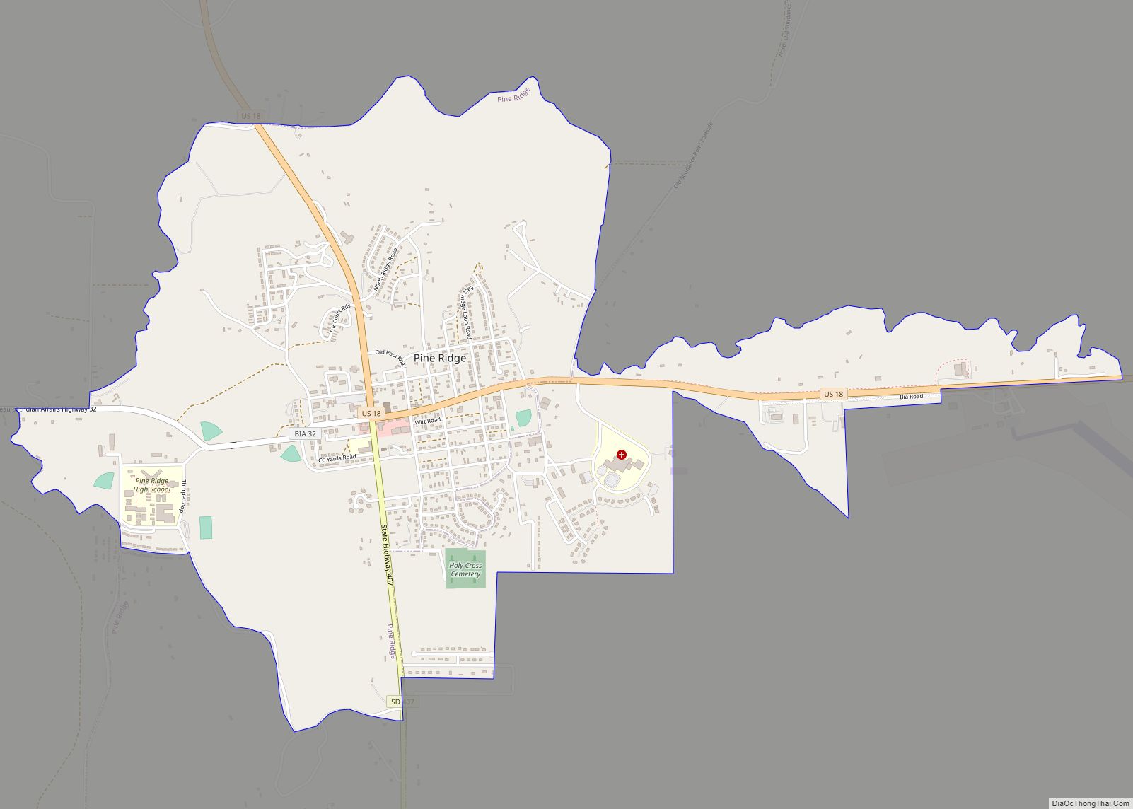
Oglala Lakota County (known as Shannon County until May 2015) is a county in southwestern South Dakota, United States. The population was 13,672 at the 2020 census. Oglala Lakota County does not have a functioning county seat; Hot Springs in neighboring Fall River County serves as its administrative center. The county was created as a part of the Dakota Territory in 1875, although it remains unorganized. Its largest community is Pine Ridge.
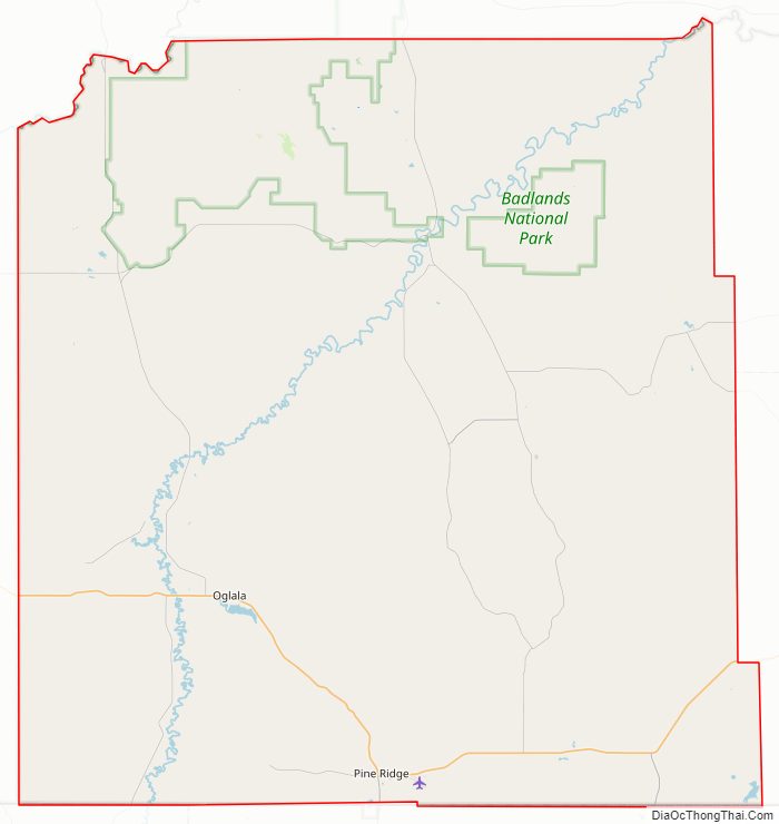
The county lies entirely within the Pine Ridge Indian Reservation and contains part of Badlands National Park. It is one of five South Dakota counties entirely on an Indian reservation.
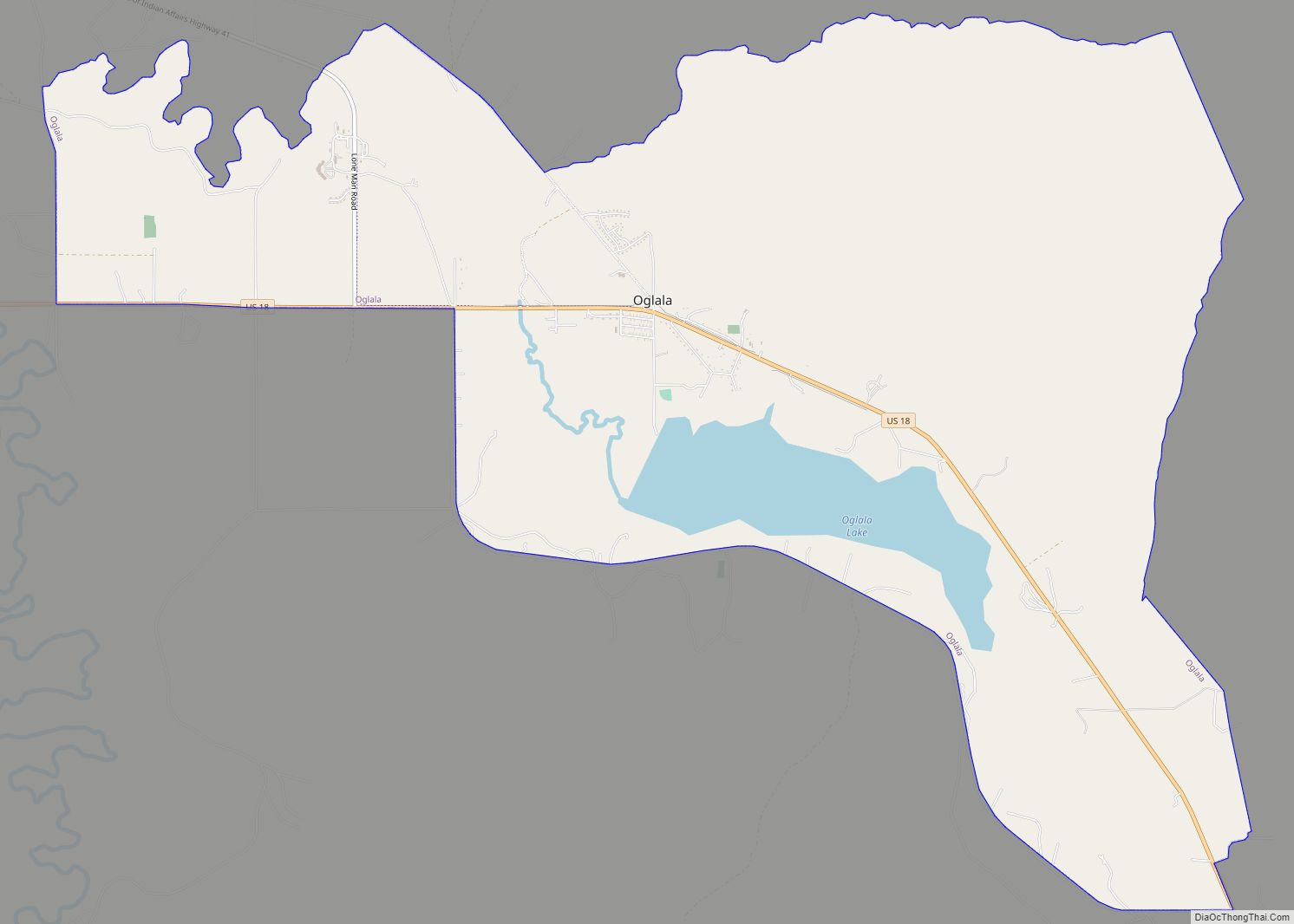
The county is named after the Oglala Lakota, a band of the Lakota people. Many of the county’s inhabitants are members of this sub-tribe.
Reservation poverty affects the county, which is the poorest county in the continental US. (28 county-equivalents in the U.S. territories are poorer). Oglala Lakota County is the only dry county in South Dakota.
The newspaper for Oglala Lakota County is The Lakota Country Times.
| Name: | Oglala Lakota County |
|---|---|
| FIPS code: | 46-102 |
| State: | South Dakota |
| Founded: | 1875 |
| Named for: | Oglala Lakota people |
| Seat: | None (de jure) Hot Springs (de facto) |
| Total Area: | 2,097 sq mi (5,430 km²) |
| Land Area: | 2,094 sq mi (5,420 km²) |
| Total Population: | 13,672 |
| Population Density: | 6.5/sq mi (2.5/km²) |
| Time zone: | UTC−7 (Mountain) |
| Summer Time Zone (DST): | UTC−6 (MDT) |
| Website: | oglalalakota.sdcounties.org |
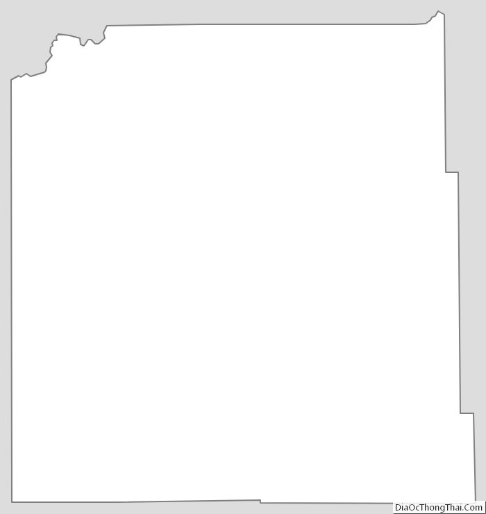
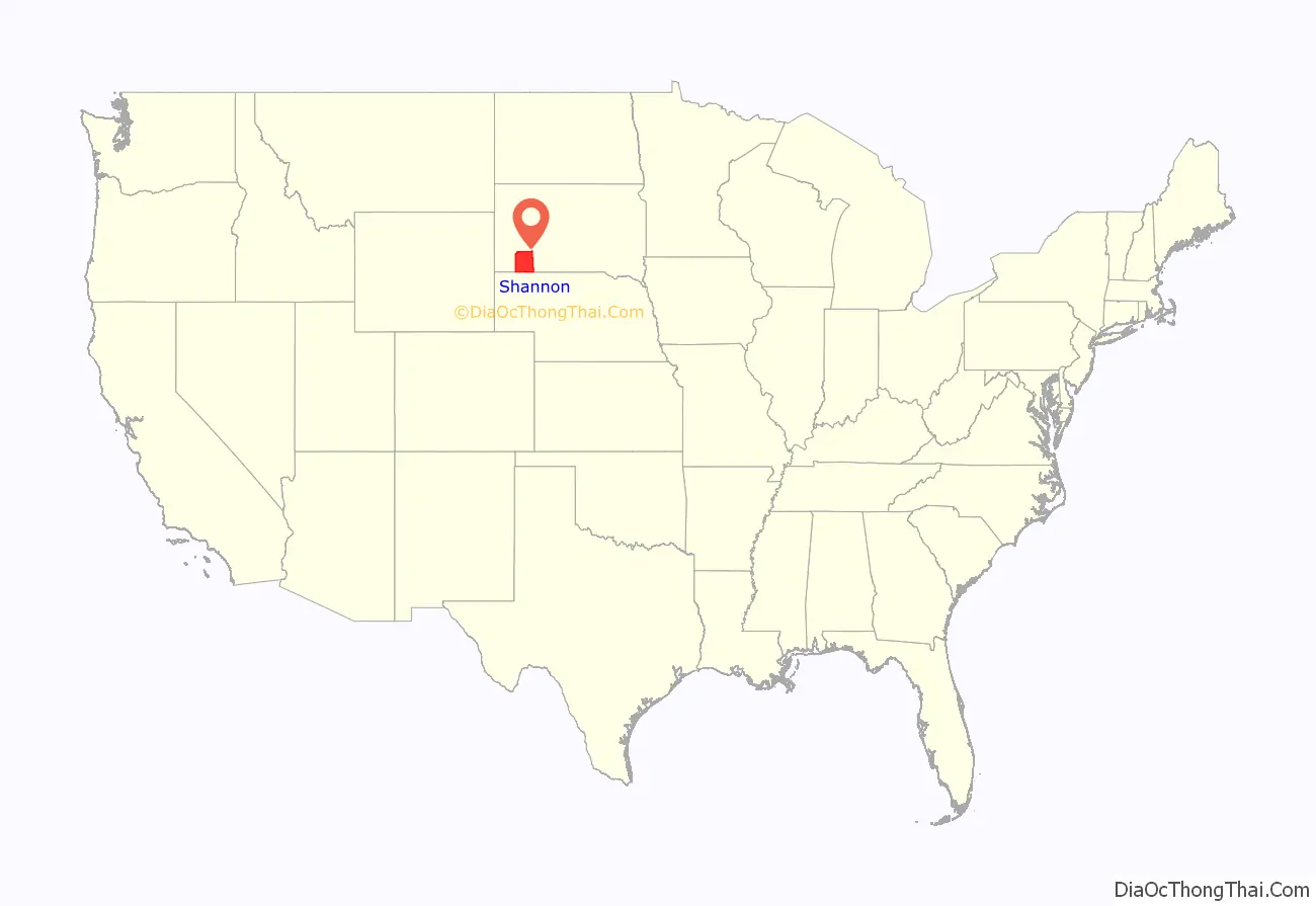
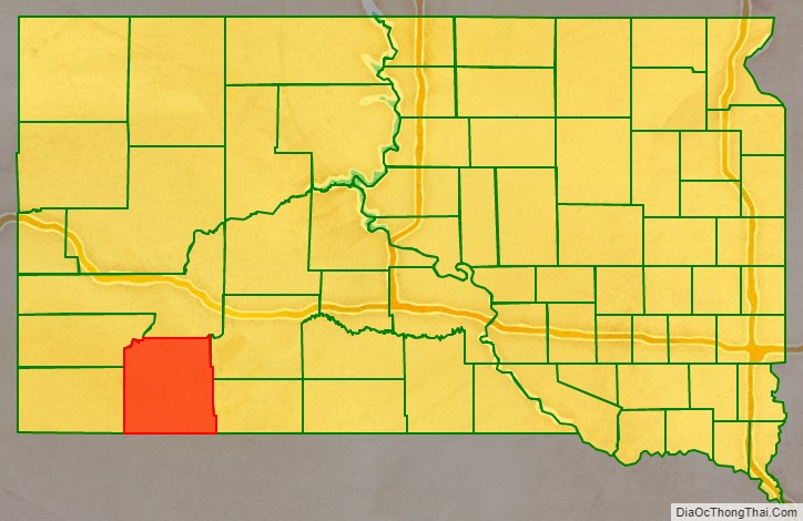
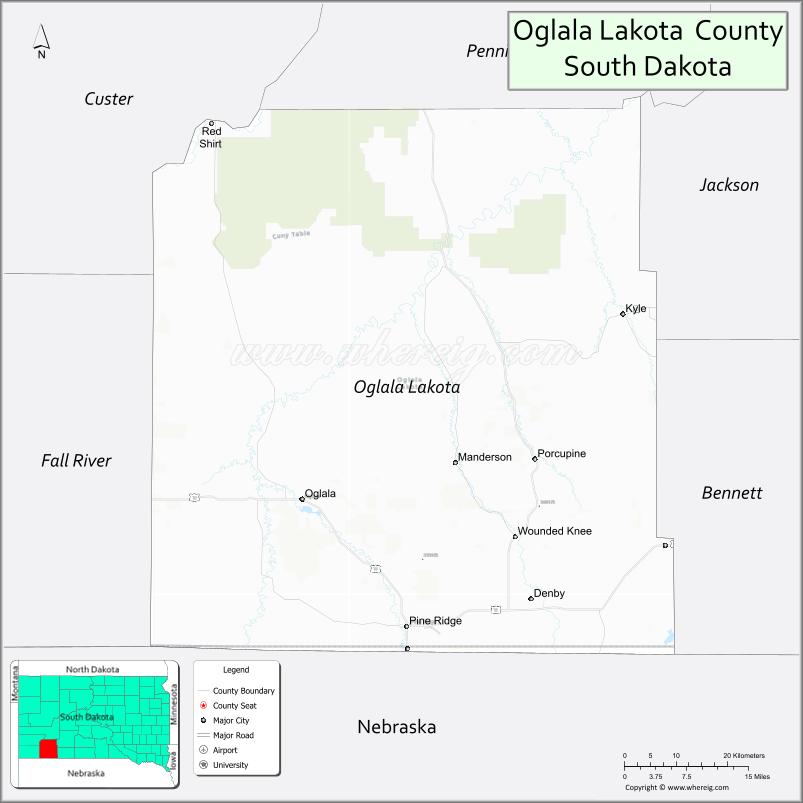
Oglala Lakota County location map. Where is Oglala Lakota County?
History
The Wounded Knee Massacre occurred in Oglala Lakota County in 1890.
The county was originally named for Peter C. Shannon, Chief Justice of the Dakota Territory Supreme Court. Until 1982, Shannon County and Washabaugh County, South Dakota, were the last unorganized counties in the United States. Although it was organized and received a home rule charter that year, the county, as noted above, contracts with Fall River County for its Auditor, Treasurer, and Registrar of Deeds.
On November 4, 2014, voters in the county voted by a margin of 2,161 to 526 to rename Shannon County to Oglala Lakota County. The name change was ratified by the state legislature on March 5, 2015. May 1, 2015 was proclaimed by the governor as the official day for renaming the county.
Oglala Lakota County Road Map
Geography
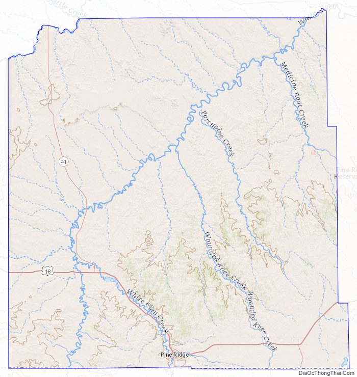
Oglala Lakota County lies on the south side of South Dakota. Its south boundary line abuts the north boundary line of the state of Nebraska. The Cheyenne River flows northeastward along the northwest boundary of Oglala Lakota County. The White River flows northeastward through the central part of the county. The county terrain is composed of semi-arid rolling hills spotted with small mountain crests, oriented NE-SW. The terrain slopes to the northeast; its highest point is on the south boundary line, close to the SW corner, at 3,619′ (1103m) ASL. The county has a total area of 2,097 square miles (5,430 km), of which 2,094 square miles (5,420 km) is land and 2.8 square miles (7.3 km) (0.1%) is water.
The county includes the headwaters of the Little White River.
Major highways
- U.S. Highway 18
- South Dakota Highway 40
- South Dakota Highway 391
- South Dakota Highway 407
Adjacent counties
- Pennington County – north
- Jackson County – northeast
- Bennett County – east
- Sheridan County, Nebraska – south
- Dawes County, Nebraska – southwest
- Fall River County – west
- Custer County – northwest
National protected area
- Badlands National Park (part)
Lakes
- Alkali Lake
- Denby Lake
- Lee Lake
- Oglala Lake
- Two Lance Lake
- Wakpamani Lake
- White Clay Lake
Source:
Oglala Lakota County Topographic Map
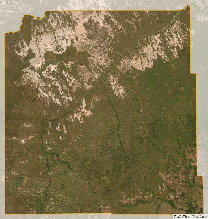
Oglala Lakota County Satellite Map
Oglala Lakota County Outline Map