Manderson-White Horse Creek (Lakota: oyúȟpe; the name of a band of the Oglala) is a census-designated place (CDP) in East Oglala Lakota Unorganized Territory (civil township equivalent) in Oglala Lakota County, South Dakota, United States. The population was 554 at the 2020 census. Oglala Lakota tribesman, Kicking Bear died here on May 28, 1904. He fought in several battles during the Black Hills War, including Battle of the Greasy Grass. His nephew, Felix Flying Hawk owned a ranch.
According to the Federal Writers’ Project, the origin of the name Manderson is obscure.
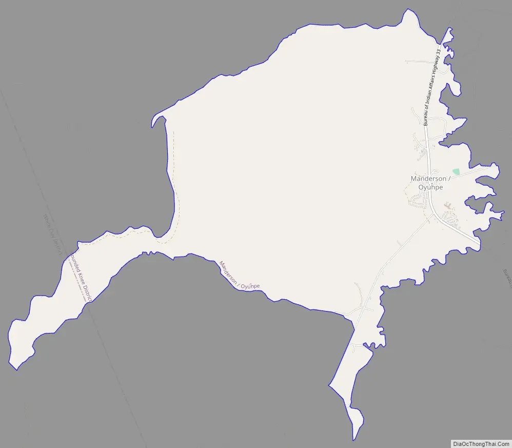
| Name: | Manderson-White Horse Creek CDP |
|---|---|
| LSAD Code: | 57 |
| LSAD Description: | CDP (suffix) |
| State: | South Dakota |
| County: | Oglala Lakota County |
| Total Area: | 5.73 sq mi (14.85 km²) |
| Land Area: | 5.73 sq mi (14.85 km²) |
| Water Area: | 0.00 sq mi (0.00 km²) |
| Total Population: | 554 |
| Population Density: | 96.63/sq mi (37.31/km²) |
| Area code: | 605 |
| FIPS code: | 4640550 |
Online Interactive Map
Click on ![]() to view map in "full screen" mode.
to view map in "full screen" mode.
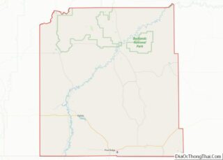
Manderson-White Horse Creek location map. Where is Manderson-White Horse Creek CDP?


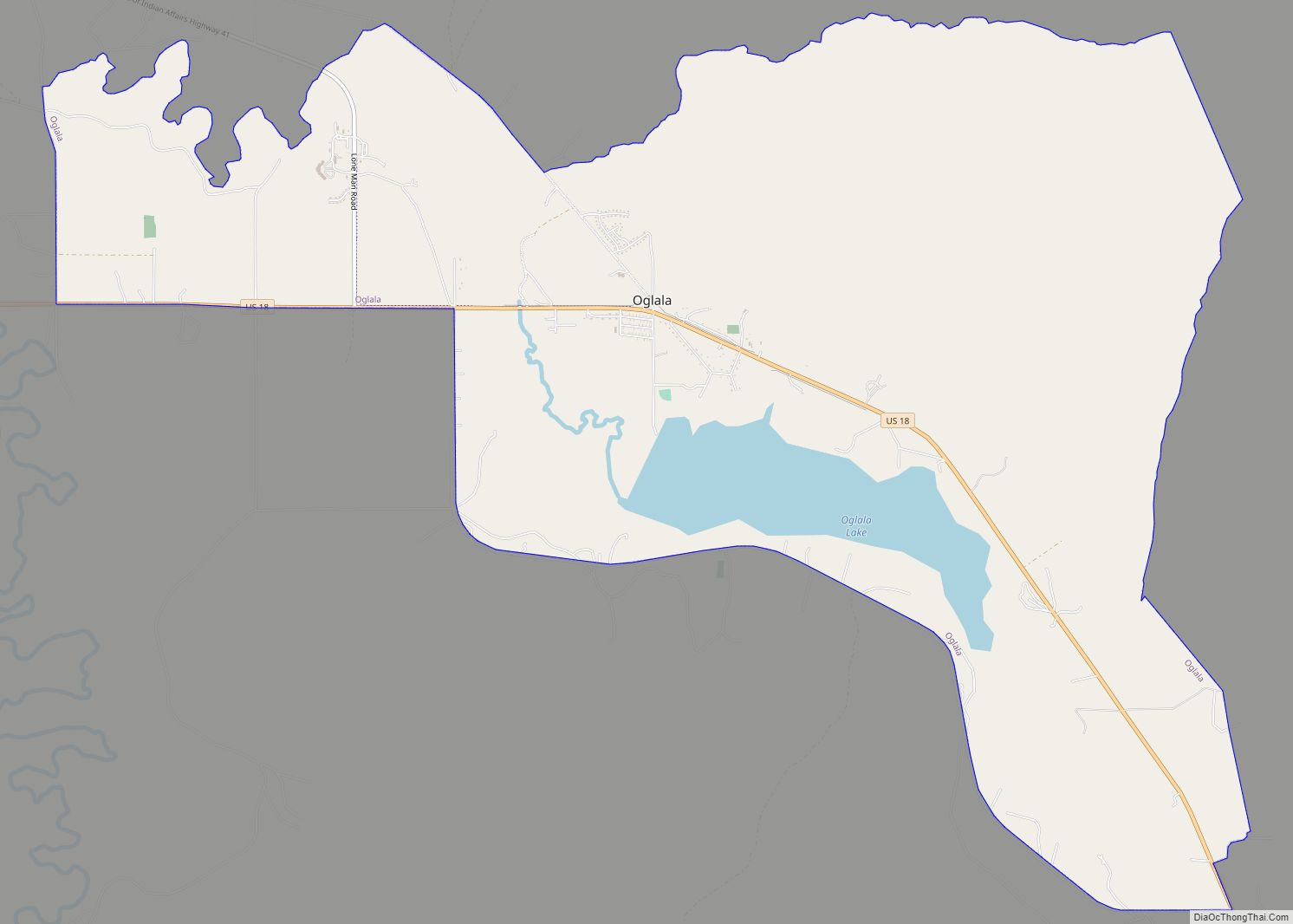
Manderson-White Horse Creek Road Map
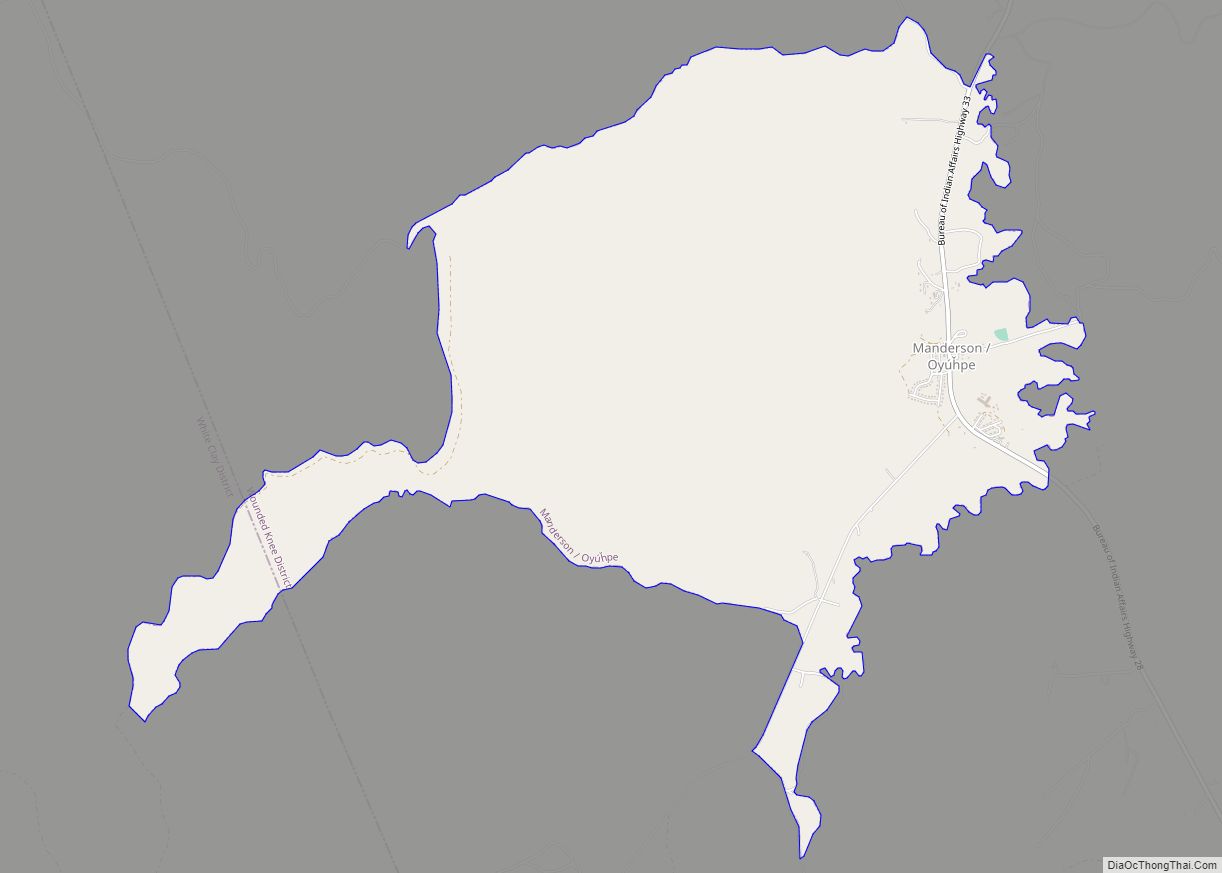
Manderson-White Horse Creek city Satellite Map

Geography
Manderson- is located at 43°13′44″N 102°28′24″W / 43.22889°N 102.47333°W / 43.22889; -102.47333 (43.228781, -102.473216).
According to the United States Census Bureau, the CDP has a total area of 5.7 square miles or 14.8 square kilometres, all land.
Manderson has been assigned the ZIP code 57756.
See also
Map of South Dakota State and its subdivision:- Aurora
- Beadle
- Bennett
- Bon Homme
- Brookings
- Brown
- Brule
- Buffalo
- Butte
- Campbell
- Charles Mix
- Clark
- Clay
- Codington
- Corson
- Custer
- Davison
- Day
- Deuel
- Dewey
- Douglas
- Edmunds
- Fall River
- Faulk
- Grant
- Gregory
- Haakon
- Hamlin
- Hand
- Hanson
- Harding
- Hughes
- Hutchinson
- Hyde
- Jackson
- Jerauld
- Jones
- Kingsbury
- Lake
- Lawrence
- Lincoln
- Lyman
- Marshall
- McCook
- McPherson
- Meade
- Mellette
- Miner
- Minnehaha
- Moody
- Pennington
- Perkins
- Potter
- Roberts
- Sanborn
- Shannon
- Spink
- Stanley
- Sully
- Todd
- Tripp
- Turner
- Union
- Walworth
- Yankton
- Ziebach
- Alabama
- Alaska
- Arizona
- Arkansas
- California
- Colorado
- Connecticut
- Delaware
- District of Columbia
- Florida
- Georgia
- Hawaii
- Idaho
- Illinois
- Indiana
- Iowa
- Kansas
- Kentucky
- Louisiana
- Maine
- Maryland
- Massachusetts
- Michigan
- Minnesota
- Mississippi
- Missouri
- Montana
- Nebraska
- Nevada
- New Hampshire
- New Jersey
- New Mexico
- New York
- North Carolina
- North Dakota
- Ohio
- Oklahoma
- Oregon
- Pennsylvania
- Rhode Island
- South Carolina
- South Dakota
- Tennessee
- Texas
- Utah
- Vermont
- Virginia
- Washington
- West Virginia
- Wisconsin
- Wyoming