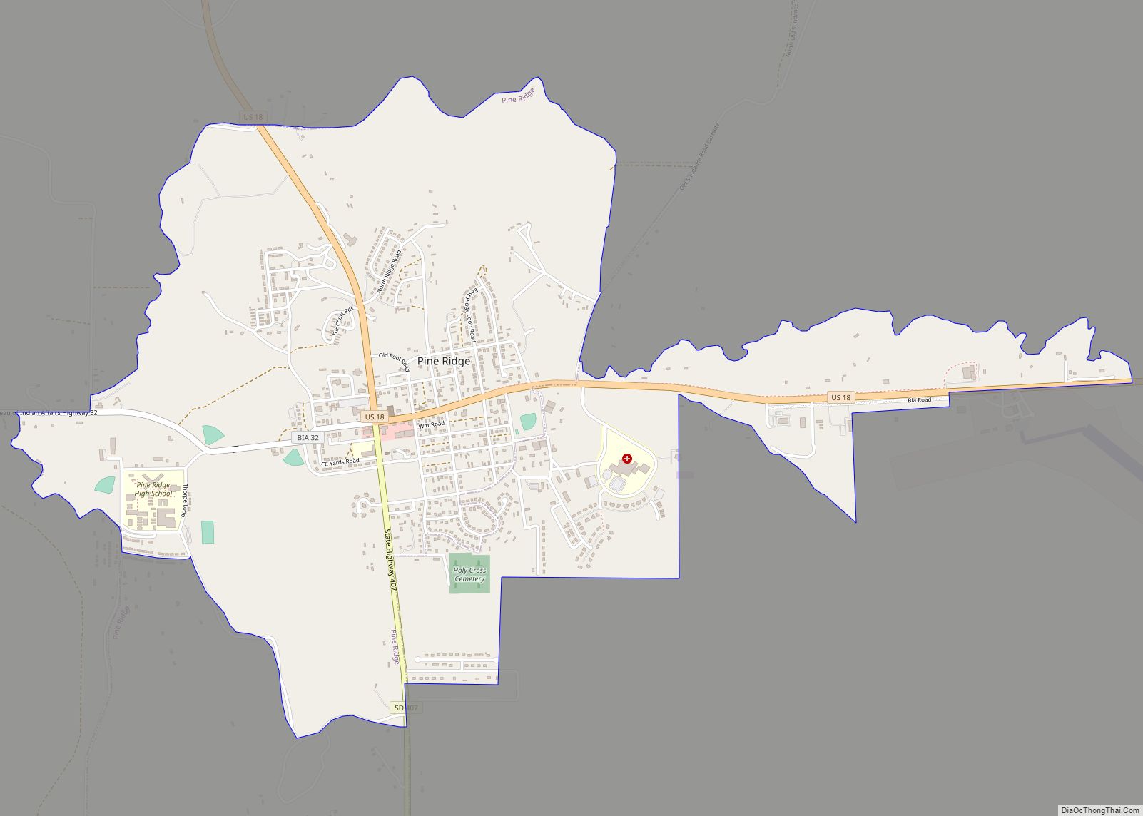
Pine Ridge (Lakota: wazíbló) is a census-designated place (CDP) and the most populous community in Oglala Lakota County, South Dakota, United States. The population was 3,138 at the 2020 census. It is the tribal headquarters of the Oglala Sioux Tribe on the Pine Ridge Indian Reservation.
| Name: | Pine Ridge CDP |
|---|---|
| LSAD Code: | 57 |
| LSAD Description: | CDP (suffix) |
| State: | South Dakota |
| County: | Oglala Lakota County |
| Elevation: | 3,241 ft (988 m) |
| Total Area: | 2.83 sq mi (7.32 km²) |
| Land Area: | 2.83 sq mi (7.32 km²) |
| Water Area: | 0.00 sq mi (0.00 km²) |
| Total Population: | 3,138 |
| Population Density: | 1,110.01/sq mi (428.51/km²) |
| ZIP code: | 57770 |
| Area code: | 605 |
| FIPS code: | 4649660 |
| GNISfeature ID: | 1265681 |
Online Interactive Map
Click on ![]() to view map in "full screen" mode.
to view map in "full screen" mode.
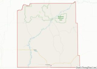
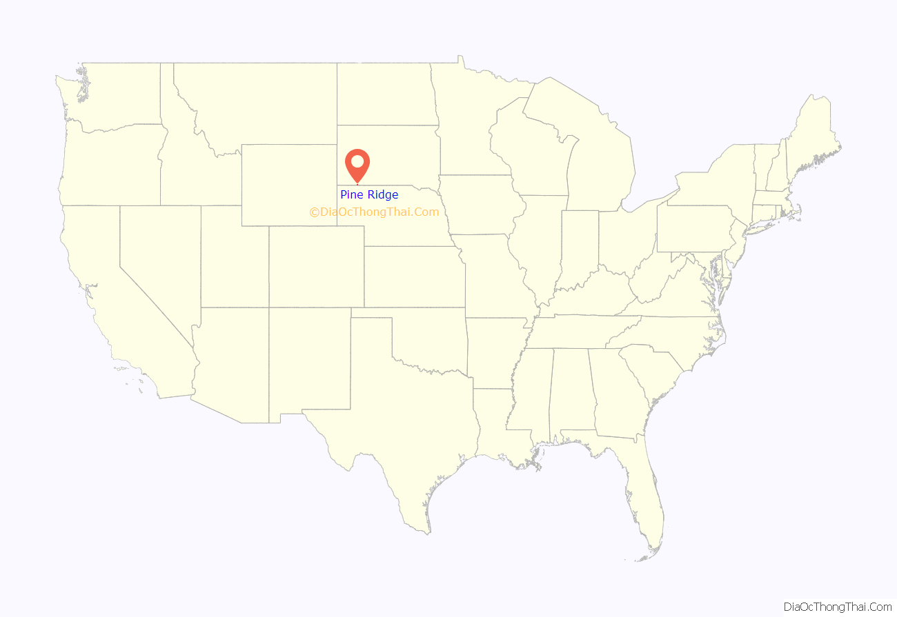
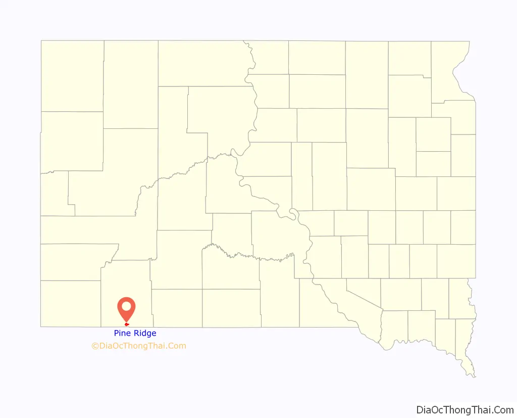
Pine Ridge location map. Where is Pine Ridge CDP?
History
The community was named for the pine trees on the ridge surrounding the town site. An early variant name was Pine Ridge Agency.
The Pine Ridge reservation was the location of a violent shootout between FBI and activist Native Americans in 1975. FBI agents Jack Coler and Ronald Williams were killed in the initial firefight, while activist native Joe Stuntz was later shot by a police sniper. Native/Activist Leonard Peltier was later convicted of the murder of the agents and sentenced to life in prison, but there has been debate around his innocence.
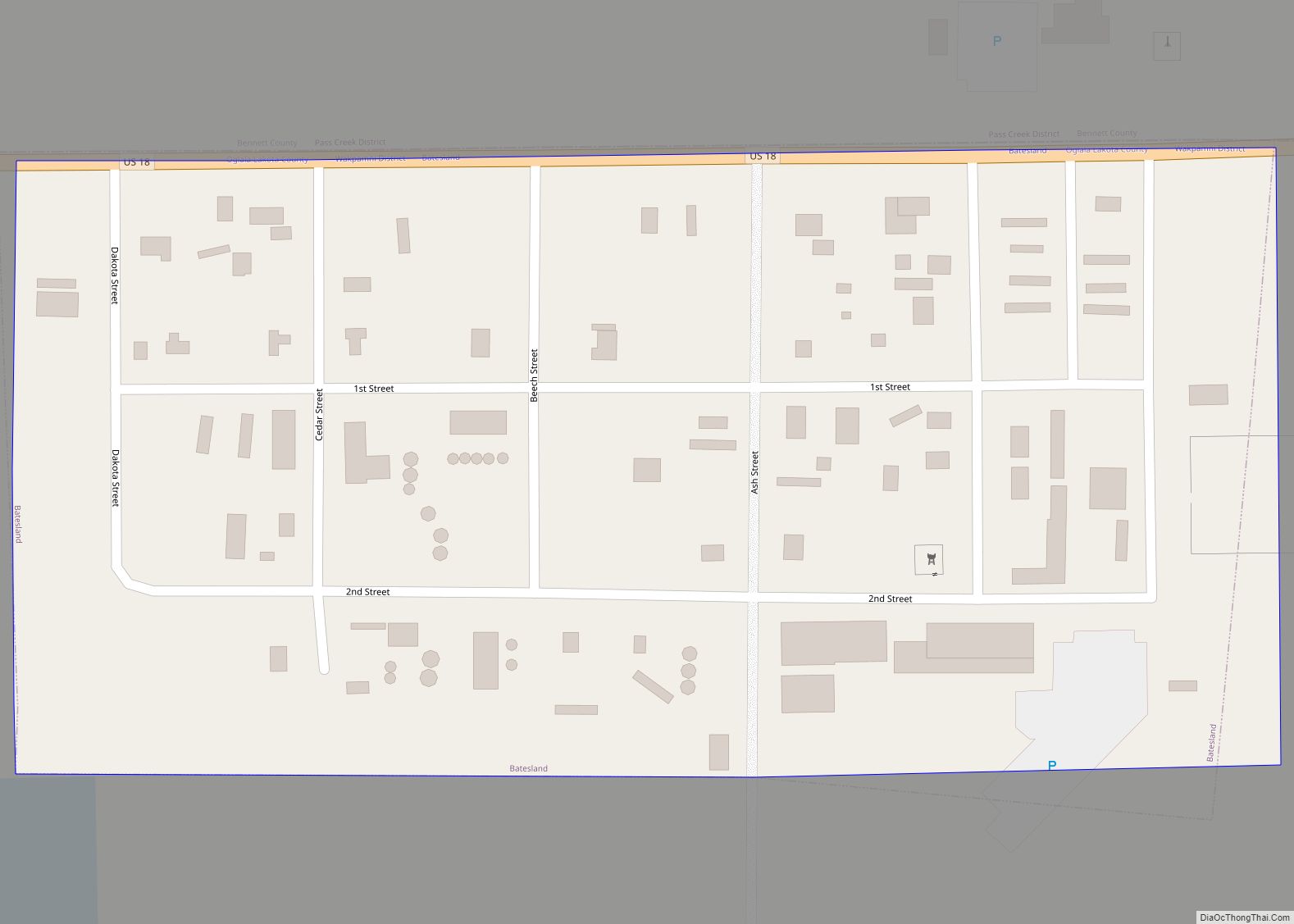
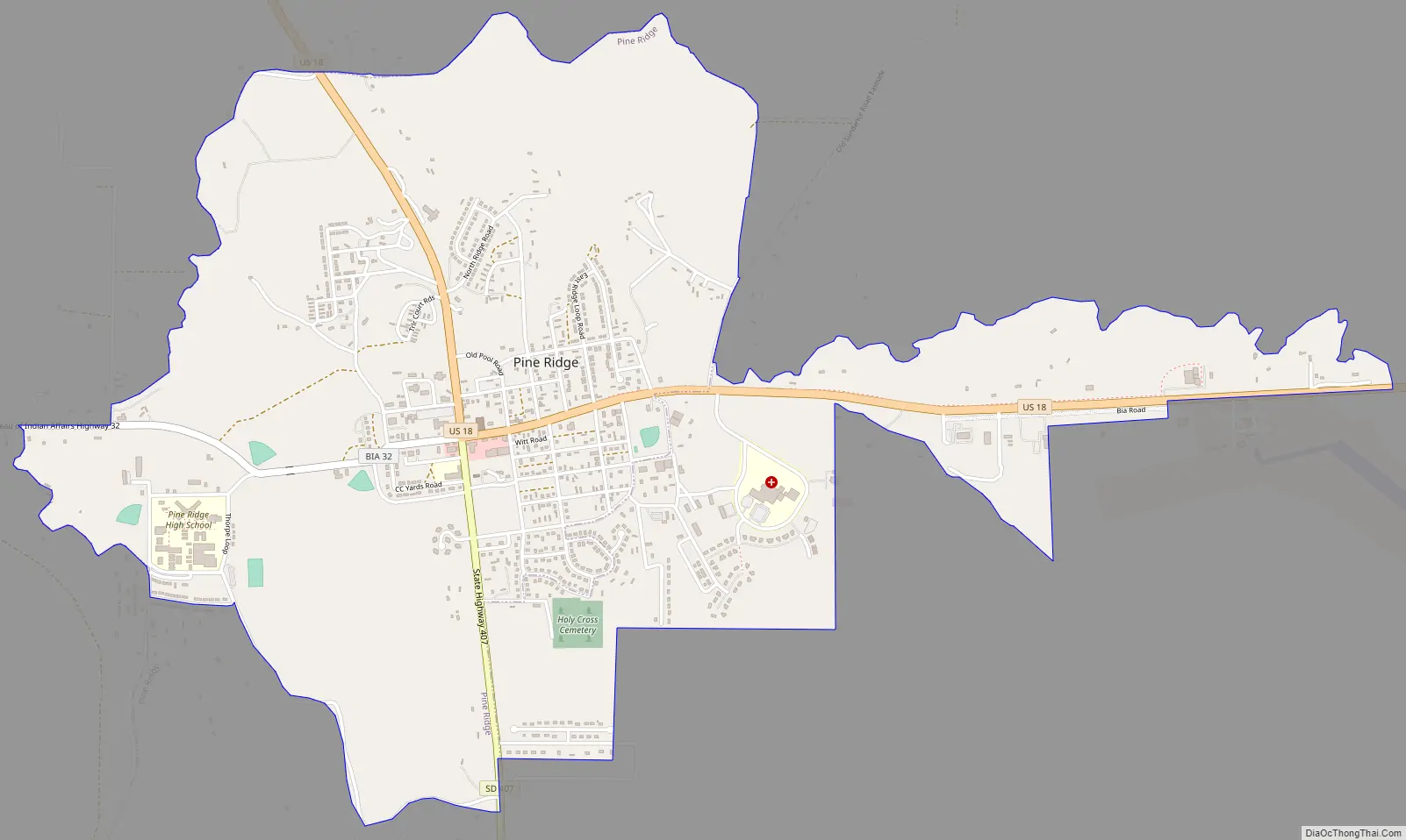
Pine Ridge Road Map
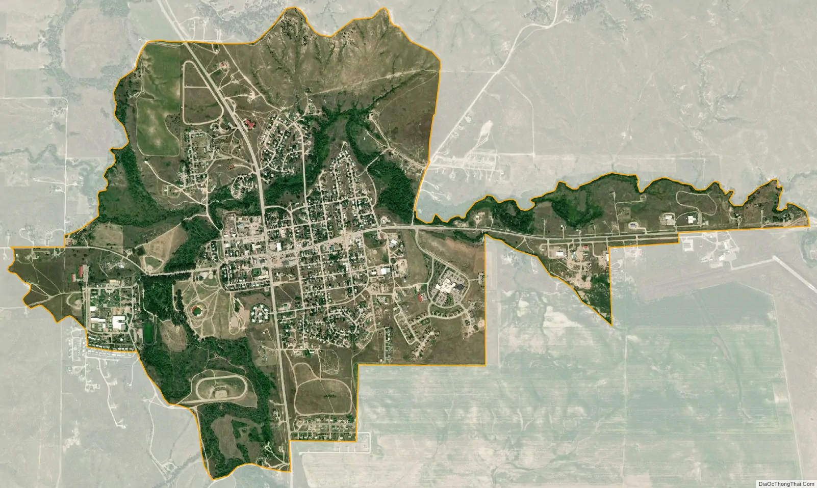
Pine Ridge city Satellite Map
Geography
According to the United States Census Bureau, the CDP has a total area of 3.2 square miles (8.2 km), of which 3.1 square miles (7.9 km) is land and 0.1 square mile (0.2 km) (2.54%) is water.
Pine Ridge has been assigned the ZIP code 57770.
See also
Map of South Dakota State and its subdivision:- Aurora
- Beadle
- Bennett
- Bon Homme
- Brookings
- Brown
- Brule
- Buffalo
- Butte
- Campbell
- Charles Mix
- Clark
- Clay
- Codington
- Corson
- Custer
- Davison
- Day
- Deuel
- Dewey
- Douglas
- Edmunds
- Fall River
- Faulk
- Grant
- Gregory
- Haakon
- Hamlin
- Hand
- Hanson
- Harding
- Hughes
- Hutchinson
- Hyde
- Jackson
- Jerauld
- Jones
- Kingsbury
- Lake
- Lawrence
- Lincoln
- Lyman
- Marshall
- McCook
- McPherson
- Meade
- Mellette
- Miner
- Minnehaha
- Moody
- Pennington
- Perkins
- Potter
- Roberts
- Sanborn
- Shannon
- Spink
- Stanley
- Sully
- Todd
- Tripp
- Turner
- Union
- Walworth
- Yankton
- Ziebach
- Alabama
- Alaska
- Arizona
- Arkansas
- California
- Colorado
- Connecticut
- Delaware
- District of Columbia
- Florida
- Georgia
- Hawaii
- Idaho
- Illinois
- Indiana
- Iowa
- Kansas
- Kentucky
- Louisiana
- Maine
- Maryland
- Massachusetts
- Michigan
- Minnesota
- Mississippi
- Missouri
- Montana
- Nebraska
- Nevada
- New Hampshire
- New Jersey
- New Mexico
- New York
- North Carolina
- North Dakota
- Ohio
- Oklahoma
- Oregon
- Pennsylvania
- Rhode Island
- South Carolina
- South Dakota
- Tennessee
- Texas
- Utah
- Vermont
- Virginia
- Washington
- West Virginia
- Wisconsin
- Wyoming