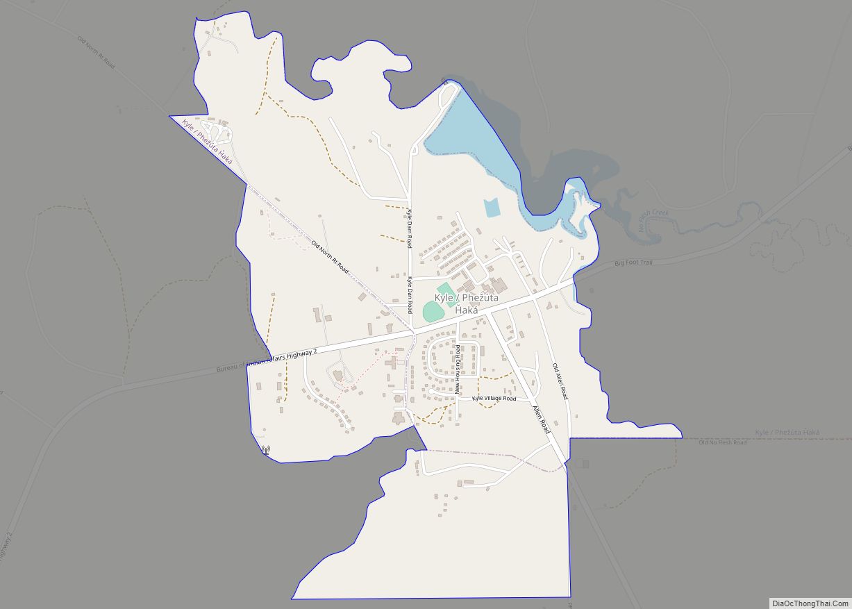
Kyle (Lakota: phežúta ȟaká; “Branched Medicine”) is a census-designated place (CDP) in Oglala Lakota County, South Dakota, United States. Its population was 943 at the 2020 census. Located within the Pine Ridge Indian Reservation of the Oglala Lakota, it is one of two settlements which are closest to the North American continental pole of inaccessibility.
The community was named for James H. Kyle, a Senator from South Dakota.
| Name: | Kyle CDP |
|---|---|
| LSAD Code: | 57 |
| LSAD Description: | CDP (suffix) |
| State: | South Dakota |
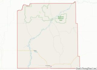
| County: | Oglala Lakota County |
| Elevation: | 2,910 ft (887 m) |
| Total Area: | 1.53 sq mi (3.95 km²) |
| Land Area: | 1.48 sq mi (3.82 km²) |
| Water Area: | 0.05 sq mi (0.13 km²) |
| Total Population: | 943 |
| Population Density: | 639.32/sq mi (246.92/km²) |
| ZIP code: | 57752 |
| Area code: | 605 |
| FIPS code: | 4634460 |
| GNISfeature ID: | 1265753 |
Online Interactive Map
Click on ![]() to view map in "full screen" mode.
to view map in "full screen" mode.
Kyle location map. Where is Kyle CDP?


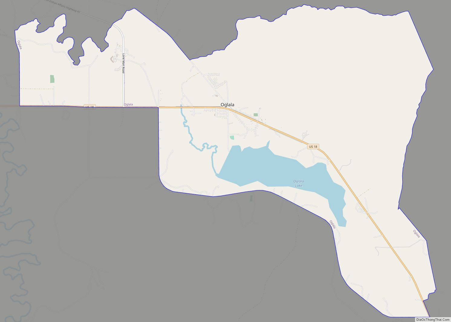
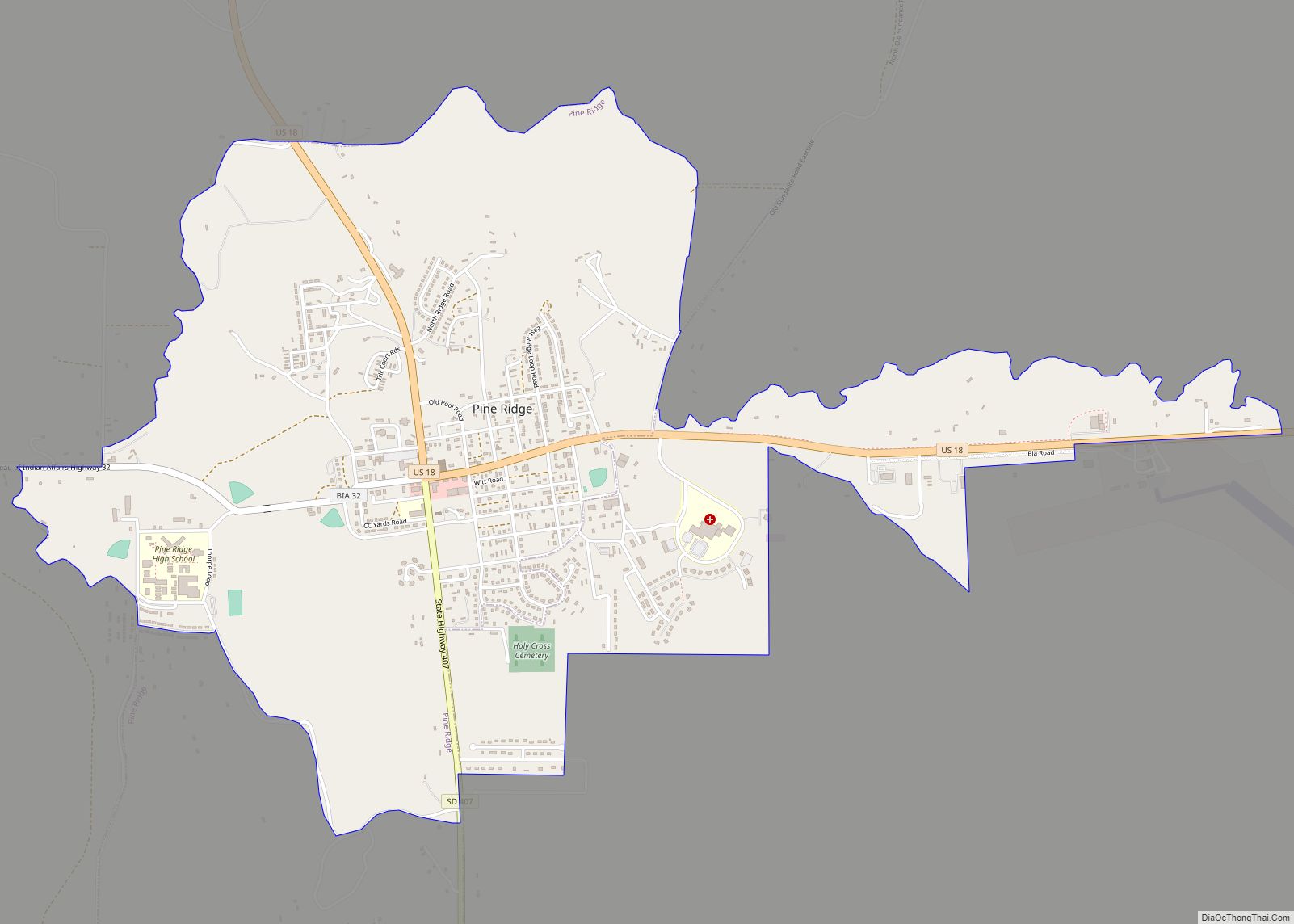
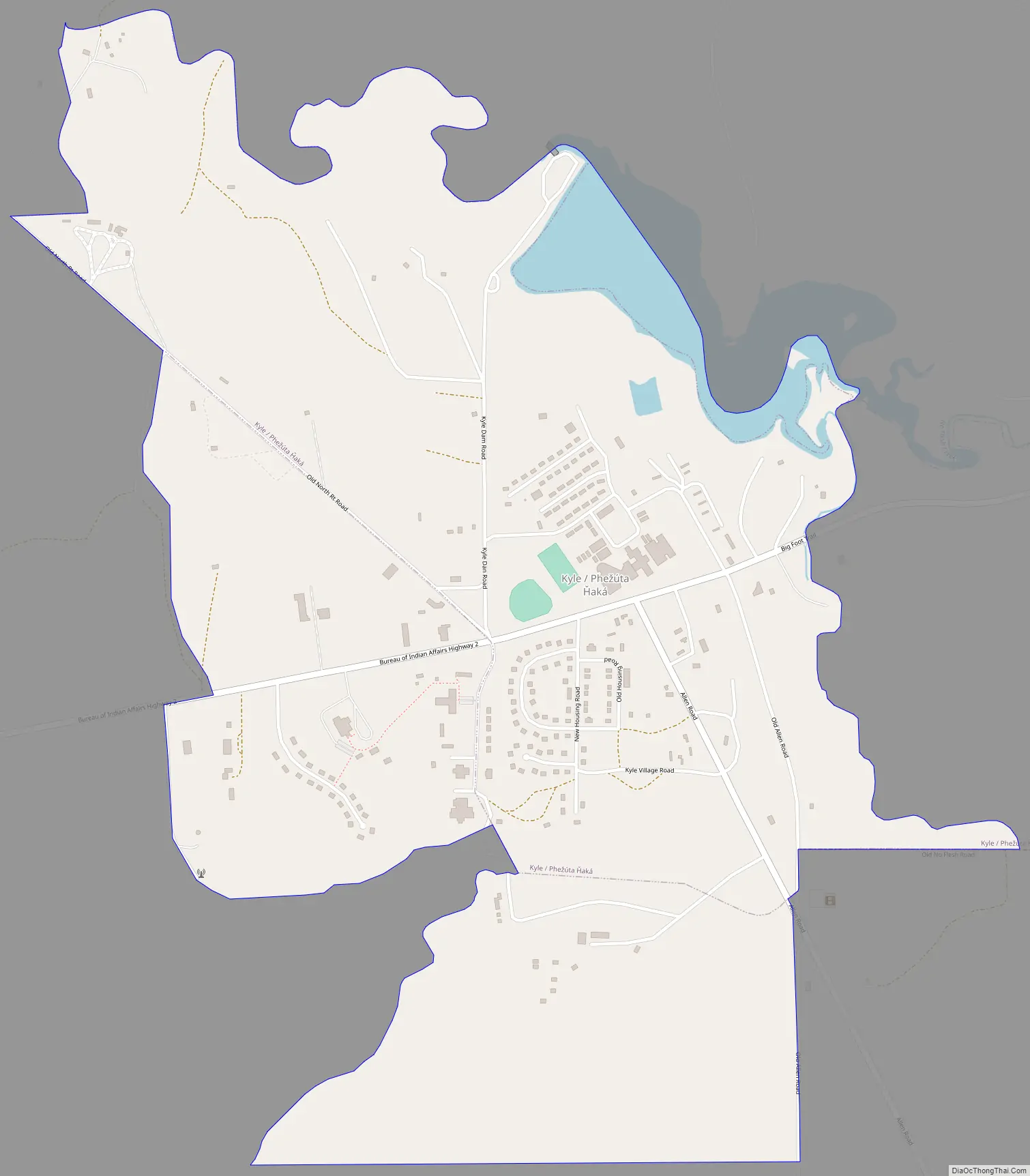
Kyle Road Map
Kyle city Satellite Map

Geography
Kyle is located at 43°25′36″N 102°10′32″W / 43.42667°N 102.17556°W / 43.42667; -102.17556 (43.426652, -102.175677). According to the United States Census Bureau, the CDP has a total area of 2.0 square miles (5.2 km), all land.
In North America, the continental pole of inaccessibility is between Kyle and Allen, located 1,650 km (1,030 mi) from the nearest coastline at 43°22′N 101°58′W / 43.36°N 101.97°W / 43.36; -101.97 (Pole of Inaccessibility North America).
See also
Map of South Dakota State and its subdivision:- Aurora
- Beadle
- Bennett
- Bon Homme
- Brookings
- Brown
- Brule
- Buffalo
- Butte
- Campbell
- Charles Mix
- Clark
- Clay
- Codington
- Corson
- Custer
- Davison
- Day
- Deuel
- Dewey
- Douglas
- Edmunds
- Fall River
- Faulk
- Grant
- Gregory
- Haakon
- Hamlin
- Hand
- Hanson
- Harding
- Hughes
- Hutchinson
- Hyde
- Jackson
- Jerauld
- Jones
- Kingsbury
- Lake
- Lawrence
- Lincoln
- Lyman
- Marshall
- McCook
- McPherson
- Meade
- Mellette
- Miner
- Minnehaha
- Moody
- Pennington
- Perkins
- Potter
- Roberts
- Sanborn
- Shannon
- Spink
- Stanley
- Sully
- Todd
- Tripp
- Turner
- Union
- Walworth
- Yankton
- Ziebach
- Alabama
- Alaska
- Arizona
- Arkansas
- California
- Colorado
- Connecticut
- Delaware
- District of Columbia
- Florida
- Georgia
- Hawaii
- Idaho
- Illinois
- Indiana
- Iowa
- Kansas
- Kentucky
- Louisiana
- Maine
- Maryland
- Massachusetts
- Michigan
- Minnesota
- Mississippi
- Missouri
- Montana
- Nebraska
- Nevada
- New Hampshire
- New Jersey
- New Mexico
- New York
- North Carolina
- North Dakota
- Ohio
- Oklahoma
- Oregon
- Pennsylvania
- Rhode Island
- South Carolina
- South Dakota
- Tennessee
- Texas
- Utah
- Vermont
- Virginia
- Washington
- West Virginia
- Wisconsin
- Wyoming