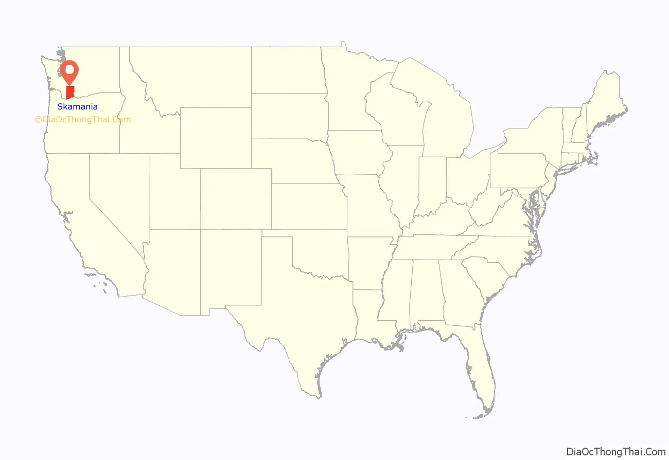
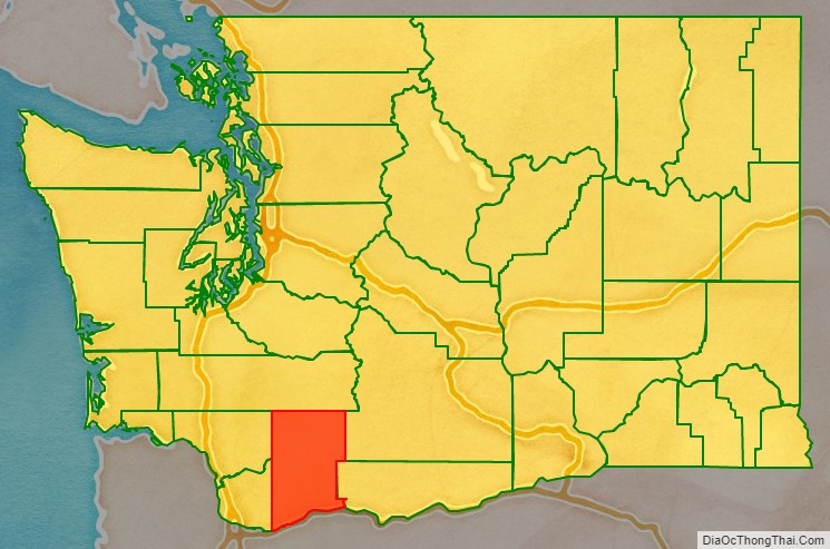
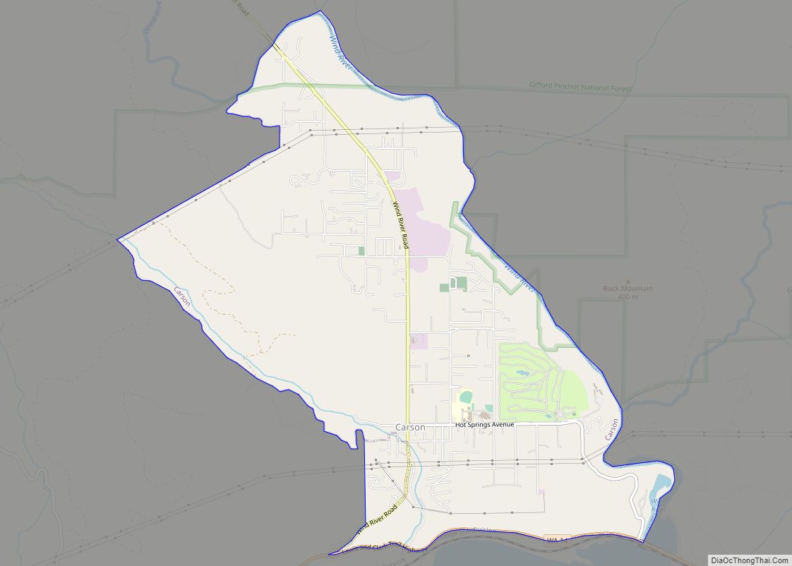
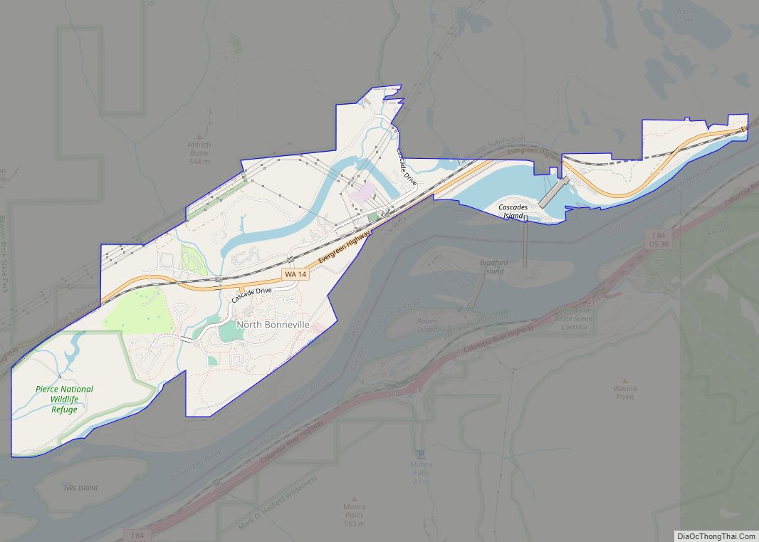
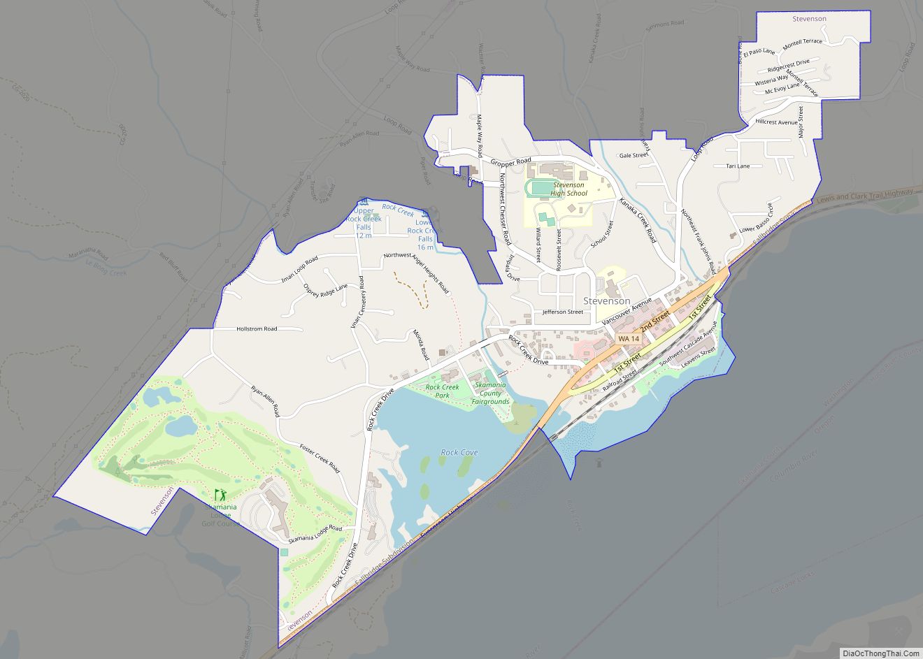
Skamania County (/skəˈmeɪniə/) is a county located in the U.S. state of Washington. As of the 2020 census, the population was 12,036. The county seat and largest incorporated city is Stevenson, although the Carson River Valley CDP is more populous. Skamania County is included in the Portland–Vancouver–Hillsboro, OR-WA Metropolitan Statistical Area.
| Name: | Skamania County |
|---|---|
| FIPS code: | 53-059 |
| State: | Washington |
| Founded: | March 9, 1854 |
| Seat: | Stevenson |
| Largest city: | Carson River Valley |
| Total Area: | 1,683 sq mi (4,360 km²) |
| Land Area: | 1,656 sq mi (4,290 km²) |
| Total Population: | 12,036 |
| Population Density: | 7.15/sq mi (2.76/km²) |
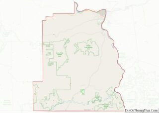
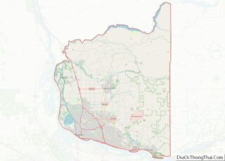
Skamania County location map. Where is Skamania County?
History
Etymology
The county was founded in 1854 and derives its name from the Cascades Chinook word sk’mániak, meaning “swift waters”.
County beginnings
The area delineated by the future Washington state boundary began to be colonized at the start of the nineteenth century, both by Americans and British subjects. However, the majority of British exploration and interest in the land was due to the fur trade, whereas American settlers were principally seeking land for agriculture and cattle raising. The Treaty of 1818 provided for the region to be an Anglo-American condominium. During this period, the future Washington Territory was divided into two administrative zones: Clark County and Lewis County (made official in 1845).
The condominium was unwieldy and led to continual argument, and occasional conflict. The status of the Washington area was settled in 1846, when the Oregon Treaty ceded the land south of North latitude 49 degrees to American control.
On March 9, 1854, Skamania County was split from the original Clark County. Also in 1854, Walla Walla County was split from the new Skamania County. After that, Skamania County retained its shape, including through the period after Washington became the 42nd state of the Union in 1889. An early county seat was Fort Cascades, built to protect the Columbia River, but the county seat has been in Stevenson since 1893.
20th century to present day
Skamania County is also known for enacting what has been described as the “Bigfoot Ordinance”, passed by the Board of County Commissioners at its meeting of April 1, 1969 and published twice in the Skamania County Pioneer, the newspaper of highest circulation in the county, as required by law. Although its passage coincided with April Fool’s Day, Ordinance 69-01 was real, was amended in 1984, and has not been repealed. Its purposes included protection of residents and visitors from in the county from a very real concern, “an influx of scientific investigators as well as casual hunters, many armed with lethal weapons”, who had been attracted to the area by reported sightings of a creature.
Mt. St. Helens, which is located in Skamania County, erupted in 1980.
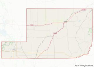
Skamania County Road Map
Geography
According to the United States Census Bureau, the county has a total area of 1,684 square miles (4,360 km), of which 1,656 square miles (4,290 km) is land and 28 square miles (73 km) (1.7%) is water. 90% of Skamania is forested and 80% is a part of Gifford Pinchot National Forest.
Geographic features
- Cascade Mountains
- Columbia River
- Mount St. Helens – the highest point in Skamania County
- Indian Heaven
Major highways
- State Route 14
- Wind River Highway
Adjacent counties
- Lewis County – north
- Yakima County – northeast
- Klickitat County – east
- Hood River County, Oregon – south
- Multnomah County, Oregon – southwest
- Clark County – west
- Cowlitz County – west
