Stevenson is a city in the Columbia River Gorge National Scenic Area along the Columbia River in Skamania County, Washington, United States. It is the county seat of Skamania County and home to the Skamania County Court House and Sheriff’s Office. The population was 1,465 at the 2010 census, a 22% increase over 2000.
Stevenson is home to the Columbia Gorge Interpretive Center, which focuses on several tribes that were once located near the Columbia River.
| Name: | Stevenson city |
|---|---|
| LSAD Code: | 25 |
| LSAD Description: | city (suffix) |
| State: | Washington |
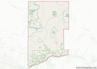
| County: | Skamania County |
| Elevation: | 207 ft (63 m) |
| Total Area: | 1.79 sq mi (4.64 km²) |
| Land Area: | 1.65 sq mi (4.26 km²) |
| Water Area: | 0.15 sq mi (0.38 km²) |
| Total Population: | 1,465 |
| Population Density: | 973.25/sq mi (375.87/km²) |
| ZIP code: | 98648 |
| Area code: | 509 |
| FIPS code: | 5367875 |
| GNISfeature ID: | 1509682 |
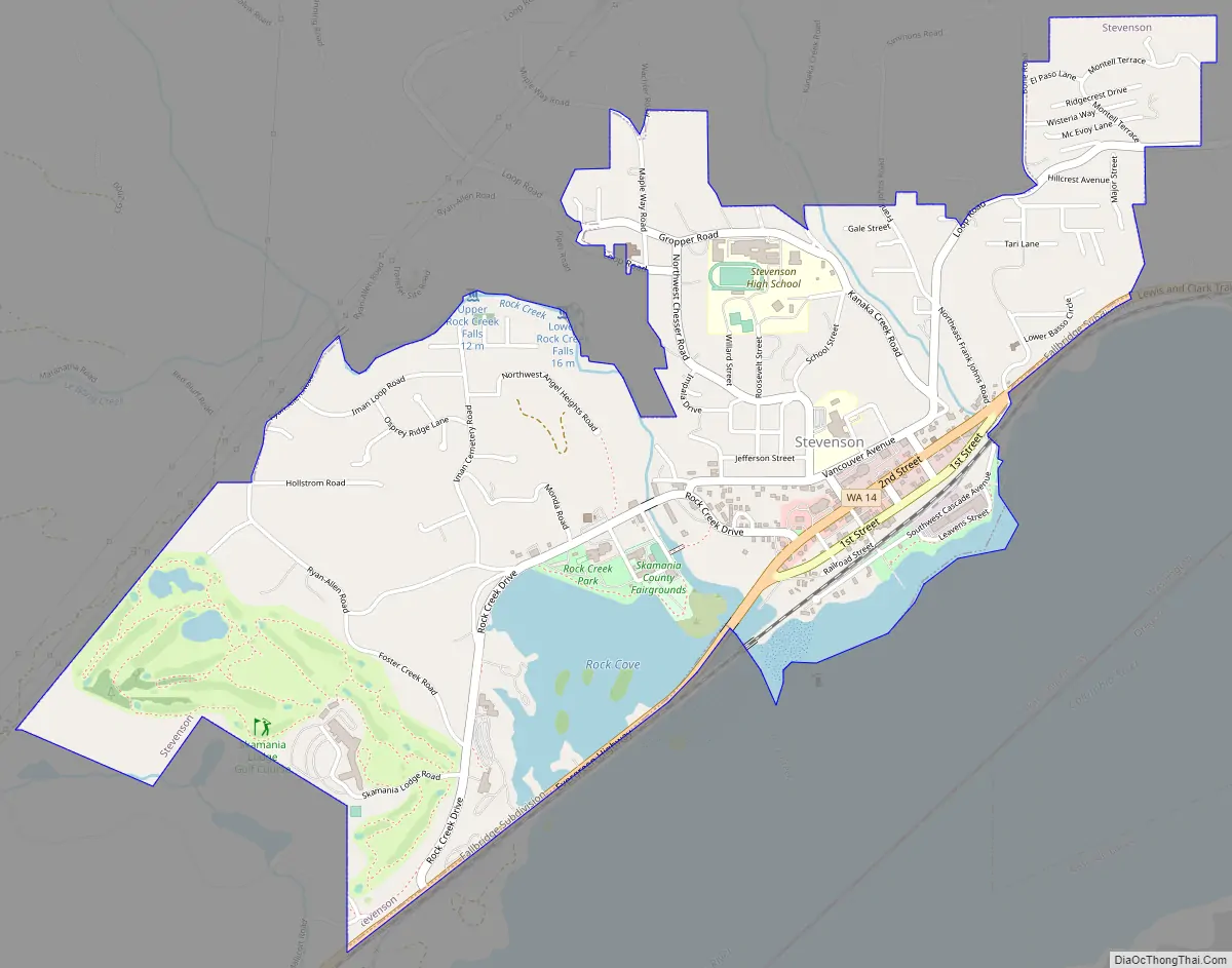
Online Interactive Map
Click on ![]() to view map in "full screen" mode.
to view map in "full screen" mode.
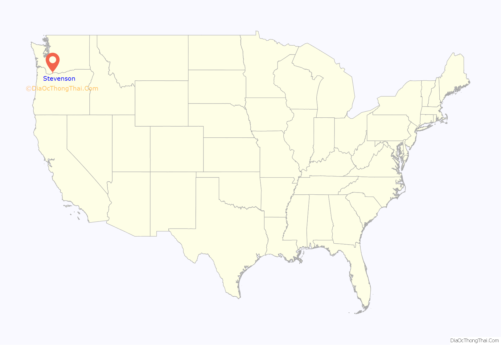
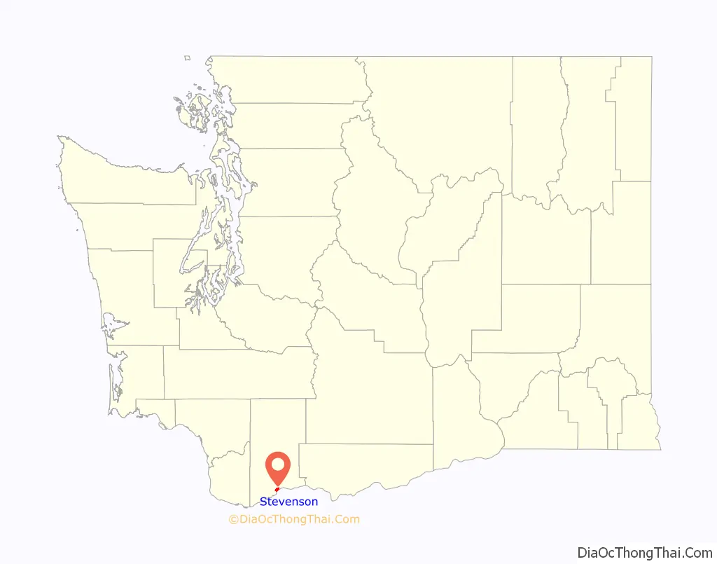
Stevenson location map. Where is Stevenson city?
History
Stevenson is named for early settler George H. Stevenson. The Stevenson family, who settled in the Gorge in the 1800s from Missouri, founded the town of Stevenson on the old Shepard donation land claim. Under the auspices of the Stevenson Land Company, George Stevenson purchased the original townsite for $24,000 in 1893, building the town along the lower flat near the river. Settlers expanded the original dock to serve the daily arrivals of sternwheelers unloading passengers, cargo and loading logs.
In 1893, in a dispute over rental fees, an unknown crew transported the county records from the town of Cascades to Stevenson. Stevenson became the county seat of Skamania overnight. Stevenson was officially incorporated on December 16, 1907. In 1908 the Spokane, Portland & Seattle Railroad arrived, pushing the town up the hill away from the river. Streets were graded, wooden sidewalks constructed and the city asked residents to keep their cows from roaming the streets.
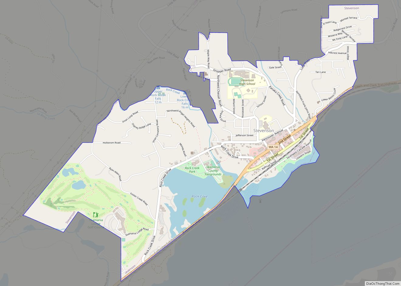
Stevenson Road Map
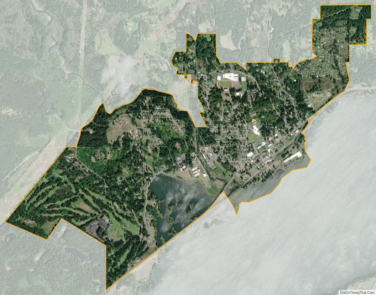
Stevenson city Satellite Map
Geography
According to the United States Census Bureau, the city has a total area of 1.79 square miles (4.64 km), of which 1.65 square miles (4.27 km) is land and 0.14 square miles (0.36 km) is water.
The city is located on Washington State Route 14 between the city of North Bonneville and Carson.
Climate
See also
Map of Washington State and its subdivision:- Adams
- Asotin
- Benton
- Chelan
- Clallam
- Clark
- Columbia
- Cowlitz
- Douglas
- Ferry
- Franklin
- Garfield
- Grant
- Grays Harbor
- Island
- Jefferson
- King
- Kitsap
- Kittitas
- Klickitat
- Lewis
- Lincoln
- Mason
- Okanogan
- Pacific
- Pend Oreille
- Pierce
- San Juan
- Skagit
- Skamania
- Snohomish
- Spokane
- Stevens
- Thurston
- Wahkiakum
- Walla Walla
- Whatcom
- Whitman
- Yakima
- Alabama
- Alaska
- Arizona
- Arkansas
- California
- Colorado
- Connecticut
- Delaware
- District of Columbia
- Florida
- Georgia
- Hawaii
- Idaho
- Illinois
- Indiana
- Iowa
- Kansas
- Kentucky
- Louisiana
- Maine
- Maryland
- Massachusetts
- Michigan
- Minnesota
- Mississippi
- Missouri
- Montana
- Nebraska
- Nevada
- New Hampshire
- New Jersey
- New Mexico
- New York
- North Carolina
- North Dakota
- Ohio
- Oklahoma
- Oregon
- Pennsylvania
- Rhode Island
- South Carolina
- South Dakota
- Tennessee
- Texas
- Utah
- Vermont
- Virginia
- Washington
- West Virginia
- Wisconsin
- Wyoming