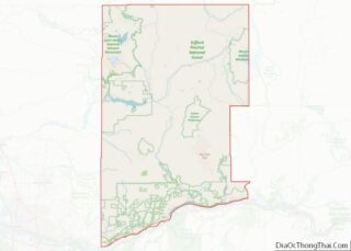
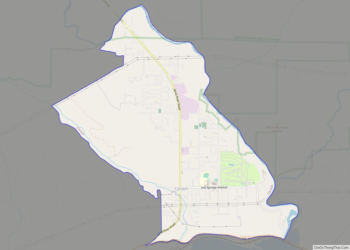
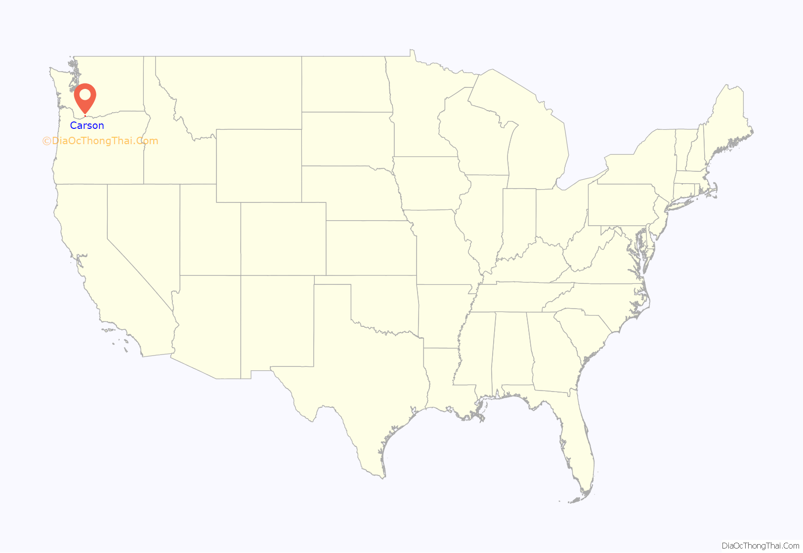
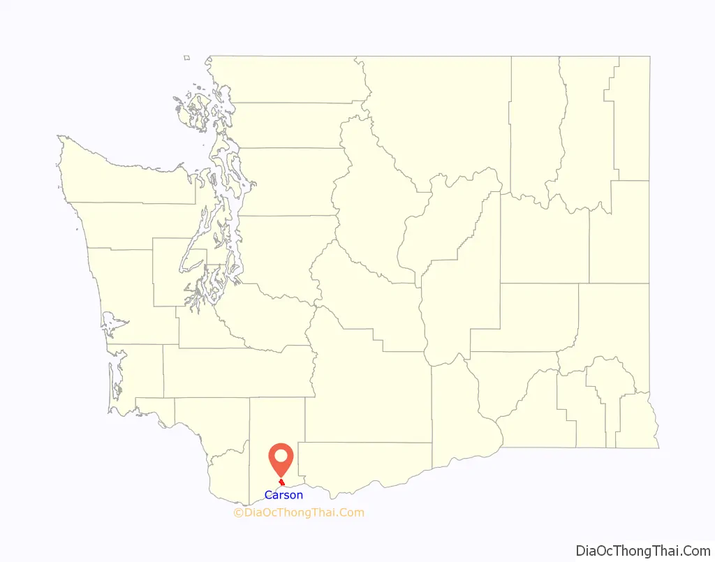
Carson is a small census-designated place in the Columbia River Gorge National Scenic Area, north of the Columbia River in Skamania County, in the southwestern part of Washington, United States.
Carson is located north of Washington State Route 14 and the town lies south of Stabler and between Stevenson to the west and Underwood and the neighboring cities of Bingen and White Salmon to the east.
| Name: | Carson CDP |
|---|---|
| LSAD Code: | 57 |
| LSAD Description: | CDP (suffix) |
| State: | Washington |
| County: | Skamania County |
| Elevation: | 469 ft (143 m) |
| Total Area: | 2,279 |
| ZIP code: | 98610 |
| Area code: | 509 |
| FIPS code: | 5310320 |
| GNISfeature ID: | 1512068 |
Online Interactive Map
Click on ![]() to view map in "full screen" mode.
to view map in "full screen" mode.
Carson location map. Where is Carson CDP?
History
A post office called Carson has been in operation since 1894. The community takes its name from nearby Carson Creek.
Carson Road Map

Carson city Satellite Map

Geography
According to the United States Census Bureau, the CDP has a total area of 4.7 square miles (12.2 km), of which, 4.7 square miles (12.1 km) of it is land and 0.04 square miles (0.1 km) of it (0.43%) is water.
Climate
See also
Map of Washington State and its subdivision:- Adams
- Asotin
- Benton
- Chelan
- Clallam
- Clark
- Columbia
- Cowlitz
- Douglas
- Ferry
- Franklin
- Garfield
- Grant
- Grays Harbor
- Island
- Jefferson
- King
- Kitsap
- Kittitas
- Klickitat
- Lewis
- Lincoln
- Mason
- Okanogan
- Pacific
- Pend Oreille
- Pierce
- San Juan
- Skagit
- Skamania
- Snohomish
- Spokane
- Stevens
- Thurston
- Wahkiakum
- Walla Walla
- Whatcom
- Whitman
- Yakima
- Alabama
- Alaska
- Arizona
- Arkansas
- California
- Colorado
- Connecticut
- Delaware
- District of Columbia
- Florida
- Georgia
- Hawaii
- Idaho
- Illinois
- Indiana
- Iowa
- Kansas
- Kentucky
- Louisiana
- Maine
- Maryland
- Massachusetts
- Michigan
- Minnesota
- Mississippi
- Missouri
- Montana
- Nebraska
- Nevada
- New Hampshire
- New Jersey
- New Mexico
- New York
- North Carolina
- North Dakota
- Ohio
- Oklahoma
- Oregon
- Pennsylvania
- Rhode Island
- South Carolina
- South Dakota
- Tennessee
- Texas
- Utah
- Vermont
- Virginia
- Washington
- West Virginia
- Wisconsin
- Wyoming