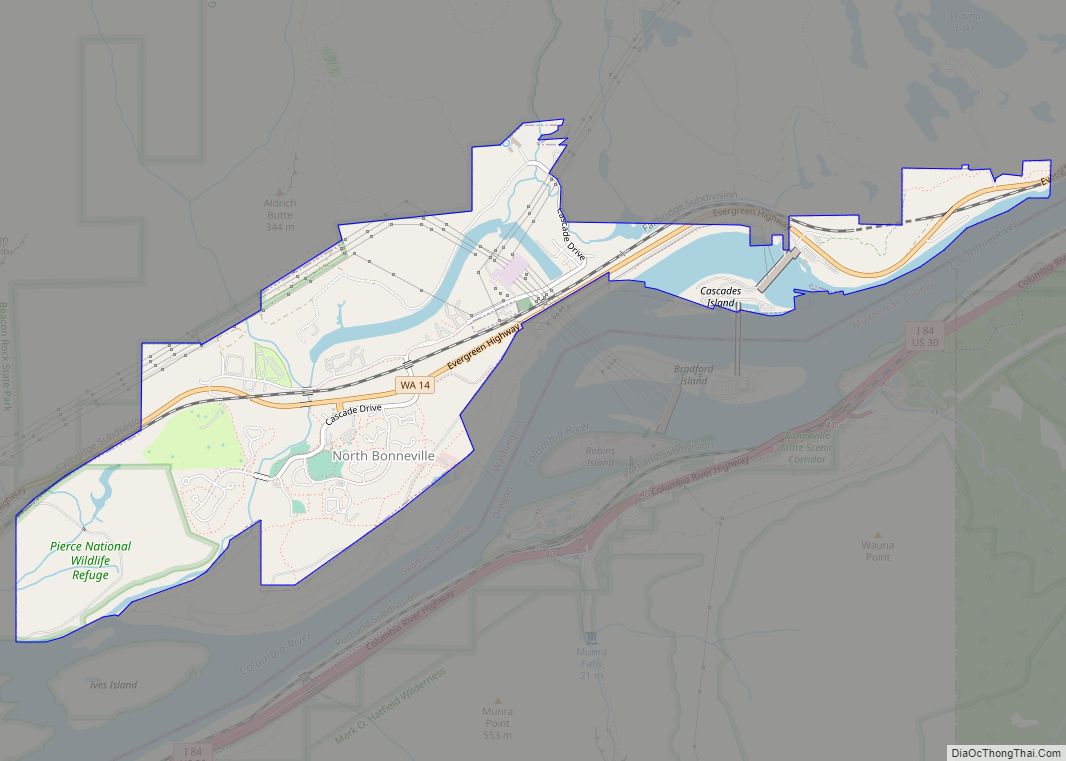
North Bonneville is a city in the Columbia River Gorge National Scenic Area along the Columbia River in Skamania County, Washington, United States. The population was 593 at the 2000 census and 956 at the 2010 census.
| Name: | North Bonneville city |
|---|---|
| LSAD Code: | 25 |
| LSAD Description: | city (suffix) |
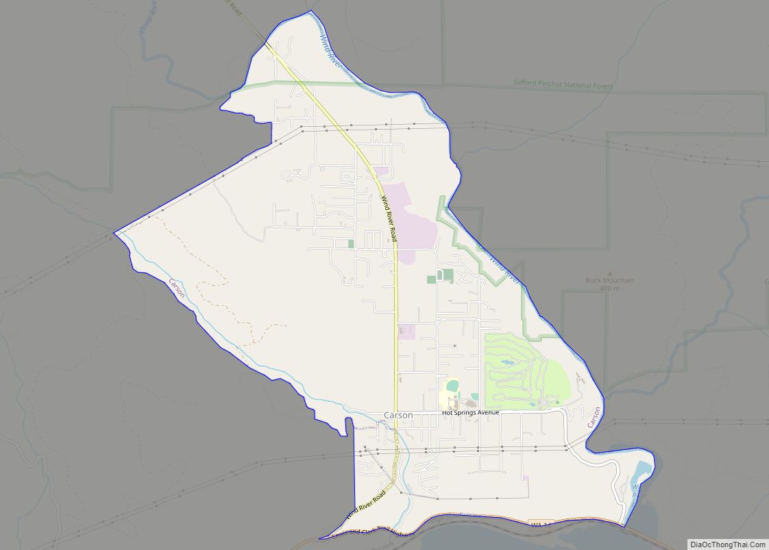
| State: | Washington |
| County: | Skamania County |
| Elevation: | 66 ft (20 m) |
| Total Area: | 2.78 sq mi (7.19 km²) |
| Land Area: | 2.52 sq mi (6.54 km²) |
| Water Area: | 0.25 sq mi (0.65 km²) |
| Total Population: | 956 |
| Population Density: | 398.81/sq mi (153.99/km²) |
| ZIP code: | 98639 |
| Area code: | 509 |
| FIPS code: | 5349555 |
| GNISfeature ID: | 1531485 |
Online Interactive Map
Click on ![]() to view map in "full screen" mode.
to view map in "full screen" mode.
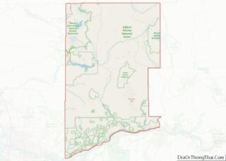
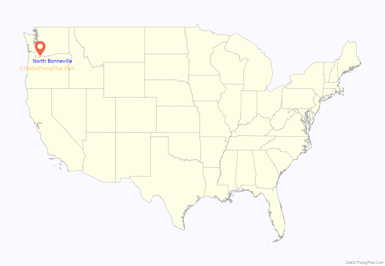
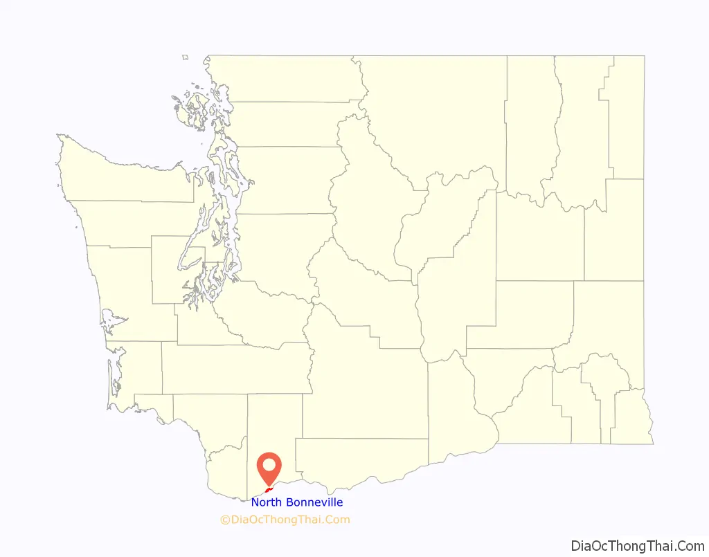
North Bonneville location map. Where is North Bonneville city?
History
The community of North Bonneville developed as a construction town next to the massive Bonneville Lock, Dam, and powerhouse project begun in late 1933. Federal legislation in 1937 also authorized a second Powerhouse, although the need was not then immediate. North Bonneville was officially incorporated on June 25, 1935.
The Columbia’s north shore where North Bonneville had grown was selected by federal agencies in 1971 as the site for the second Powerhouse. Faced with the prospect of being displaced and disbanded the townspeople determined to relocate as a community. Intense efforts by citizens’ groups and planning assistance from state sources finally led to agreements with the U.S. Army Corps of Engineers to hire professionals for the design and construction of a new town. Contractors then prepared the chosen town site for the initial community of 600 people as the old town was devoured by the enormous excavation for the new powerhouse.
Federal responsibility for the North Bonneville relocation was expanded in 1974 with enactment of Public Law 93-251, referred to as the McCormack legislation. This law specifically broadened the Corps’ authority and obligation in relocation assistance to North Bonneville . The $35 million relocation project included raising the new town site above the 100-year flood plain, construction of streets, utilities, lighting, sewage system, water supply and sewage treatment plant, flood protection, parks, a central business district and all public buildings. Town sitting required highway and railway relocation. And residents and business were furnished temporary housing until they could build their own permanent homes and facilities. The new town was built to accommodate 1500 residents. A celebration of the successful relocation was held on July 29, 1978.
Public Development Authority
Following the legalization of cannabis by a 2012 voter initiative in Washington State, the North Bonneville Public Development Authority was created to manage a city-owned cannabis retail store that opened on March 7, 2015. It was notable for operating Cannabis Corner, the first government-owned cannabis shop in the United States.
North Bonneville Road Map

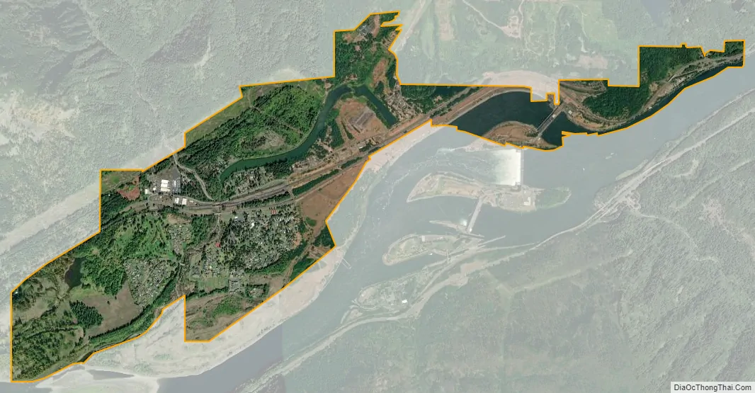
North Bonneville city Satellite Map
Geography
According to the United States Census Bureau, the city has a total area of 2.62 square miles (6.79 km), of which, 2.41 square miles (6.24 km) is land and 0.21 square miles (0.54 km) is water.
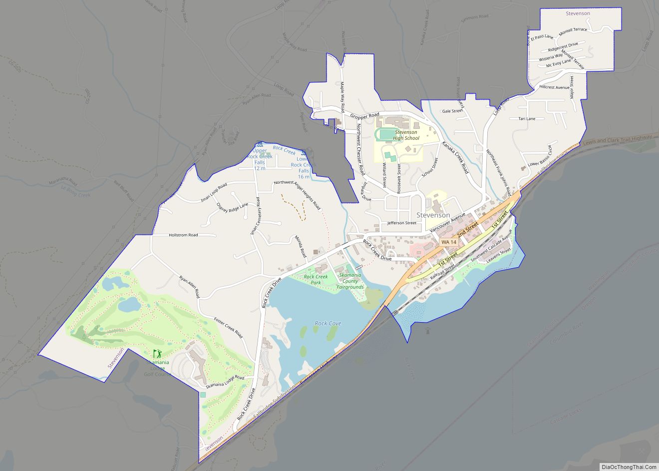
The city is located on Washington State Route 14 between Skamania and the city of Stevenson.
Climate
This region experiences warm (but not hot) and dry summers, with no average monthly temperatures above 71.6 °F. According to the Köppen Climate Classification system, North Bonneville has a warm-summer Mediterranean climate, abbreviated “Csb” on climate maps.
See also
Map of Washington State and its subdivision:- Adams
- Asotin
- Benton
- Chelan
- Clallam
- Clark
- Columbia
- Cowlitz
- Douglas
- Ferry
- Franklin
- Garfield
- Grant
- Grays Harbor
- Island
- Jefferson
- King
- Kitsap
- Kittitas
- Klickitat
- Lewis
- Lincoln
- Mason
- Okanogan
- Pacific
- Pend Oreille
- Pierce
- San Juan
- Skagit
- Skamania
- Snohomish
- Spokane
- Stevens
- Thurston
- Wahkiakum
- Walla Walla
- Whatcom
- Whitman
- Yakima
- Alabama
- Alaska
- Arizona
- Arkansas
- California
- Colorado
- Connecticut
- Delaware
- District of Columbia
- Florida
- Georgia
- Hawaii
- Idaho
- Illinois
- Indiana
- Iowa
- Kansas
- Kentucky
- Louisiana
- Maine
- Maryland
- Massachusetts
- Michigan
- Minnesota
- Mississippi
- Missouri
- Montana
- Nebraska
- Nevada
- New Hampshire
- New Jersey
- New Mexico
- New York
- North Carolina
- North Dakota
- Ohio
- Oklahoma
- Oregon
- Pennsylvania
- Rhode Island
- South Carolina
- South Dakota
- Tennessee
- Texas
- Utah
- Vermont
- Virginia
- Washington
- West Virginia
- Wisconsin
- Wyoming