Sumter County is a county located in the central portion of the U.S. state of Florida. As of the 2020 census, the population is 129,752. It has the oldest median age (68.3 years) of any US county and the highest percentage of residents aged 65 and older—at 55.6% in 2014-2018 (in 2009–2013). Its county seat is Bushnell, and the largest community is The Villages.
Sumter County coincides with The Villages, FL Metropolitan Statistical Area, which is included in the Orlando-Lakeland-Deltona, FL Combined Statistical Area.
| Name: | Sumter County |
|---|---|
| FIPS code: | 12-119 |
| State: | Florida |
| Founded: | January 8, 1853 |
| Named for: | Thomas Sumter |
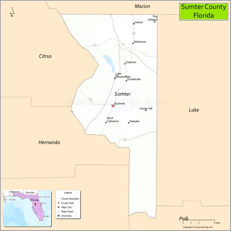
| Seat: | Bushnell |
| Total Area: | 580 sq mi (1,500 km²) |
| Land Area: | 557 sq mi (1,440 km²) |
| Total Population: | 129,752 |
| Population Density: | 233/sq mi (90/km²) |
| Time zone: | UTC−5 (Eastern) |
| Summer Time Zone (DST): | UTC−4 (EDT) |
| Website: | www.sumtercountyfl.gov |
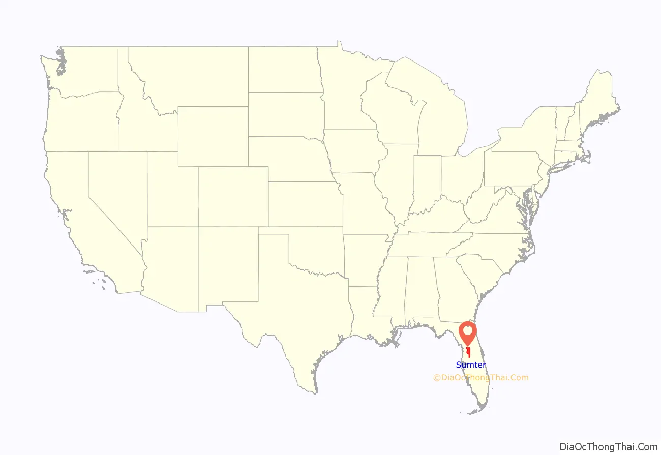
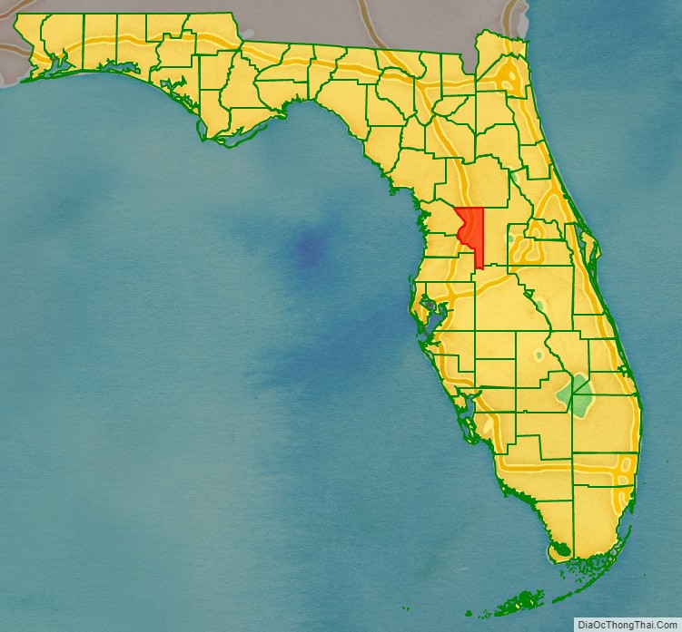
Sumter County location map. Where is Sumter County?
History
Sumter County was created in 1853. It was named for General Thomas Sumter, a general in the American Revolutionary War. The county in the past, and to this day by some, is nicknamed “Hog County” most likely because it is home to a large population of wild hogs. Hog hunting is still a favorite pastime of locals in the more rural portions of the county.
Although long extremely rural, in recent years Sumter County has sustained an exceptionally large increase in population, almost solely due to the expansion of The Villages retirement complex, a significant portion of which is in the county. This has dramatically changed the demographics of the county and has brought in significant income.
Sumter County was affected by the massive Florida tornado outbreak of February 2, 2007, and a state of emergency was declared.
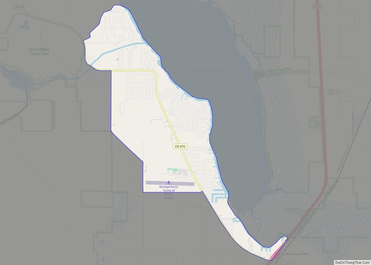
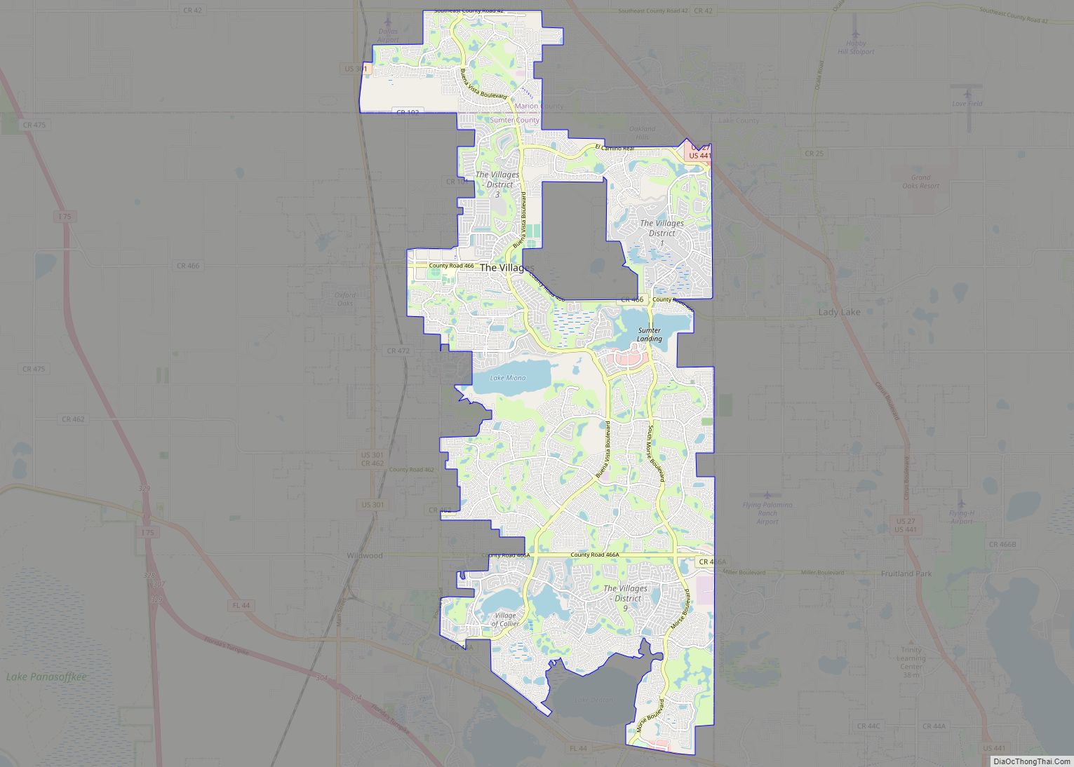
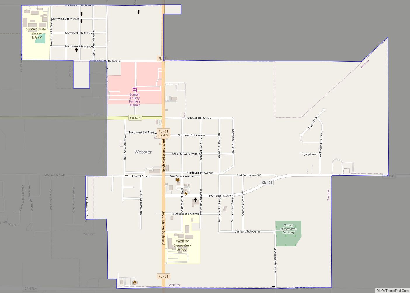
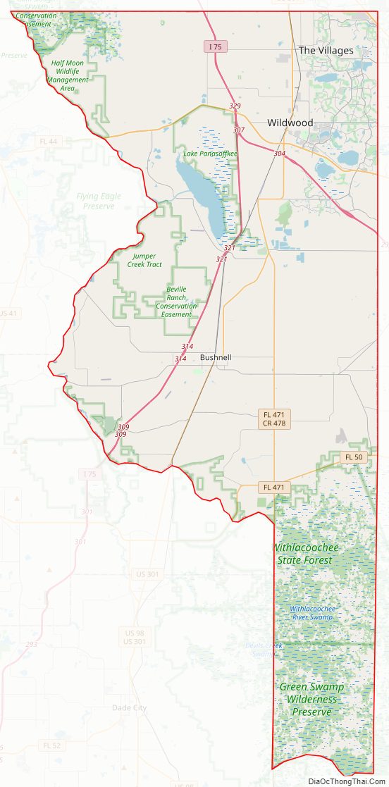
Sumter County Road Map
Geography
According to the U.S. Census Bureau, the county has a total area of 580 square miles (1,500 km), of which 547 square miles (1,420 km) is land and 33 square miles (85 km) (5.7%) is water.
Adjacent counties
- Marion County – north
- Lake County – east
- Polk County – southeast
- Pasco County – southwest
- Hernando County – west
- Citrus County – northwest
Sumter County Topographic Map
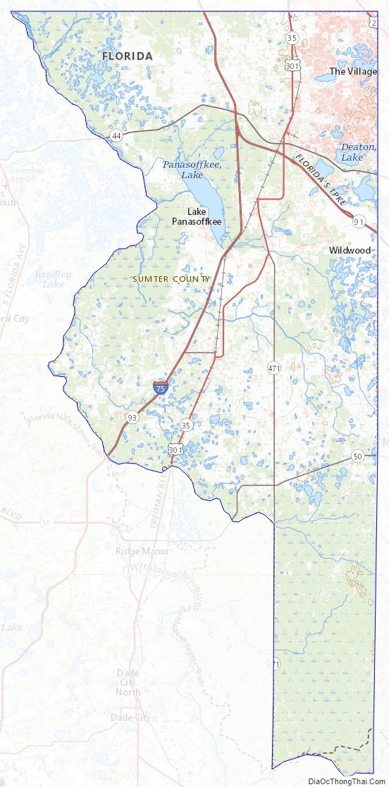
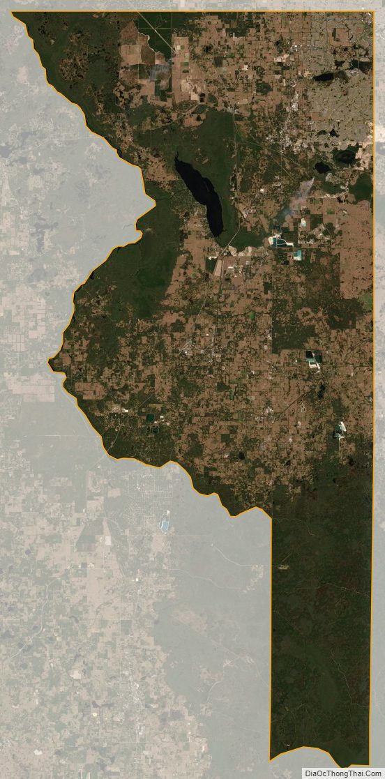
Sumter County Satellite Map
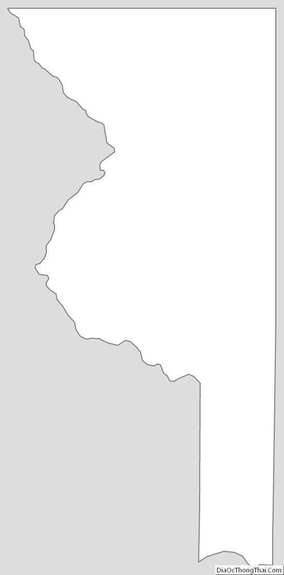
Sumter County Outline Map