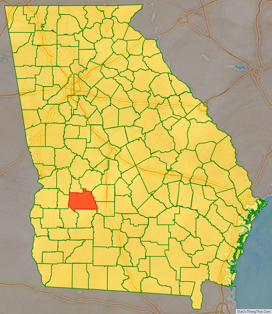
Sumter County is a county located in the west-central portion of the U.S. state of Georgia. As of the 2020 census, its population was 29,616. The county seat is Americus. The county was created on December 26, 1831.
Sumter County is part of the Americus micropolitan statistical area.
| Name: | Sumter County |
|---|---|
| FIPS code: | 13-261 |
| State: | Georgia |
| Founded: | 1831 |
| Named for: | Thomas Sumter |
| Seat: | Americus |
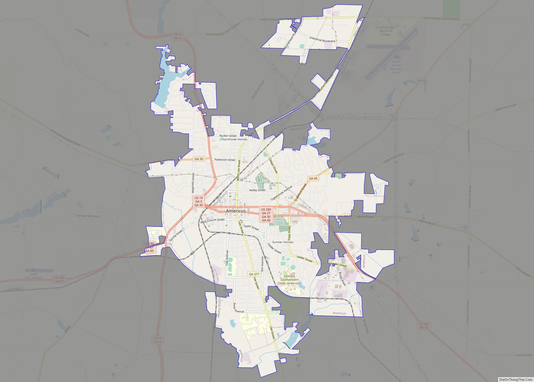
| Largest city: | Americus |
| Total Area: | 493 sq mi (1,280 km²) |
| Land Area: | 483 sq mi (1,250 km²) |
| Total Population: | 29,616 |
| Population Density: | 61/sq mi (24/km²) |
| Time zone: | UTC−5 (Eastern) |
| Summer Time Zone (DST): | UTC−4 (EDT) |
| Website: | www.sumtercountyga.us |
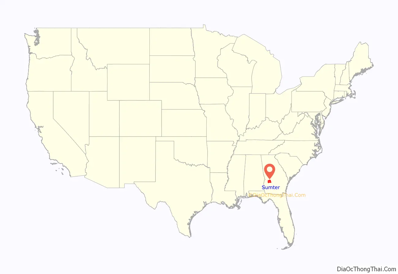
Sumter County location map. Where is Sumter County?
History
Foundation and antebellum years
Sumter County was established by an act of the state legislature on December 26, 1831, four years after the Creek Indians were forced from the region when the state acquired the territory from them in the 1825 Treaty of Indian Springs. Sumter, the state’s 80th county, was created after population increases by a division of Lee County, now situated to its south. The county was named for former General and United States Senator Thomas Sumter (1734–1832) of South Carolina. When the county was organized, Sumter was 97 years old and the last surviving general of the American Revolution (1775–1783).
Shortly thereafter, a committee chose a central site for the county seat, and laid out what became the town of Americus. Many of the county’s earliest white residents acquired their land through an 1827 state land lottery. Like many other white settlers, they quickly developed their property for cotton cultivation. Since the invention of the cotton gin at the end of the 18th century, short-staple cotton was the crop of choice throughout the Black Belt of the South.
The rich, black soil, combined with ready market access via the Flint River (bordering the county on the east) or the Chattahoochee River (farther west), put Sumter among the state’s most prosperous Black Belt counties by the 1840s and 1850s. Cotton agriculture was economically dependent on enslaved African Americans. By the 1850 census, the demographic makeup of the county had become 6,469 whites, 3,835 slaves, and 18 free people of color. By the 1860 census, the county had 4,536 whites, 4,890 slaves and two free people of color.
Civil War years
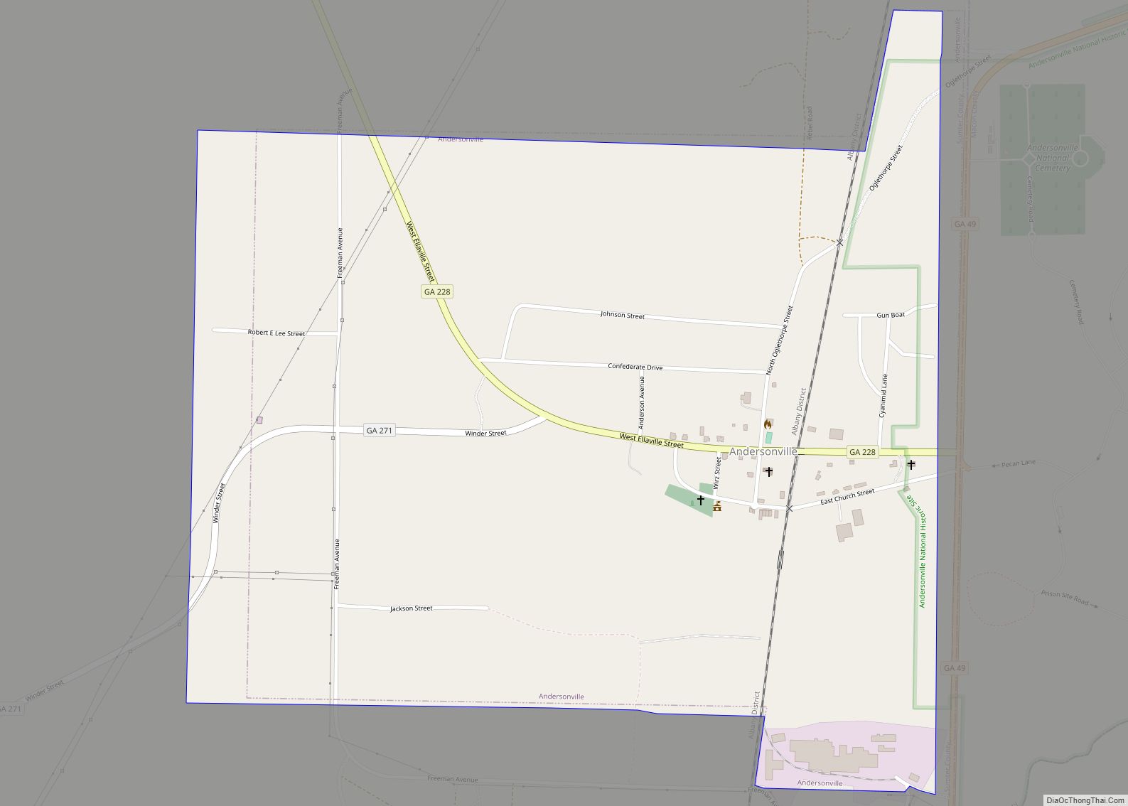
During the American Civil War (1861–65), the small village named Andersonville, 9 mi (14 km) north of Americus on the county’s northern edge, was selected by Confederate authorities as the site for a prisoner-of-war camp. The Andersonville prison was built in neighboring Macon County, and became the largest such prison in the South. During the camp’s 14 months of operations, some 45,000 Union prisoners suffered some of the worst conditions and highest casualties of any of the camps. Today, the Andersonville National Historic Site serves as a memorial to all American prisoners of war throughout the nation’s history. The 495-acre (2.00 km) park lies in both Macon and Sumter Counties and consists of the historic prison site and the National Cemetery, which originally was reserved for the Union dead.
Into modernity
Other areas of the county have attracted national attention in the 20th century for very different reasons. In 1942, two Baptist ministers chose a farm in the western part of the county as the location for a Christian commune named Koinonia, where Black and White workers lived and worked together for nearly 50 years, generating some hostility among local residents during its early years.
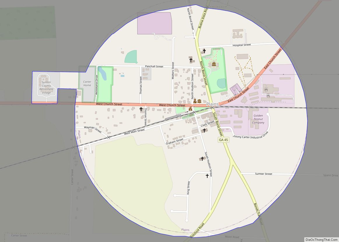
Sumter County counts a U.S. President among its native sons. Jimmy Carter was born and raised on a peanut farm in Plains, a small community on the county’s western edge. His election to the presidency in 1976 brought the small town considerable attention from journalists and tourists, which it continues to receive as the former President and his wife, and much of their family, still make Plains their home. Carter’s birthplace and childhood home has been designated a National Historic Site, and is open for tours.
The headquarters of Habitat for Humanity International, a nonprofit organization whose mission is to eliminate homelessness, is located in Americus, the home of its founder, Millard Fuller. In addition to Habitat’s socially impactful activities, Koinonia Partners publishes a bimonthly newsletter for the Prison and Jail Project promoting prisoner reform and education. Americus is also home to two colleges. Georgia Southwestern State University, a public four-year institution established in 1906, is part of the University System of Georgia. South Georgia Technical College, which stands near Souther Field, was a training base for American and British aviators during World War I (1917–18). Charles Lindbergh learned to fly here and assembled a military surplus “Jenny” aircraft with the help of mechanics at Souther Field. Downtown Americus boasts two prominent examples of historic restoration: the Windsor Hotel, built in 1892, and the Rylander Theatre, which originally opened in 1921.
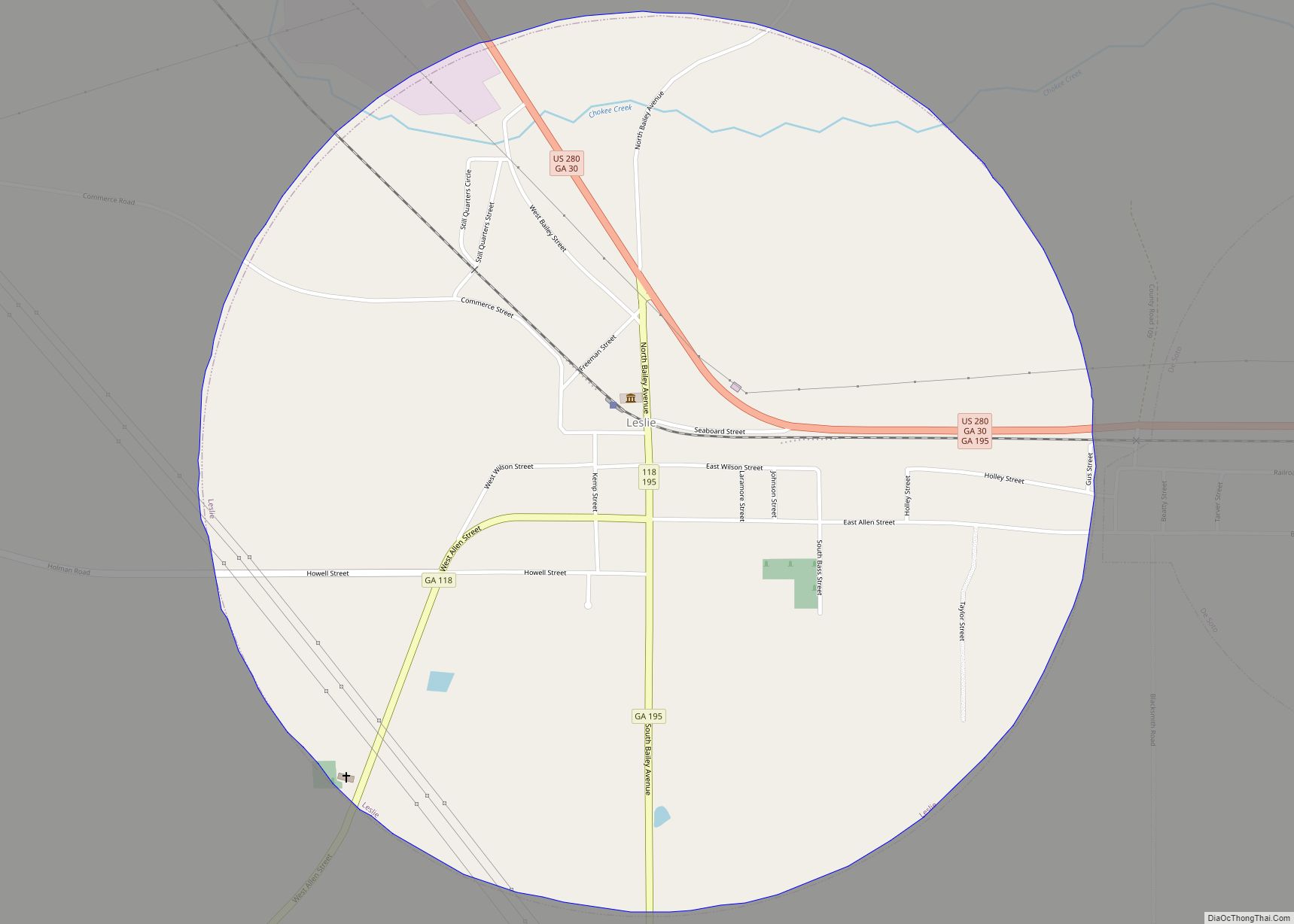
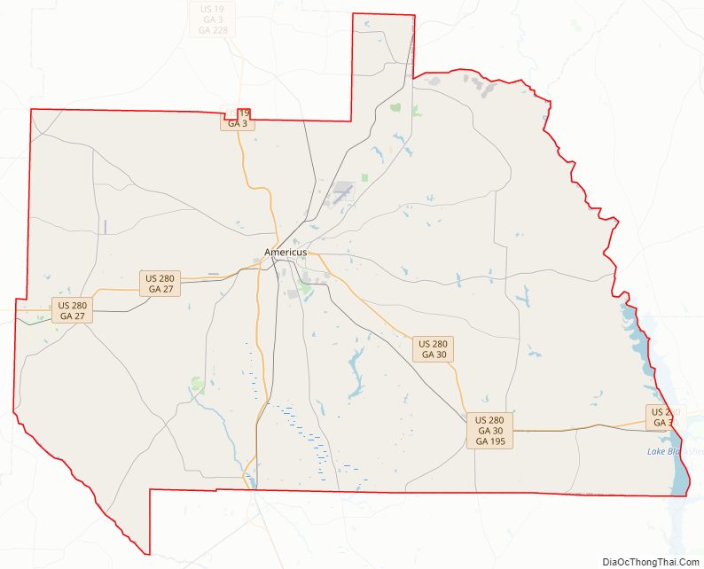
Sumter County Road Map
Geography
According to the U.S. Census Bureau, the county has a total area of 493 sq mi (1,280 km), of which 483 sq mi (1,250 km) are land and 10 sq mi (26 km) (2.0%) are covered by water.
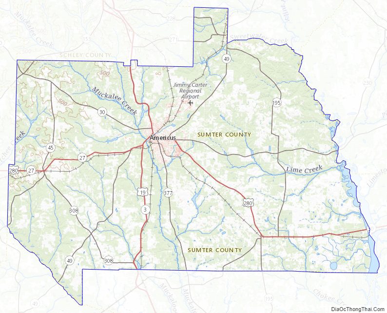
Muckalee Creek flows through Sumter County, which also contains Lake Blackshear and Kinchafoonee Creek.
The western two-thirds of Sumter County, from northeast of Americus to southwest of Leslie, is located in the Kinchafoonee-Muckalee subbasin of the ACF River Basin (Apalachicola-Chattahoochee-Flint River Basin). The eastern third of the county is located in the Middle Flint River subbasin of the same ACF River Basin.
Major highways
- U.S. Route 19
- U.S. Route 280
- State Route 3
- State Route 27
- State Route 30
- State Route 45
- State Route 49
- State Route 118
- State Route 153
- State Route 195
- State Route 228
- State Route 271
- State Route 308
- State Route 377
Adjacent counties
- Macon County (northeast)
- Dooly County (east)
- Crisp County (southeast)
- Lee County (south)
- Terrell County (southwest)
- Webster County (west)
- Marion County (northwest)
- Schley County (north)
National protected areas
- Andersonville National Historic Site (part)
- Jimmy Carter National Historic Site
Sumter County Topographic Map
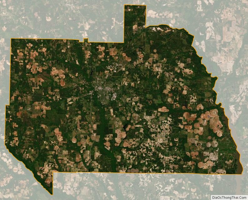
Sumter County Satellite Map
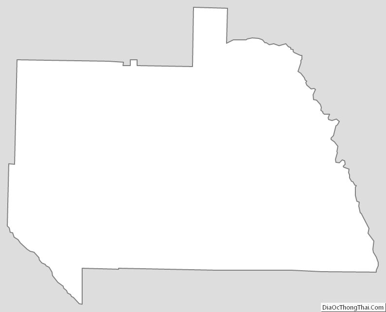
Sumter County Outline Map