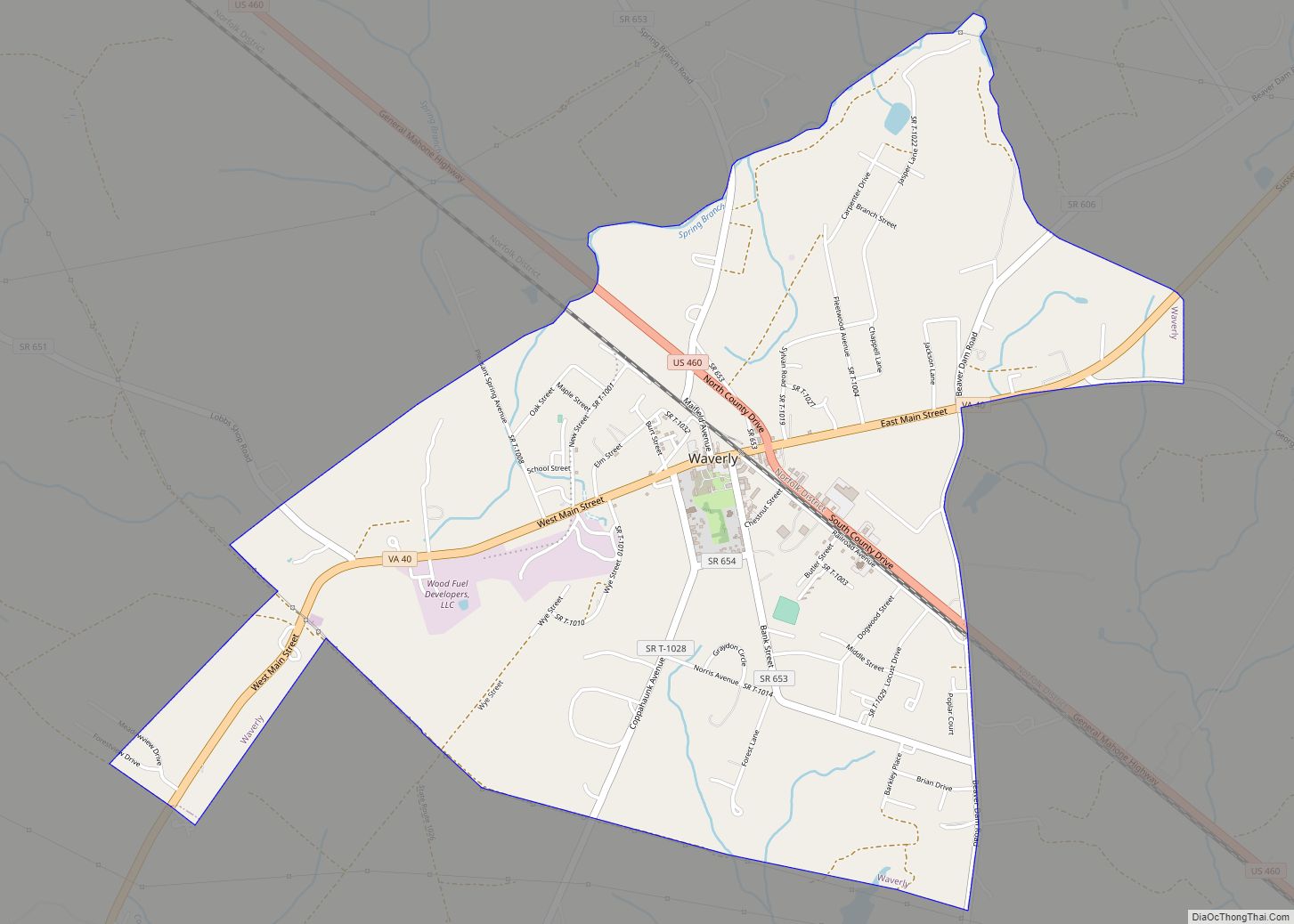
Sussex County is a rural county located in the Commonwealth of Virginia. As of the 2020 census, the population was 10,829. Its county seat is Sussex. It was formed in 1754 from Surry County. The county is named after the county of Sussex, England.
Sussex County is included in the Greater Richmond Region.
| Name: | Sussex County |
|---|---|
| FIPS code: | 51-183 |
| State: | Virginia |
| Founded: | 1754 |
| Named for: | Sussex, England |
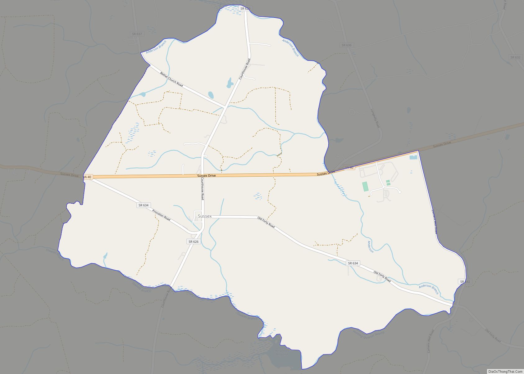
| Seat: | Sussex |
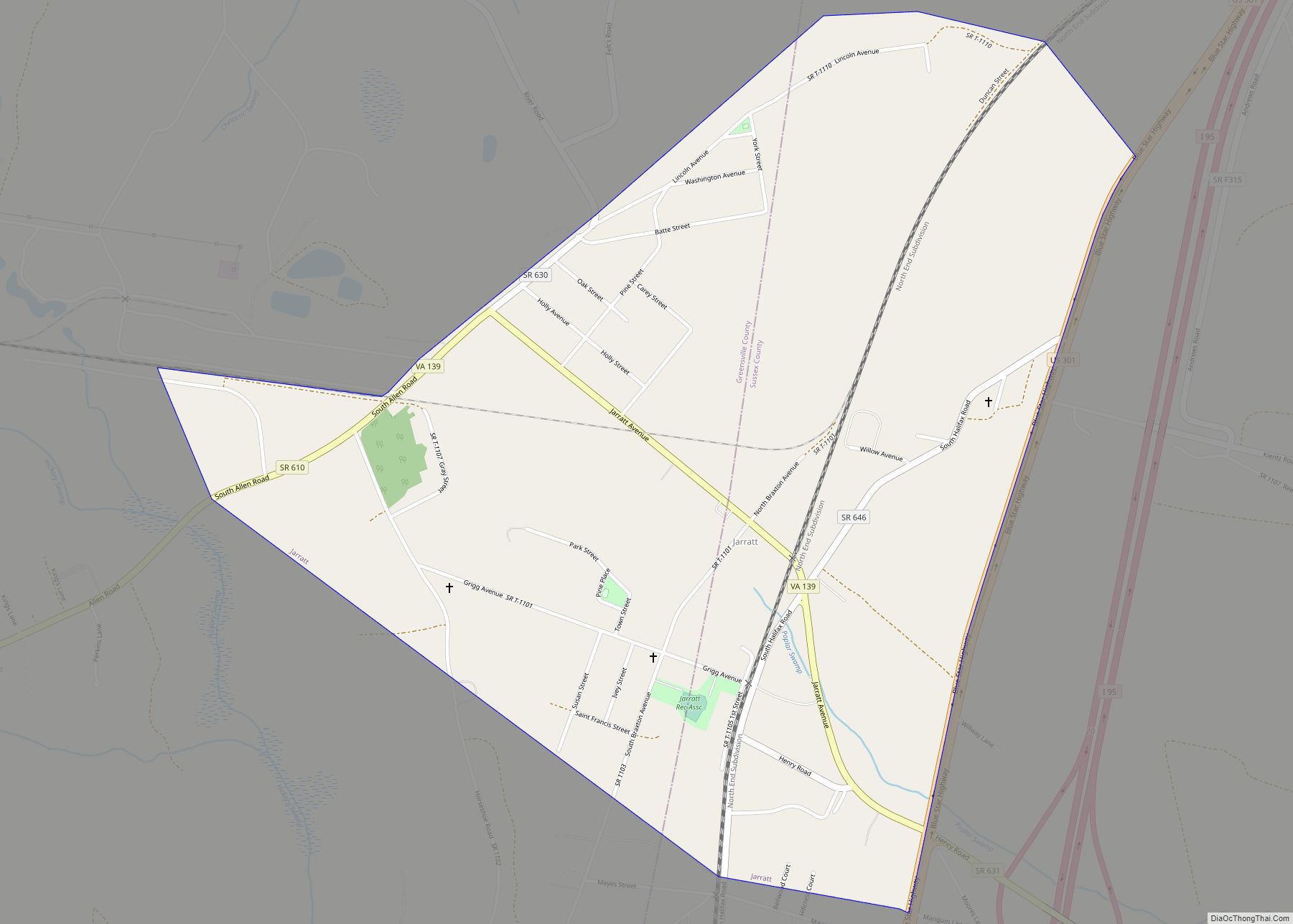
| Largest town: | Jarratt |
| Total Area: | 493 sq mi (1,280 km²) |
| Land Area: | 490 sq mi (1,300 km²) |
| Total Population: | 10,829 |
| Population Density: | 22/sq mi (8.5/km²) |
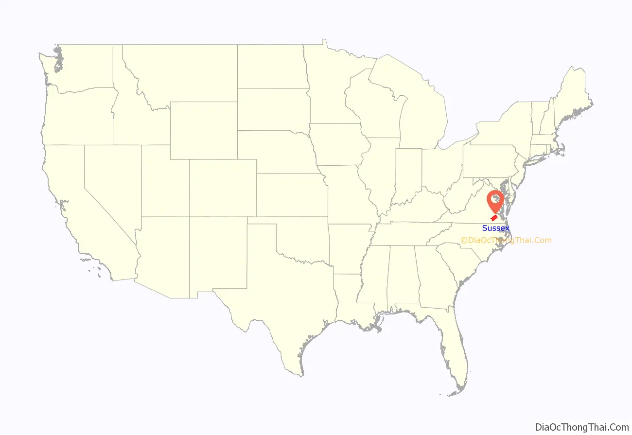
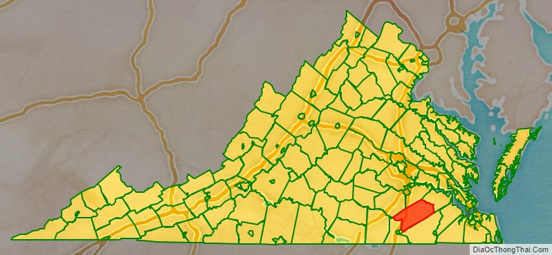
Sussex County location map. Where is Sussex County?
History
Native Americans may have settled near Cactus Hill along the Nottoway River in what became Sussex county as long as 10,000 years ago. The Nottoway people, speaking an Iroquoian language, were later part of the Powhatan Confederacy.
When colonists arrived from England in 1607, some traveled along the Nottoway River, but when they established the first counties, James City County included both sides of the James River all the way to the North Carolina line. The south side of the James River became Surry County in 1652. Virginia’s General Assembly formed Sussex County from the southwestern end of Surry County in 1754.
Sussex County has maintained a predominantly agricultural economy, as well as its historic heritage for over four centuries. It includes the Sussex County Courthouse Historic District and the Waverly Downtown Historic District, the Nottoway Archeological Site and six historic homes on the National Register.
The largest forest fire in Virginia’s recorded history occurred on April 5, 1943, destroying more than 12,000 acres in just six hours, while most firefighters were paying their respects at the funeral of Ella Darden Gray, matriarch of one of the county’s leading families, and whose son Garland Gray would become a key figure in the Massive Resistance crisis concerning desegregating Virginia’s public schools about a decade later.
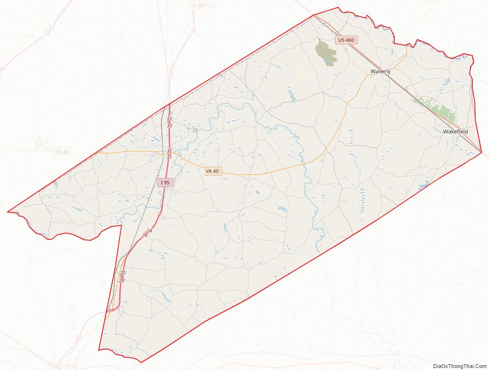
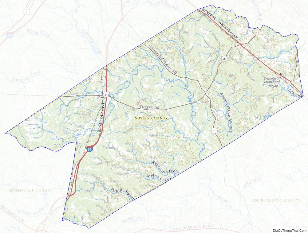
Sussex County Road Map
Geography
According to the U.S. Census Bureau, the county has a total area of 493 square miles (1,280 km), of which 490 square miles (1,300 km) is land and 2.6 square miles (6.7 km) (0.5%) is water.
Adjacent counties
- Dinwiddie County – northwest
- Prince George County – north
- Surry County – northeast
- Southampton County – southeast
- Greensville County – southwest
Major highways
- I-95 the major north–south highway on the Eastern Seaboard enters Sussex County from Greensville County. Access to the county is available at Exits 17, 20, 24, 31, and 33 before the road crosses the Sussex-Prince George County Line.
- US 301, the principal south–north route Sussex County until it was supplanted by I-95. A spur of US Route 1, it enters Sussex County from Greensville County, serves mainly as a frontage road along I-95, and leaves at Prince George County south of Carson.
- US 460, a major west-to-east corridor that has a brief southeastern run in the northeastern section of Sussex County, as a connecting route between the Central Appalachian Mountains and the Hampton Roads area. A spur of US 60, it enters Sussex County from Disputanta in Prince George County, serves the communities of Waverly and Wakefield before leaving the county at Southampton County northwest of Ivor.
- SR 31, a south–north state road that runs northeast from US 460 along East Main Street, then turns north onto Birch Island Road into Surry County towards the Jamestown-Scotland Ferry and Williamsburg.
- SR 35, a south–north state road that enters the state from North Carolina and the county from the cotton fields of Southampton County. The route runs mainly northwest along Jerusalem Plank Road through the communities of Homeville and Lambs before leaving the county at the Sussex-Prince George County Line.
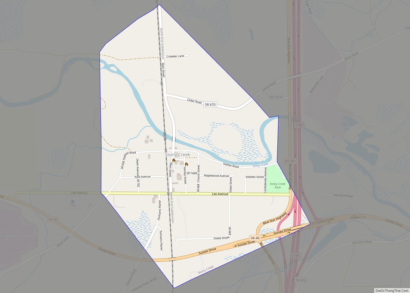
- SR 40, the west–east state road that runs from Dinwiddie County through Stony Creek, West Hope and Sussex, then enters Surry County after passing through Waverly. A business route of SR 40 exists within Stony Creek.
- SR 139, a local west–east state route in Jarratt running northeast along South Allen Road then turns southeast along Jarratt Avenue both in Sussex and Greensville Counties, the latter of which is where it ends at US 301.
Sussex County Topographic Map
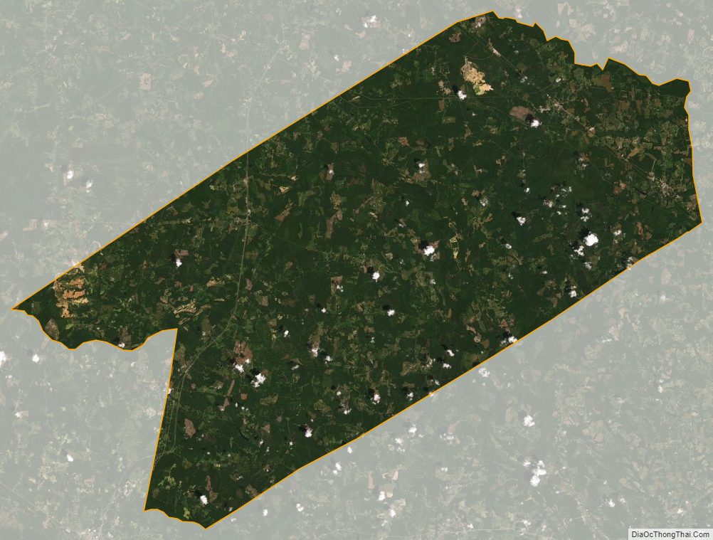
Sussex County Satellite Map
Sussex County Outline Map