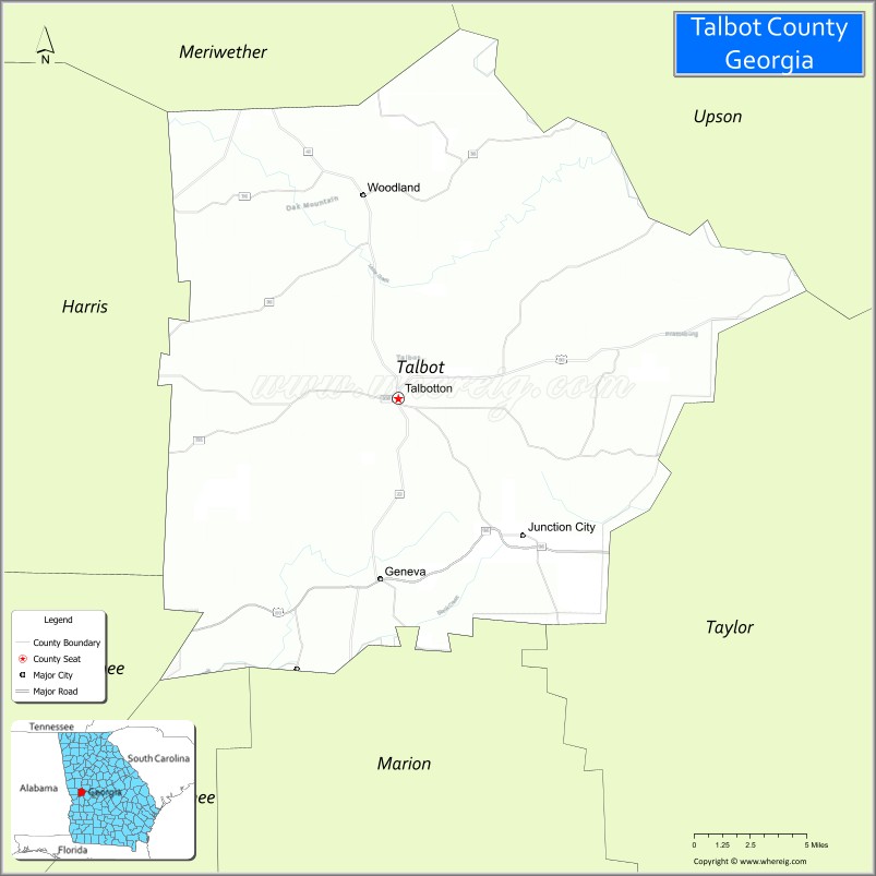
Talbot County is a county located in the west central portion of the U.S. state of Georgia. The 2020 census showed a population of 5,733. The county seat and largest city is Talbotton.
| Name: | Talbot County |
|---|---|
| FIPS code: | 13-263 |
| State: | Georgia |
| Founded: | 1827 |
| Named for: | Matthew Talbot |
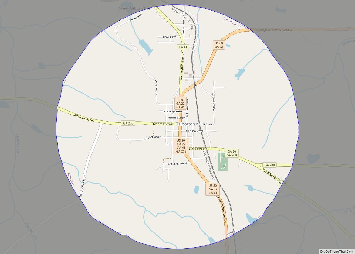
| Seat: | Talbotton |
| Largest city: | Talbotton |
| Total Area: | 395 sq mi (1,020 km²) |
| Land Area: | 391 sq mi (1,010 km²) |
| Total Population: | 5,733 |
| Population Density: | 15/sq mi (6/km²) |
| Time zone: | UTC−5 (Eastern) |
| Summer Time Zone (DST): | UTC−4 (EDT) |
| Website: | talbotcountyga.org |
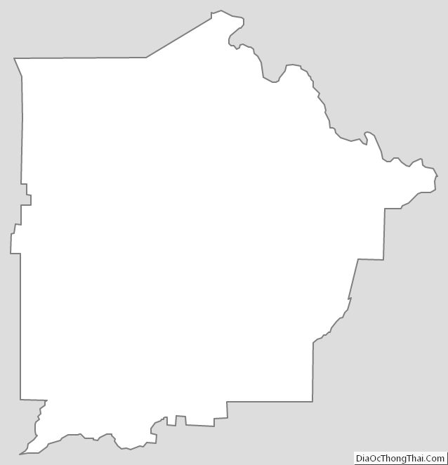
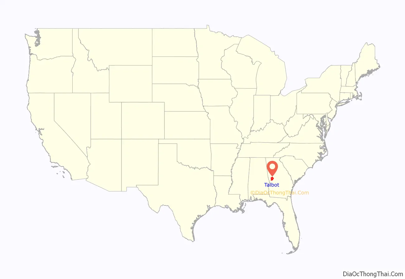
Talbot County location map. Where is Talbot County?
History
Talbot County was created from a portion of Muscogee County by a December 14, 1827 act of the Georgia General Assembly. It was named after the late Georgia governor Matthew Talbot. Taylor County was created from a portion of Talbot County in 1852.
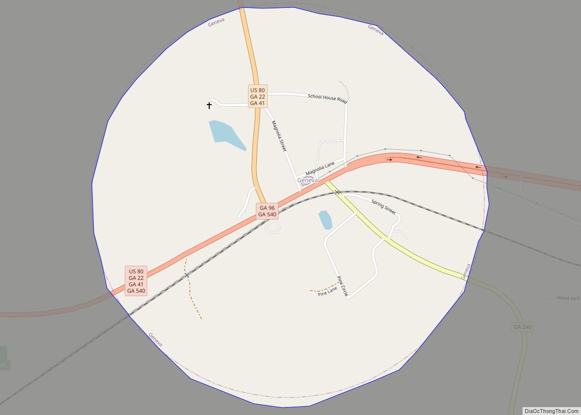
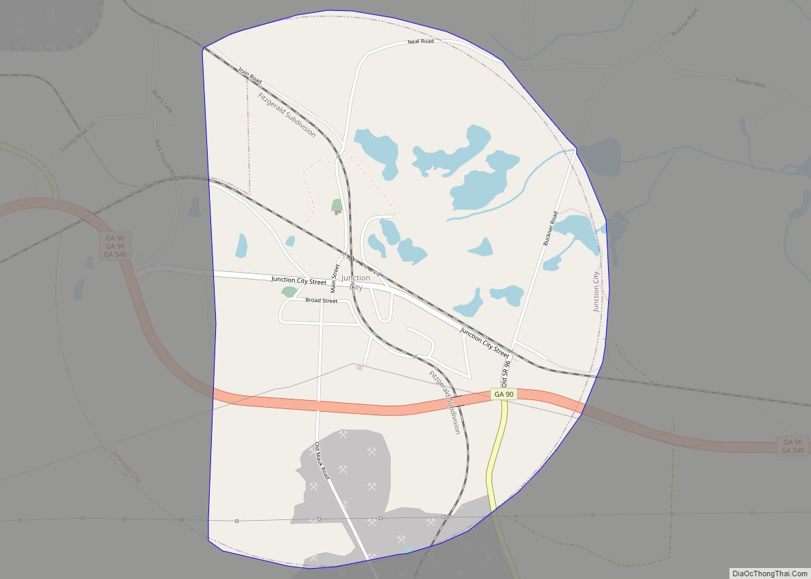
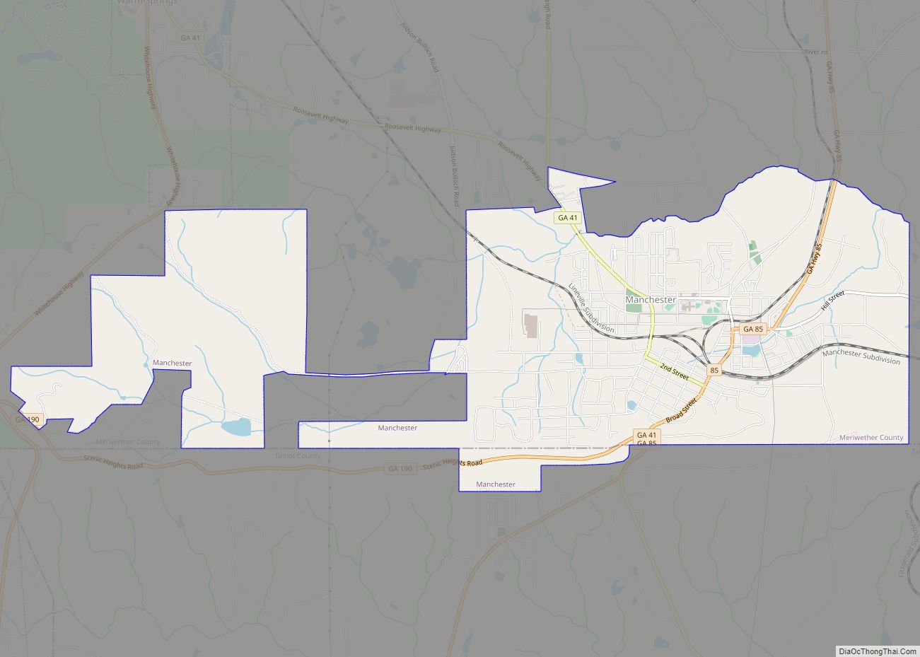
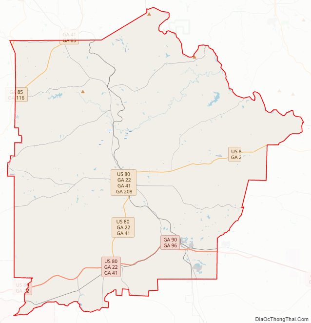
Talbot County Road Map
Geography
According to the U.S. Census Bureau, the county has a total area of 395 square miles (1,020 km), of which 391 square miles (1,010 km) is land and 3.4 square miles (8.8 km) (0.9%) is water.
The county straddles the fall line of the Eastern U.S., and thus northern areas of the county are hillier compared to southern areas of the county. The Fall Line Freeway runs across the southern portion of the county, following Georgia State Route 96 from Geneva to Junction City. The far northern portion of the county is part of the Pine Mountain Range, with elevations in this areas exceeding 1,000 ft on the highest peaks of the mountains.
The northeastern three-quarters of Talbot County is located in the Upper Flint River sub-basin of the Apalachicola-Chattahoochee-Flint River Basin. The southwestern quarter, west of Junction City, is located in the Middle Chattahoochee River-Walter F. George Lake sub-basin, while a narrow sliver of the western border, east of Waverly Hall, is located in the Middle Chattahoochee River-Lake Harding sub-basin.
Major highways
U.S. Route 27 Alternate- U.S. Route 80
- State Route 22
- State Route 36
- State Route 41
- State Route 85
- State Route 85 Alternate
- State Route 96
- State Route 116
- State Route 190
- State Route 208
- State Route 240
- State Route 315
- State Route 540 (Fall Line Freeway)
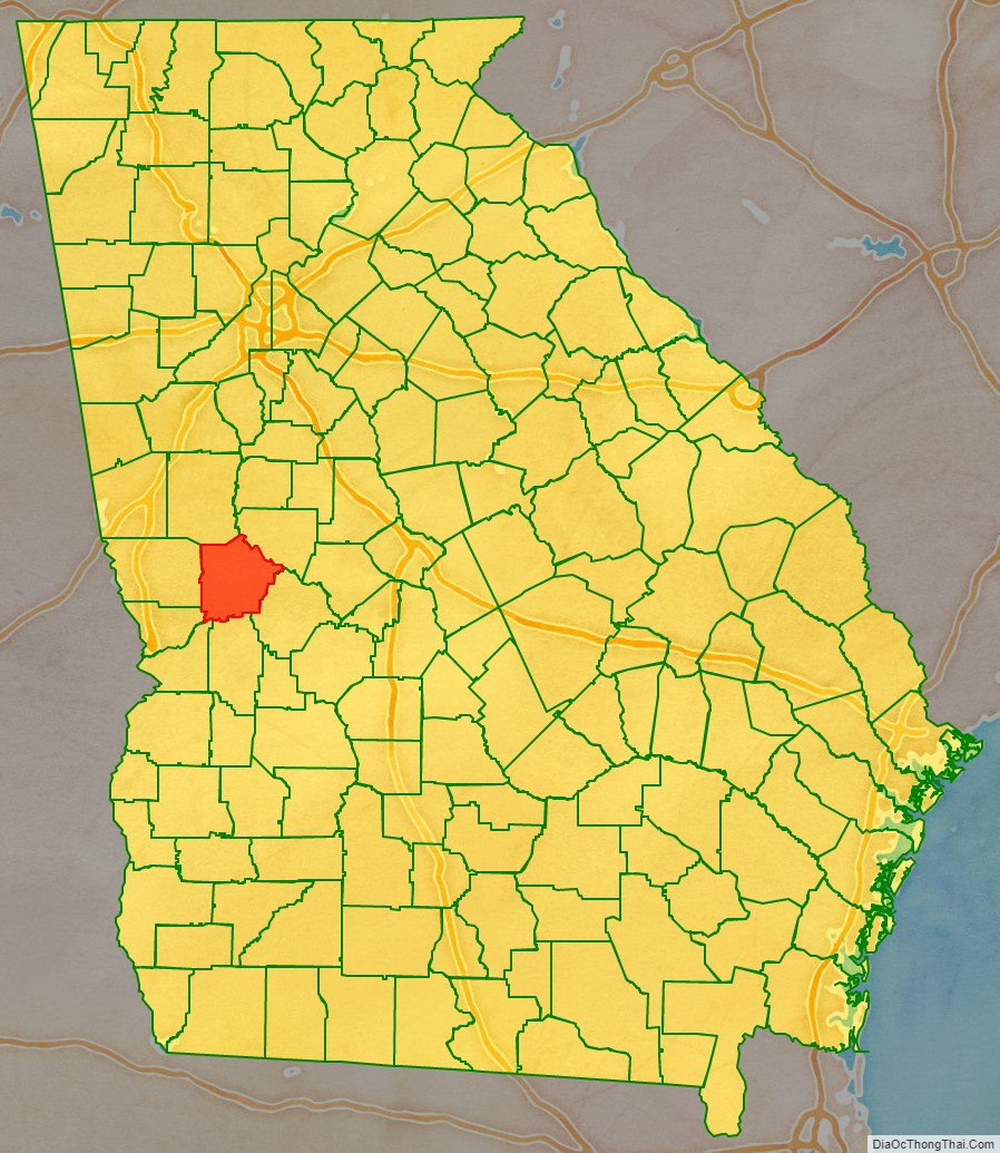
Adjacent counties
- Upson County – northeast
- Taylor County – southeast
- Marion County – south
- Chattahoochee County – southwest
- Muscogee County – west-southwest
- Harris County – west
- Meriwether County – north
Railroads
- CSX Fitzgerald Subdivision
- Norfolk Southern Columbus District
Talbot County Topographic Map
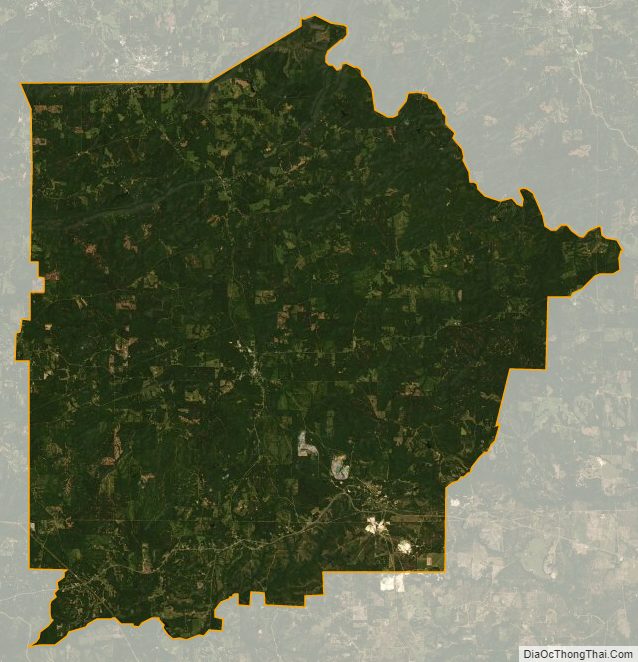
Talbot County Satellite Map
Talbot County Outline Map