Talbotton is a city in Talbot County, Georgia, United States. The population was 970 at the 2010 census. The city is the county seat of Talbot County.
| Name: | Talbotton city |
|---|---|
| LSAD Code: | 25 |
| LSAD Description: | city (suffix) |
| State: | Georgia |
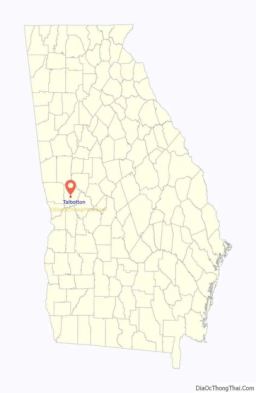
| County: | Talbot County |
| Elevation: | 732 ft (223 m) |
| Total Area: | 3.13 sq mi (8.09 km²) |
| Land Area: | 3.10 sq mi (8.04 km²) |
| Water Area: | 0.02 sq mi (0.05 km²) |
| Total Population: | 742 |
| Population Density: | 238.97/sq mi (92.27/km²) |
| ZIP code: | 31827 |
| Area code: | 706 |
| FIPS code: | 1375244 |
| GNISfeature ID: | 0333180 |
| Website: | talbottonga.org |
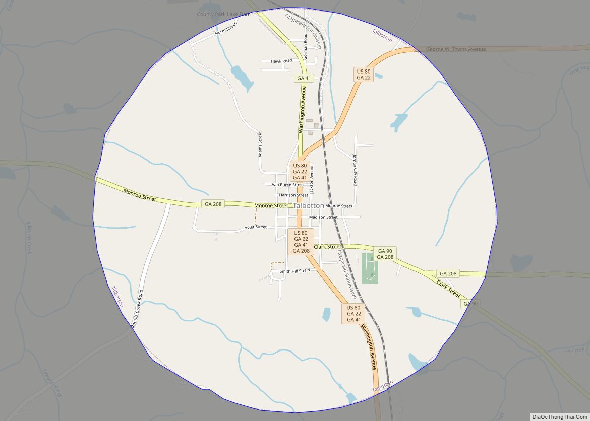
Online Interactive Map
Click on ![]() to view map in "full screen" mode.
to view map in "full screen" mode.
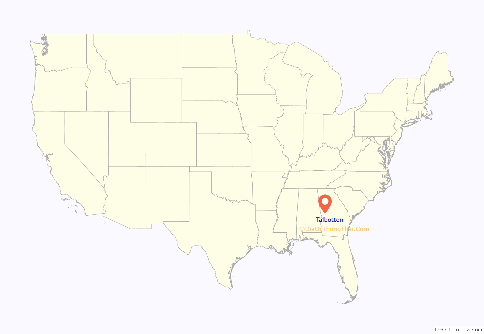
Talbotton location map. Where is Talbotton city?
History
Talbotton was founded in 1828 as the seat of the newly formed Talbot County. Both the county and the town were named for Governor Matthew Talbot.
Talbotton may be best known in history as the place where the immigrant Straus family got their start in retail sales in the 19th century. In 1896, the family acquired R. H. Macy & Co. in New York.
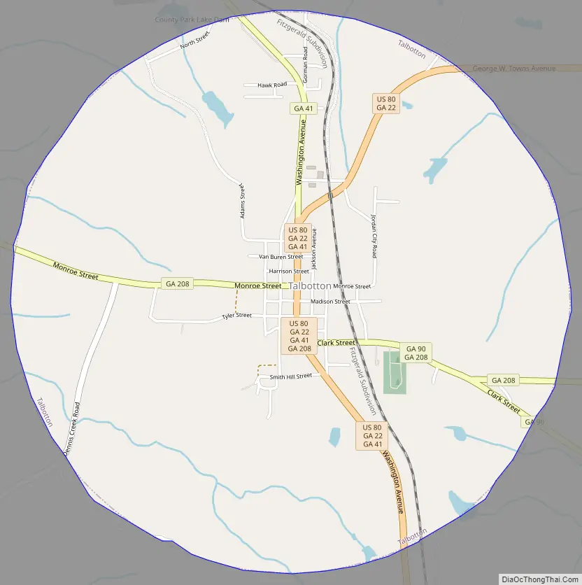
Talbotton Road Map
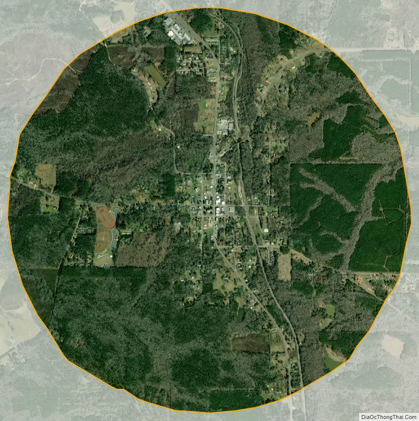
Talbotton city Satellite Map
Geography
Talbotton is located at 32°40′41″N 84°32′23″W / 32.67806°N 84.53972°W / 32.67806; -84.53972 (32.678170, -84.539787). According to the United States Census Bureau, the city has a total area of 3.1 square miles (8.0 km), of which 3.1 square miles (8.0 km) is land and 0.32% is water.
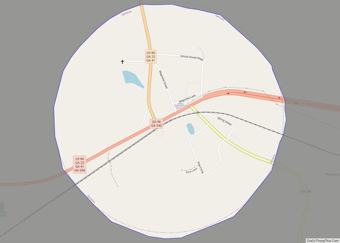
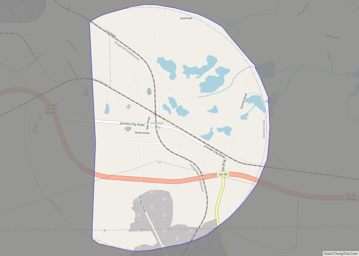
The city is located in the central portion of the county along U.S. Route 80, which runs north to south through the main part of town, and turns east leaving town. U.S. Route 80 leads east 34 mi (55 km) to Roberta and southwest 37 mi (60 km) to Columbus. Georgia State Routes 90 and 208 also run through the city as well, with GA 90 leading southeast 8 mi (13 km) to Junction City and GA 208 leading west 13 mi (21 km) to Waverly Hall.
See also
Map of Georgia State and its subdivision:- Appling
- Atkinson
- Bacon
- Baker
- Baldwin
- Banks
- Barrow
- Bartow
- Ben Hill
- Berrien
- Bibb
- Bleckley
- Brantley
- Brooks
- Bryan
- Bulloch
- Burke
- Butts
- Calhoun
- Camden
- Candler
- Carroll
- Catoosa
- Charlton
- Chatham
- Chattahoochee
- Chattooga
- Cherokee
- Clarke
- Clay
- Clayton
- Clinch
- Cobb
- Coffee
- Colquitt
- Columbia
- Cook
- Coweta
- Crawford
- Crisp
- Dade
- Dawson
- Decatur
- DeKalb
- Dodge
- Dooly
- Dougherty
- Douglas
- Early
- Echols
- Effingham
- Elbert
- Emanuel
- Evans
- Fannin
- Fayette
- Floyd
- Forsyth
- Franklin
- Fulton
- Gilmer
- Glascock
- Glynn
- Gordon
- Grady
- Greene
- Gwinnett
- Habersham
- Hall
- Hancock
- Haralson
- Harris
- Hart
- Heard
- Henry
- Houston
- Irwin
- Jackson
- Jasper
- Jeff Davis
- Jefferson
- Jenkins
- Johnson
- Jones
- Lamar
- Lanier
- Laurens
- Lee
- Liberty
- Lincoln
- Long
- Lowndes
- Lumpkin
- Macon
- Madison
- Marion
- McDuffie
- McIntosh
- Meriwether
- Miller
- Mitchell
- Monroe
- Montgomery
- Morgan
- Murray
- Muscogee
- Newton
- Oconee
- Oglethorpe
- Paulding
- Peach
- Pickens
- Pierce
- Pike
- Polk
- Pulaski
- Putnam
- Quitman
- Rabun
- Randolph
- Richmond
- Rockdale
- Schley
- Screven
- Seminole
- Spalding
- Stephens
- Stewart
- Sumter
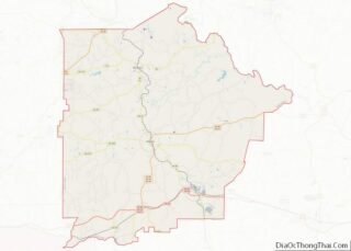
- Talbot
- Taliaferro
- Tattnall
- Taylor
- Telfair
- Terrell
- Thomas
- Tift
- Toombs
- Towns
- Treutlen
- Troup
- Turner
- Twiggs
- Union
- Upson
- Walker
- Walton
- Ware
- Warren
- Washington
- Wayne
- Webster
- Wheeler
- White
- Whitfield
- Wilcox
- Wilkes
- Wilkinson
- Worth
- Alabama
- Alaska
- Arizona
- Arkansas
- California
- Colorado
- Connecticut
- Delaware
- District of Columbia
- Florida
- Georgia
- Hawaii
- Idaho
- Illinois
- Indiana
- Iowa
- Kansas
- Kentucky
- Louisiana
- Maine
- Maryland
- Massachusetts
- Michigan
- Minnesota
- Mississippi
- Missouri
- Montana
- Nebraska
- Nevada
- New Hampshire
- New Jersey
- New Mexico
- New York
- North Carolina
- North Dakota
- Ohio
- Oklahoma
- Oregon
- Pennsylvania
- Rhode Island
- South Carolina
- South Dakota
- Tennessee
- Texas
- Utah
- Vermont
- Virginia
- Washington
- West Virginia
- Wisconsin
- Wyoming