Telfair County is a county located in the central portion of the U.S. state of Georgia. As of the 2020 census, the population was 12,477. The largest city and county seat is McRae-Helena.
In 2009, researchers from the Fernbank Museum of Natural History announced having found artifacts they associated with the 1541 Hernando de Soto Expedition at a private site near the Ocmulgee River, the first such find between Tallahassee, Florida and western North Carolina. De Soto’s expedition was well recorded, but researchers have had difficulties finding artifacts from sites where he stopped. This site was an indigenous village occupied by the historic Creek people from the early 15th century into the 16th century. It was located further southeast than de Soto’s expedition was thought to go in Georgia.
| Name: | Telfair County |
|---|---|
| FIPS code: | 13-271 |
| State: | Georgia |
| Founded: | 1807 |
| Named for: | Edward Telfair |
| Seat: | McRae-Helena |
| Largest city: | McRae-Helena |
| Total Area: | 444 sq mi (1,150 km²) |
| Land Area: | 437 sq mi (1,130 km²) |
| Total Population: | 12,477 |
| Population Density: | 29/sq mi (11/km²) |
| Time zone: | UTC−5 (Eastern) |
| Summer Time Zone (DST): | UTC−4 (EDT) |
| Website: | telfaircounty.georgia.gov |
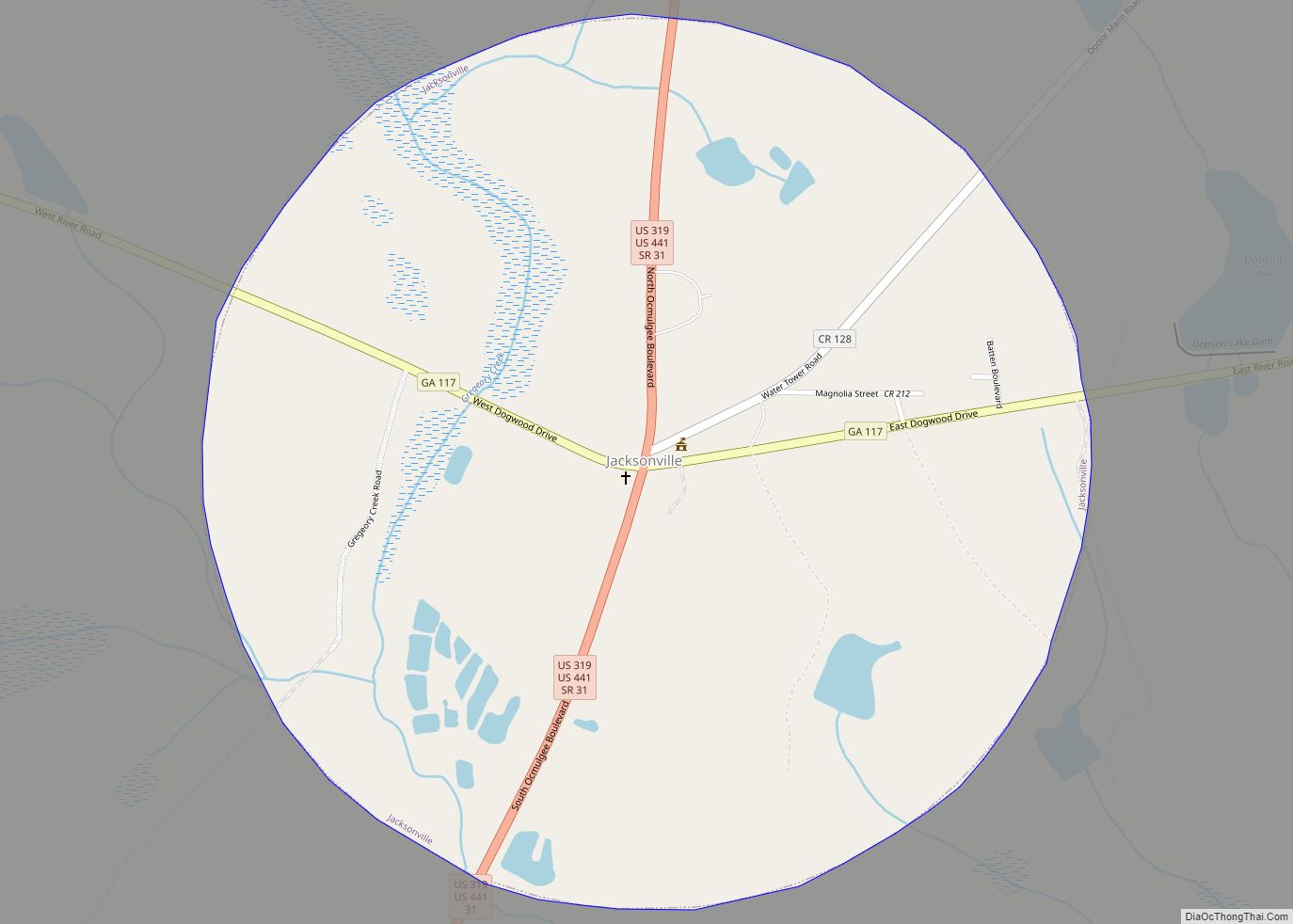
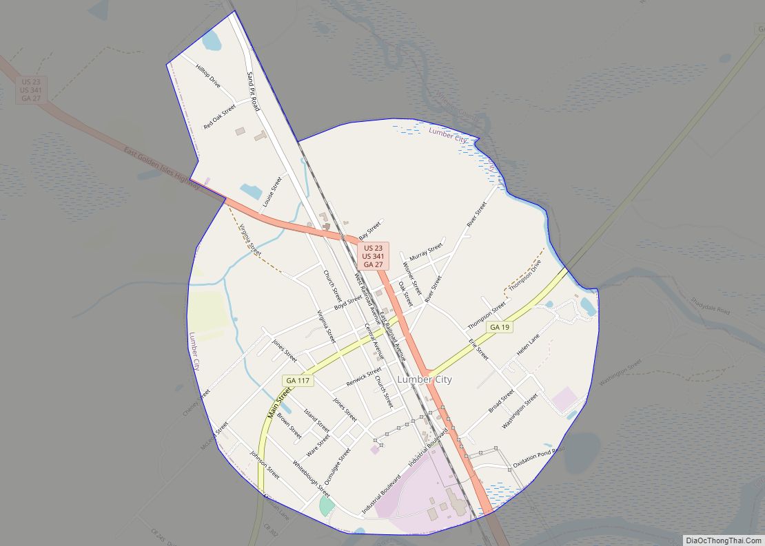
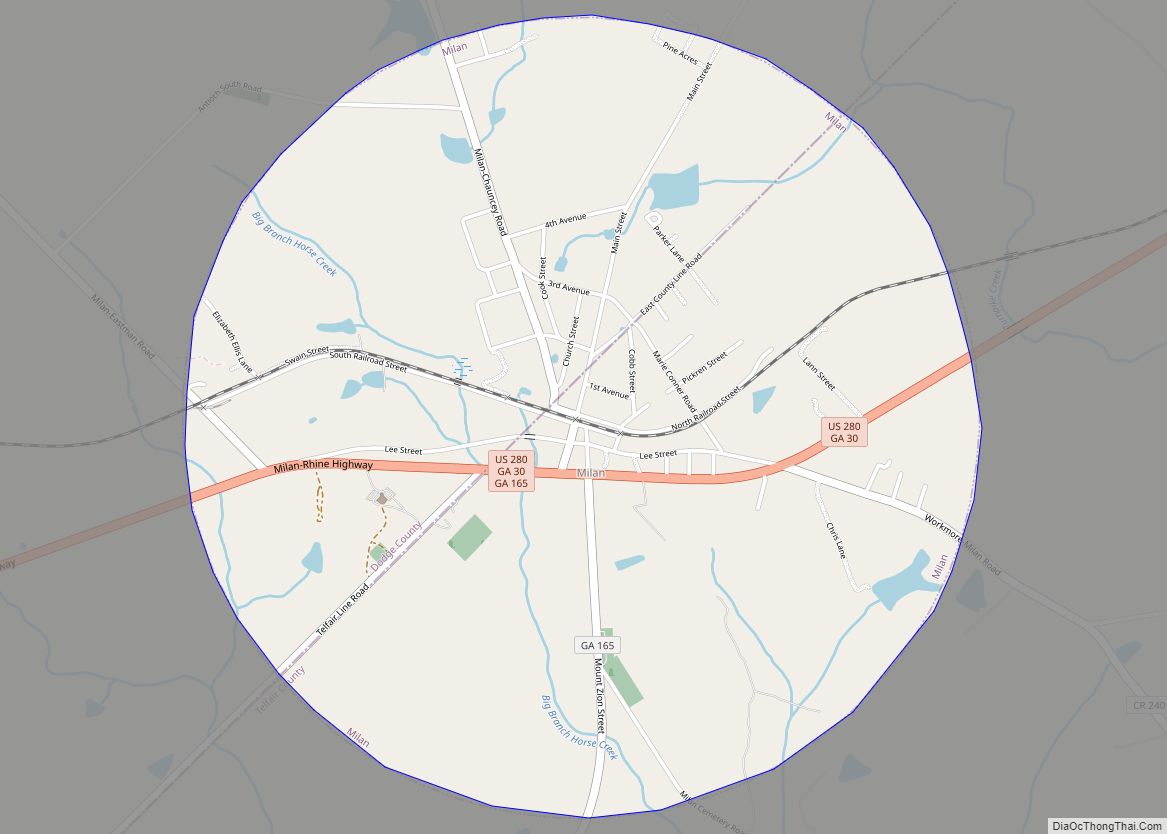
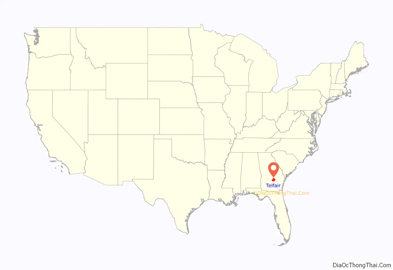
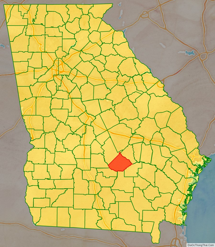
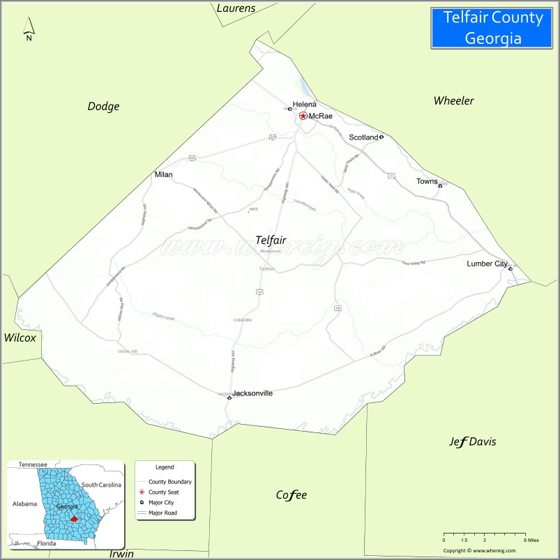
Telfair County location map. Where is Telfair County?
History
Archaeologists associated with Atlanta’s Fernbank Museum of Natural History have excavated a 2,000-acre (8.1 km) plot near McRae-Helena and approximately a mile from the Ocmulgee River, beginning in 2005. In 2009 they announced finding evidence of a Spanish settlement dating to the first half of the 16th century. The archaeologists originally believed that the artifacts may have come from a settlement founded by Spanish leader Lucas Vázquez de Ayllón from Hispaniola in 1526 and briefly occupied by hundreds of colonists. The group encountered hard conditions and fewer than 200 survived to return to Hispaniola.
Additional research suggests that the site instead was one visited in 1541 by the de Soto Expedition. Researchers have recovered Murano glass beads, made in Venice, Italy, and brought by the Spanish for trading with Native Americans; pottery fragments, and iron weapons. Some of the beads bear a chevron pattern. Such beads have been identified as a hallmark of the de Soto expedition, due to the limited period of time in which they were produced. Excavations have also produced six metal objects, including three iron tools and a silver pendant.
The site is further west than scholars had earlier believed that the de Soto expedition had traveled, based on documentation from his expedition. This was the first evidence found of his expedition between Tallahassee, Florida, where excavations have revealed artifacts of his expedition, and western North Carolina where another site has been found.
This site is believed to have been a Native American community, occupied from the end of the 15th century through the first decades of the 16th century. At that time, they had neither glass nor metal goods. Blanton presented a paper on his findings on November 5, 2009, at the Southeastern Archaeological Conference in Mobile, Alabama.
The historic Creek people occupied much of this area of Georgia. Telfair County was established by European Americans on December 10, 1807, as part of Georgia. Development of the county largely took place after Indian Removal in the 1830s of the Creek Confederacy, who had occupied a large territory, including the southern two thirds of present-day Georgia, for thousands of years. They were removed to Indian Territory west of the Mississippi River, in today’s Oklahoma. The county is named for Edward Telfair, the sixteenth governor of Georgia and a member of the Continental Congress.
Many of the first European-American settlers were Scottish immigrants and Scots-Irish migrants who traveled down the backcountry from Pennsylvania and Virginia.
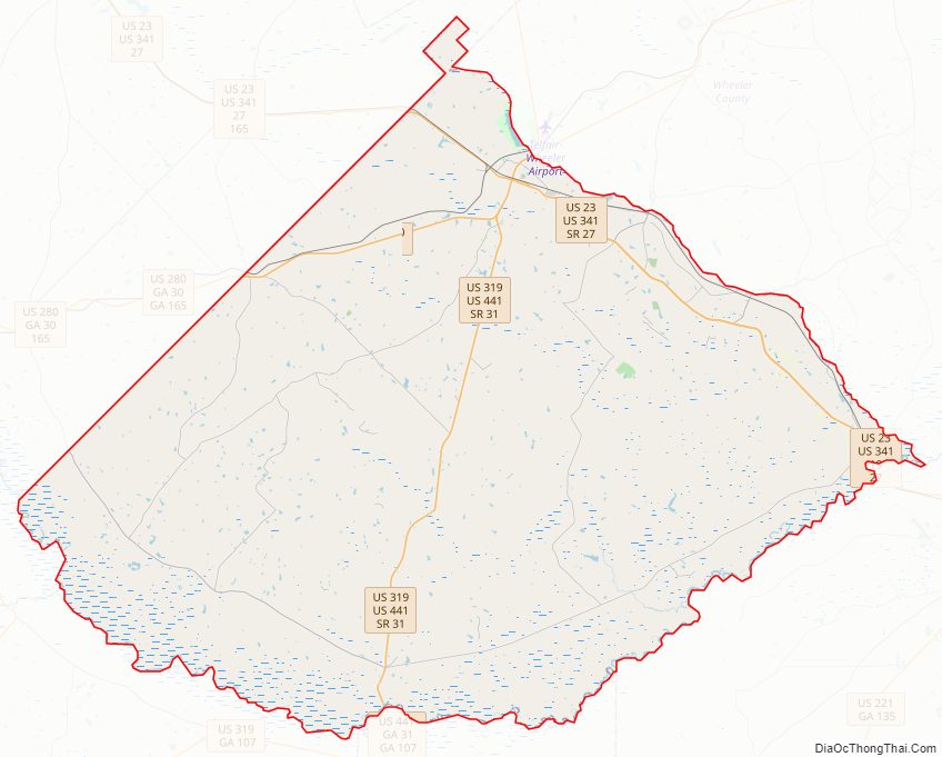
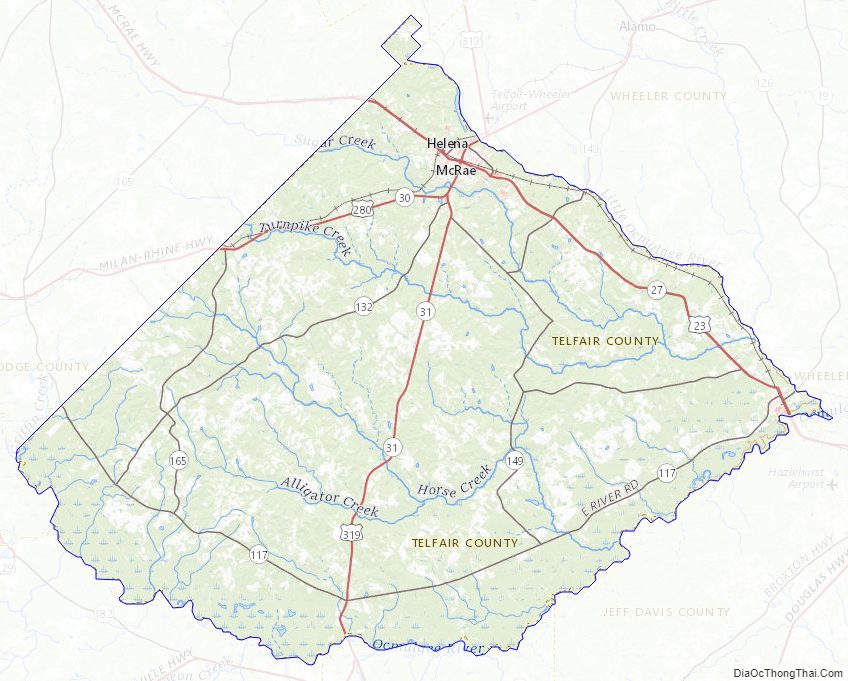
Telfair County Road Map
Geography
According to the U.S. Census Bureau, the county has a total area of 444 square miles (1,150 km), of which 437 square miles (1,130 km) is land and 6.7 square miles (17 km) (1.5%) is water. The county contains at least 50 artesian wells.
The southern two-thirds of Telfair County, bordered by a line from Milan east to Lumber City, are located in the Lower Ocmulgee River sub-basin of the Altamaha River basin. The northern portion of the county is located in the Little Ocmulgee River sub-basin of the same Altamaha River basin.
Major highways
- U.S. Route 23
- U.S. Route 280
- U.S. Route 319
- U.S. Route 341
- U.S. Route 441
- State Route 19
- State Route 27
- State Route 30
- State Route 31
- State Route 117
- State Route 132
- State Route 149
- State Route 149 Connector
- State Route 165
Adjacent counties
- Wheeler County (northeast)
- Jeff Davis County (southeast)
- Coffee County (south)
- Ben Hill County (southwest)
- Wilcox County (west)
- Dodge County (northwest)
- Laurens County (north)
Telfair County Topographic Map
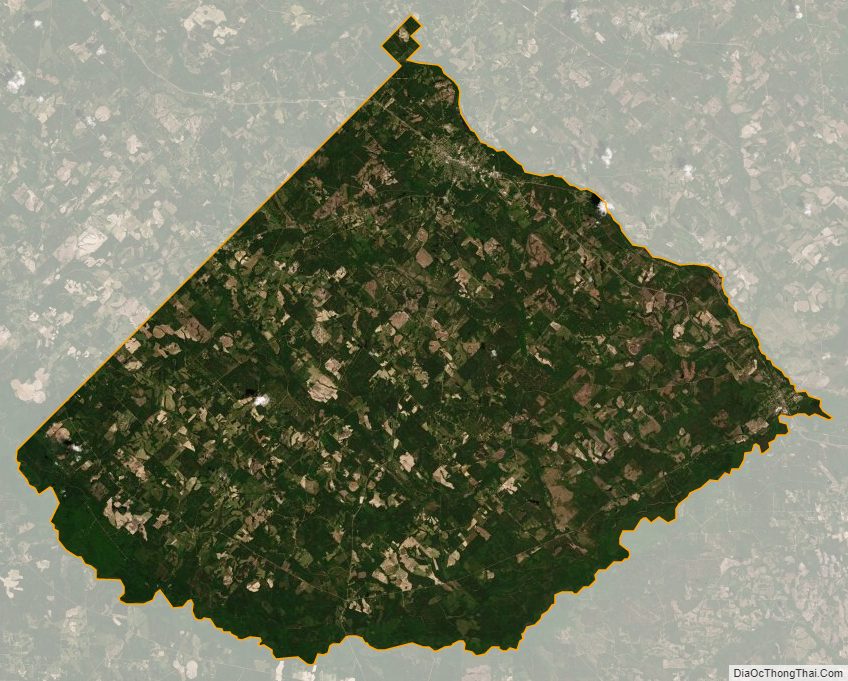
Telfair County Satellite Map
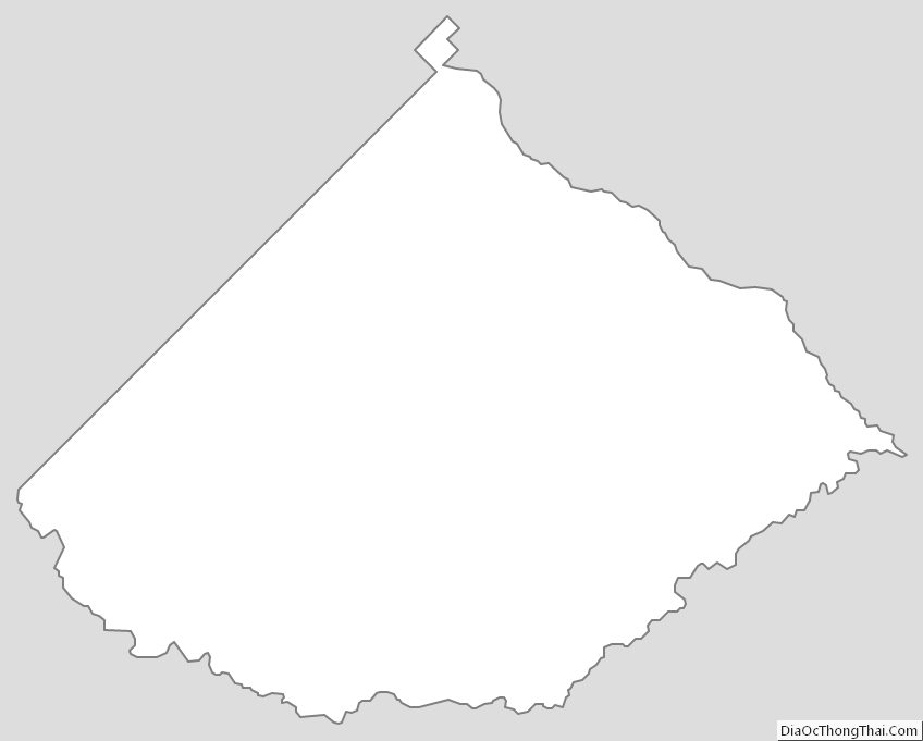
Telfair County Outline Map