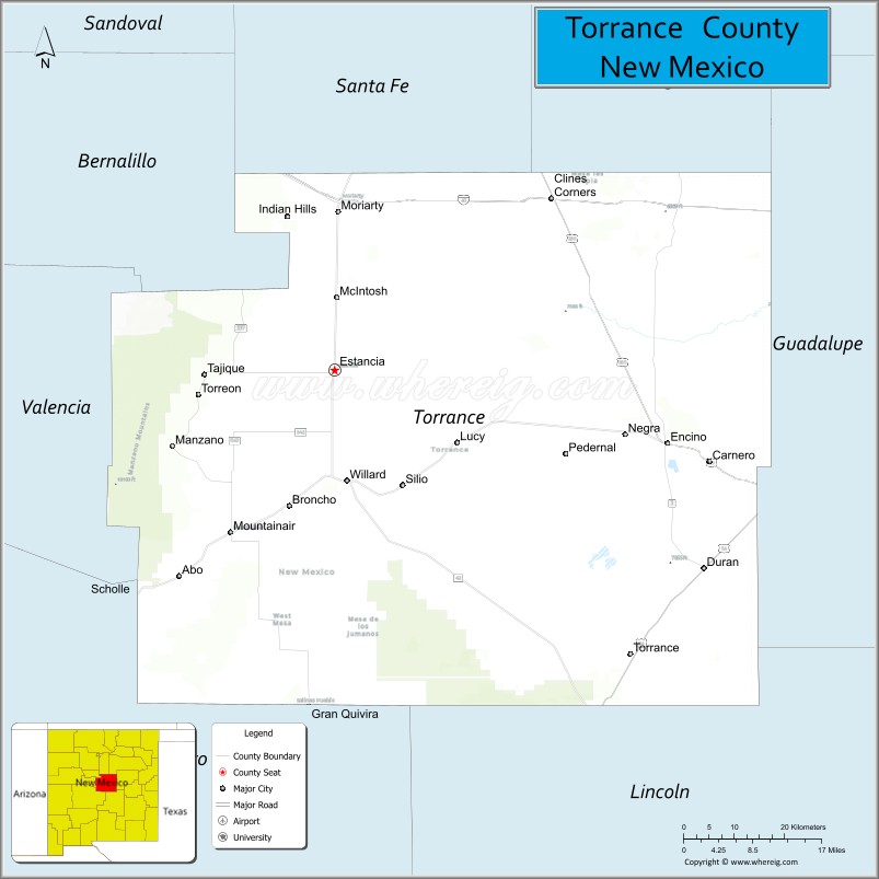
Torrance County is a county located in the center of the U.S. state of New Mexico. As of the 2010 census, the population was 16,383. The county seat is Estancia.
The geographic center of New Mexico is located in Torrance County, southwest of the Village of Willard, and in 2010, the center of population of New Mexico was located in Torrance County, near Manzano. Torrance County is included in the Albuquerque, NM Metropolitan Statistical Area.
| Name: | Torrance County |
|---|---|
| FIPS code: | 35-057 |
| State: | New Mexico |
| Founded: | March 16, 1903 |
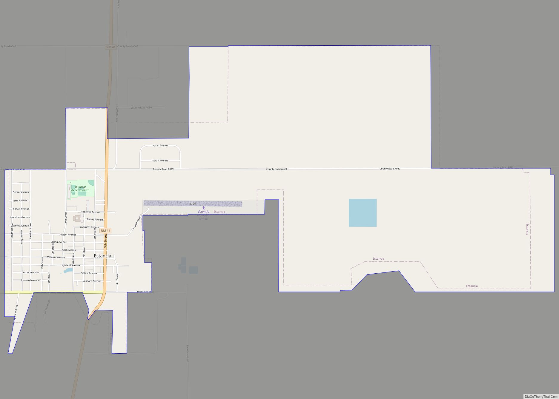
| Seat: | Estancia |
| Largest city: | Moriarty |
| Total Area: | 3,346 sq mi (8,670 km²) |
| Land Area: | 3,345 sq mi (8,660 km²) |
| Total Population: | 15,307 |
| Population Density: | 4.9/sq mi (1.9/km²) |
| Time zone: | UTC−7 (Mountain) |
| Summer Time Zone (DST): | UTC−6 (MDT) |
| Website: | www.torrancecountynm.org |
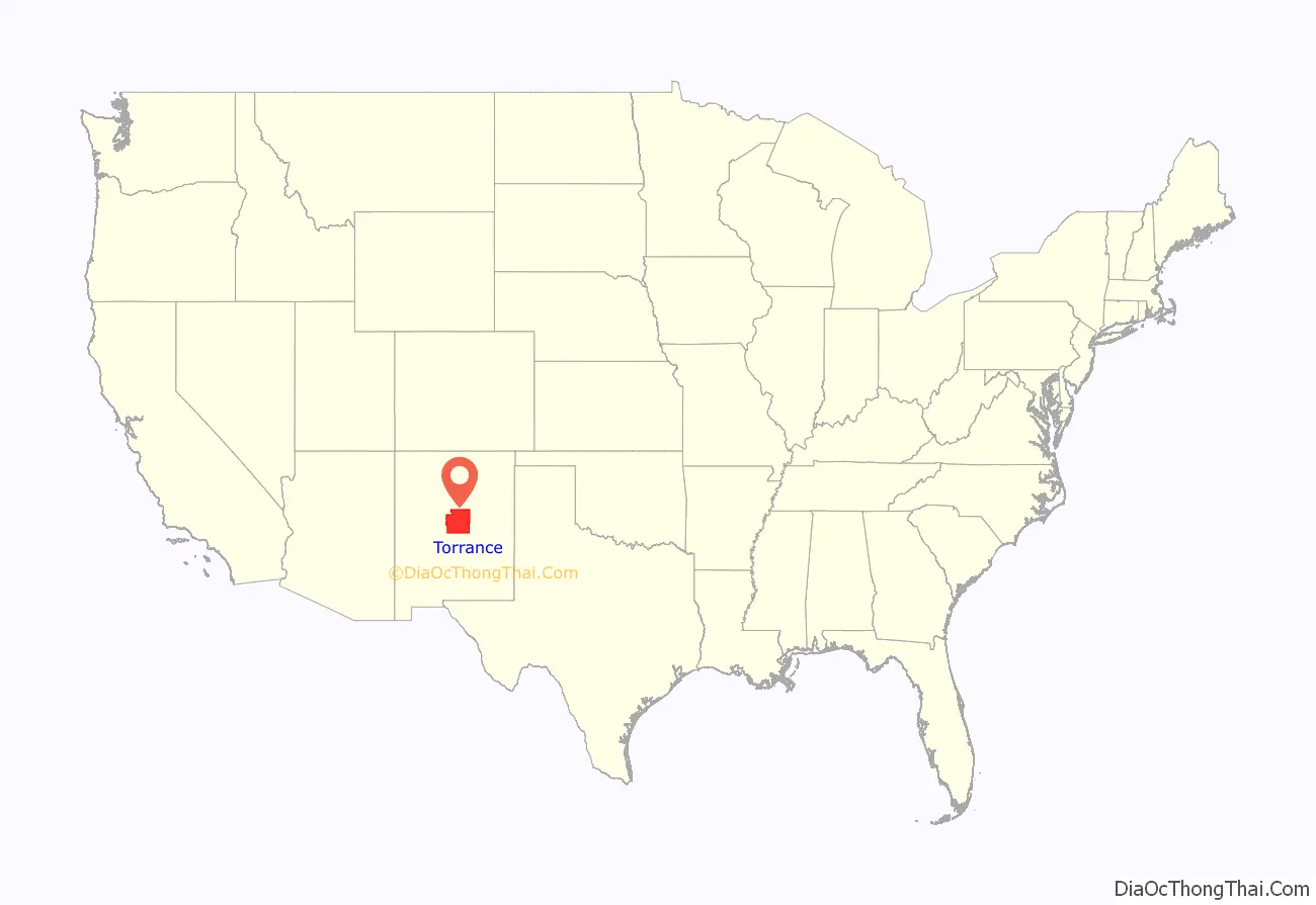
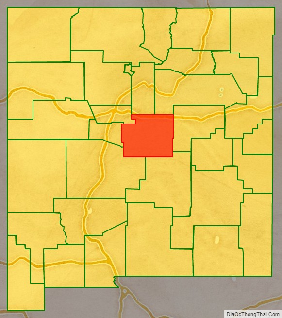
Torrance County location map. Where is Torrance County?
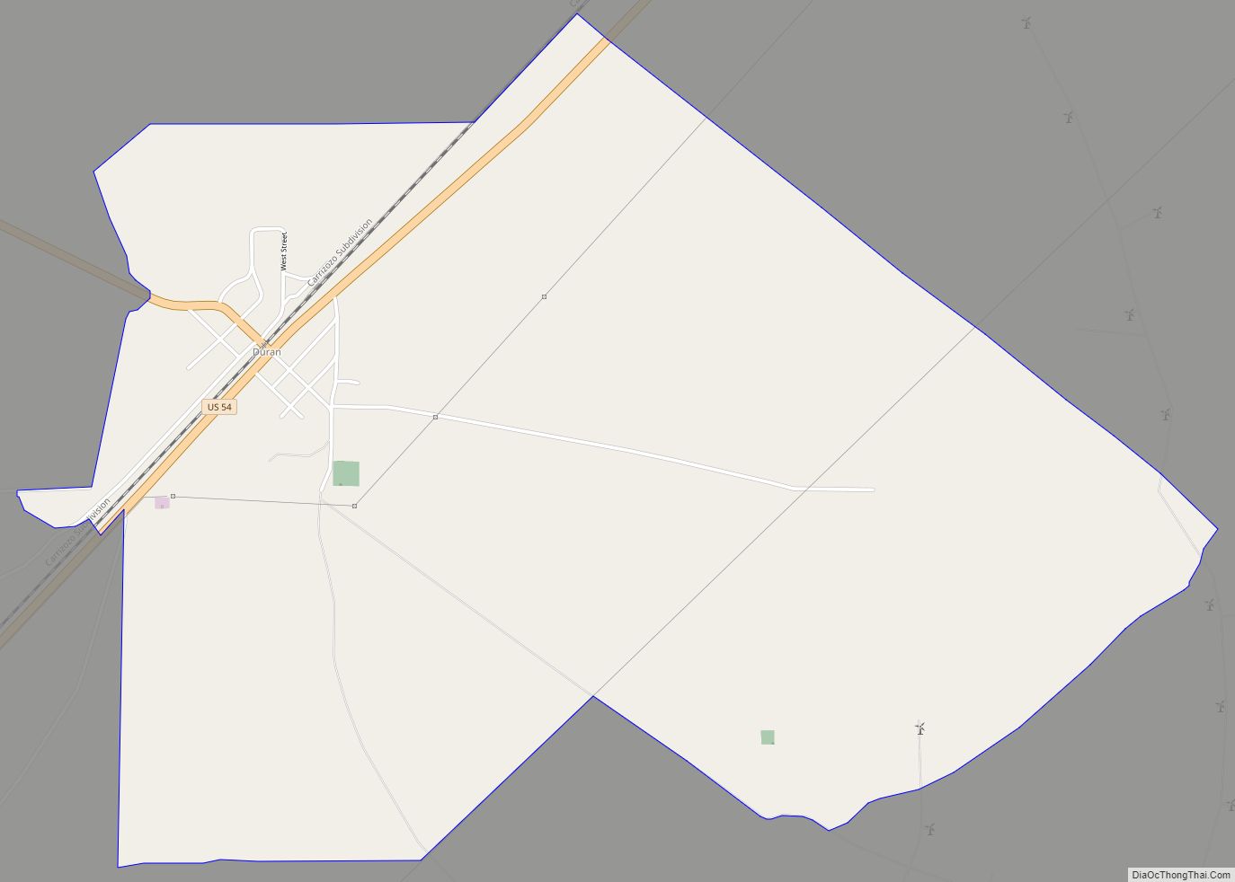
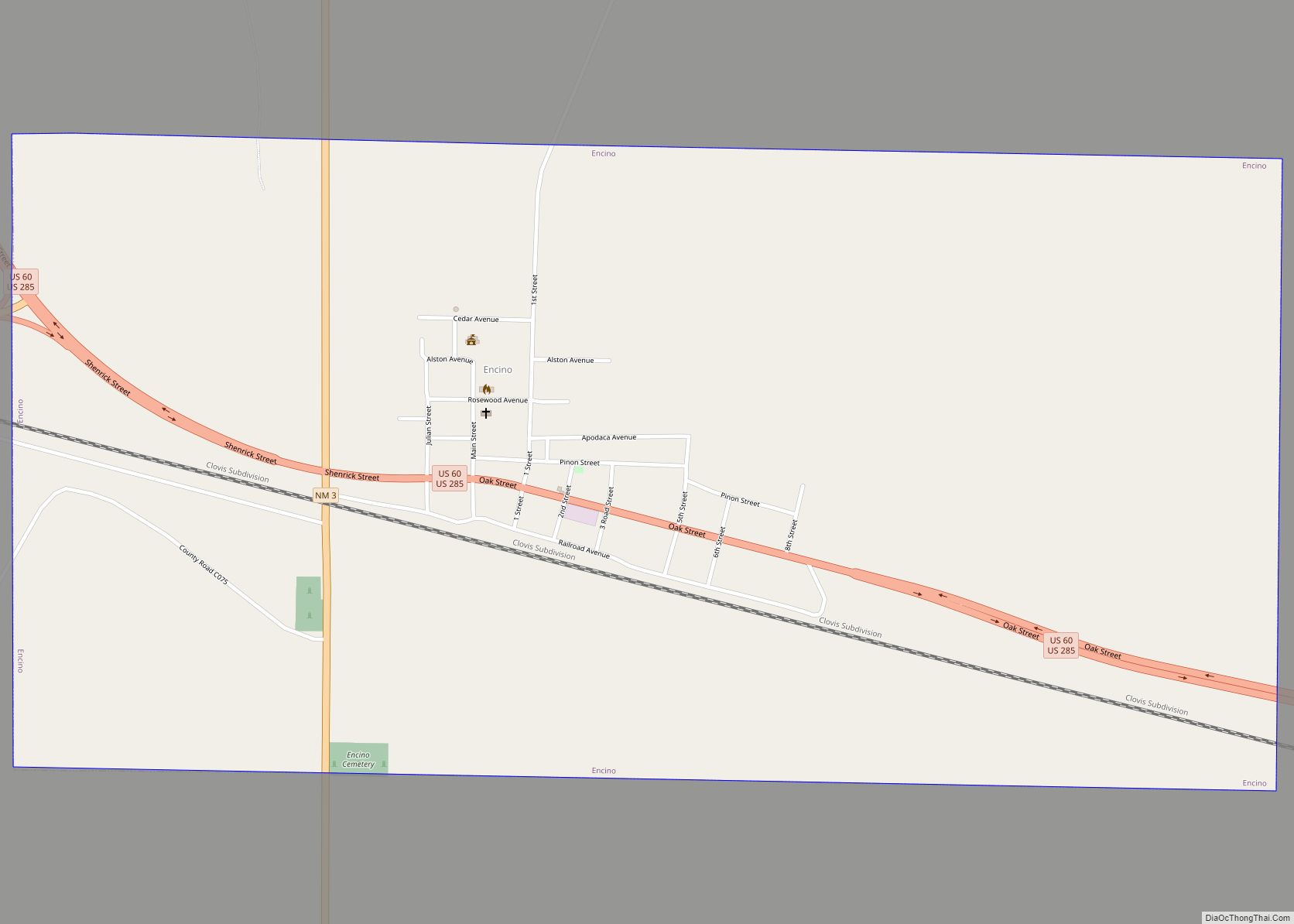
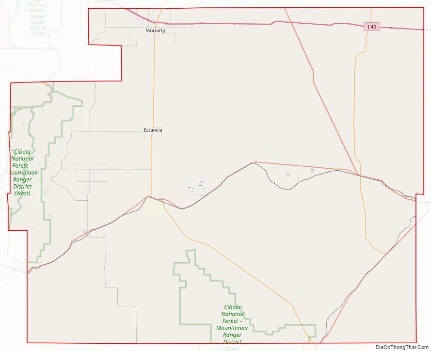
Torrance County Road Map
Geography
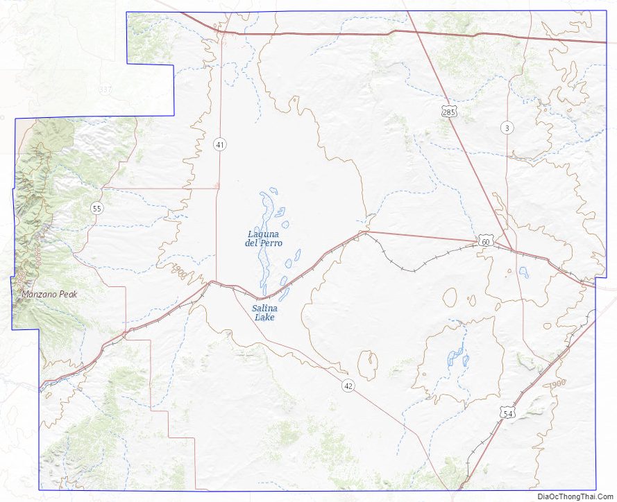
According to the U.S. Census Bureau, the county has a total area of 3,346 square miles (8,670 km), of which 0.9 square miles (2.3 km) (0.03%) is covered by water. Most of the county is gently rolling grassland ranging from 6000 to 6200 feet in elevation. The Manzano Mountains rising to 10,098 feet on the western edge of the county provide it with its only significant topographic relief. The Manzano Wilderness area includes the highest part of the mountains. The other notable geographic feature of the county is the series of playas and seasonal lakes centering on Laguna del Perro southeast of Estancia.
Adjacent counties
- Santa Fe County – north
- San Miguel County – north
- Guadalupe County – east
- Lincoln County – south
- Socorro County – south
- Valencia County – west
- Bernalillo County – northwest
National protected areas
- Cibola National Forest (part)
- Salinas Pueblo Missions National Monument (part)
Torrance County Topographic Map
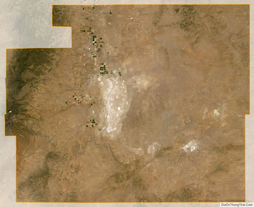
Torrance County Satellite Map
Torrance County Outline Map