Estancia is a town in Torrance County, New Mexico, United States. As of the 2020 census, the town population was 1,242. It is the county seat of Torrance County.
Estancia is part of the Albuquerque Metropolitan Statistical Area.
| Name: | Estancia town |
|---|---|
| LSAD Code: | 43 |
| LSAD Description: | town (suffix) |
| State: | New Mexico |
| County: | Torrance County |
| Elevation: | 6,109 ft (1,862 m) |
| Total Area: | 6.22 sq mi (16.10 km²) |
| Land Area: | 6.17 sq mi (15.98 km²) |
| Water Area: | 0.05 sq mi (0.12 km²) |
| Total Population: | 1,242 |
| Population Density: | 201.36/sq mi (77.74/km²) |
| ZIP code: | 87009, 87016 |
| Area code: | 505 |
| FIPS code: | 3525380 |
| GNISfeature ID: | 0918179 |
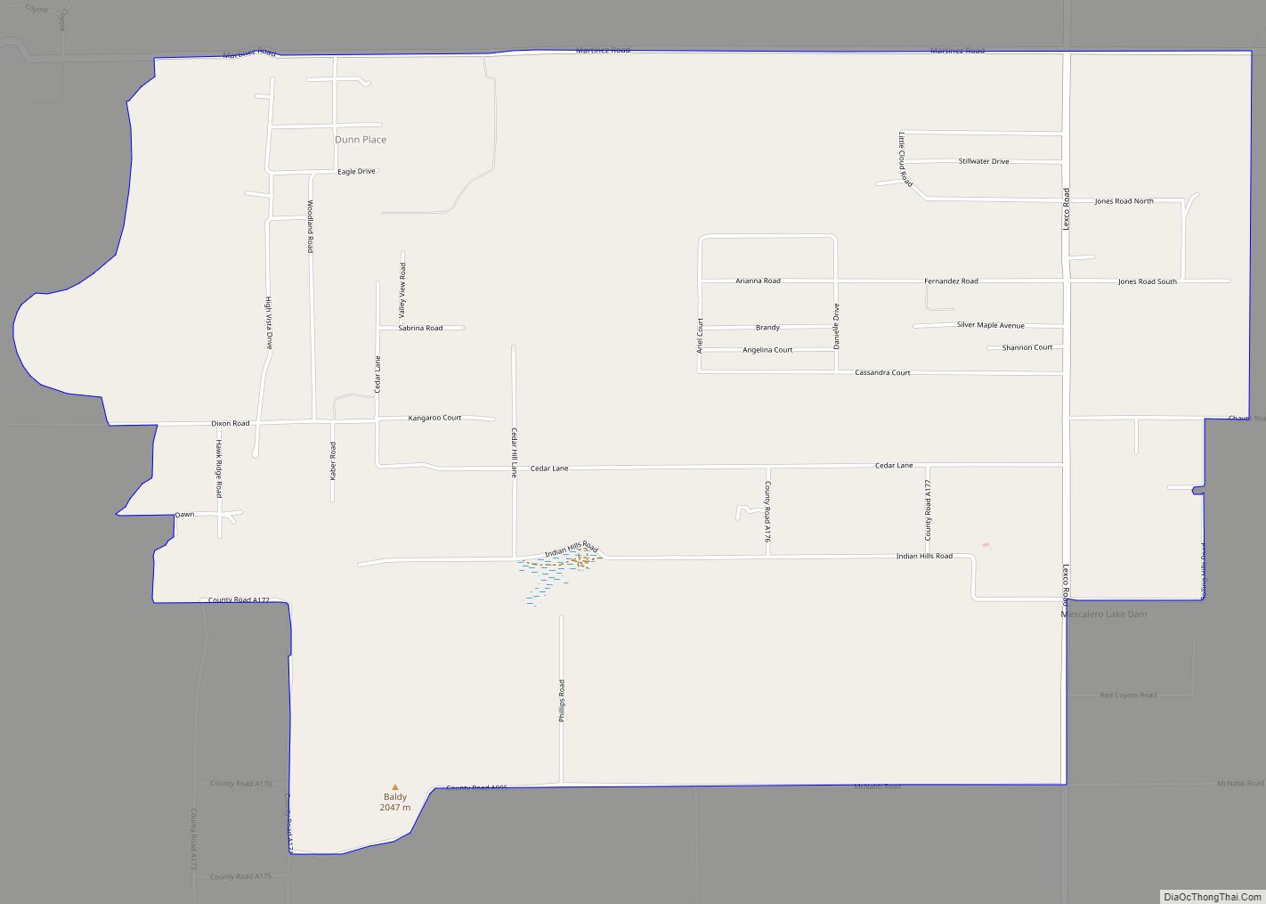
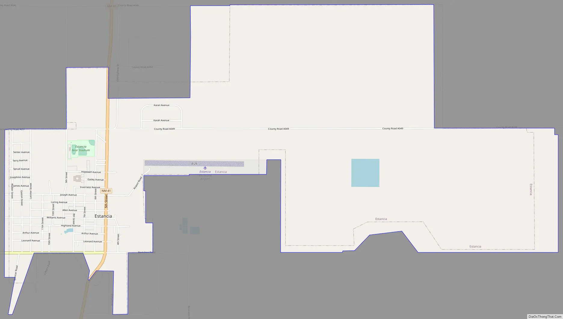
Online Interactive Map
Click on ![]() to view map in "full screen" mode.
to view map in "full screen" mode.
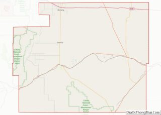
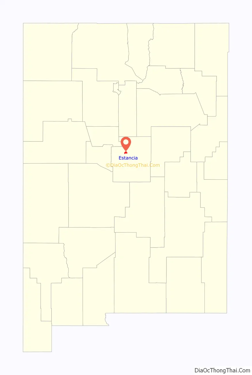
Estancia location map. Where is Estancia town?

History
Estancia is shown as a town “destroyed by enemies” (nomadic Indians) on a famous map made by Don Bernardo de Miera y Pacheco in 1779.
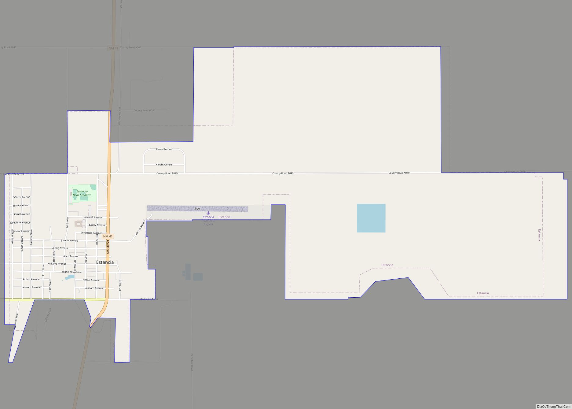
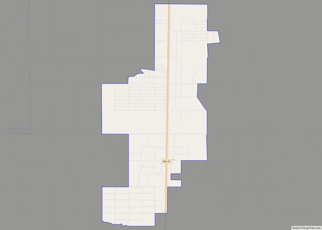
Estancia Road Map
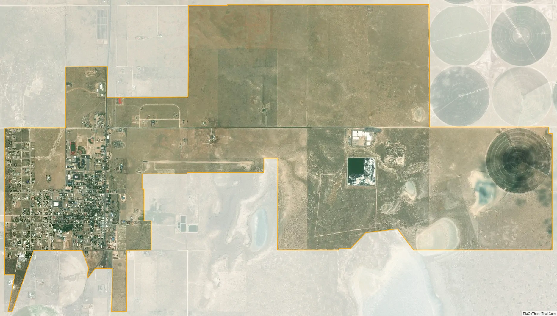
Estancia city Satellite Map
Geography
Estancia is located at 34°45′37″N 106°3′39″W / 34.76028°N 106.06083°W / 34.76028; -106.06083 (34.760380, -106.060748).
According to the United States Census Bureau, the town has a total area of 5.7 square miles (15 km), of which 5.7 square miles (15 km) is land and 0.04 square miles (0.10 km) (0.35%) is water.
See also
Map of New Mexico State and its subdivision: Map of other states:- Alabama
- Alaska
- Arizona
- Arkansas
- California
- Colorado
- Connecticut
- Delaware
- District of Columbia
- Florida
- Georgia
- Hawaii
- Idaho
- Illinois
- Indiana
- Iowa
- Kansas
- Kentucky
- Louisiana
- Maine
- Maryland
- Massachusetts
- Michigan
- Minnesota
- Mississippi
- Missouri
- Montana
- Nebraska
- Nevada
- New Hampshire
- New Jersey
- New Mexico
- New York
- North Carolina
- North Dakota
- Ohio
- Oklahoma
- Oregon
- Pennsylvania
- Rhode Island
- South Carolina
- South Dakota
- Tennessee
- Texas
- Utah
- Vermont
- Virginia
- Washington
- West Virginia
- Wisconsin
- Wyoming