Willard is a village in Torrance County, New Mexico, United States. The population was 253 at the 2010 census. It is part of the Albuquerque Metropolitan Statistical Area. The village is not experiencing the same extreme growth that towns farther north in the state are. A wind farm has recently been constructed upon the mesa just south of the town. It provides power for about 25,000 homes in Arizona.
| Name: | Willard village |
|---|---|
| LSAD Code: | 47 |
| LSAD Description: | village (suffix) |
| State: | New Mexico |
| County: | Torrance County |
| Elevation: | 6,099 ft (1,859 m) |
| Total Area: | 0.92 sq mi (2.39 km²) |
| Land Area: | 0.92 sq mi (2.39 km²) |
| Water Area: | 0.00 sq mi (0.00 km²) |
| Total Population: | 201 |
| Population Density: | 218.00/sq mi (84.14/km²) |
| ZIP code: | 87063 |
| Area code: | 505 |
| FIPS code: | 3585160 |
| GNISfeature ID: | 0896618 |
Online Interactive Map
Click on ![]() to view map in "full screen" mode.
to view map in "full screen" mode.
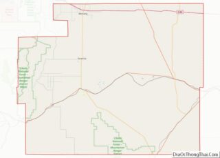
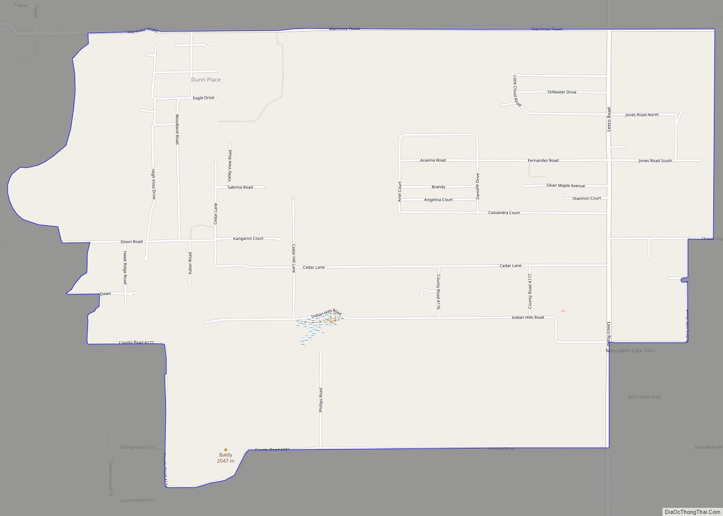
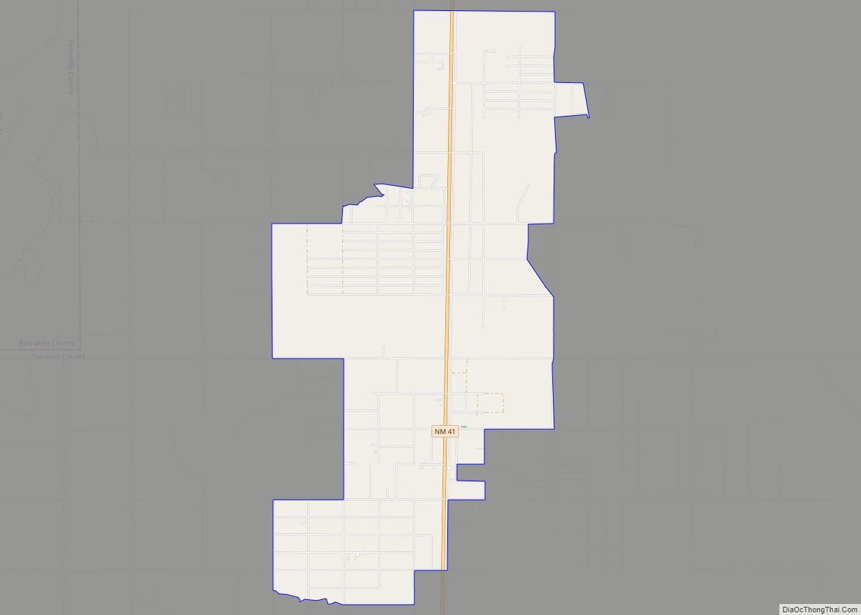
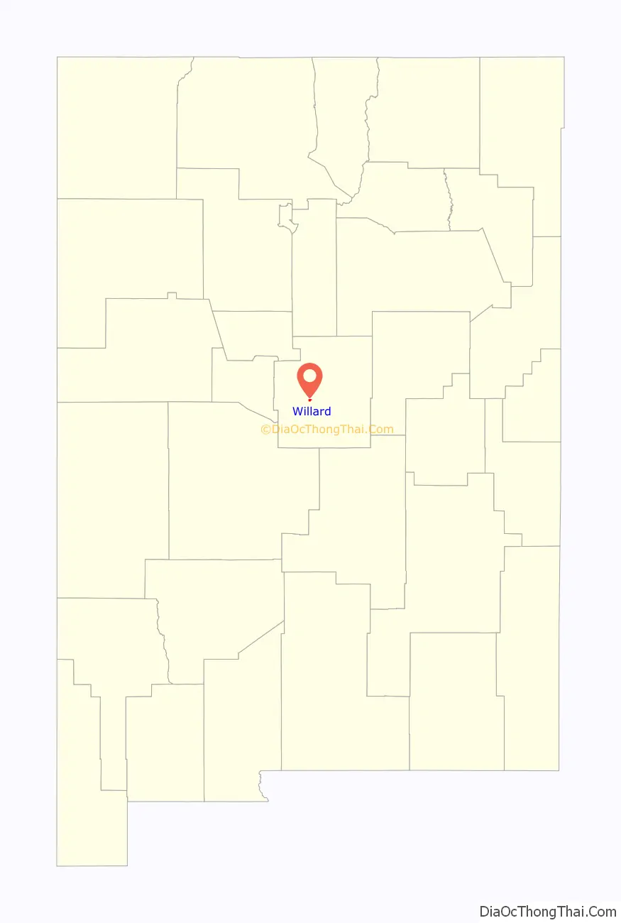
Willard location map. Where is Willard village?

Willard Road Map
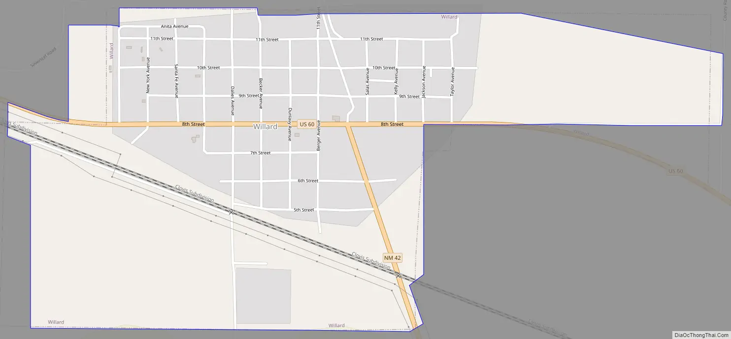
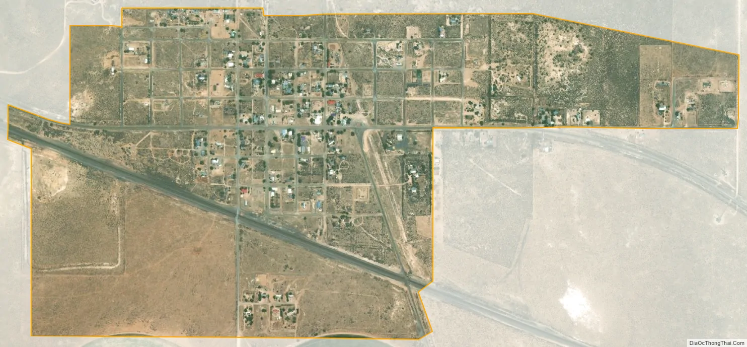
Willard city Satellite Map
Geography
Willard is located at 34°35′47″N 106°1′59″W / 34.59639°N 106.03306°W / 34.59639; -106.03306 (34.596497, -106.033108).
According to the United States Census Bureau, the village has a total area of 0.8 square miles (2.1 km), all land.
See also
Map of New Mexico State and its subdivision: Map of other states:- Alabama
- Alaska
- Arizona
- Arkansas
- California
- Colorado
- Connecticut
- Delaware
- District of Columbia
- Florida
- Georgia
- Hawaii
- Idaho
- Illinois
- Indiana
- Iowa
- Kansas
- Kentucky
- Louisiana
- Maine
- Maryland
- Massachusetts
- Michigan
- Minnesota
- Mississippi
- Missouri
- Montana
- Nebraska
- Nevada
- New Hampshire
- New Jersey
- New Mexico
- New York
- North Carolina
- North Dakota
- Ohio
- Oklahoma
- Oregon
- Pennsylvania
- Rhode Island
- South Carolina
- South Dakota
- Tennessee
- Texas
- Utah
- Vermont
- Virginia
- Washington
- West Virginia
- Wisconsin
- Wyoming