| Name: | Wabash County |
|---|---|
| FIPS code: | 17-185 |
| State: | Illinois |
| Founded: | 1824 |
| Named for: | Wabash River |
| Seat: | Mount Carmel |
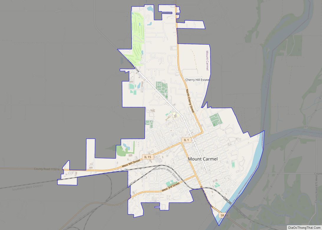
| Largest city: | Mount Carmel |
| Total Area: | 228 sq mi (590 km²) |
| Land Area: | 223 sq mi (580 km²) |
| Total Population: | 11,361 |
| Population Density: | 50/sq mi (19/km²) |
| Time zone: | UTC−6 (Central) |
| Summer Time Zone (DST): | UTC−5 (CDT) |
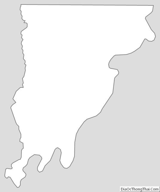
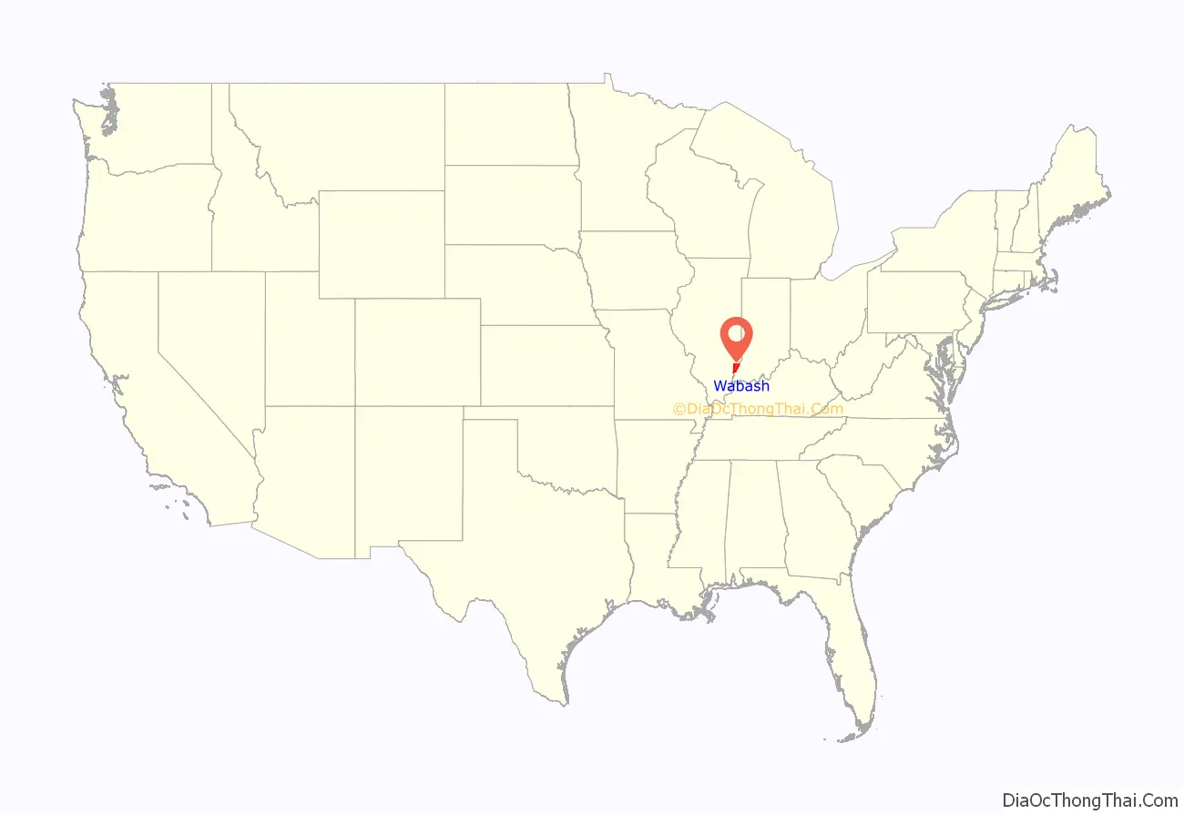
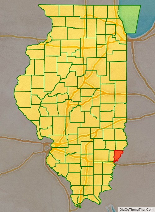
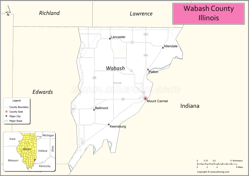
Wabash County location map. Where is Wabash County?
History
Wabash County was formed in 1824 out of Edwards County. This averted t an armed confrontation between the militias of Albion and Mt. Carmel after the county seat was moved from a town near the current city of Mount Carmel to Albion.
The county is named for the Wabash River, which forms its eastern and southern borders. The name “Wabash” is an English spelling of the French name for the river, “Ouabache.”‘ French traders named the river after the Miami Indian word for the river, “Wabashike,” (pronounced “Wah-bah-she-keh”), the word for “pure white.” Much of the river bottom is white limestone, now obscured by mud.
Wabash County at the time of its creation in 1824
A 329 acres (1.33 km) remnant of the county’s original Eastern Woodlands ecosystem can be found in the Forest of the Wabash, located within the county’s Beall Woods State Park.
In the 1920s a notable hotel and resort operated in Wabash County nearby the Grand Rapids Dam on the Wabash River. Named the Grand Rapids Hotel, it was owned by Frederick Hinde Zimmerman. During the hotel’s nine-year existence, it catered to individuals from all over the United States. In July 2011, John Matthew Nolan published a detailed history of the Grand Rapids Hotel.
Earthquake
On the morning of April 18, 2008, at 4:37am local time, one of the largest earthquakes in Illinois history hit the area. The epicenter of this tremor was in Lick Prairie Township, near the middle of the county. The tremor was felt for a wide radius, more than 400 miles away in Nebraska.
Wabash County Road Map
Geography
According to the U.S. Census Bureau, the county has a total area of 228 square miles (590 km), of which 223 square miles (580 km) is land and 4.3 square miles (11 km) (1.9%) is water. It is the fifth-smallest county in Illinois by area.
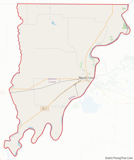
Two rivers, the Wabash River to the east and the Little Wabash River to the west join at the southern tip of the county; the Little Wabash separating the two counties, Wabash County from the Edwards County.
Climate and weather
In recent years, average temperatures in the county seat of Mount Carmel have ranged from a low of 21 °F (−6 °C) in January to a high of 89 °F (32 °C) in July, although a record low of −19 °F (−28 °C) was recorded in January 1985 and a record high of 102 °F (39 °C) was recorded in July 1988. Average monthly precipitation ranged from 2.73 inches (69 mm) in February to 5.12 inches (130 mm) in May.
Major highways
- Illinois Route 1
- Illinois Route 15
Adjacent counties
- Lawrence County – north
- Knox County, Indiana – northeast
- Gibson County, Indiana – south and mostly east
- Edwards County – west
- Richland County – northwest
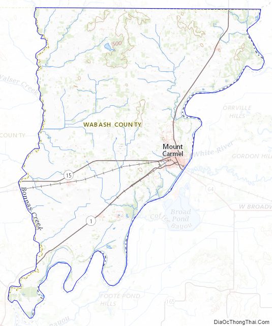
Wabash County Topographic Map
Wabash County Satellite Map
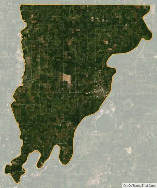
Wabash County Outline Map