Wabasha County is a county in the U.S. state of Minnesota. As of the 2020 census, the population was 21,387. Its county seat is Wabasha.
Wabasha County is part of the Rochester Metropolitan Statistical Area.
| Name: | Wabasha County |
|---|---|
| FIPS code: | 27-157 |
| State: | Minnesota |
| Founded: | October 27, 1849 |
| Named for: | Wabasha (city) |
| Seat: | Wabasha |
| Largest city: | Lake City |
| Total Area: | 550 sq mi (1,400 km²) |
| Land Area: | 523 sq mi (1,350 km²) |
| Total Population: | 21,387 |
| Population Density: | 40.9/sq mi (15.8/km²) |
| Time zone: | UTC−6 (Central) |
| Summer Time Zone (DST): | UTC−5 (CDT) |
| Website: | www.co.wabasha.mn.us |
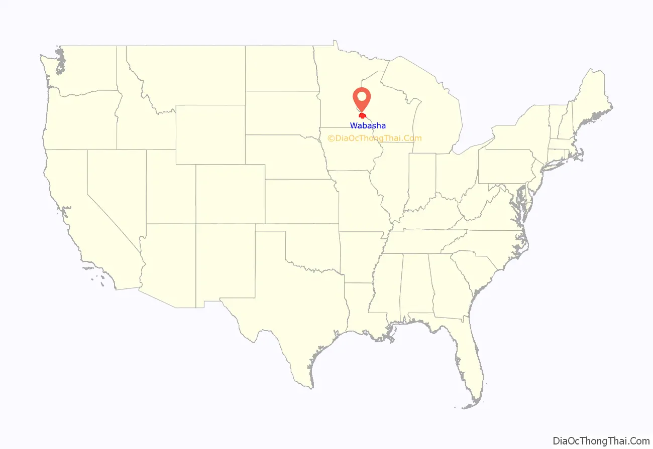
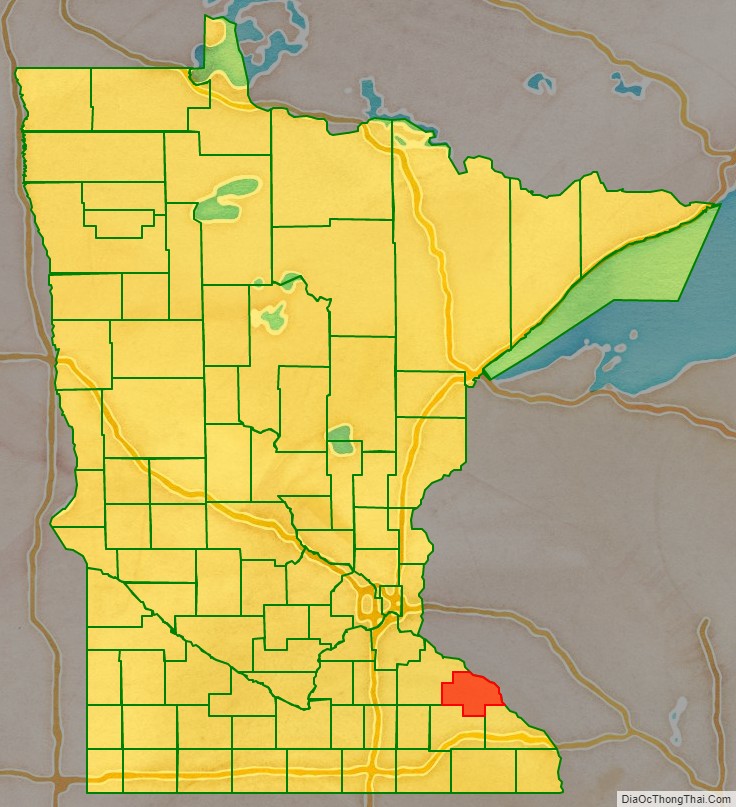
Wabasha County location map. Where is Wabasha County?
History
The recently organized Minnesota Territory legislature created Wabasha County on October 27, 1849, one of nine original counties in the territory. An area on the Mississippi River’s west bank, originally called Cratte’s Landing, had grown into a town named Wabasha, then a city, and when the legislature created the county west of the river around this city, Wabasha was designated the county seat. The city had been named for three successive chiefs of Mississippi bands of Dakota Indians.
Wabasha County’s area was reduced in 1853 when sections were partitioned off to create Fillmore, Goodhue, and Rice counties. More area was partitioned off in 1854 to create Winona County, and another part in 1855 to create Olmsted County. The county boundaries have remained the same since 1855.
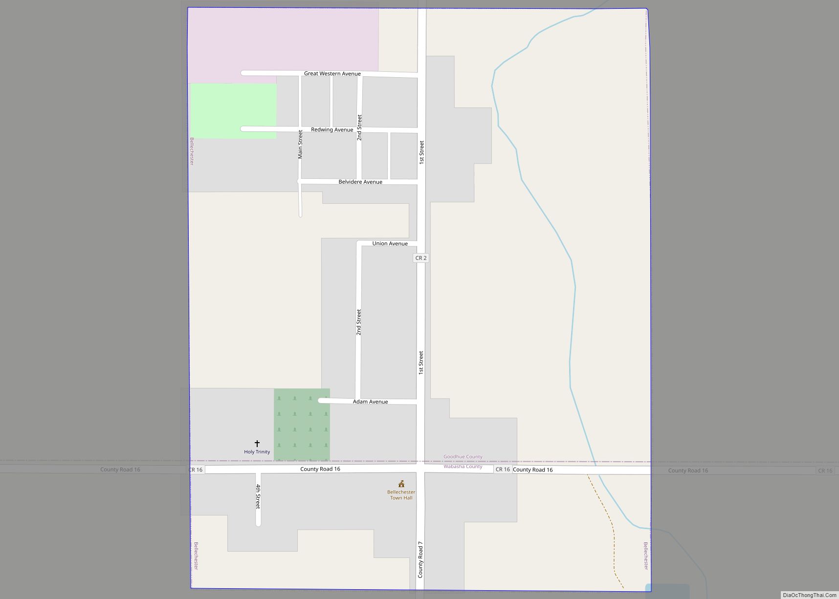
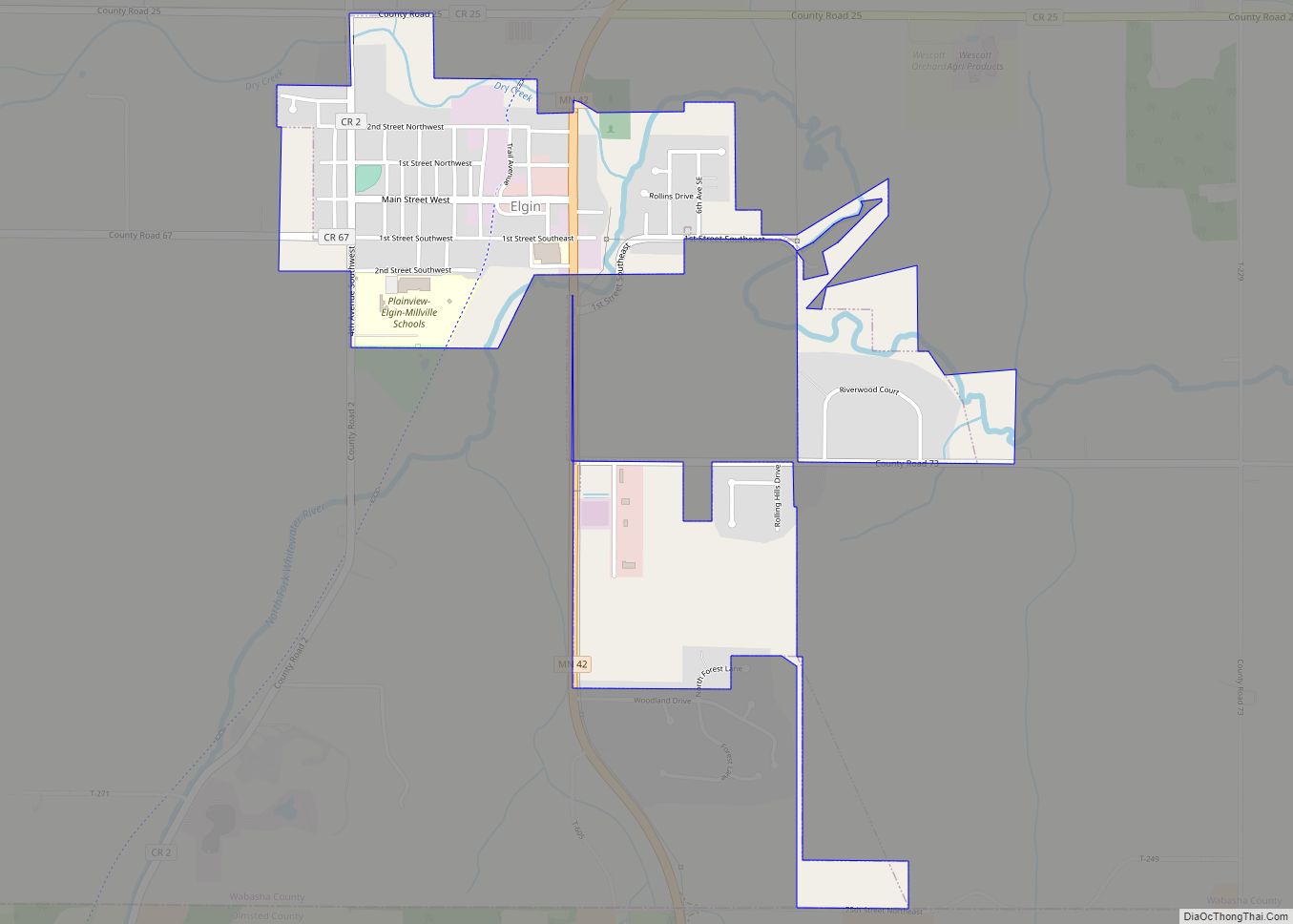
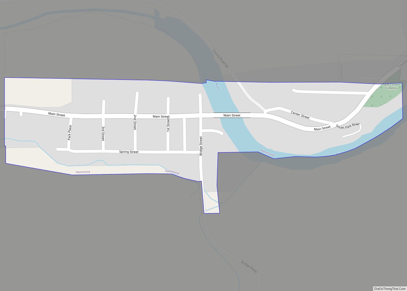
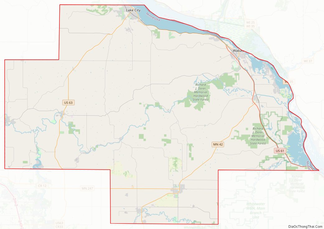
Wabasha County Road Map
Geography
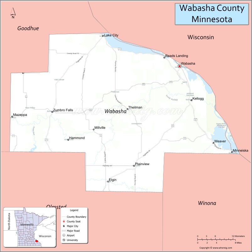
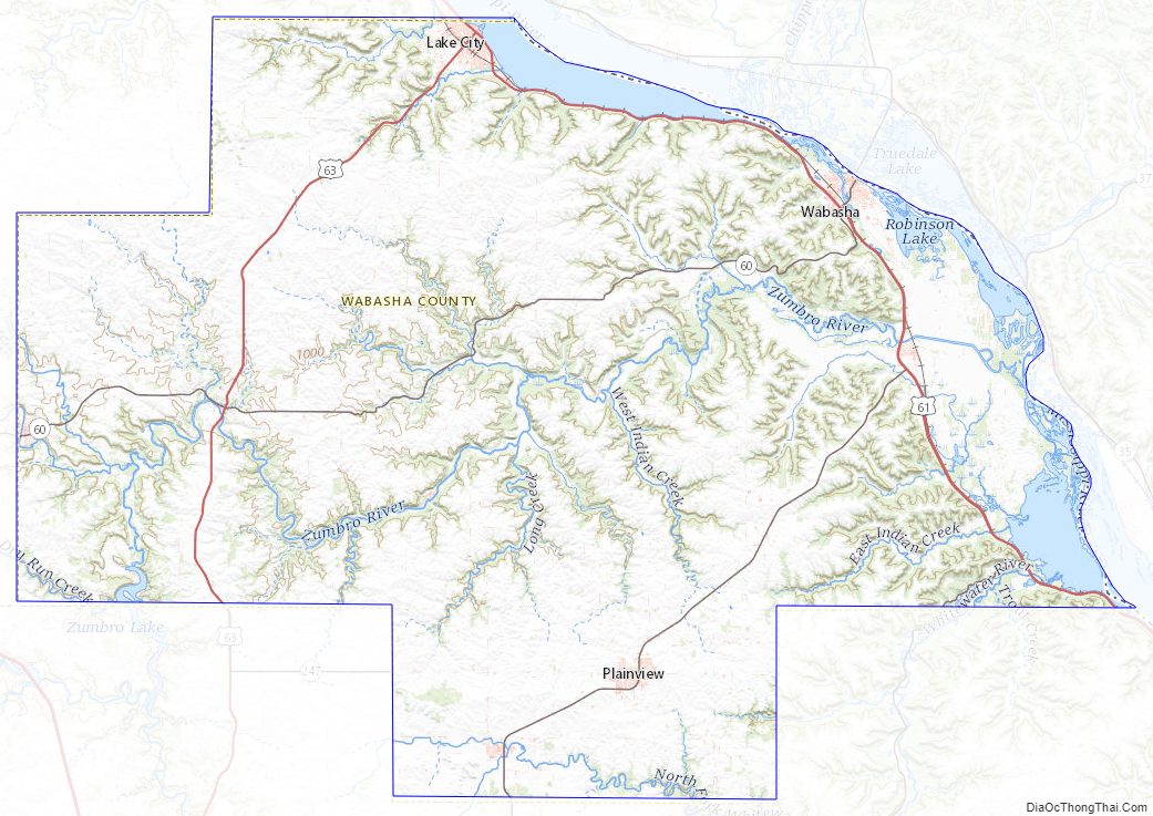
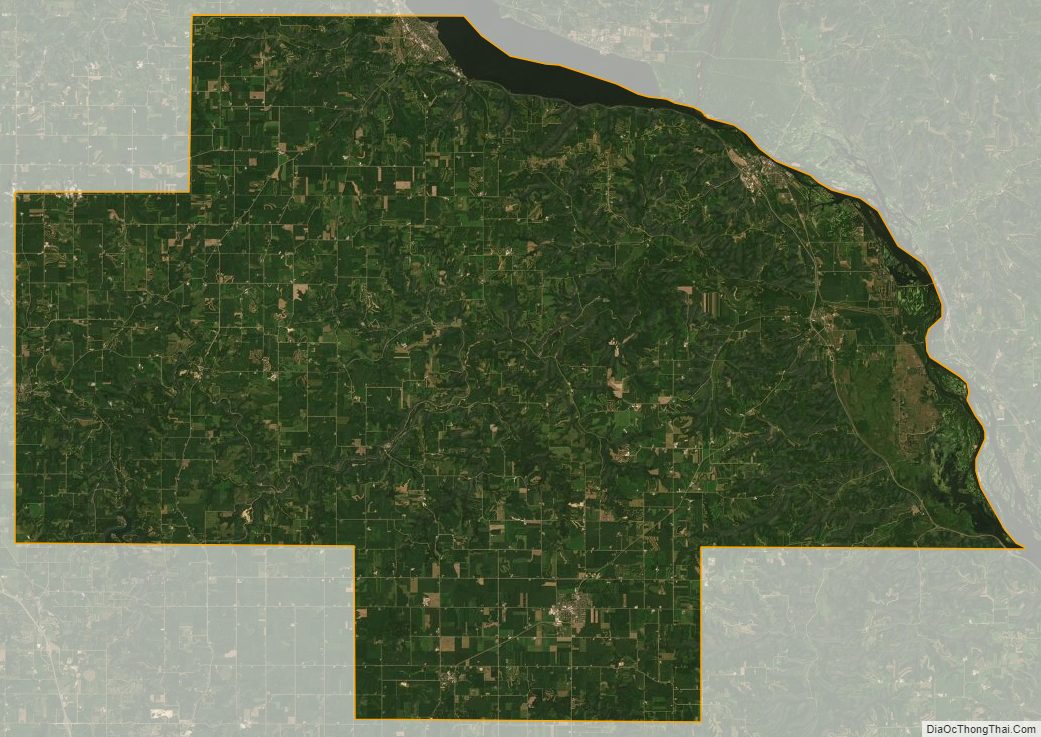
Wabasha County lies on Minnesota’s border with Wisconsin (across the Mississippi River. The Mississippi flows southeast along the county’s eastern line. The North Fork of the Whitewater River flows east through the southern part of the county, then discharges into the Whitewater in Olmsted County. The combined Whitewater then enters the southeastern part of Wabasha County, flowing northeast to its discharge point into the Mississippi. The Zumbro River flows east-northeast through the county to its discharge point into the Mississippi. East Indian Creek and Miller Creek drain the northern part of the county into the Mississippi. The county terrain consists of low rolling hills, considerably rutted by drainages, with all available area devoted to agriculture. The terrain slopes to the east and south, with its highest point on its upper west border at 1,191′ (363m) ASL. The county has a total area of 550 square miles (1,400 km), of which 523 square miles (1,350 km) is land and 27 square miles (70 km) (4.8%) is water. Wabasha is one of 17 Minnesota counties with more savanna soils than either forest or prairie soils.
Major highways
- U.S. Highway 61
- U.S. Highway 63
- Minnesota State Highway 42
- Minnesota State Highway 60
- Minnesota State Highway 74
- Minnesota State Highway 247
Adjacent counties
- Pepin County, Wisconsin – northeast
- Buffalo County, Wisconsin – east
- Winona County – southeast
- Olmsted County – south
- Goodhue County – west, northwest
Protected areas
- Carley State Park
- Kellogg-Weaver Dunes Scientific and Natural Area
- Mazeppa State Wildlife Management Area
- McCarthy Lake State Wildlife Management Area
- Miller Creek Aquatic Management Area
- Zumbro Falls Woods Scientific and Natural Area
Lakes
- Lake Pepin (part)
- Robinson Lake
- Zumbro Lake (part)
- These lakes are located within the Upper Mississippi River National Wildlife and Fish Refuge
- Cross Lake
- Half Moon Lake
- Maloney Lake
- McCarthy Lake
- Peterson Lake
- Robinson Lake
Wabasha County Topographic Map
Wabasha County Satellite Map
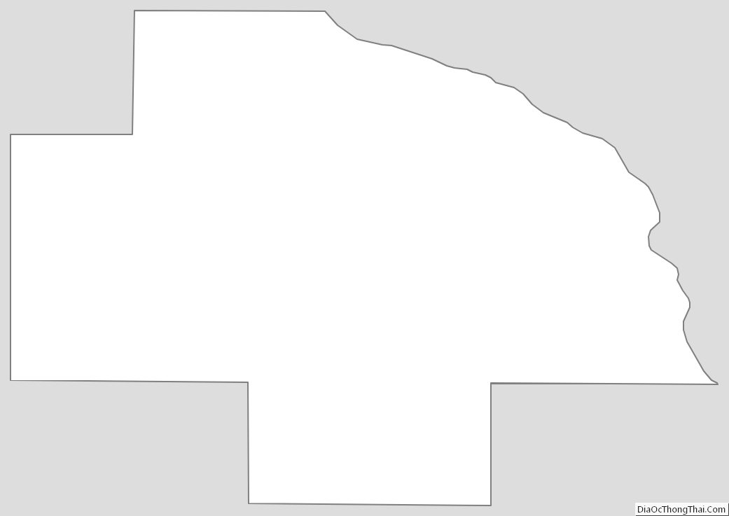
Wabasha County Outline Map