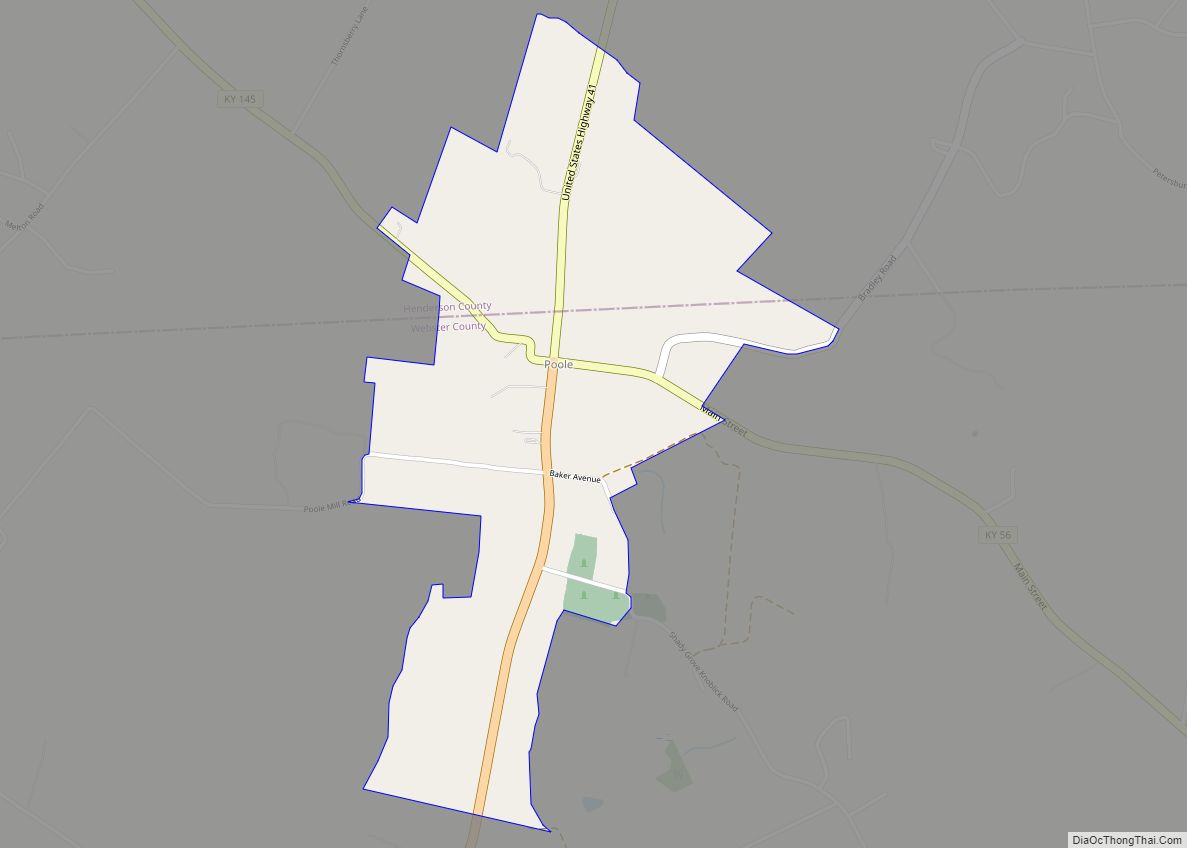
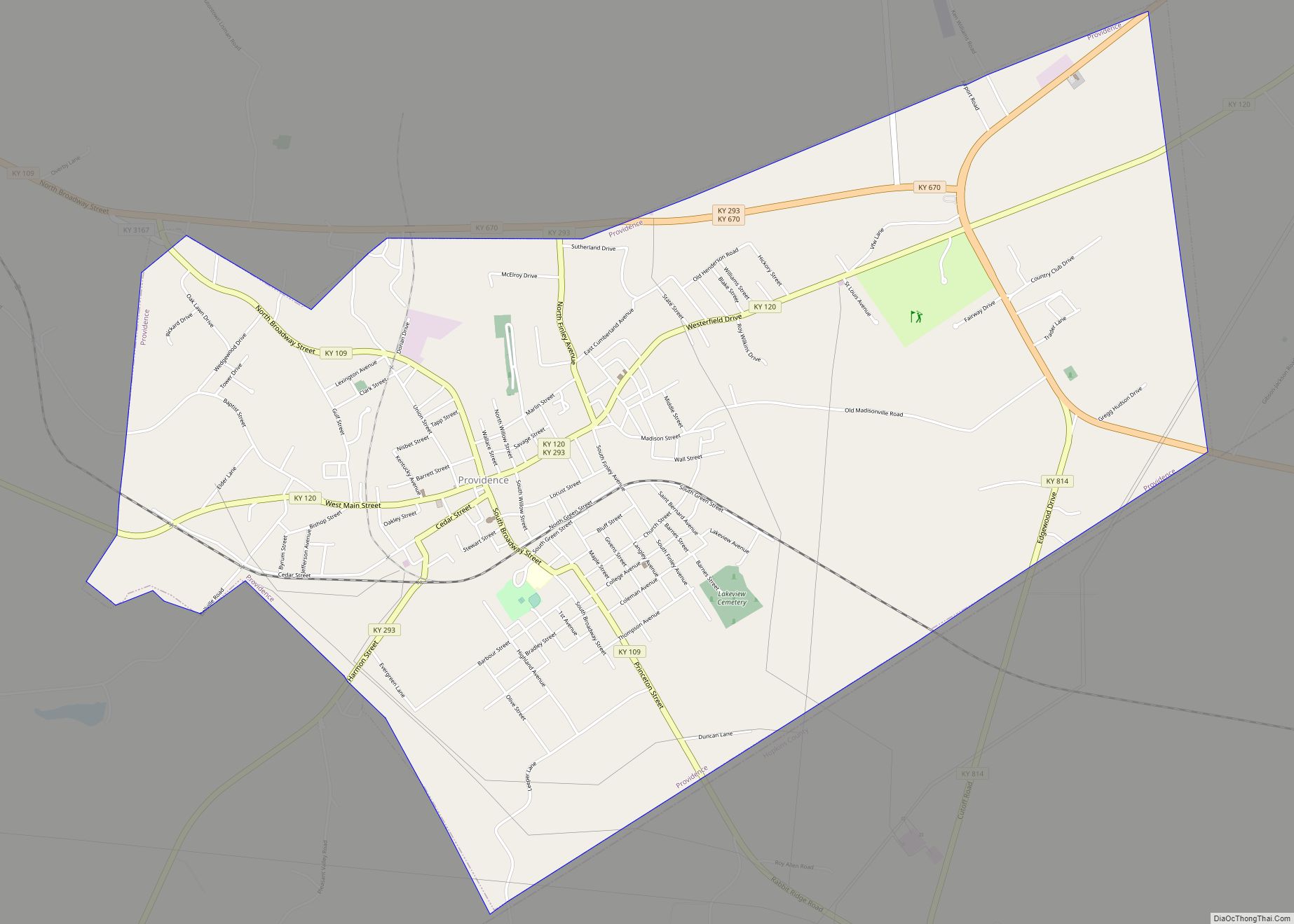
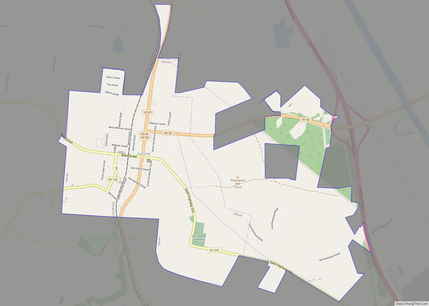
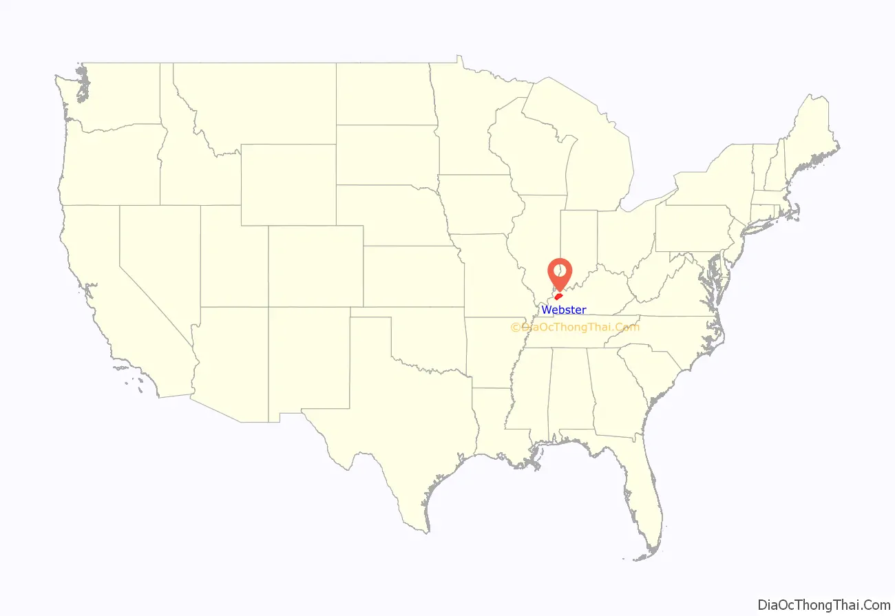
Webster County is a county located in the U.S. state of Kentucky. As of the 2020 census, the population was 13,017. Its county seat is Dixon. Its largest city is Providence. It is the southernmost county in the Evansville, IN–KY Metropolitan Statistical Area. The county was formed in 1860 from parts of Henderson, Hopkins, and Union Counties and named for American statesman Daniel Webster (1782-1852). It was mainly pro-Confederate during the American Civil War and was the site of several skirmishes and some guerrilla warfare. Since 2018 it has been a moist county, with Providence and Sebree voting to allow alcohol sales, and Clay doing so in 2022.
| Name: | Webster County |
|---|---|
| FIPS code: | 21-233 |
| State: | Kentucky |
| Founded: | 1860 |
| Named for: | Daniel Webster |
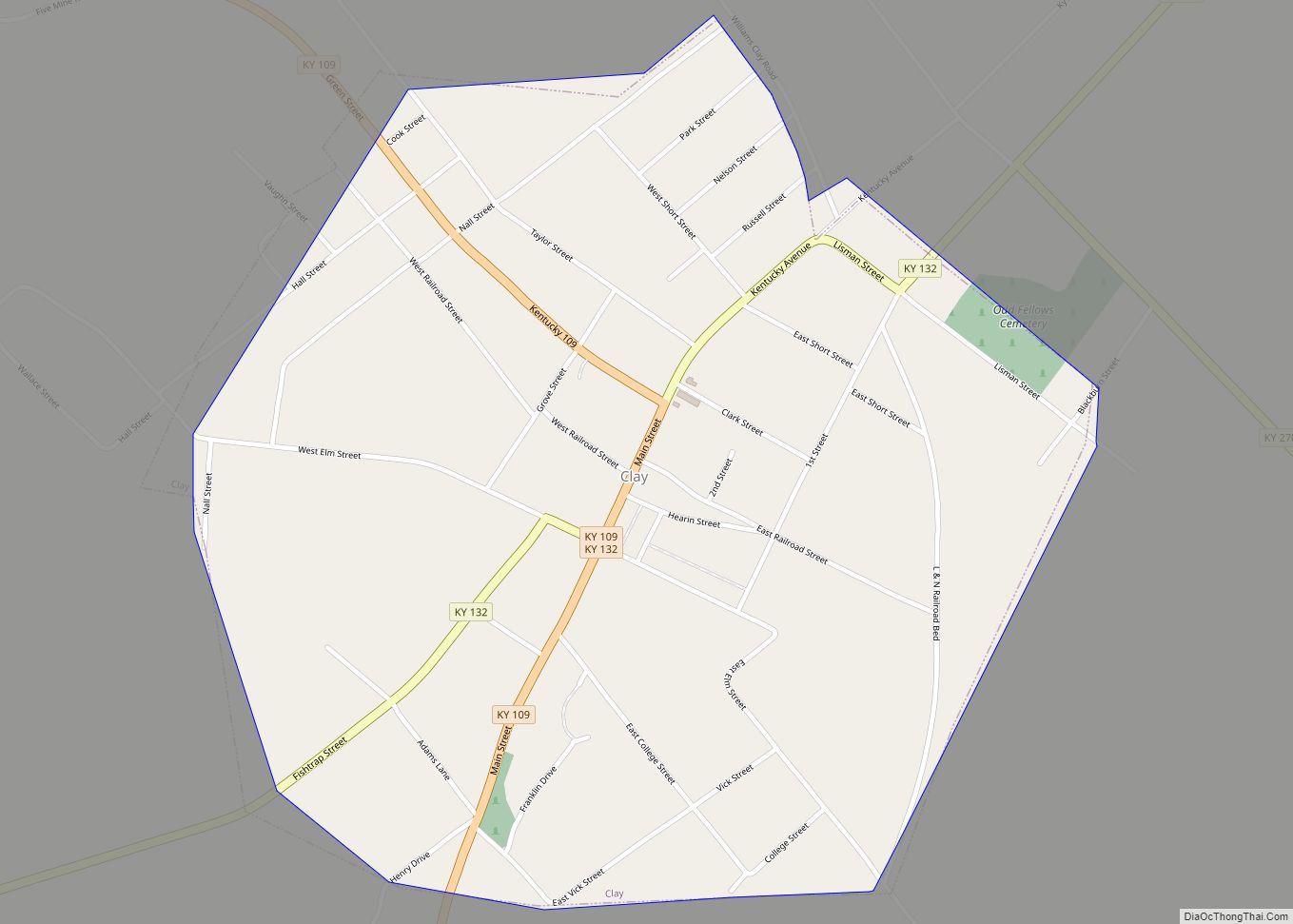
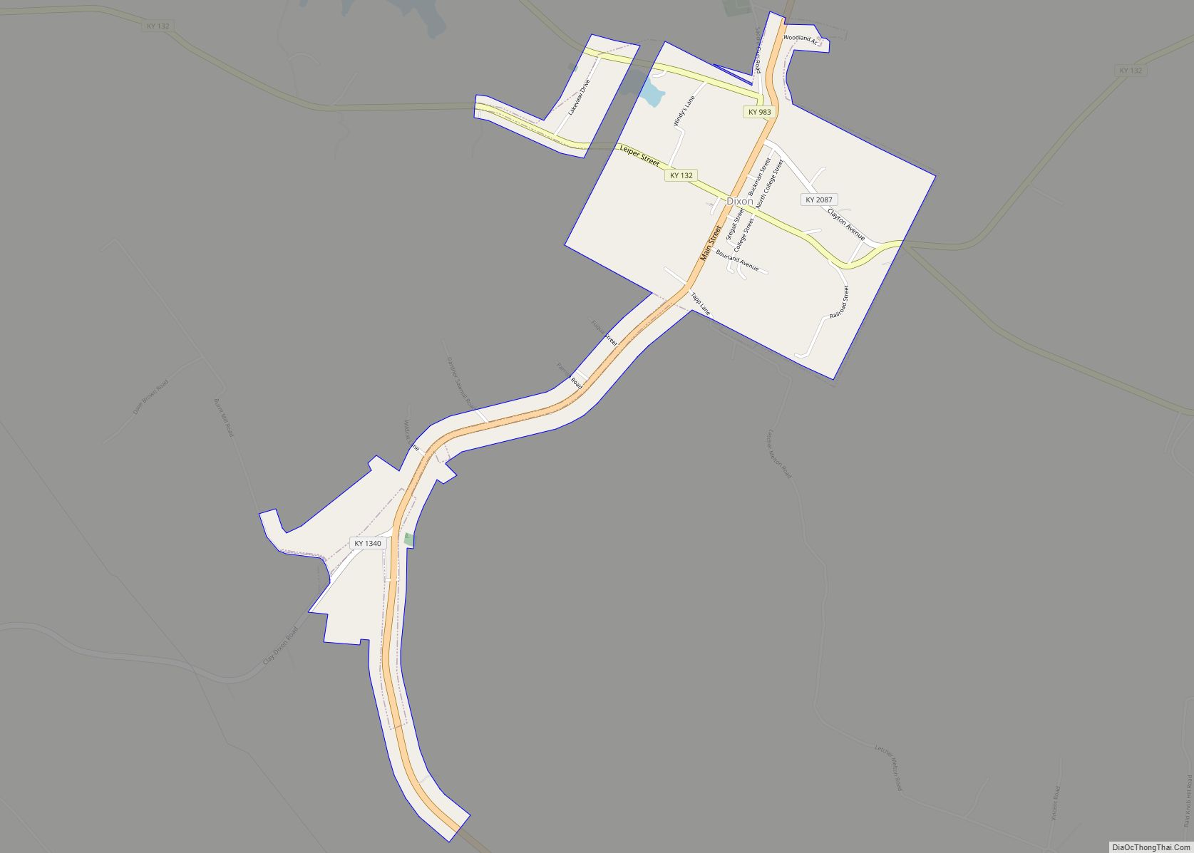
| Seat: | Dixon |
| Largest city: | Providence |
| Total Area: | 336 sq mi (870 km²) |
| Land Area: | 332 sq mi (860 km²) |
| Total Population: | 13,017 |
| Population Density: | 39/sq mi (15/km²) |
| Time zone: | UTC−6 (Central) |
| Summer Time Zone (DST): | UTC−5 (CDT) |
| Website: | www.webstercountyky.com |
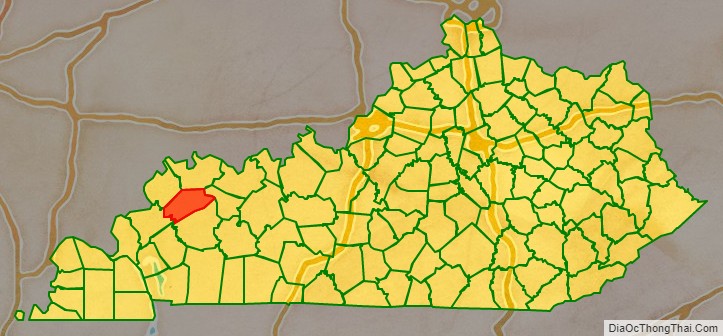
Webster County location map. Where is Webster County?
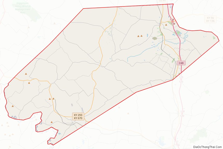
Webster County Road Map
Geography
According to the U.S. Census Bureau, the county has a total area of 336 square miles (870 km), of which 332 square miles (860 km) is land and 3.7 square miles (9.6 km) (1.1%) is water. Webster County is part of the Western Coal Field region of Kentucky.
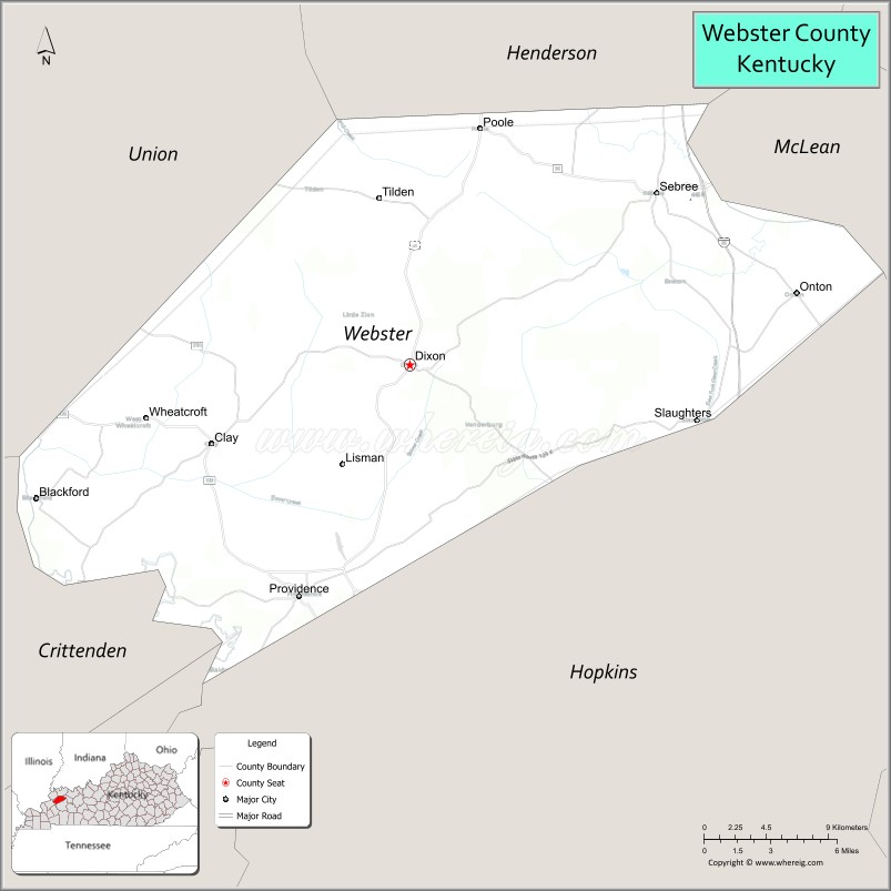
Adjacent counties
- Henderson County (north)
- McLean County (northeast)
- Hopkins County (southeast)
- Caldwell County (south)
- Crittenden County (southwest)
- Union County (northwest)
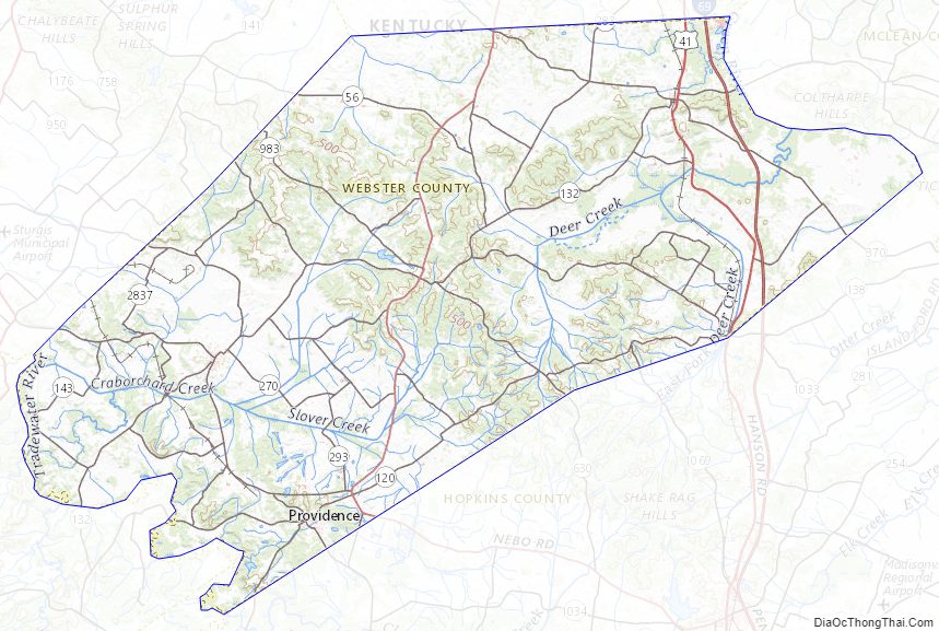
Webster County Topographic Map
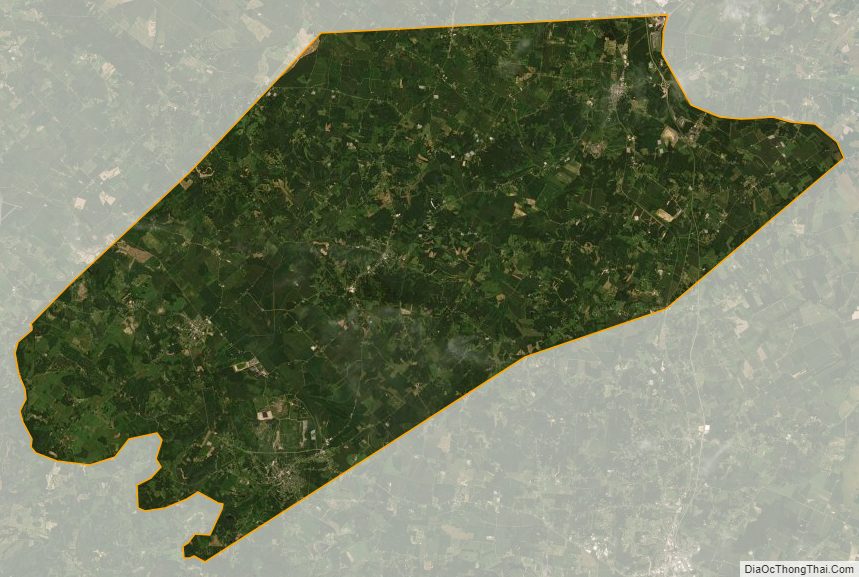
Webster County Satellite Map
Webster County Outline Map