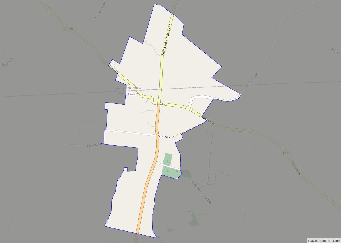
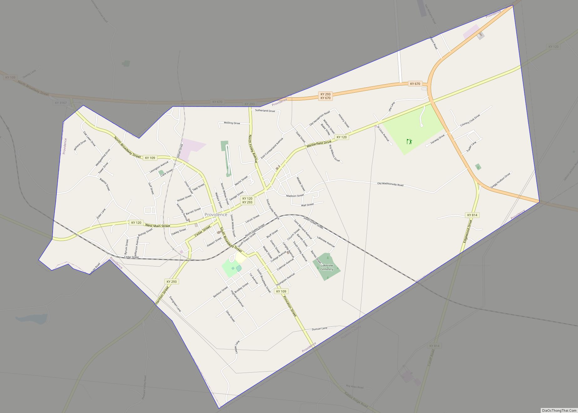
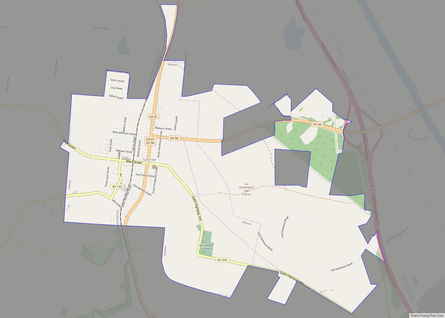
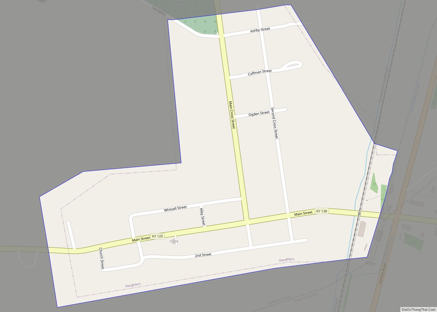
Providence is a home rule-class city in Webster County, Kentucky, in the United States. The population was 3,193 at the time of the 2010 United States Census, making the most populous community in the county.
| Name: | Providence city |
|---|---|
| LSAD Code: | 25 |
| LSAD Description: | city (suffix) |
| State: | Kentucky |
| County: | Webster County |
| Incorporated: | 1860 |
| Elevation: | 440 ft (130 m) |
| Total Area: | 6.08 sq mi (15.74 km²) |
| Land Area: | 6.03 sq mi (15.61 km²) |
| Water Area: | 0.05 sq mi (0.13 km²) |
| Total Population: | 2,892 |
| Population Density: | 479.76/sq mi (185.23/km²) |
| ZIP code: | 42450 |
| Area code: | 270 & 364 |
| FIPS code: | 2163372 |
| GNISfeature ID: | 0501368 |
| Website: | www.webstercountyky.com/providence.php |
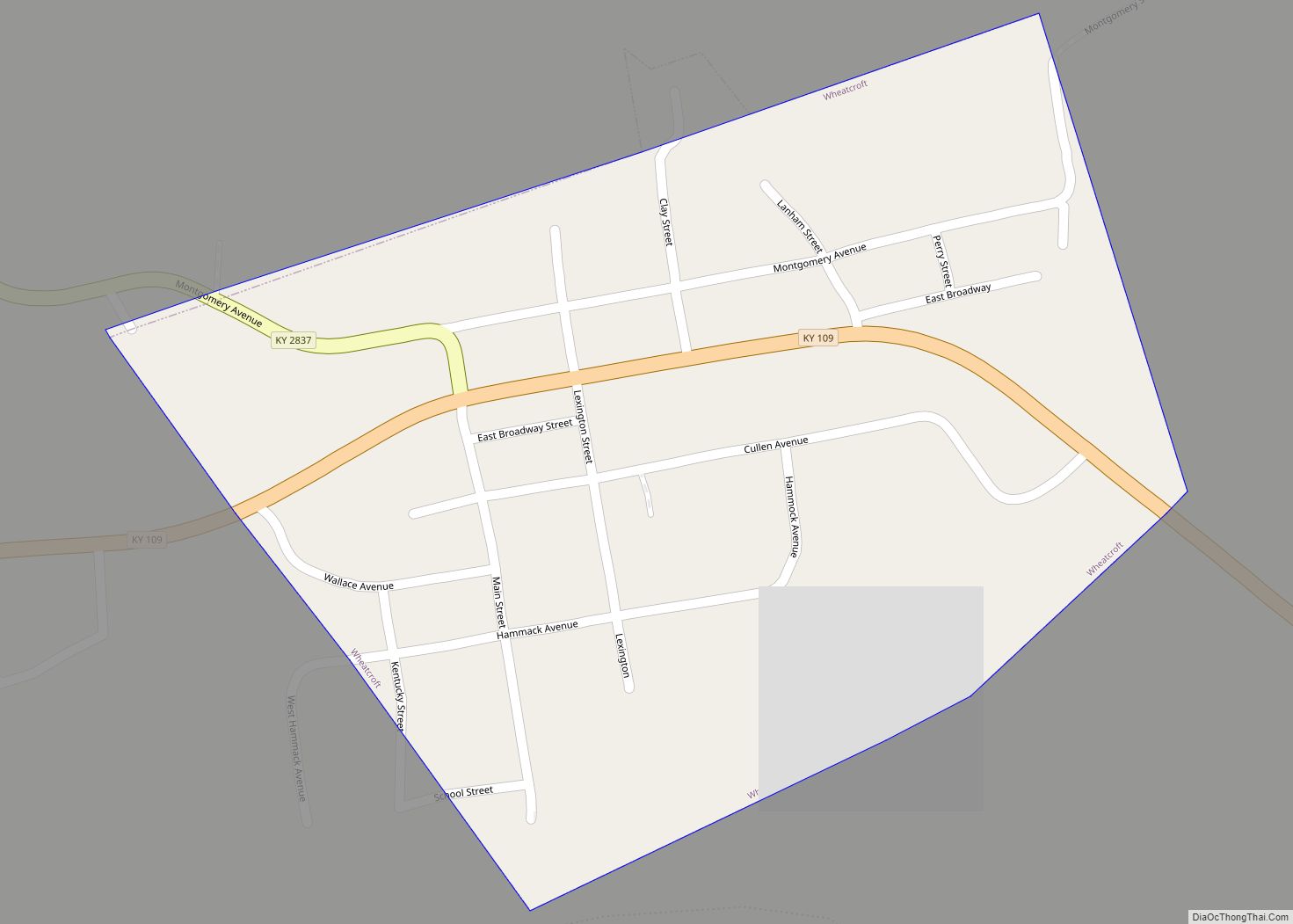
Online Interactive Map
Click on ![]() to view map in "full screen" mode.
to view map in "full screen" mode.
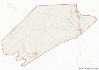
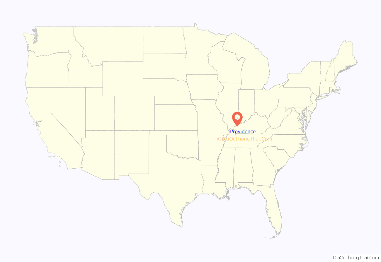
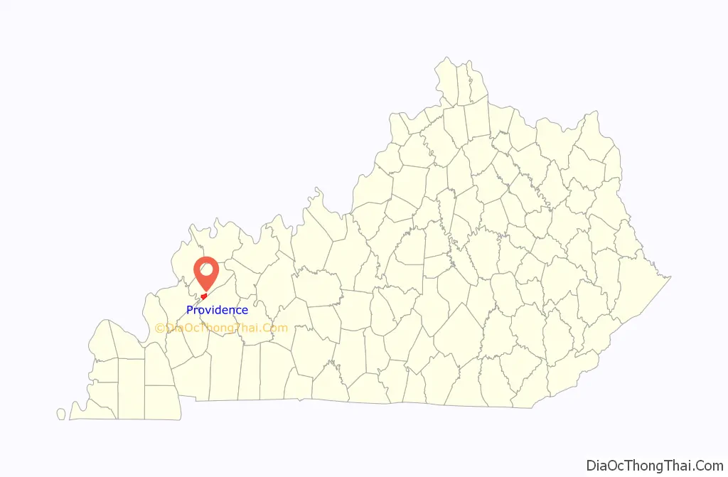
Providence location map. Where is Providence city?
History
In 1820, Richard B. Savage arrived from Virginia with his wife and his elder sister Mary (Savage) Settler, and opened a general store on the site of the present city. The community that grew up was known as Savageville, until the post office was established in 1828, when it was renamed “Providence”. Though sometimes said to honor the Rhode Island city of that name, local history records that an old trader who had been helped by nearby farmers suggested the name to honor divine Providence. On February 18, 1840, the town had a population of 150; there were three physicians, five stores, two hotels, a school, a Baptist church, a Masonic lodge, and three tobacco stemmeries. Located in the heart of the state’s Black Patch tobacco-growing region, Providence eventually became the 3rd-largest stemming market in all of America.
Providence was incorporated in 1860, when Webster County was formed. The onset of the Civil War slowed the economic growth, though no major battles took place. The State of Kentucky never left the Union, but inhabitants in Western Kentucky were still largely sympathetic to pro-Confederate troops. A Confederate reconnaissance and foraging party led by then Lieutenant Colonel Nathan Bedford Forrest passed through Webster County between November and December 1861, and Forrest reported that he had been welcomed by the inhabitants. Limited guerrilla warfare also took place near the city in 1862.
Commercial coal mining began in 1888, and by 1930 Providence residents numbered 4,742. In the 1930s, depressed conditions in the coal fields resulted in a loss of population that continued through the 1960s. Providence’s economy remains tied to coal and agriculture.
In 1993, the Providence Commercial Historic District was created to recognize the historic buildings in the downtown area.
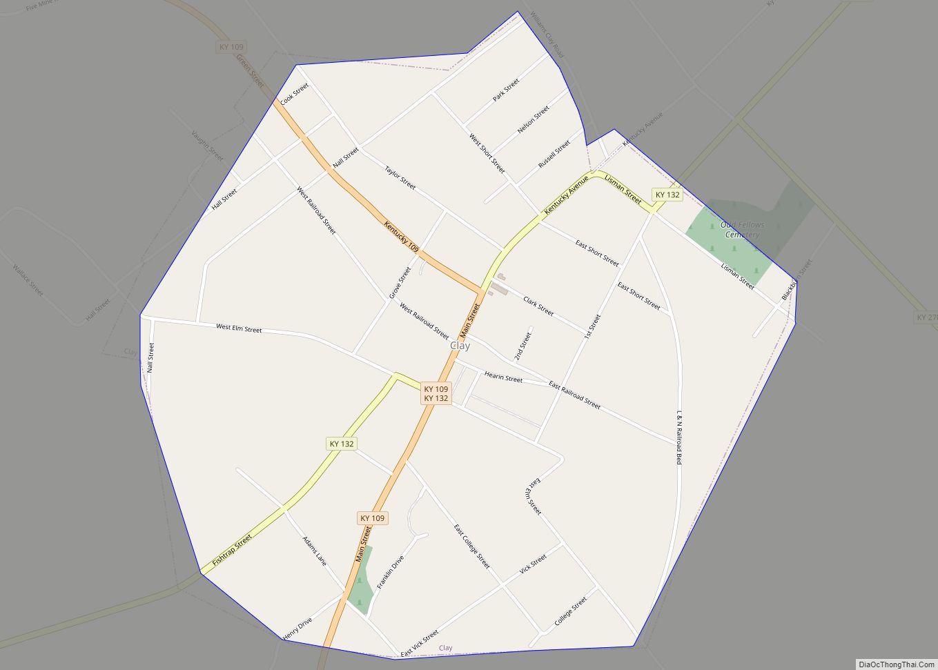
Providence Road Map
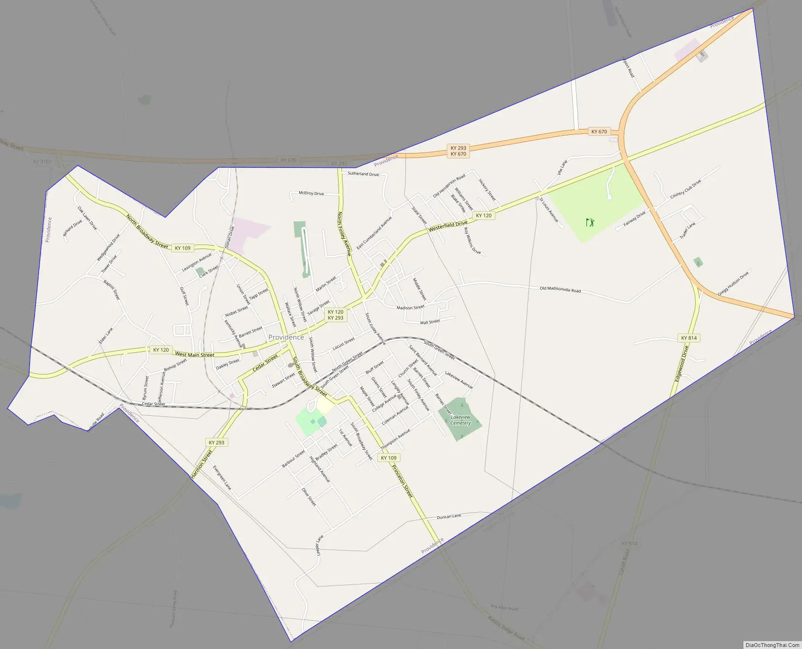
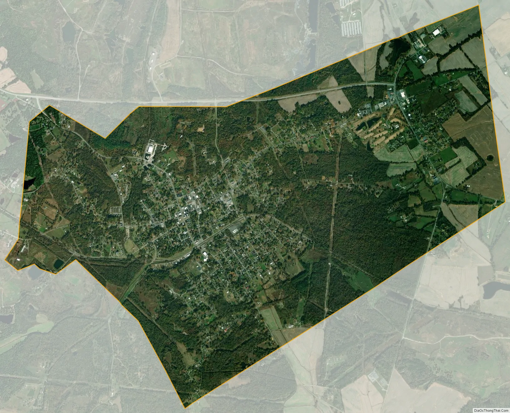
Providence city Satellite Map
Geography
Providence is located at 37°23′54″N 87°45′25″W / 37.39833°N 87.75694°W / 37.39833; -87.75694 (37.398389, -87.757077) The city is concentrated around the intersection of Kentucky Route 109 and Kentucky Route 120, approximately 17 miles (27 km) northwest of Madisonville. The Tradewater River flows just west of the city, and the Webster-Hopkins county line lies just to the southeast. U.S. Route 41A passes through the eastern part of Providence.
See also
Map of Kentucky State and its subdivision:- Adair
- Allen
- Anderson
- Ballard
- Barren
- Bath
- Bell
- Boone
- Bourbon
- Boyd
- Boyle
- Bracken
- Breathitt
- Breckinridge
- Bullitt
- Butler
- Caldwell
- Calloway
- Campbell
- Carlisle
- Carroll
- Carter
- Casey
- Christian
- Clark
- Clay
- Clinton
- Crittenden
- Cumberland
- Daviess
- Edmonson
- Elliott
- Estill
- Fayette
- Fleming
- Floyd
- Franklin
- Fulton
- Gallatin
- Garrard
- Grant
- Graves
- Grayson
- Green
- Greenup
- Hancock
- Hardin
- Harlan
- Harrison
- Hart
- Henderson
- Henry
- Hickman
- Hopkins
- Jackson
- Jefferson
- Jessamine
- Johnson
- Kenton
- Knott
- Knox
- Larue
- Laurel
- Lawrence
- Lee
- Leslie
- Letcher
- Lewis
- Lincoln
- Livingston
- Logan
- Lyon
- Madison
- Magoffin
- Marion
- Marshall
- Martin
- Mason
- McCracken
- McCreary
- McLean
- Meade
- Menifee
- Mercer
- Metcalfe
- Monroe
- Montgomery
- Morgan
- Muhlenberg
- Nelson
- Nicholas
- Ohio
- Oldham
- Owen
- Owsley
- Pendleton
- Perry
- Pike
- Powell
- Pulaski
- Robertson
- Rockcastle
- Rowan
- Russell
- Scott
- Shelby
- Simpson
- Spencer
- Taylor
- Todd
- Trigg
- Trimble
- Union
- Warren
- Washington
- Wayne
- Webster
- Whitley
- Wolfe
- Woodford
- Alabama
- Alaska
- Arizona
- Arkansas
- California
- Colorado
- Connecticut
- Delaware
- District of Columbia
- Florida
- Georgia
- Hawaii
- Idaho
- Illinois
- Indiana
- Iowa
- Kansas
- Kentucky
- Louisiana
- Maine
- Maryland
- Massachusetts
- Michigan
- Minnesota
- Mississippi
- Missouri
- Montana
- Nebraska
- Nevada
- New Hampshire
- New Jersey
- New Mexico
- New York
- North Carolina
- North Dakota
- Ohio
- Oklahoma
- Oregon
- Pennsylvania
- Rhode Island
- South Carolina
- South Dakota
- Tennessee
- Texas
- Utah
- Vermont
- Virginia
- Washington
- West Virginia
- Wisconsin
- Wyoming