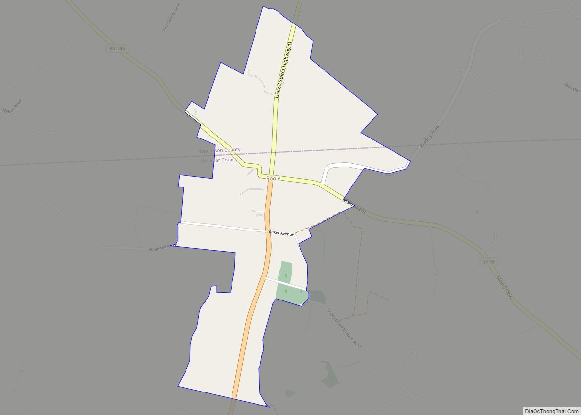
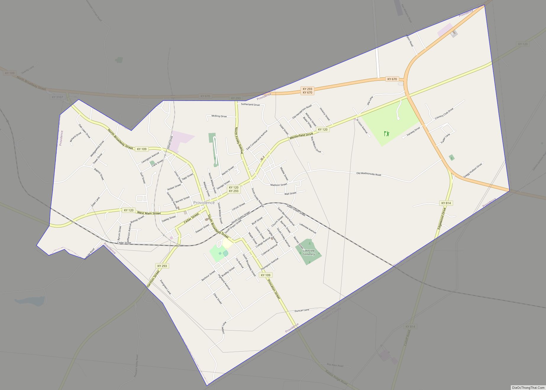
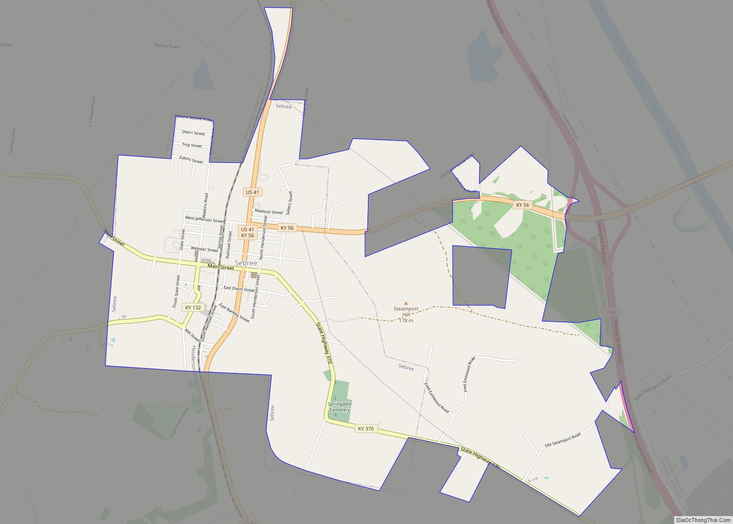
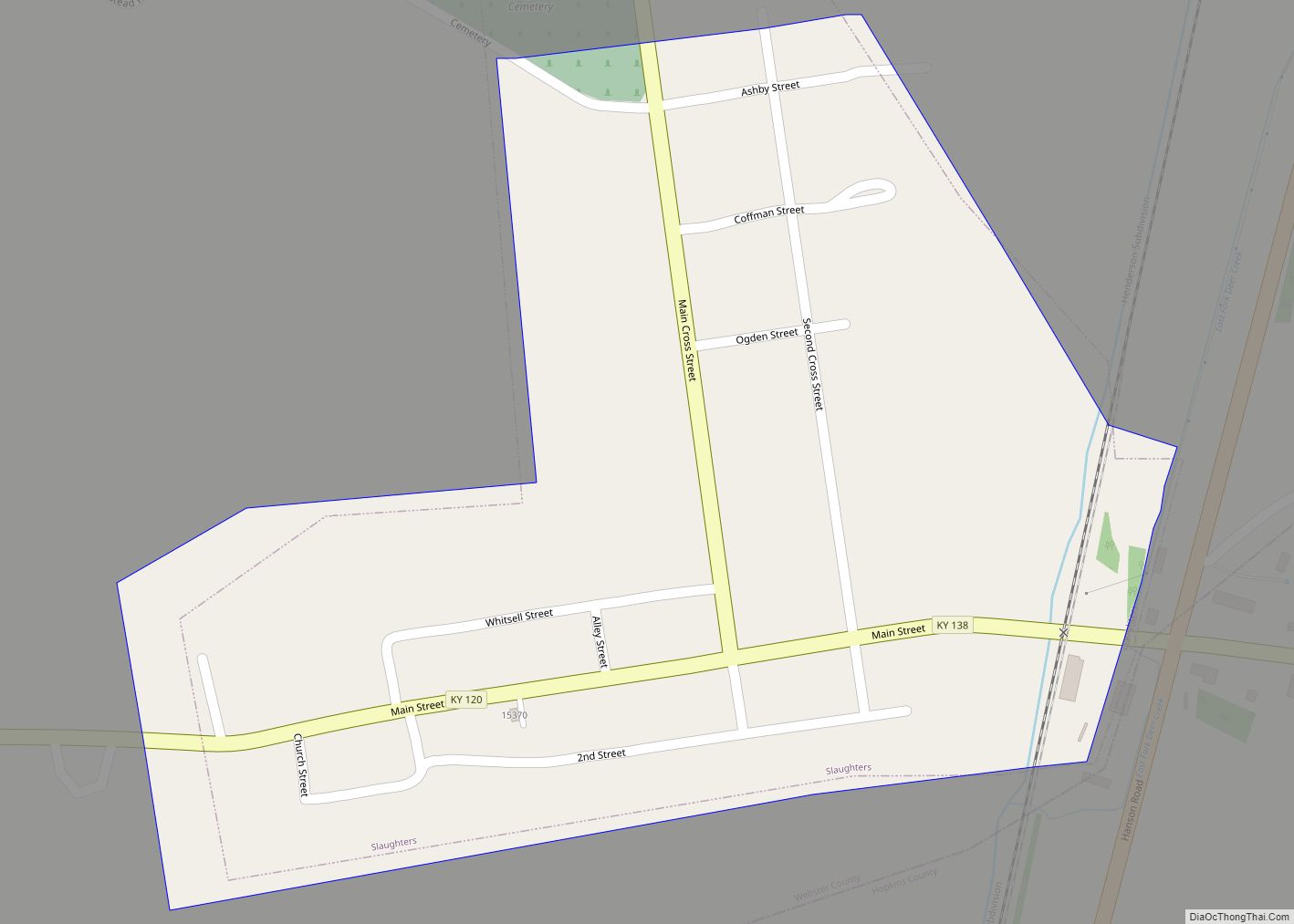
Sebree (/ˈsiːbri/) is a home rule-class city in Webster County, Kentucky, in the United States. The population was 1,603 at the 2010 census.
| Name: | Sebree city |
|---|---|
| LSAD Code: | 25 |
| LSAD Description: | city (suffix) |
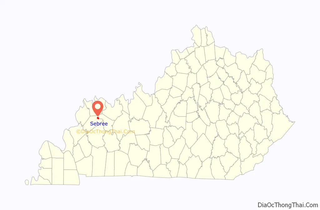
| State: | Kentucky |
| County: | Webster County |
| Incorporated: | 1871 |
| Elevation: | 387 ft (118 m) |
| Total Area: | 2.95 sq mi (7.63 km²) |
| Land Area: | 2.94 sq mi (7.61 km²) |
| Water Area: | 0.01 sq mi (0.02 km²) |
| Total Population: | 1,574 |
| Population Density: | 535.74/sq mi (206.88/km²) |
| ZIP code: | 42455 |
| Area code: | 270 |
| FIPS code: | 2169222 |
| GNISfeature ID: | 0503138 |
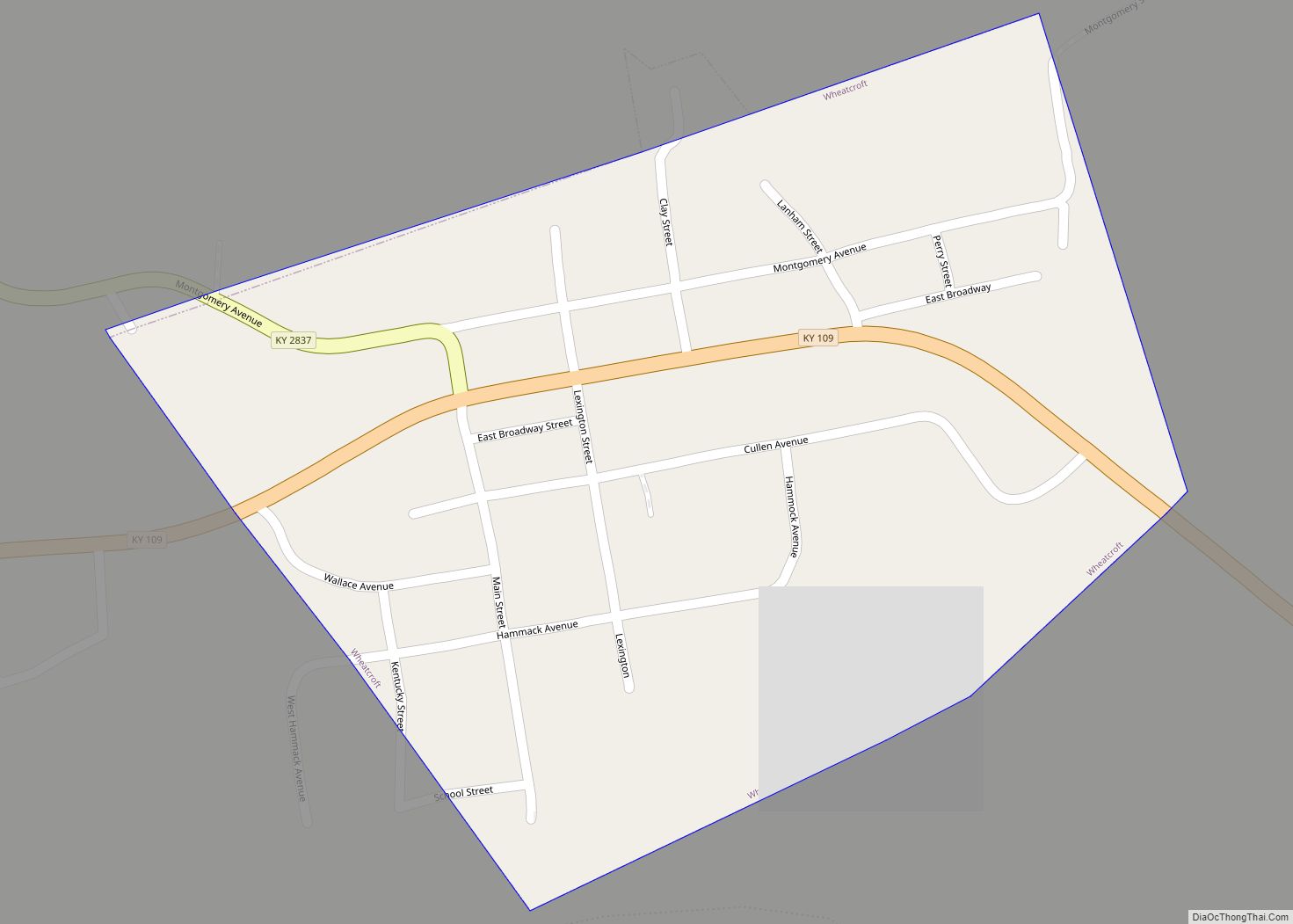
Online Interactive Map
Click on ![]() to view map in "full screen" mode.
to view map in "full screen" mode.
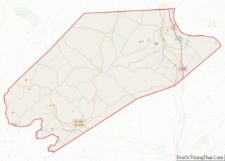
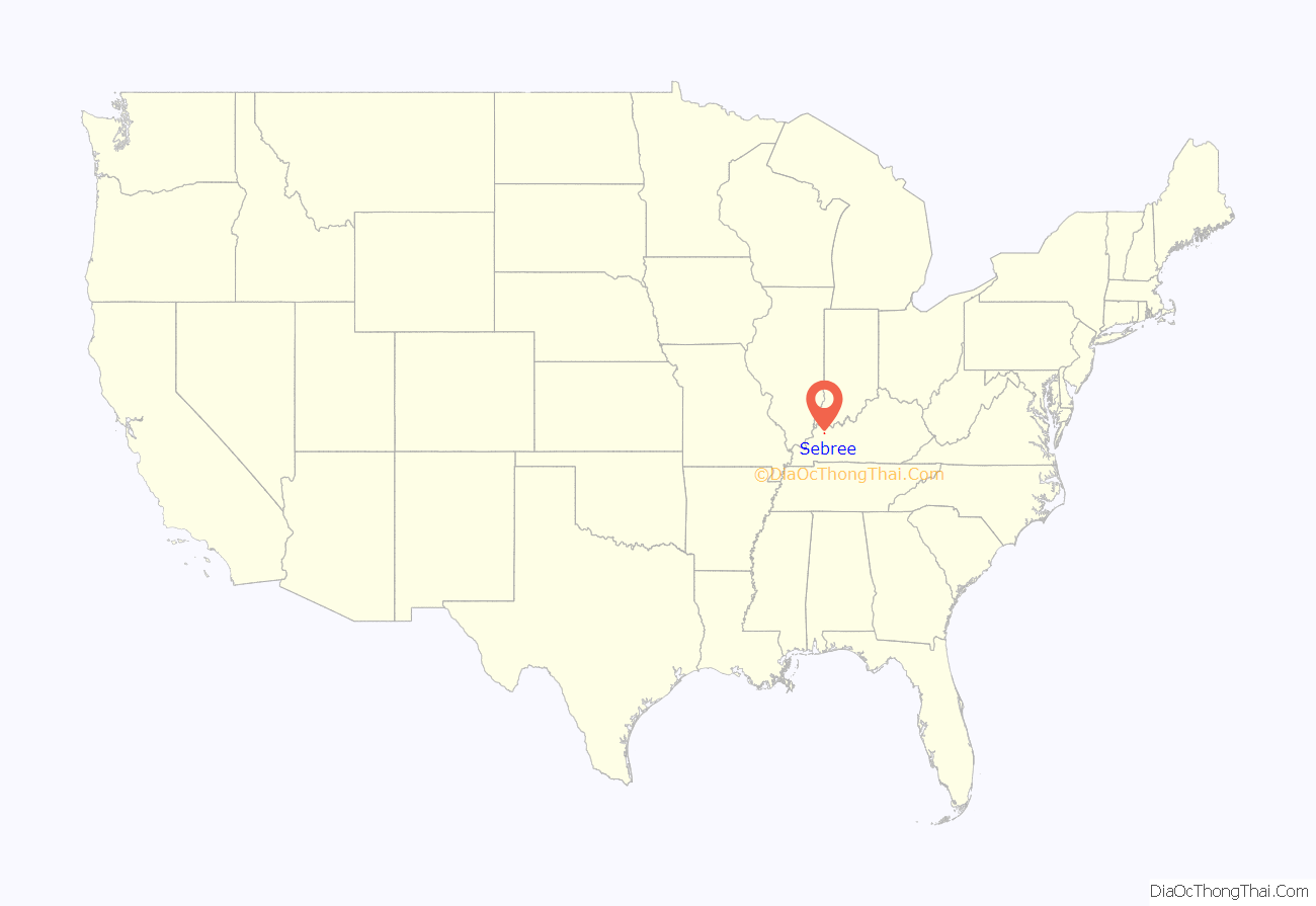
Sebree location map. Where is Sebree city?
History
Sebree was founded as a railroad town in 1868, just ahead of the arrival of the Louisville and Nashville Railroad in October. The town founders, William Scott and Col. E.G. Sebree, intended to name it Springdale after nearby natural springs, but the name was preëmpted by another community in Mason County. The post office was initially named McBride, but renamed for Col. Sebree (the first president of the St. Bernard Mining Company) in 1870 for his assistance in bringing the railroad to this part of the state.
The L&N depot was on the eastern side of the track and furnished with day and night operators. At one time, Sebree was home to some 40 businesses, hotels, shops and stores. The first nondenominational church was erected in 1870. It was quickly followed by Methodist, Catholic, and Baptist churches. The town was also home to Sebree Springs, a summer resort and park operated by G.L. Dial. Telephone service arrived in 1895, and several tobacco factories were also built.
The historic Sebree Deposit Bank (c. 1890) is still in operation with a refurbished interior including a marble floor. Another historic site in the area is the Queen Anne McMullin-Warren House (c. 1901).
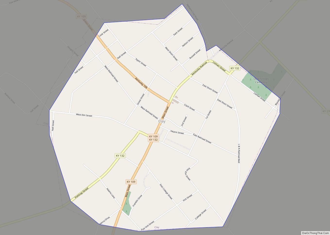
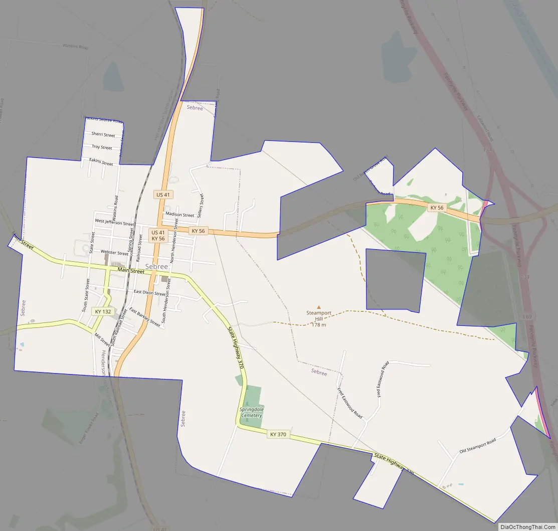
Sebree Road Map
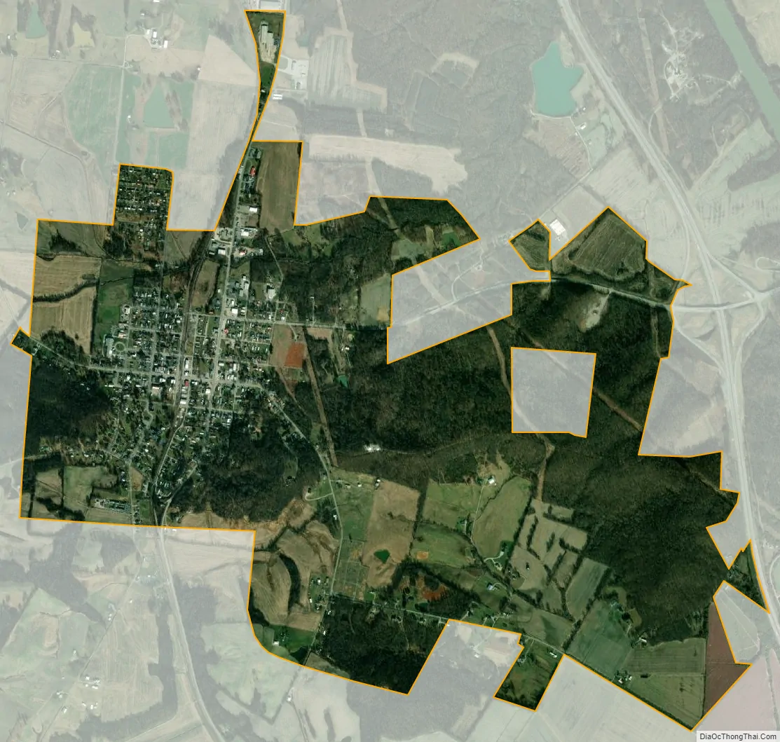
Sebree city Satellite Map
Geography
Sebree is located at 37°36′29″N 87°31′46″W / 37.60806°N 87.52944°W / 37.60806; -87.52944 (37.608104, -87.529356). According to the United States Census Bureau, the city has a total area of 1.6 square miles (4.1 km), all land.
See also
Map of Kentucky State and its subdivision:- Adair
- Allen
- Anderson
- Ballard
- Barren
- Bath
- Bell
- Boone
- Bourbon
- Boyd
- Boyle
- Bracken
- Breathitt
- Breckinridge
- Bullitt
- Butler
- Caldwell
- Calloway
- Campbell
- Carlisle
- Carroll
- Carter
- Casey
- Christian
- Clark
- Clay
- Clinton
- Crittenden
- Cumberland
- Daviess
- Edmonson
- Elliott
- Estill
- Fayette
- Fleming
- Floyd
- Franklin
- Fulton
- Gallatin
- Garrard
- Grant
- Graves
- Grayson
- Green
- Greenup
- Hancock
- Hardin
- Harlan
- Harrison
- Hart
- Henderson
- Henry
- Hickman
- Hopkins
- Jackson
- Jefferson
- Jessamine
- Johnson
- Kenton
- Knott
- Knox
- Larue
- Laurel
- Lawrence
- Lee
- Leslie
- Letcher
- Lewis
- Lincoln
- Livingston
- Logan
- Lyon
- Madison
- Magoffin
- Marion
- Marshall
- Martin
- Mason
- McCracken
- McCreary
- McLean
- Meade
- Menifee
- Mercer
- Metcalfe
- Monroe
- Montgomery
- Morgan
- Muhlenberg
- Nelson
- Nicholas
- Ohio
- Oldham
- Owen
- Owsley
- Pendleton
- Perry
- Pike
- Powell
- Pulaski
- Robertson
- Rockcastle
- Rowan
- Russell
- Scott
- Shelby
- Simpson
- Spencer
- Taylor
- Todd
- Trigg
- Trimble
- Union
- Warren
- Washington
- Wayne
- Webster
- Whitley
- Wolfe
- Woodford
- Alabama
- Alaska
- Arizona
- Arkansas
- California
- Colorado
- Connecticut
- Delaware
- District of Columbia
- Florida
- Georgia
- Hawaii
- Idaho
- Illinois
- Indiana
- Iowa
- Kansas
- Kentucky
- Louisiana
- Maine
- Maryland
- Massachusetts
- Michigan
- Minnesota
- Mississippi
- Missouri
- Montana
- Nebraska
- Nevada
- New Hampshire
- New Jersey
- New Mexico
- New York
- North Carolina
- North Dakota
- Ohio
- Oklahoma
- Oregon
- Pennsylvania
- Rhode Island
- South Carolina
- South Dakota
- Tennessee
- Texas
- Utah
- Vermont
- Virginia
- Washington
- West Virginia
- Wisconsin
- Wyoming